More information about this section…
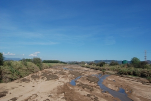
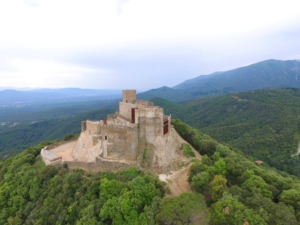
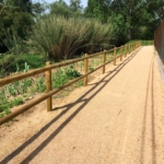
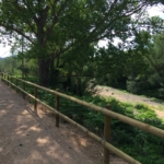
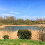
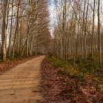
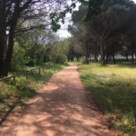
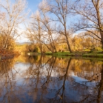
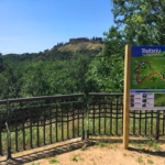
The Tourdera section from Hostalric to La Batllòria is a very easy walk despite its 12-kilometre length, as it is a very flat section with extremely low elevation changes. Therefore, this route offers a very pleasant experience, allowing you to discover the natural heritage along the banks of the Tordera River, the final stretch of the Arbúcies Stream (a PEIN and Natura 2000 protected area), and the Llobateres wetland. At the same time, this section allows you to discover the cultural heritage associated with the medieval town of Hostalric (the Fortress, the walled enclosure, the Torre dels Frares, etc.). You can also make a detour to the Gorg d’en Perxistor (signposted from the route), a commemorative monument marking the site of a pool where, according to tradition, Ramon Berenguer II, Cap d’Estopes, was murdered by his brother Berenguer Ramon the Fratricide. The final objective is to reach La Batllòria, which belongs to the municipality of Sant Celoni.
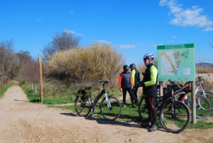
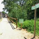
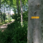
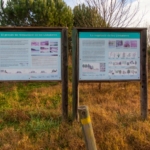
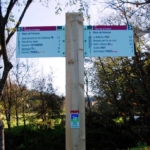
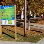
To follow the route, you can start either at the Hostalric Tourist Office or from the sports area. In both cases, ample parking is available and you will find a route information panel at each location. If you start at the Tourist Office, head towards carrer Raval and continue uphill to Plaça dels Bous, where you will find route signs indicating the way towards the market gardens of Hostalric. Always follow the wayfinding signs and the yellow painted trail markers. If, instead, you start from the sports area, from the information panel, which is also a bicycle service point, head towards the Arbúcies Stream or the Parc de les Rieres. In other words, follow Via Romana street in a south-west direction and, after scarcely 500 metres, you will find the route signs and yellow markers. Specifically, you will find the signpost indicating the exact point where the main route and the Arbúcies Stream route converge.
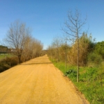
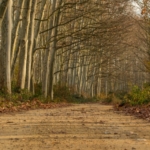
In either case, always follow the signs towards La Batllòria and the yellow route markers, which will guide you along the Tordera River, the Arbúcies Stream (Parc de les Rieres area), through poplar groves, and more, almost entirely on forest tracks, until you reach the footbridge leading to La Batllòria. At that point, you must cross the footbridge over the Tordera River, and within a few metres you will arrive in La Batllòria, where you will find some bar and restaurant services.
Remember that there is a train station in Hostalric and that very close to La Batllòria (500 m) you will find Gualba train station, through which the route also passes. This may therefore be a good opportunity to reach the route easily and to return home afterwards.