The Tourdera route through the municipality of Arbúcies covers no less than a 35.7 km route, from its connection with the municipality of Montseny (near the Coll de Sant Marçal), to Montsoriu Castle, in the municipality of Sant Feliu de Buixalleu. In all these kilometers, the damage during Storm Gloria was significant, especially on the route that coincides with the “Passeig per la riera” (Stream Walk) and at all those points where it crosses watercourses. For this reason, although improvements have already been made, such as those we comment on here, remember that before doing any section, it is advisable to consult the route map with the current conditions.
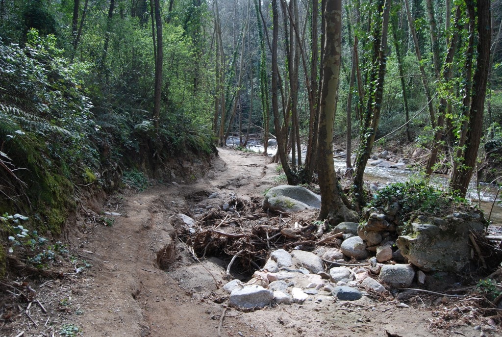
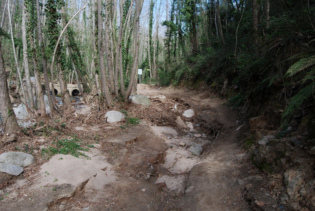
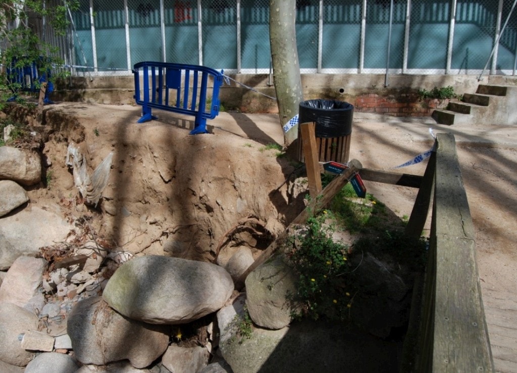
As in many other parts of the geography through which the Tourdera route runs, Arbúcies was not saved from the strong impacts that the weather has brought us this year, especially at the beginning of the year with Storm Gloria. Many points of the well-known “Passeig per la riera” were severely affected, as were some signaling elements.
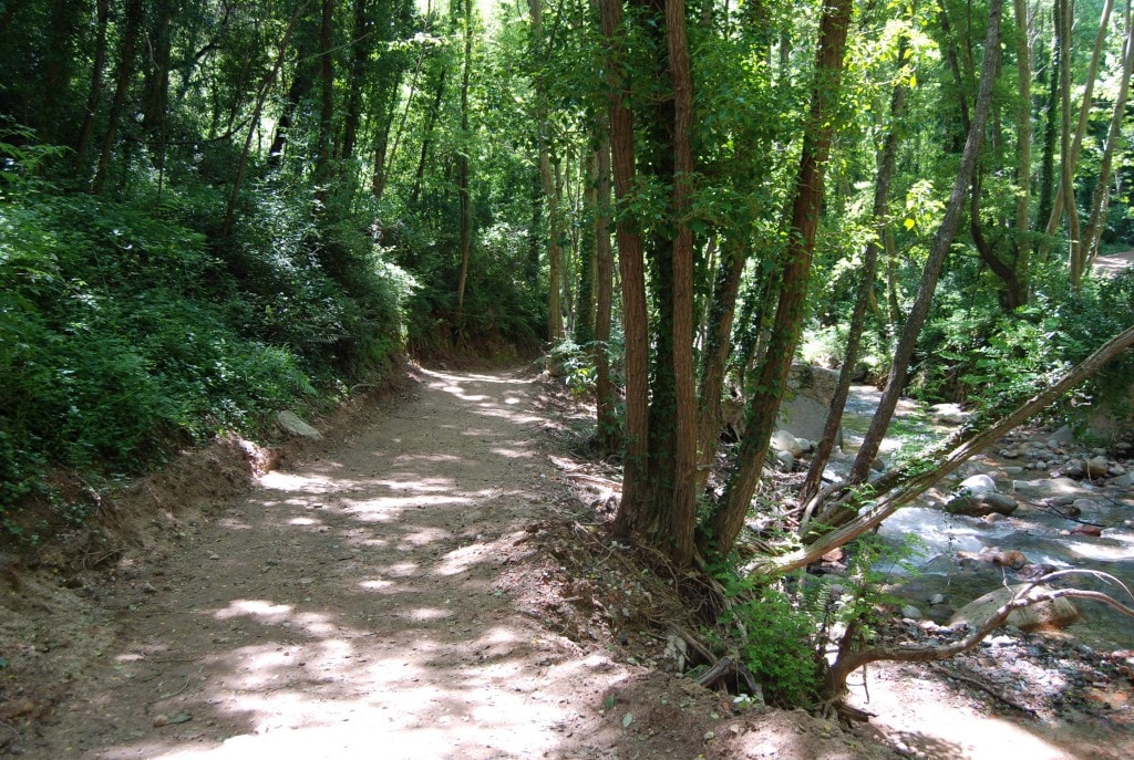
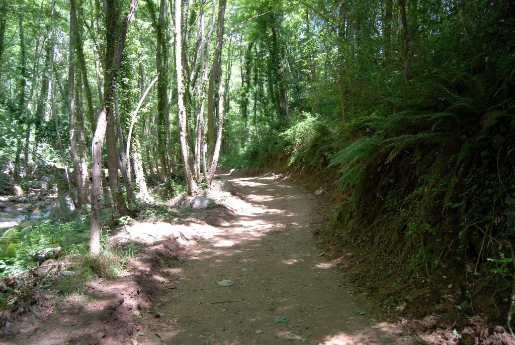
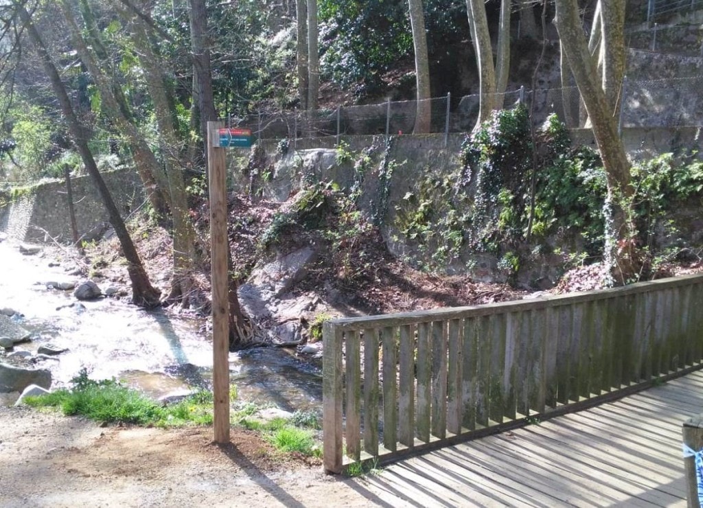
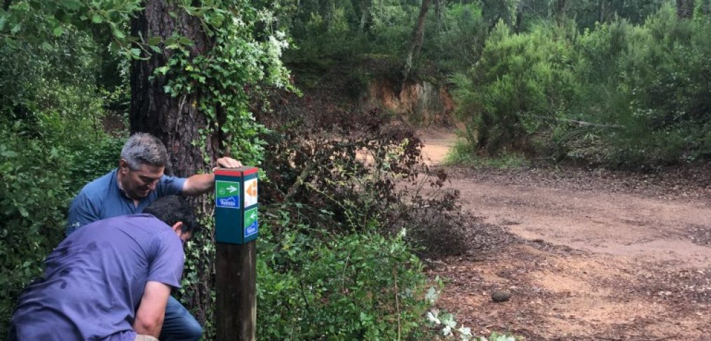
Currently, the most affected signage, and above all, that which affected the tracking of the route, has already been repaired and/or replaced, as have some of the most damaged points that hindered the correct and safe circulation of users. Construction work continues in other areas, although you can still complete the route by informing yourself about the most problematic points on the route map with the current conditions.
Below we show you some of the improvements that have already been carried out, with the effect the storm had and the improvements made: