
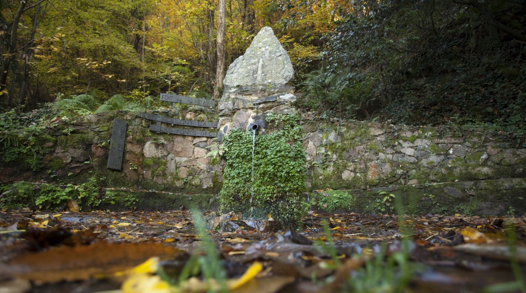
Do you know about the “Fonts del Montseny” project? It is an initiative that aims to study the springs of the Montseny which, since 2016, has managed to identify almost 900 springs in the Montseny massif, classify them, georeference them, and provide descriptive information and data on the chemistry of their waters. Do you want to know more?
Since 2016, Óscar Farrerons (Montseny scholar) and Adrià Corella (photographer) have been developing a project of great interest for the Montseny. It is an exhaustive investigation and documentation work of nearly 900 springs spread across the 18 municipalities that form part of the Montseny Natural Park. In a context of drought like the one we are currently in, it is worth remembering that the springs have historically been meeting points, excursion goals, axes around which people met and socialised. In fact, the Tourdera is a route that, for many, pursues the goal of reaching a spring, the Font Bona, where the Tordera River is born.
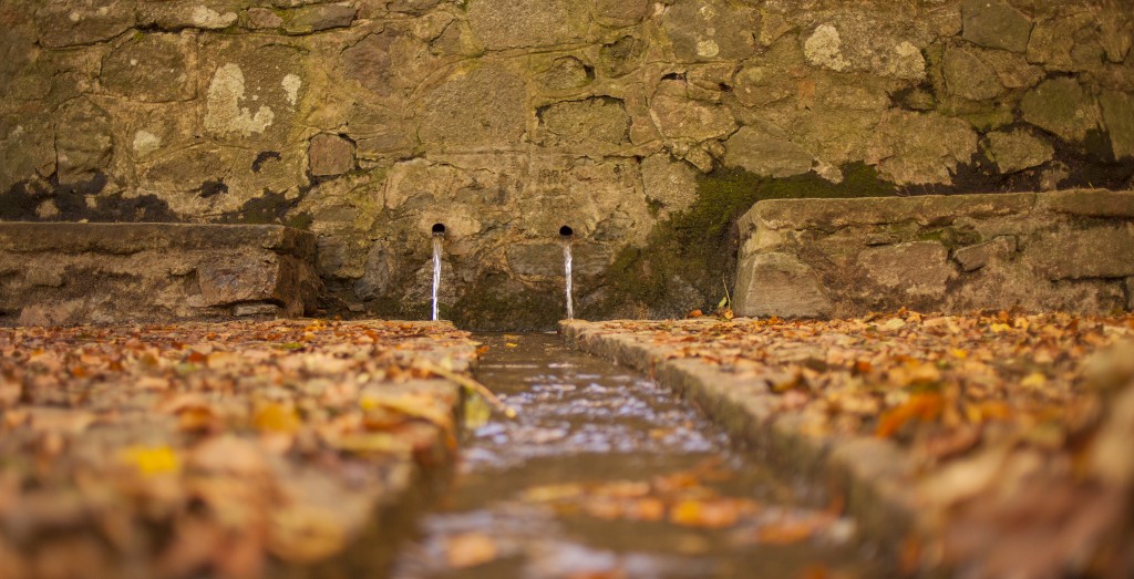
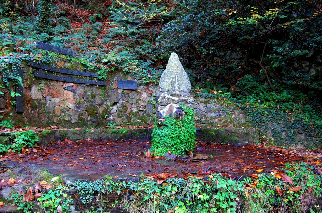
Although inventories of springs had been made in the Montseny before, such as those by López and Bombí in 1991 (very focused on the Santa Fe area), Carmona’s in 2001 (to relate the chemical content of the waters to the geology of the area), and the one carried out by Gallard in 2003 (with proposals for the improvement of 56 springs), among others, never before had an inventory as exhaustive as the one presented by Óscar and Adrià been carried out, with almost 900 springs. It is for this reason that the magazine Ciencia y tecnología has written an article about them. This inventory has made it possible to identify both natural springs and springs created with stone and brick architectural constructions, where the water outlet takes place through a channel or a tap.
All the springs in the project have been georeferenced and can be consulted, as you can see in the following map created by the authors, according to the category they have been assigned:
– Green: springs pending discovery but for which the authors have indications that they are in that location.
– Red: forest springs already located and classified.
– Blue: urban springs already located and classified.
– Black: springs 100% disappeared.
As you will see, there is still a large number of springs pending location, although there are indications that they are in the area where they have been mapped. Of all the springs currently existing and located, the authors have visited them and detail their exact location (geographic coordinates), describe their state of conservation, access to the spring, associated legends (if any), current photographs, and a chemical-mineral analysis of their waters in an accredited laboratory.
If you hike the Tourdera and want to discover some of the springs in the inventory, you can activate the “Fonts” category on the map, and the springs closest to the itinerary will appear, which can help you stock up on water during your excursion. You will see that some are urban springs, but you will also find them during the route through the middle of the forest.
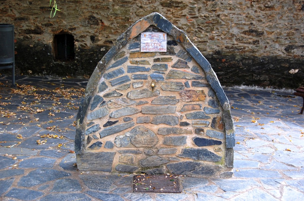
And, if you want more information about the “Fonts del Montseny” project, you can visit their website. We hope this article is of interest to you and contributes a little more to the knowledge and awareness of preserving springs as heritage elements.



















