As we mentioned last week, the Tourdera has some routes that we call “link” routes, which are branches of the route itself that connect population centers near the Tordera, but are not located right next to the river itself. This is the case, for example, of the section we present today, which connects Riells i Viabrea with La Batllòria, from where you can access the main route.
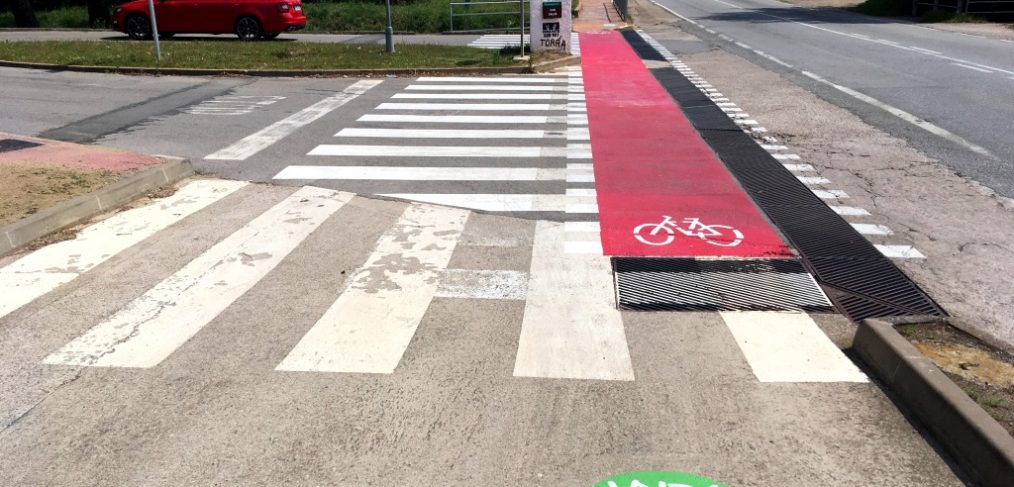
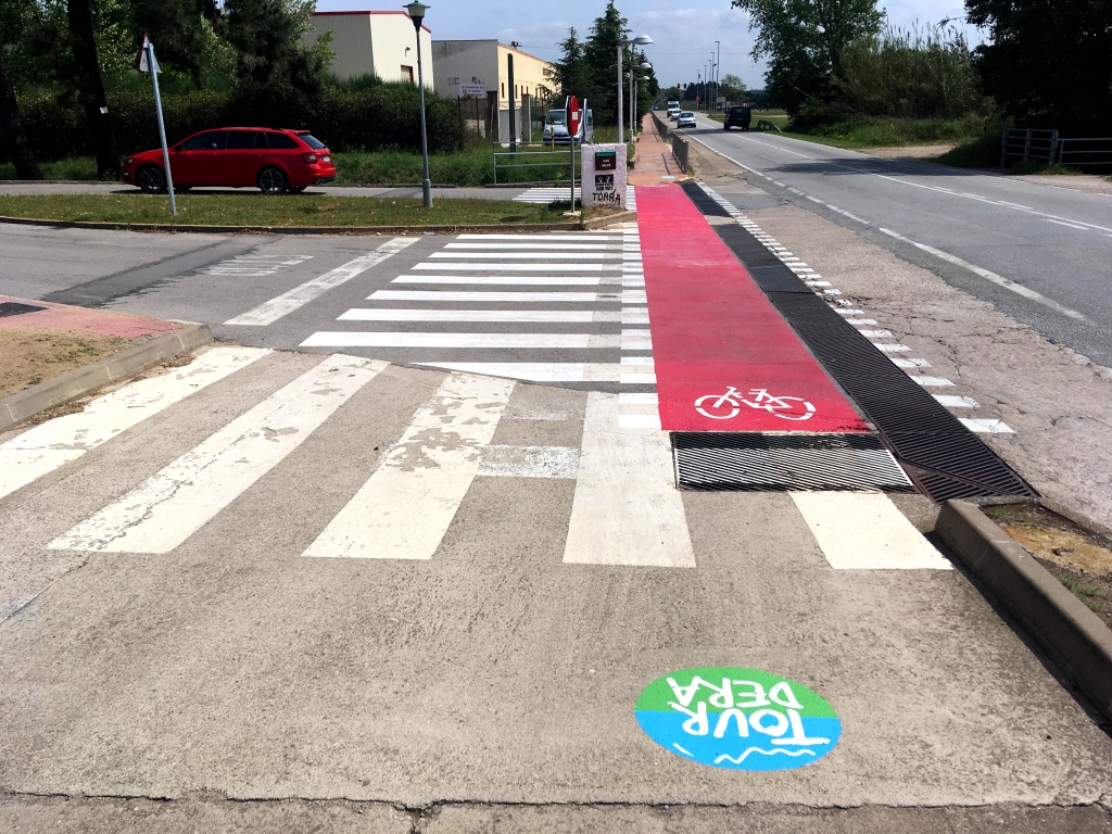
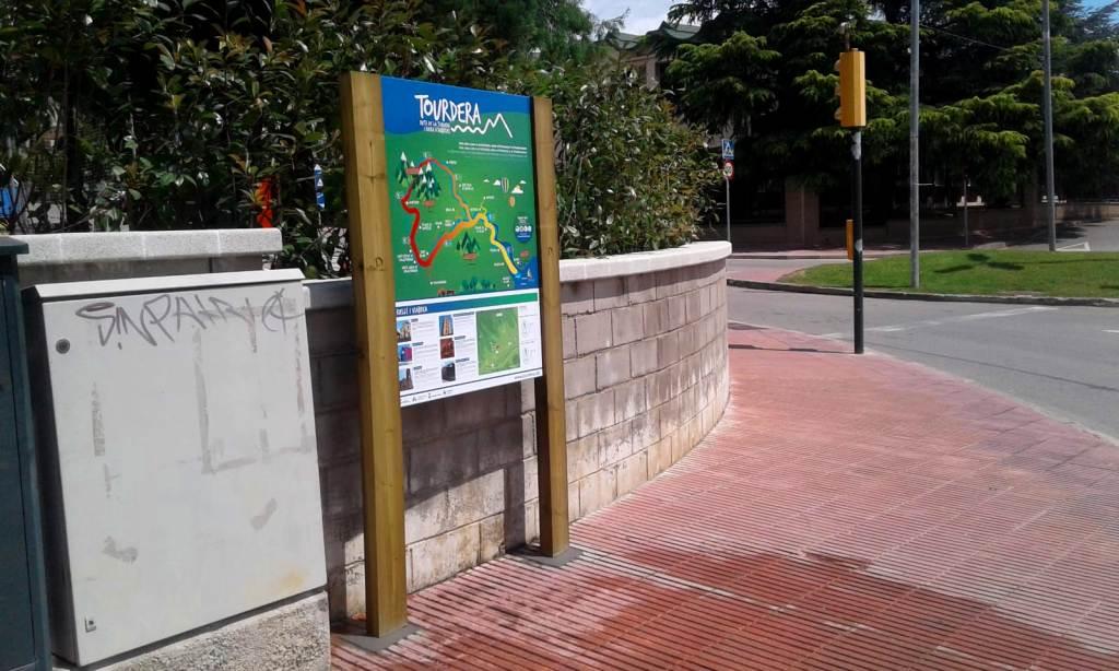
Continuing to present the recently activated sections of the Tourdera, today we bring you the information and tracks of the section that connects Riells i Viabrea (from Can Salvà) with La Batllòria (municipality of Sant Celoni). It is one of the simplest sections of the entire route, with barely 2 kilometers of signposted itinerary, no gradient, and minimal physical exertion. In this section, apart from all the signage typical of the route, some work has been done on the surface aimed at improving the safety of the users of the route, especially regarding road markings and vertical warning signs for motorized vehicles.
If you want to consult the section files, in both directions, you can access the information here:
We leave you with some photographs of the section and the work that has been carried out, hoping you like it and will use it soon!
The adaptation and signage works of the Girona sections of the route have been co-financed by the Girona Provincial Council and the different participating municipalities: