Section Tourdera Breda – Castell de Montsoriu

Descripció del tram

The section of the Tourdera between Breda and the Castell de Montsoriu is of moderate difficulty, as although it is only between 5.5km and 7.5km (depending on whether you are walking or cycling), it is a mostly uphill route with an approximate positive elevation gain of nearly 500m. Above all, keep in mind that the path differs slightly if you go on foot, where you will climb the last section towards the castle along a path in the middle of the forest, or if you do it by bicycle, where this last section will be along a forest track (in any case, you will need a prepared bicycle, whether it is a mountain bike or gravel bike). At the beginning of the section, you will find a wide range of cultural offerings and services in the town of Breda, a pottery town with interesting heritage. Keep in mind that at the end of the route you will find yourself at the Castell de Montsoriu (for more information consult the castle’s website), where you will not find return transport, so you must take this into account when planning your route.

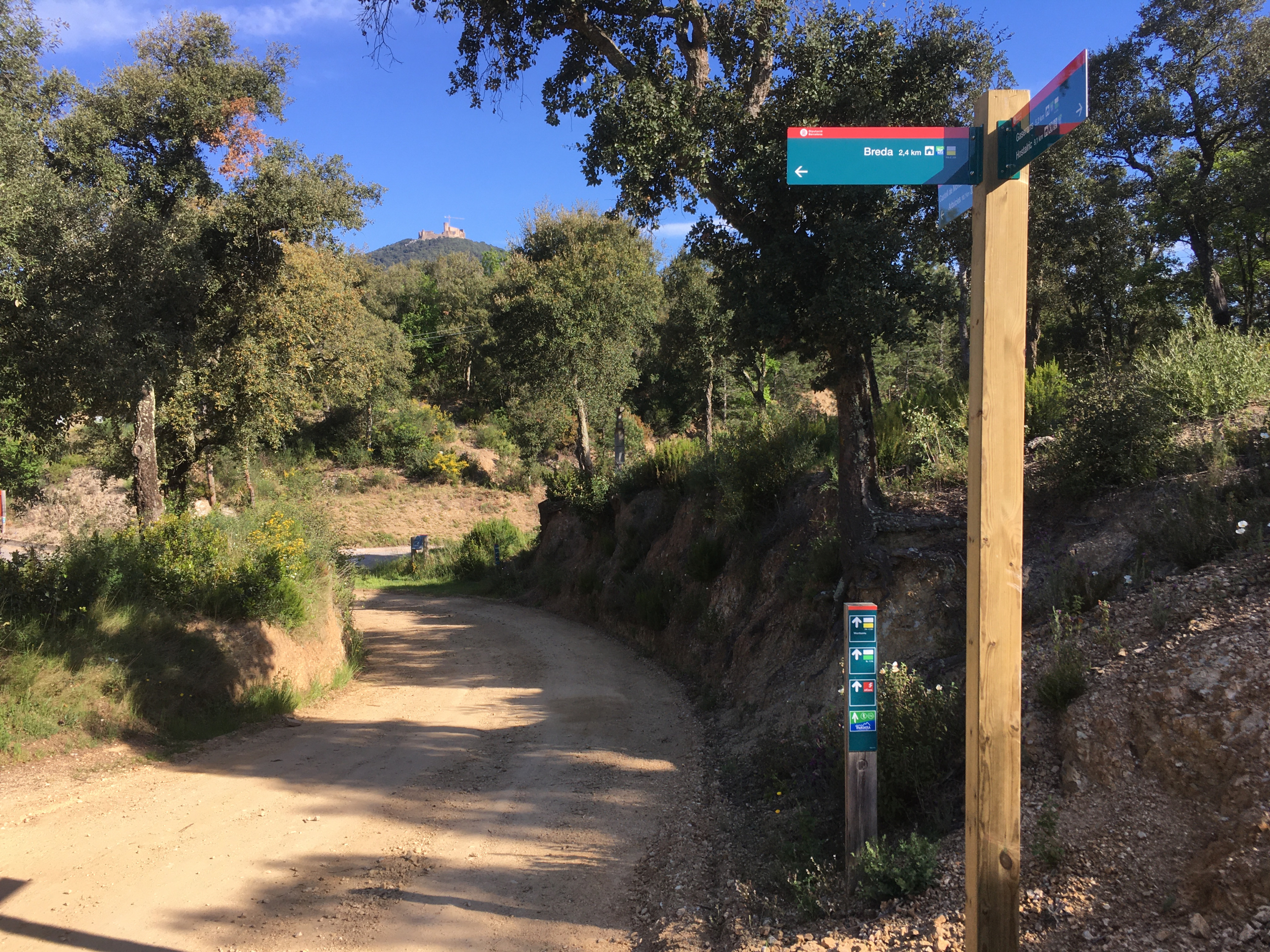
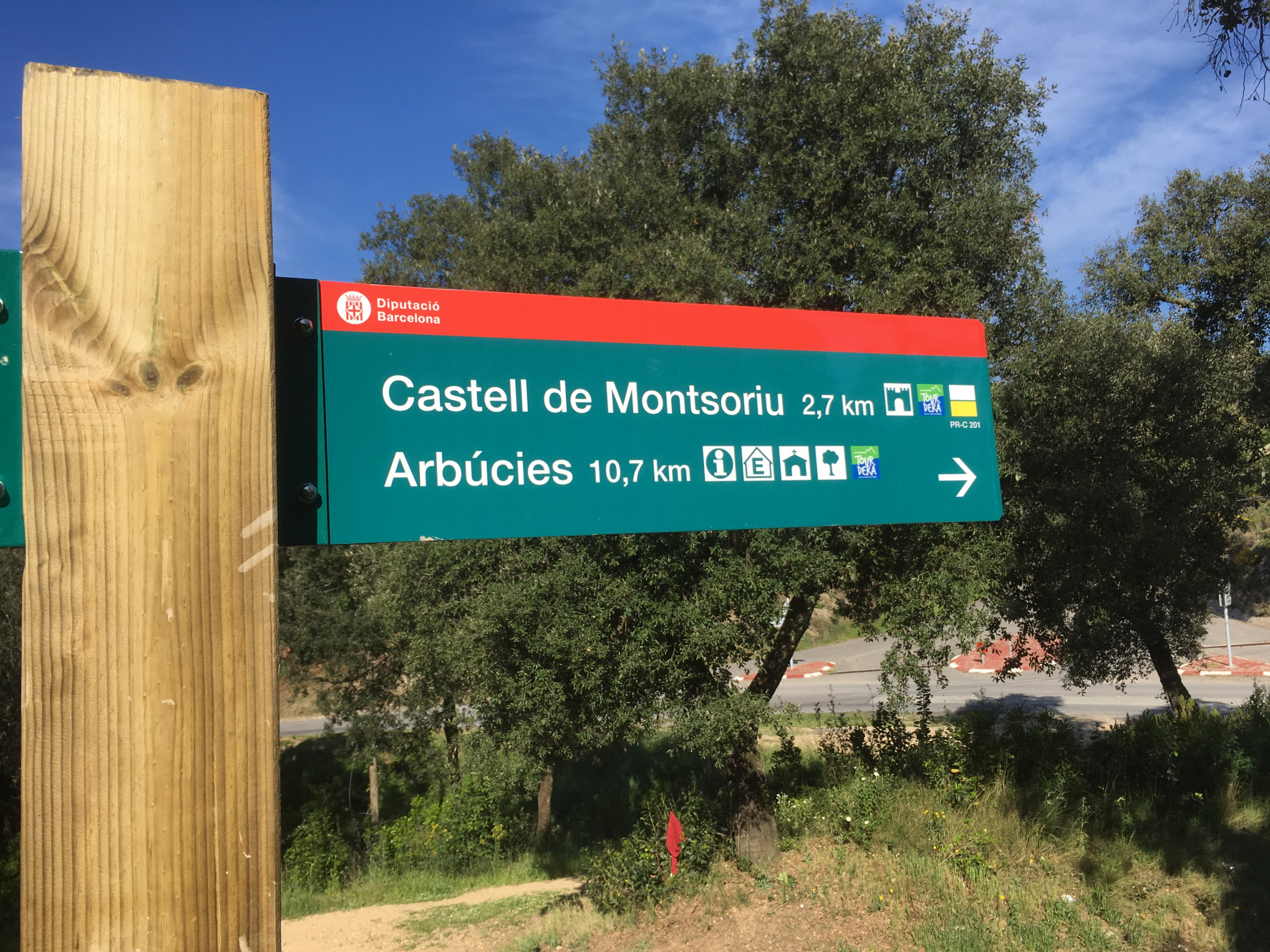
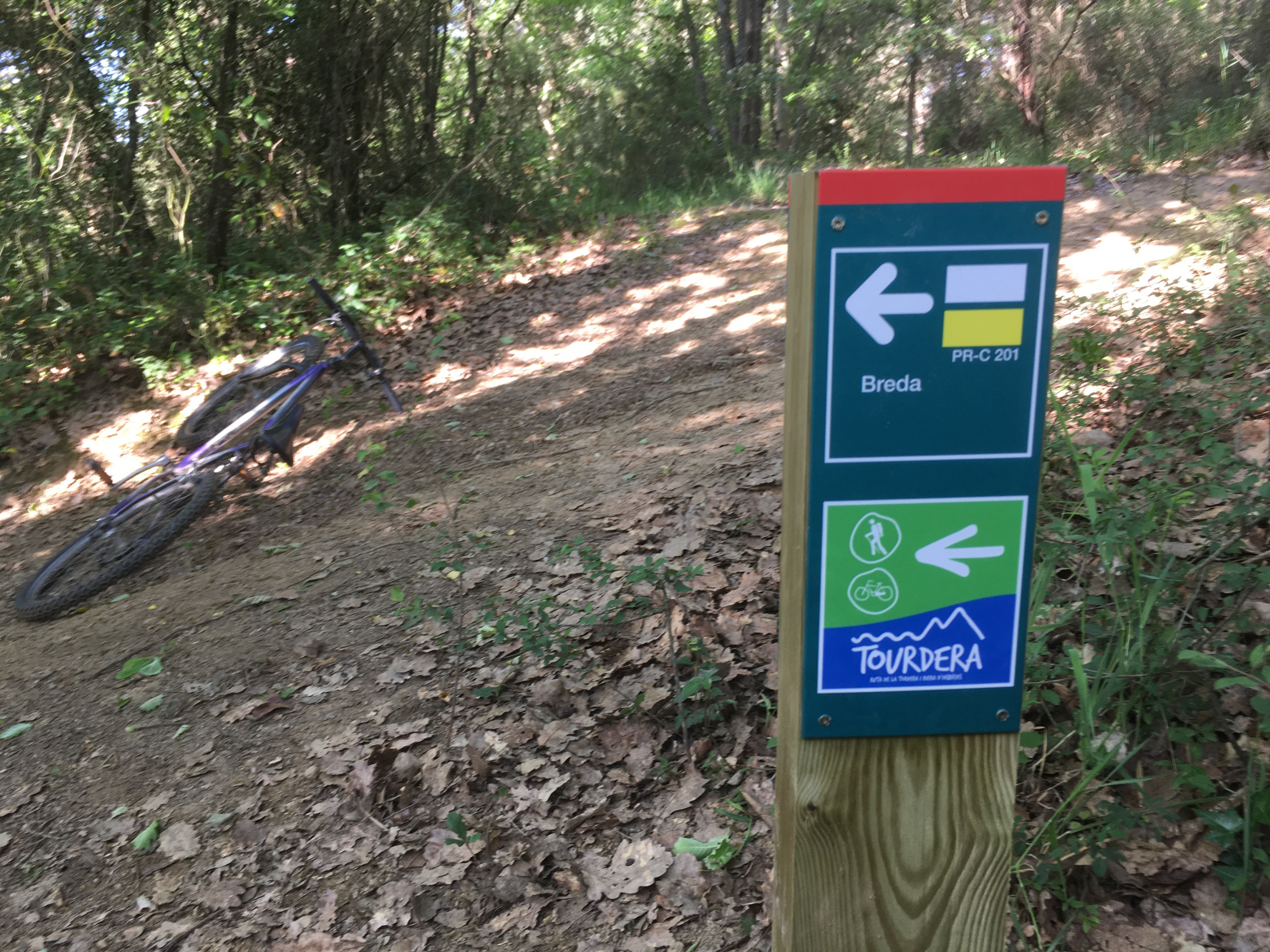
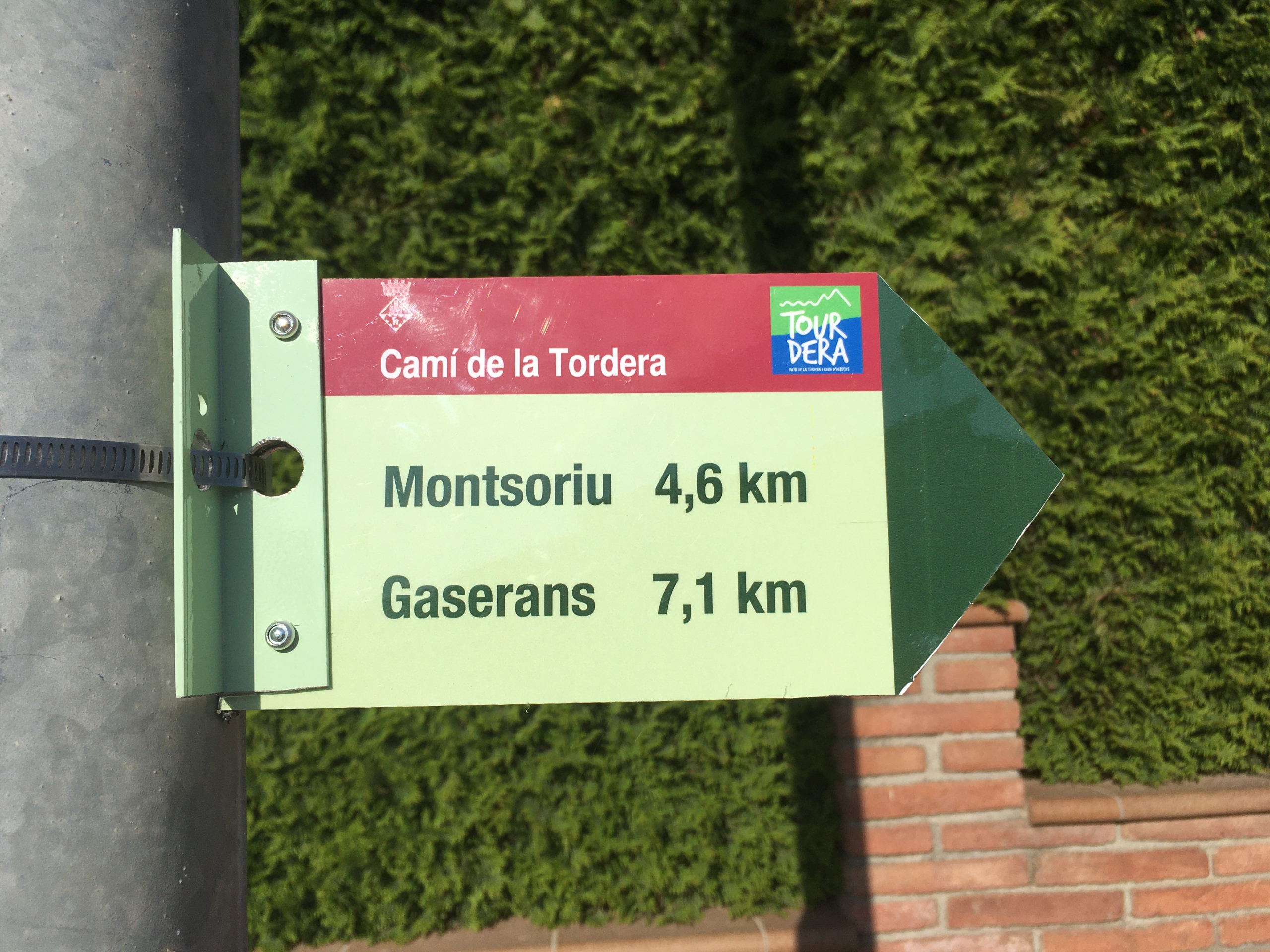
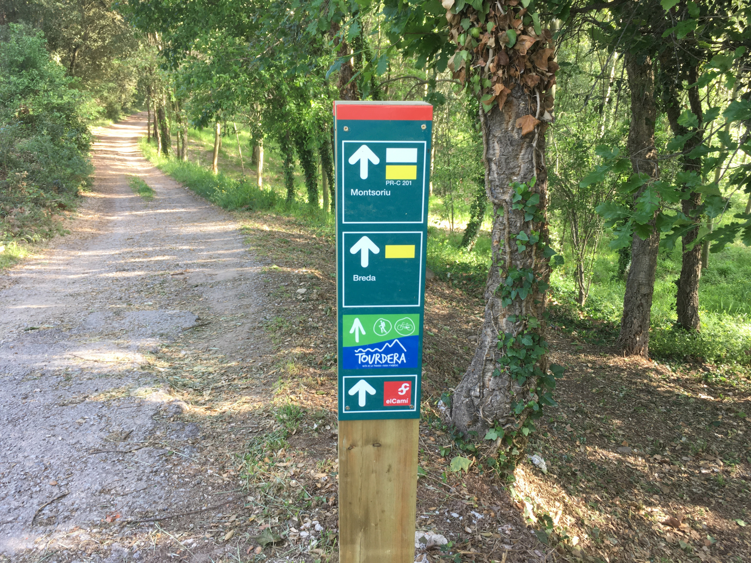
At the beginning of the section, in the town of Breda, you will have parking without any problem. To follow the route, you just need to pay attention to the route signage where you will always see the characteristic blue and green image. Finally, remember that you will be able to do the route and enjoy the walk through a natural environment on the edges of the Parc Natural del Montseny, and you must always avoid deviating from the marked path and respect the flora and fauna of the surroundings at all times.
Bicycle variant

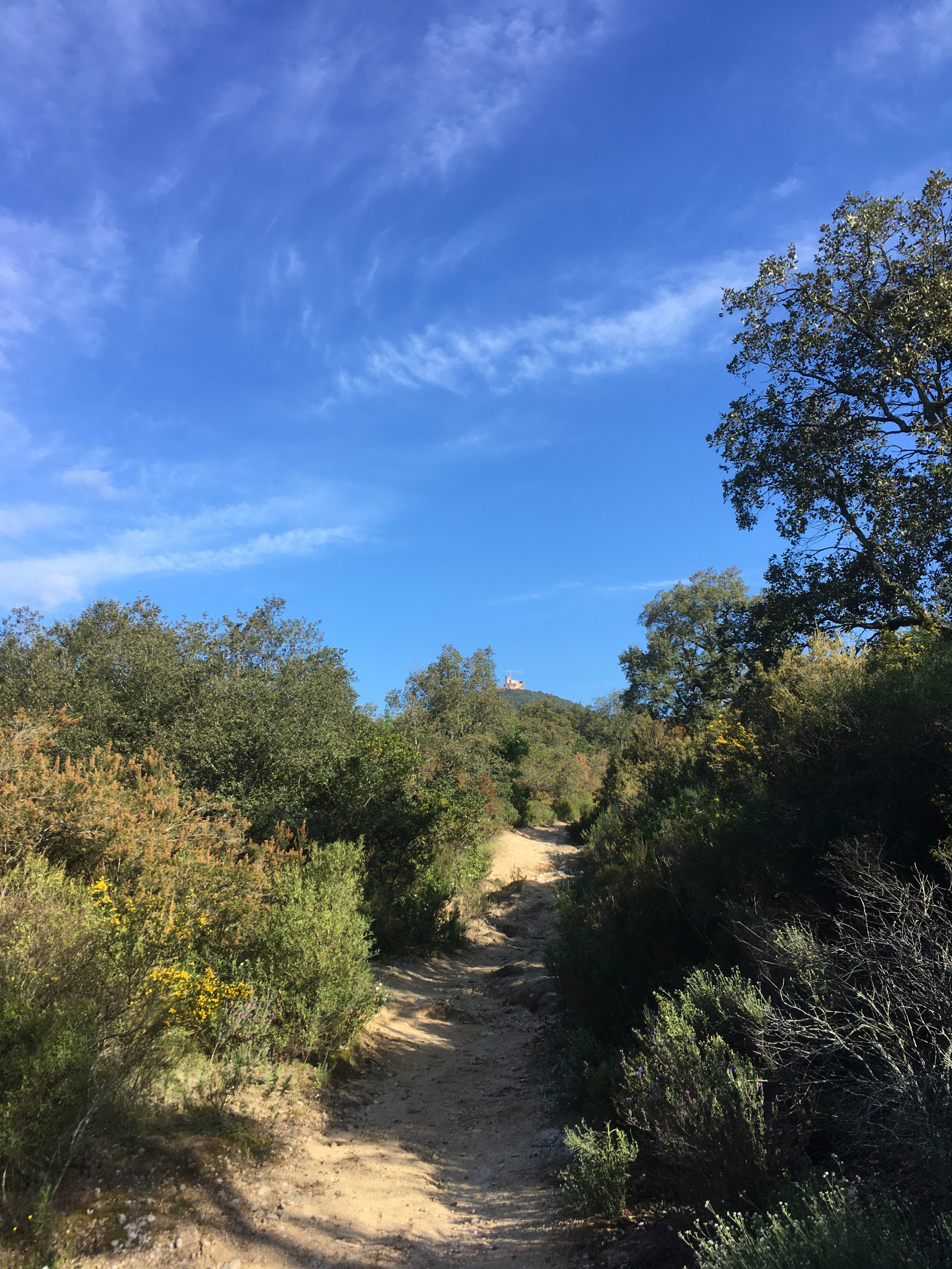
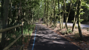
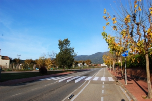
Practically this entire section of the route is shared between hikers and bicycle users, except for the final climb to the Castell de Montsoriu. From the Plaça de la Vila, where you will find the route panel, you will need to head along Carrer Nou in a north-easterly direction towards the Arbúcies road, following the signs. When you exit through the north area of the town, you will head towards the Coll de n’Orri, in a natural and quiet environment. Keep in mind that you will need a more or less prepared bicycle, such as a mountain bike or at least a gravel bike, as at some point the sandy soil can be slippery and the slopes can be a bit steep. Once at the Coll, you will have been seeing the castle in the distance for a while, and you will take a track that will take you closer to your final destination. From the castle, you will enjoy interesting panoramic views and, above all, you will have the possibility to take a guided tour of this interesting Catalan Gothic castle (for more information consult the castle’s website).

Hiking variant

As seen on the map, practically the entire itinerary is the same as that for bicycle users, except for the final part of the climb to the Castell de Montsoriu. Just as in that case, from the Plaça de la Vila, where you will find the route panel, you must head along Carrer Nou in a north-easterly direction towards the Arbúcies road, following the signs. When you exit through the north area of the town, you will head towards the Coll de n’Orri, in a natural and quiet environment. Once at the Coll, you will have been seeing the castle in the distance for a while, and you will take a track that will take you closer to your final destination. The final part of the ascent features some significant slopes on a very beautiful path through the forest which, once at the end, will take you right below the walls of the castle, which you will circle around. Once at the top, you will enjoy interesting panoramic views and, above all, you will have the possibility to take a guided tour of this interesting Catalan Gothic castle (for more information consult the castle’s website).

Detalls del tram

Bicicleta
Nivell
Moderada
Distància
7,49 km
Desnivell +
495 m
Desnivell –
52 m
Senderisme
Nivell
Moderada
Distància
5,42 km
Desnivell +
444 m
Desnivell –
0 m

Imatges