As you know, for years, the Tourdera has had all the tracks of the route sections uploaded to the Wikiloc portal, a digital platform with more than 2 million users that was born in Catalonia. It is a tool that allows you to store and share outdoor, georeferenced routes, as well as associated points of interest, shown on various base maps such as Google Maps, Open Street Map, topographic maps, orthophoto maps, etc.
Since the Tourdera uploaded the first active sections of the route to the Wikiloc portal in 2017, the profile has grown to the 84 tracks of Tourdera sections currently uploaded, which you can download and consult, and which are already used by the more than 253 followers of the Tourdera profile.
Precisely this month, we have taken a step up in the quality we offer to the route users, as we have activated the Wikiloc ORG functionality, which offers different added advantages and conveniences, while giving more visibility to the profile. It is for this reason that we have prepared this article for you, with a summary of the main functionalities it offers us:
1 – Outdoor Navigation
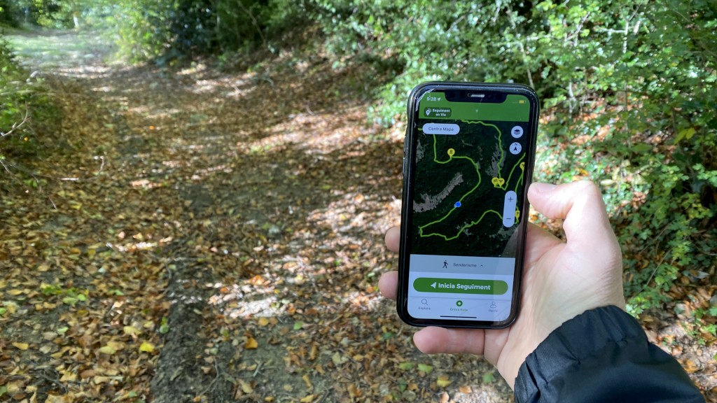
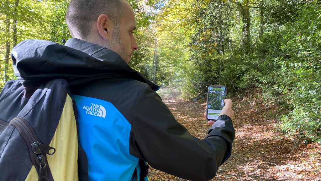
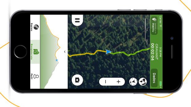
One of the most interesting features for route users is the possibility of being able to follow the Tourdera tracks with the free navigation system, recording the path they take while following the route itinerary. Once the section is finished, the user can save the route they have made, access the characteristics (distance, elevation gains, etc.), etc., or simply not save it. Here you can access the instructions on how to use the navigation system.
And if the user does not want to record the route, they can simply follow it easily, since at all times the device’s GPS situates them on the map with a blue dot, which moves as they advance, following the route on the map without any possibility of getting lost.
2 – Better visibility of the Tourdera profile
Being a Wikiloc ORG member allows you to obtain better visibility within the Community, appearing more prominently at the top of the Web and App search list for anyone interested in routes in the area.
3 – Access to more and better user statistics
From now on, we will be able to better analyze the community’s interest in your profile by analyzing aspects such as the origin of the platform’s users, among others. All these statistics should help us to better understand the route users in order to adapt and offer a better service.
4 – Own route map
Currently, the Tourdera profile has its own public route map, which all community users will be able to explore, without the interference of other routes from other users. This allows us to link specific Wikiloc maps, but only with the Tourdera tracks.
We hope to see you on Wikiloc and that you use some of our tracks with the free navigation system for Tourdera users!