
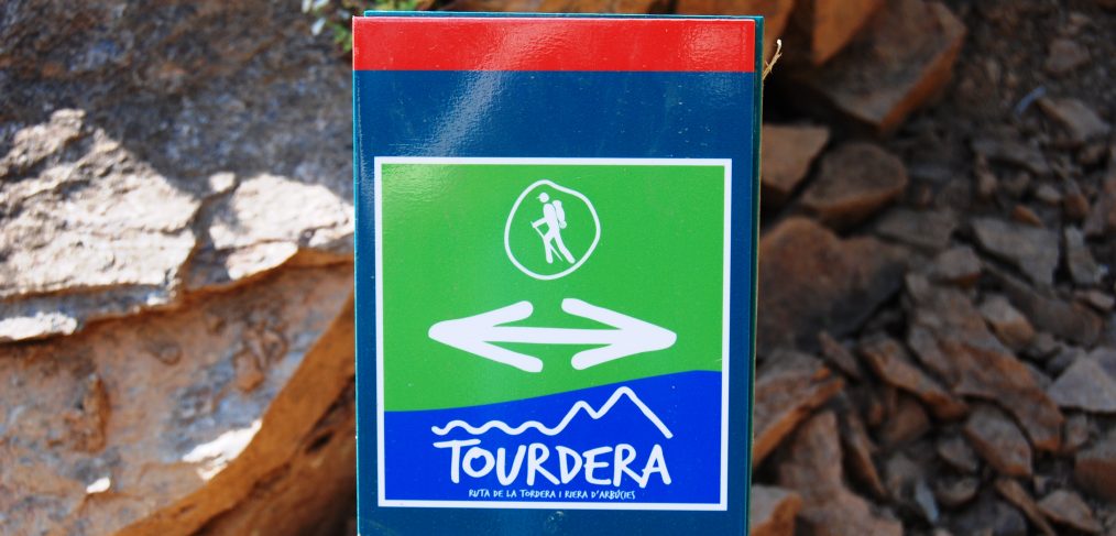
Great news! Since June, the first section of the Tordera route has been available, specifically from the source of the river at Font Bona in Sant Marçal, in the heart of the Montseny Natural Park, to the town of Montseny. So, if you don’t have any plans this summer, we suggest a fresh and pleasant getaway that will allow you to discover the source of the Tordera river.
Since last June, the Sant Marçal – Montseny section has been active, a section about 11 kilometers long, which involves overcoming a significant elevation gain, and has a difficulty level between moderate and very demanding, depending on whether you do it downhill or uphill.
Following the signs you will find throughout the itinerary, whether they are banners or trail markers, you will be able to do the route and enjoy a good walk through a natural and protected environment like the Montseny Natural Park, always without deviating from the marked path and respecting the local flora and fauna at all times. If you plan to do the route, we remind you that you will find exclusive variants for hikers, either because it passes through private properties where bicycles are not allowed, or because of the impact that wheeled traffic can have on the environment. For this reason, users interested in doing the route by bicycle should pay attention to the signs.
In the following two links you can consult the section information sheet, depending on whether you do it downhill or uphill, where you will find all the technical information:
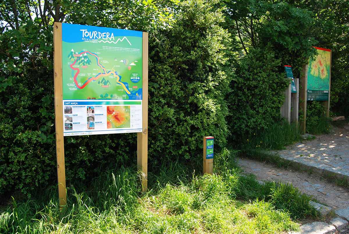
Route start panel at Coll de Sant Marçal
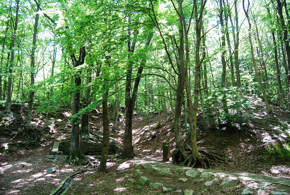
Font Bona, source of the Tordera, during spring
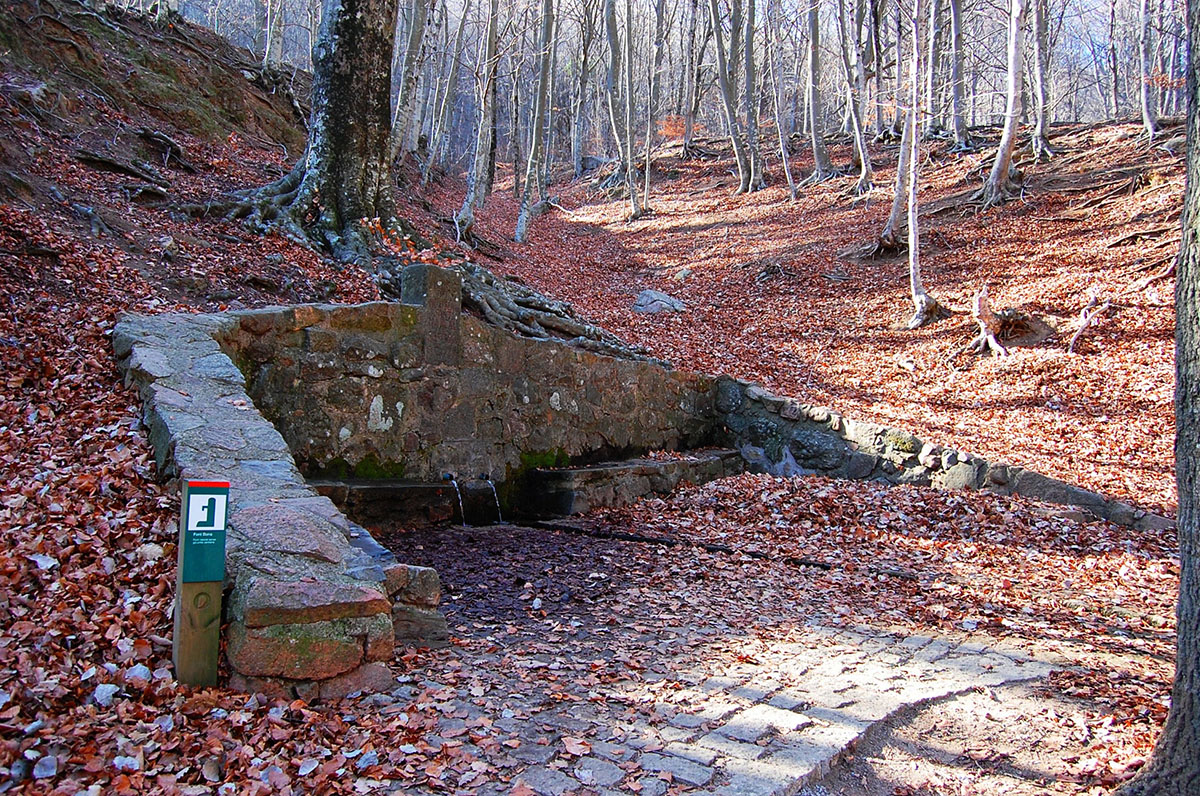
Font Bona, source of the Tordera, during winter
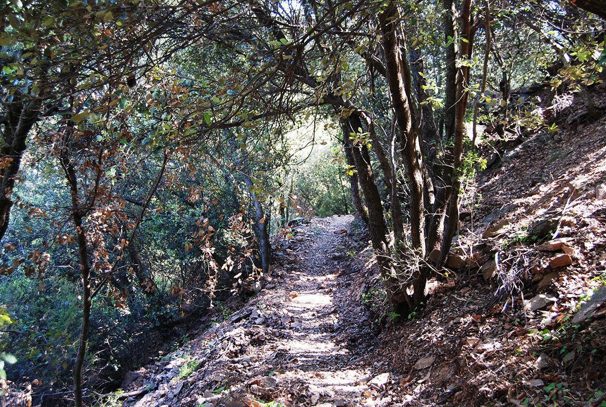
Section of the old road from Montseny d’Amunt to Sant Marçal recently recovered
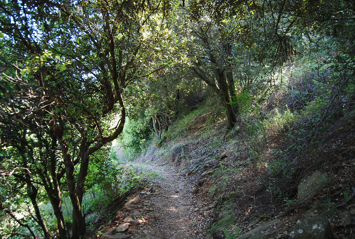
Section of the old road from Montseny d’Amunt to Sant Marçal recently recovered
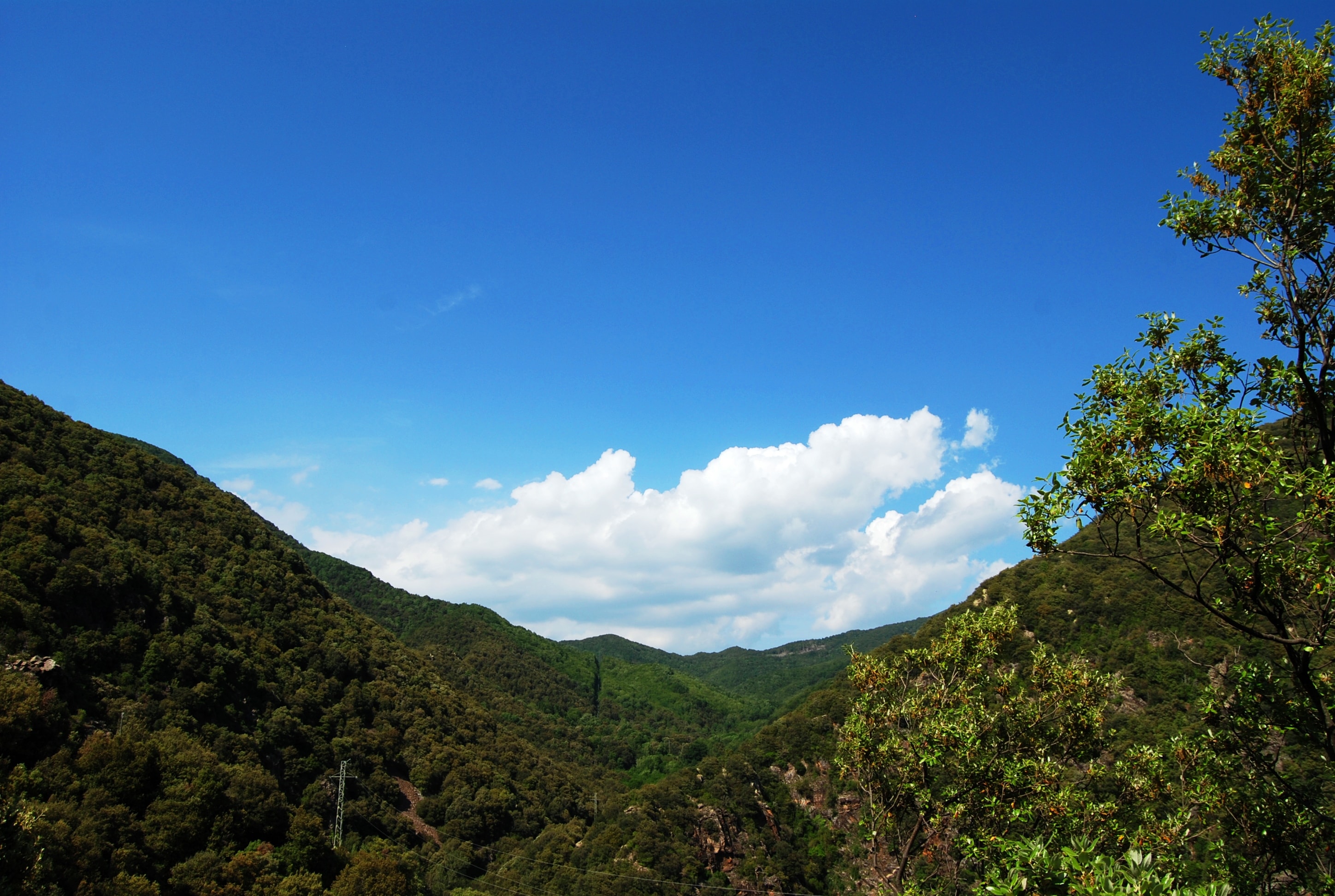
View of the Coll de Sant Marçal during the ascent, where the Tordera rises
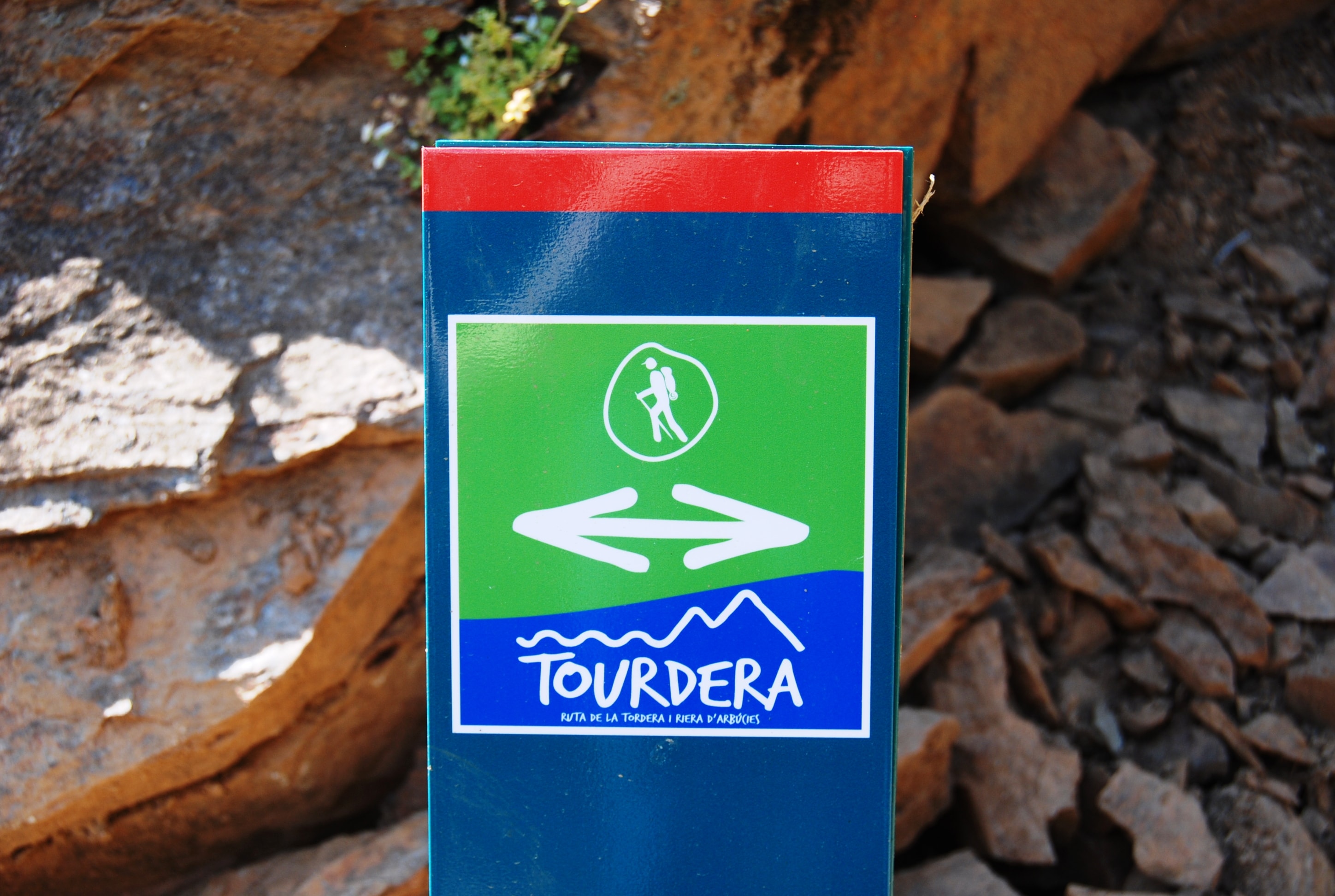
Route trail marker
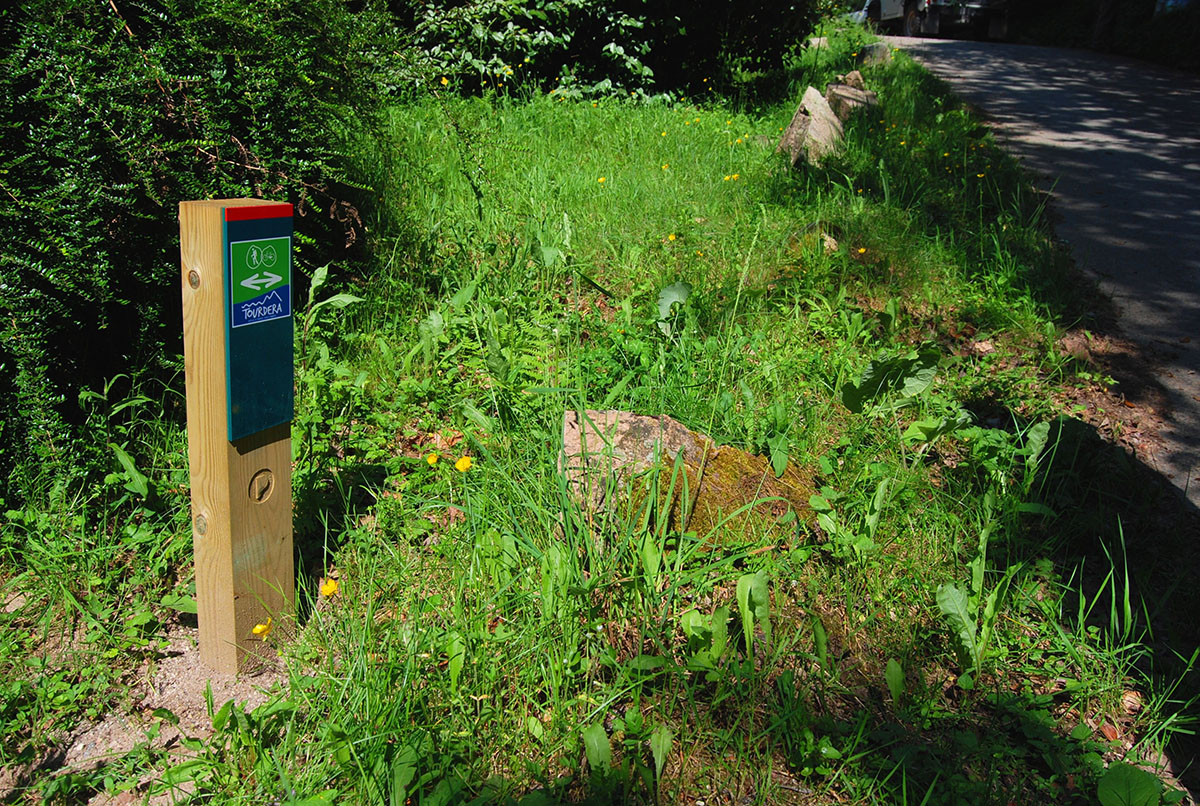
Route trail marker
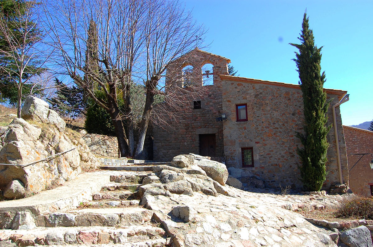
Sant Marçal
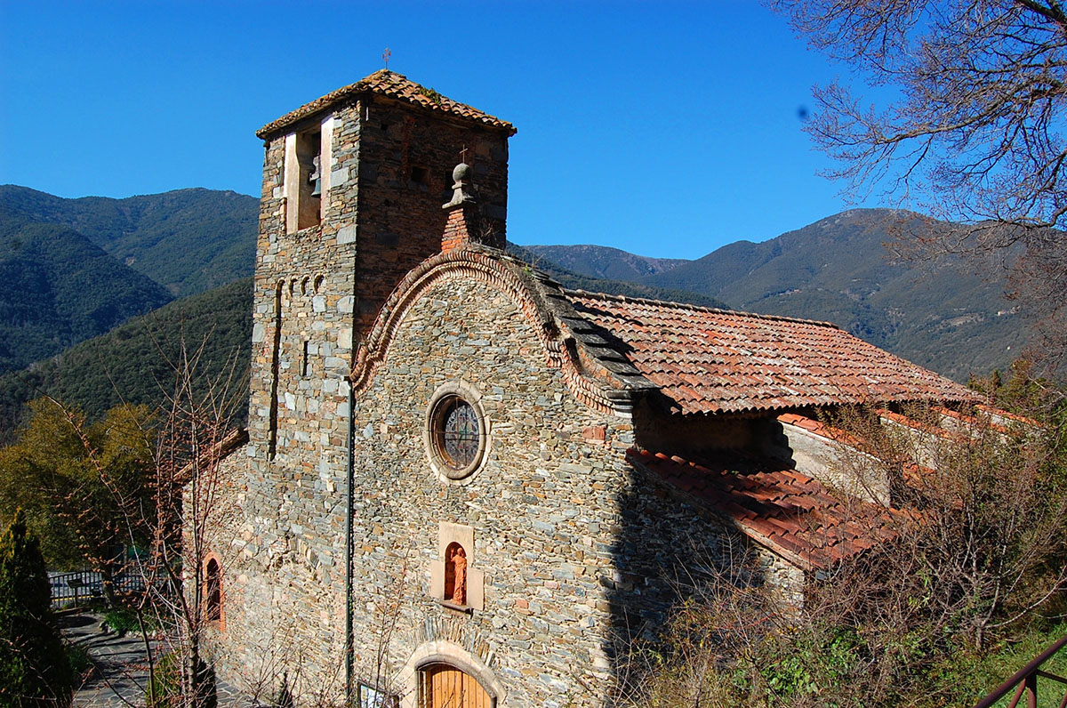
Sant Julià de Montseny



















