From the source to the mouth (Malgrat de Mar), along the Arbúcies stream
Route description
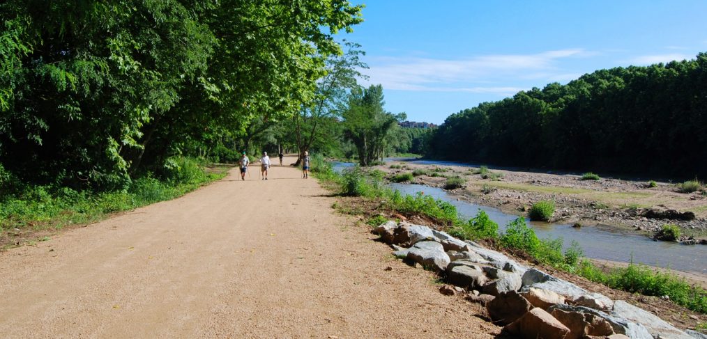
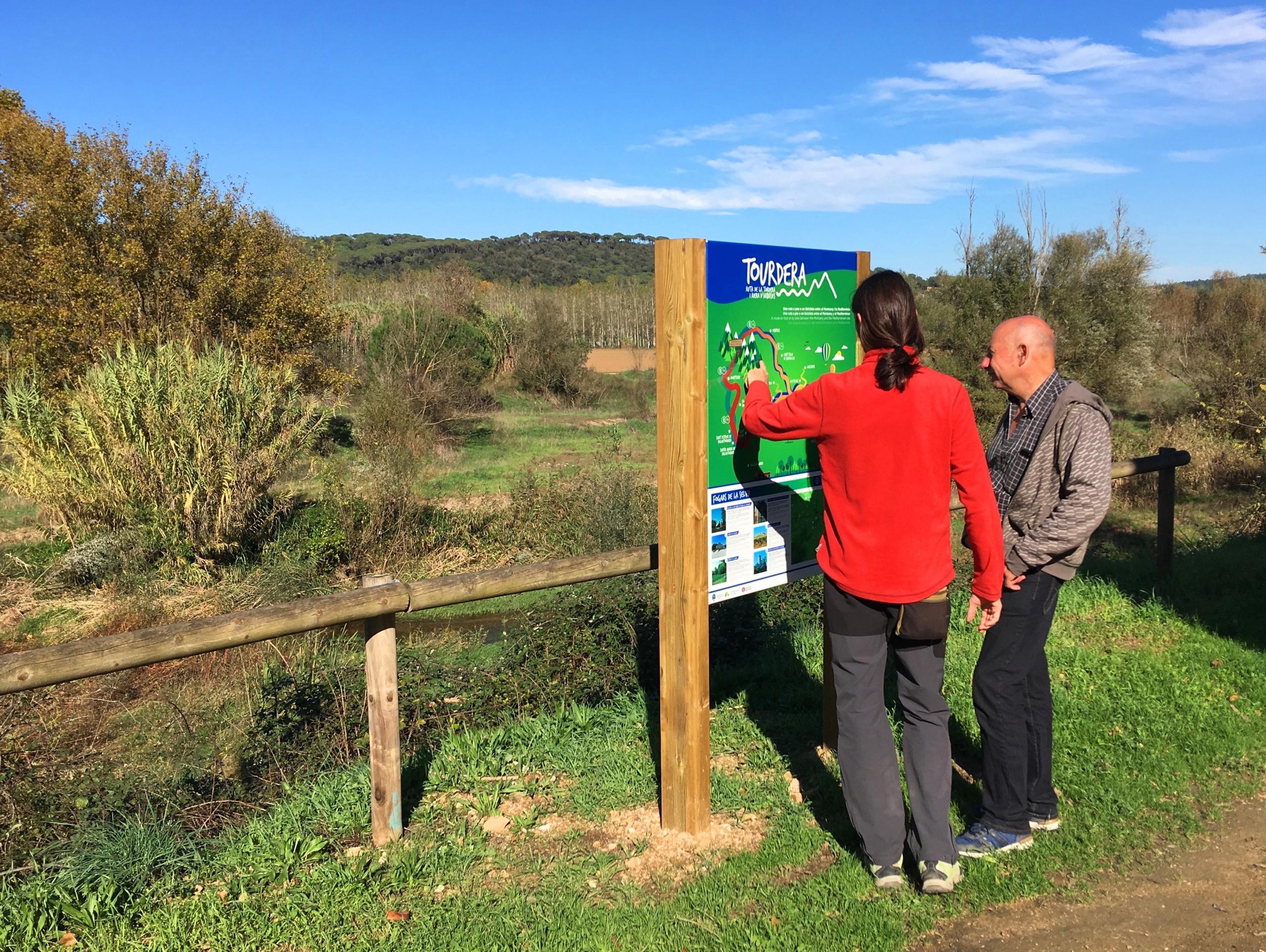
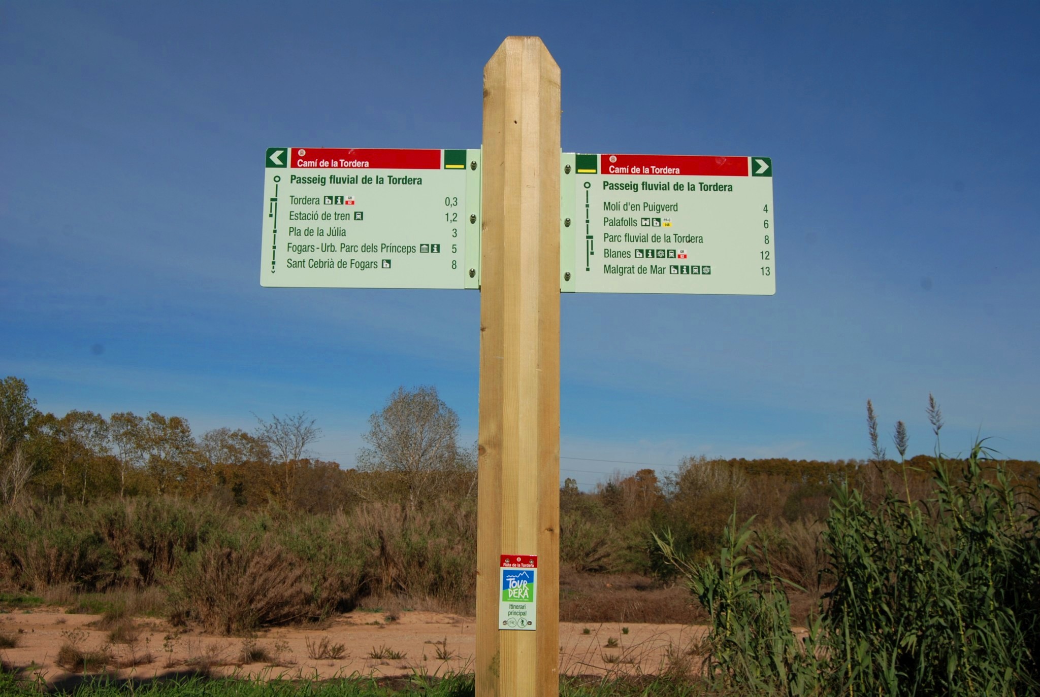
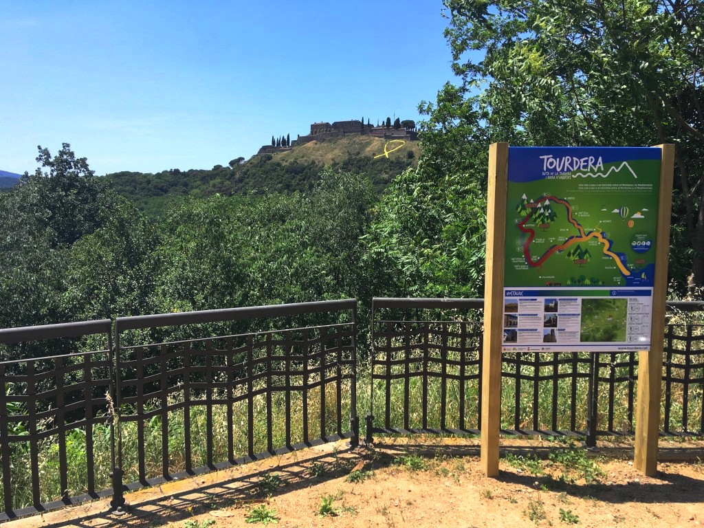
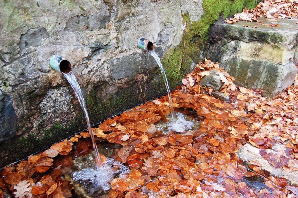
If you are interested in completing the entire Tordera route, from its source (Fountain Bona in Sant Marçal) to its mouth on the Malgrat de Mar side, via the Arbúcies Stream, you will find all the necessary information on this page.
Keep in mind that this is a long journey and that you must be physically prepared to face it, otherwise, it is better to choose the option of doing the route in sections.
Also keep in mind that the information provided is from the source to the mouth, that is, mainly with downhill gradients. If you want to do it from the mouth to the source, keep in mind that you must reverse the gradients that we provide, so you will mostly have uphill gradients throughout the route.
Option for cyclists
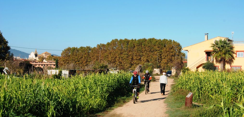
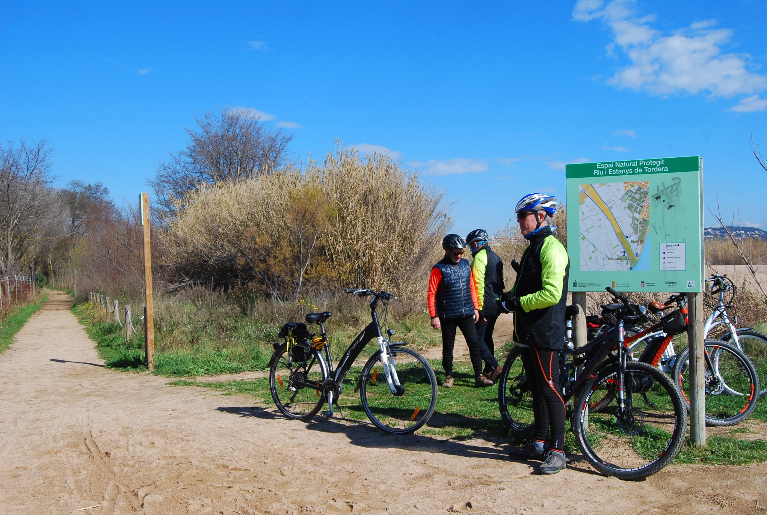
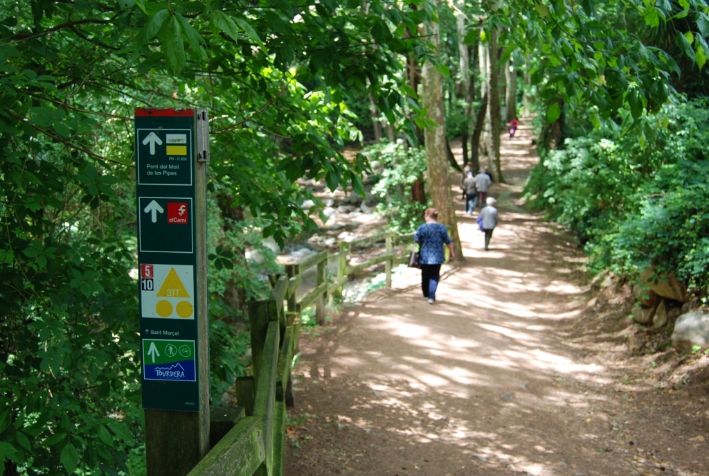
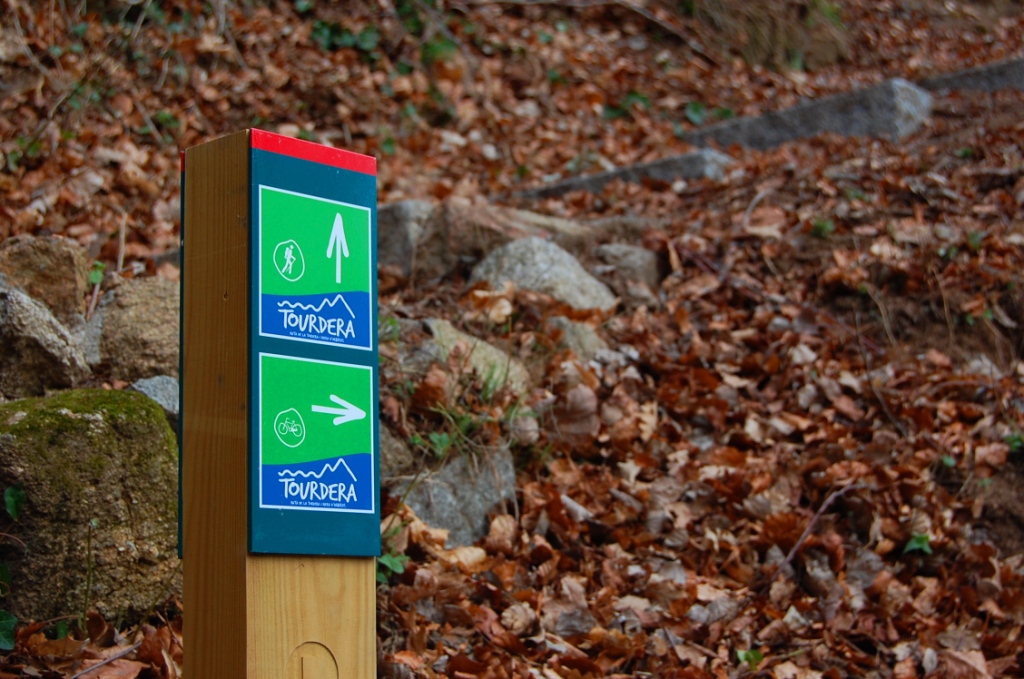
Remember that not all paths are cycleable, especially in the Montseny Natural Park, so if you want to do the route by bike you must use the bike tracks. In this case, the Tourdera route from the source to the mouth in Malgrat de Mar passing through the Arbúcies stream is approximately 64km, with a cumulative negative elevation gain (descent) of 1914m and a cumulative positive elevation gain (ascent) of 810m. Therefore, you must be well prepared physically if you want to do it in its entirety and, above all, read the safety recommendations and respect for the environment before doing it and plan in advance the stops you need to make, if you have to spend the night, etc.
Option for hikers
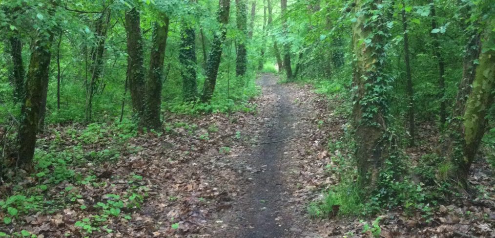
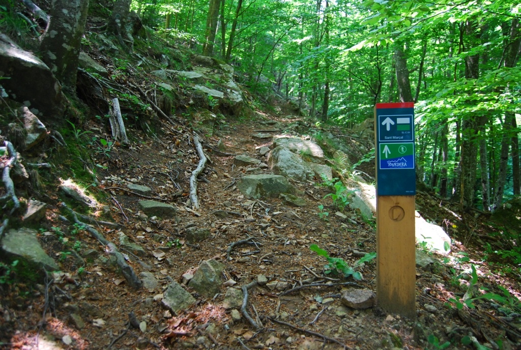
If you choose to do the entire route by hiking, also from the source to the mouth in Malgrat de Mar passing through the Arbúcies stream, you will find that you can use some variants on paths where bicycles cannot circulate (always signposted). In this case the route is approximately 58km, with a cumulative negative elevation gain (descent) of 1912m and a cumulative positive elevation gain (ascent) of 809m. Make sure you are physically well prepared if you do the entire route and, above all, read the safety and environmental protection recommendations beforehand.