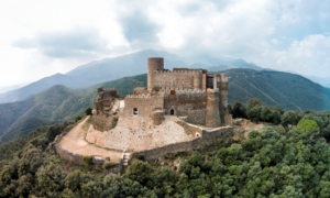
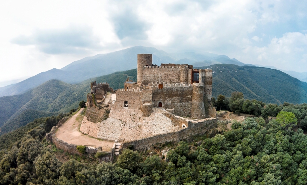
The section of the Tourdera between Montsoriu Castle and the village of Breda is an easy section, as the distance is between 5.5 km and 7.5 km (depending on whether you do it on foot or by bicycle), and the route is almost entirely downhill. Please note that the path differs slightly depending on whether you do it on foot or by bike, as the first metres follow a path through the forest if you are walking, or a forest track if you are cycling. Cyclists should bear in mind that they will need a suitable bicycle, either MTB or gravel. At the end of the section, once in the town of Breda, you will find a wide range of cultural attractions and services in a town with a pottery tradition and interesting heritage. Please note, however, that at the start of the route, at Montsoriu Castle, parking is only available at the lower part of the hill, so you will need to go up to the castle on foot or by bicycle. It is also highly recommended that you set aside time for a guided visit to the castle before starting the descent towards Breda (for more information, please check the castle website), but if you do so, remember to take this into account when planning your route and timings.
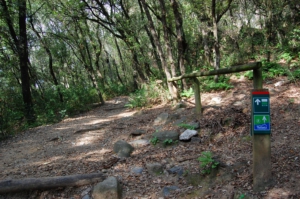
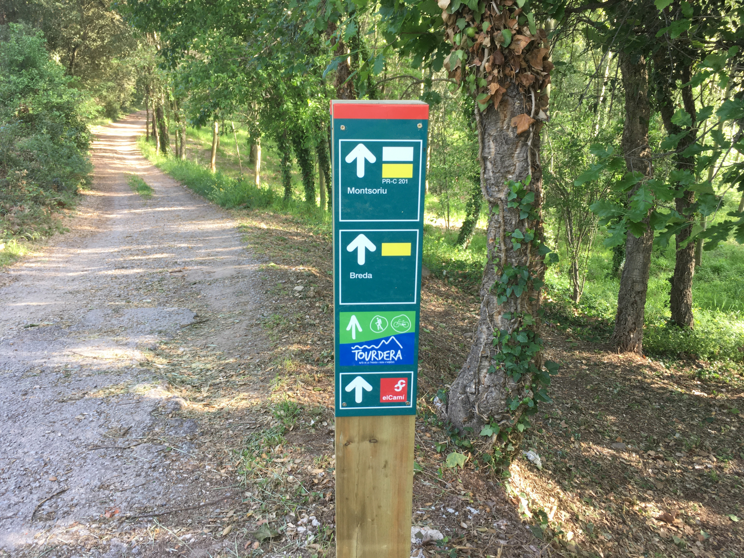
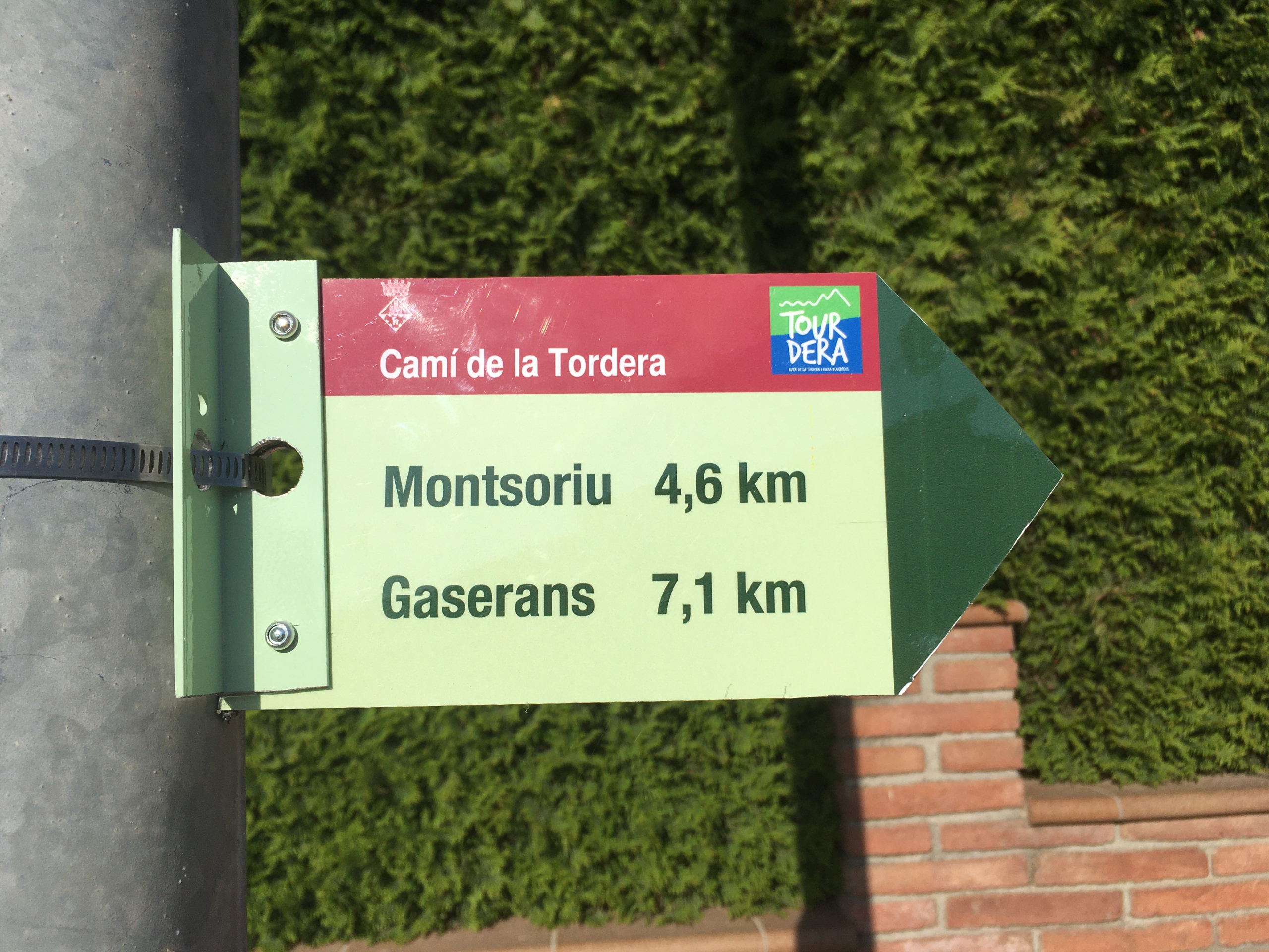
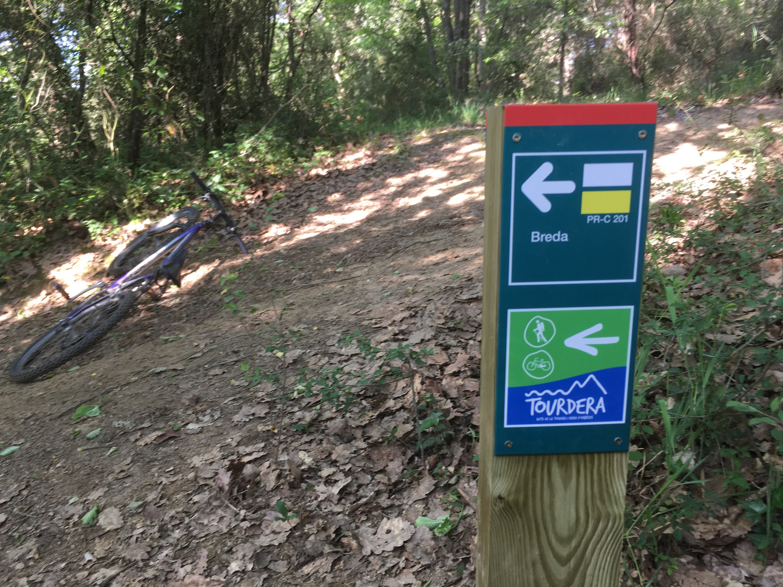
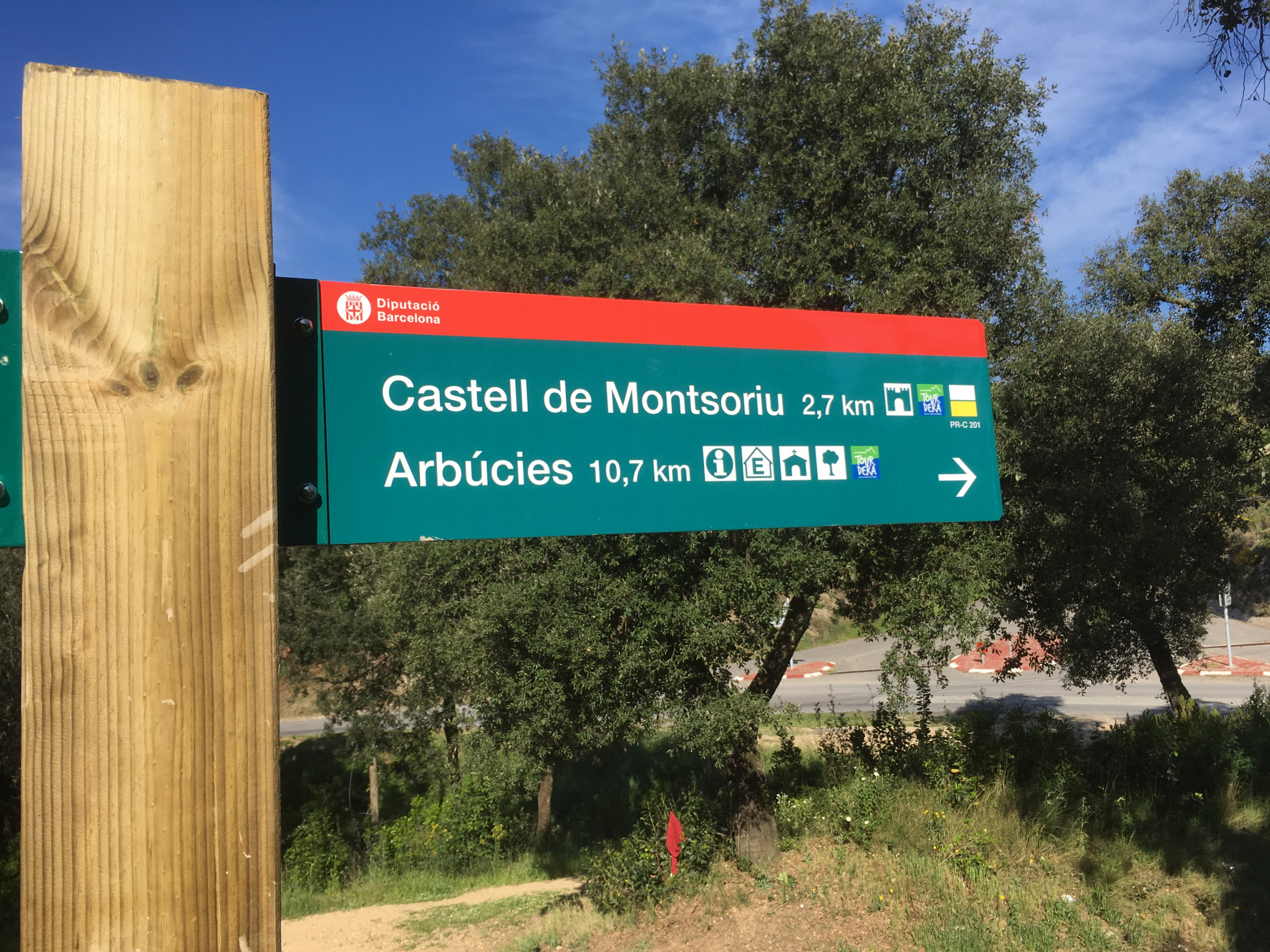
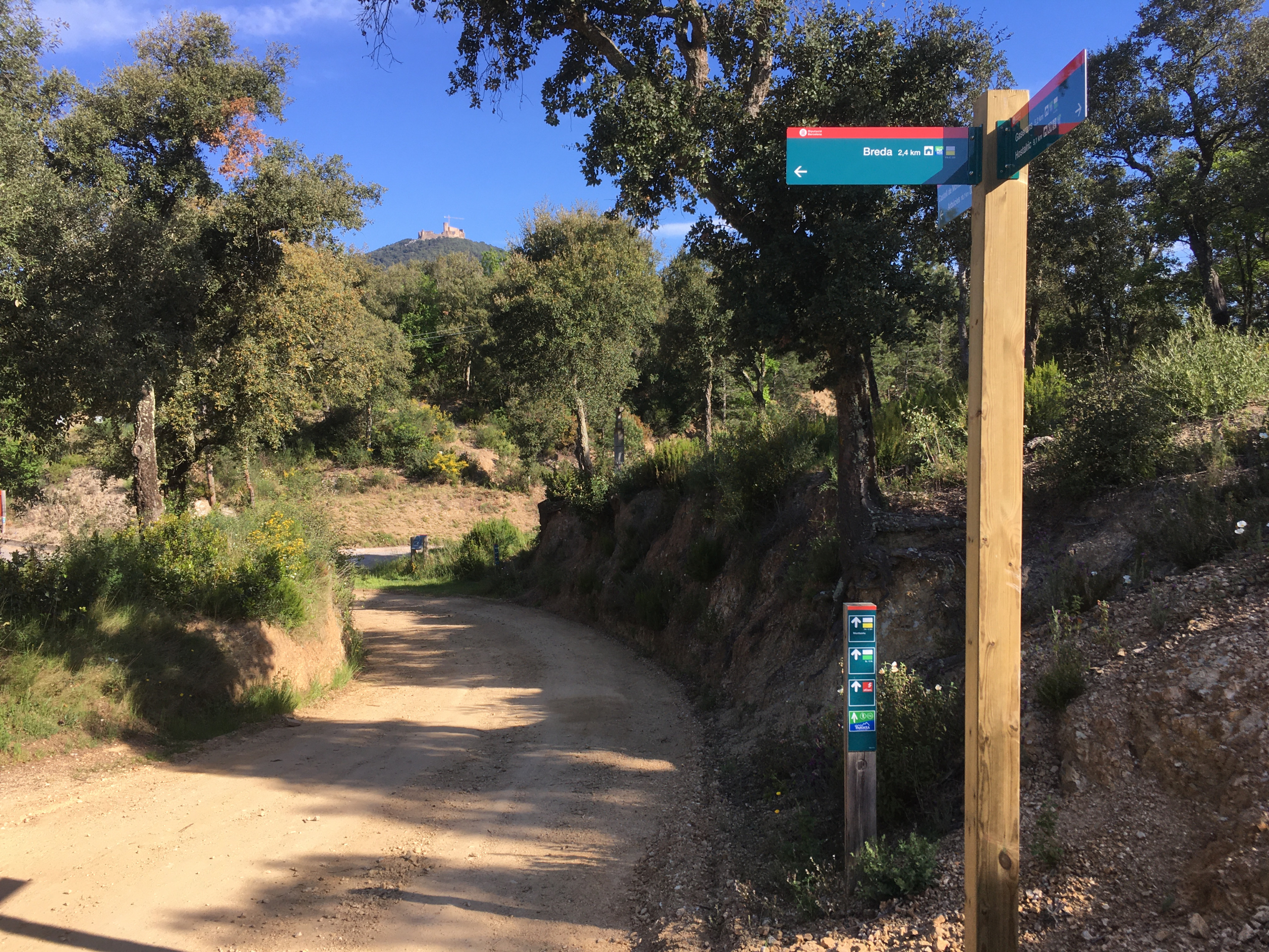
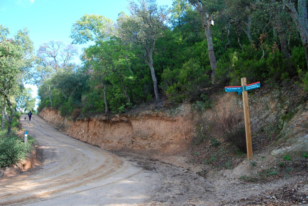
To follow the route, simply pay attention to the route signage, where you will always see the characteristic blue and green image, especially on the route markers used by the Natural Parks network. Finally, remember that you will be in a natural environment within Montseny Natural Park, and you should always avoid leaving the signposted path and respect the local flora and fauna at all times.
Cycling variant
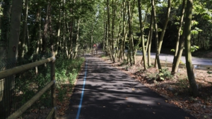
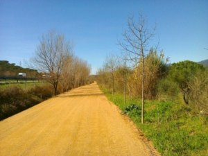
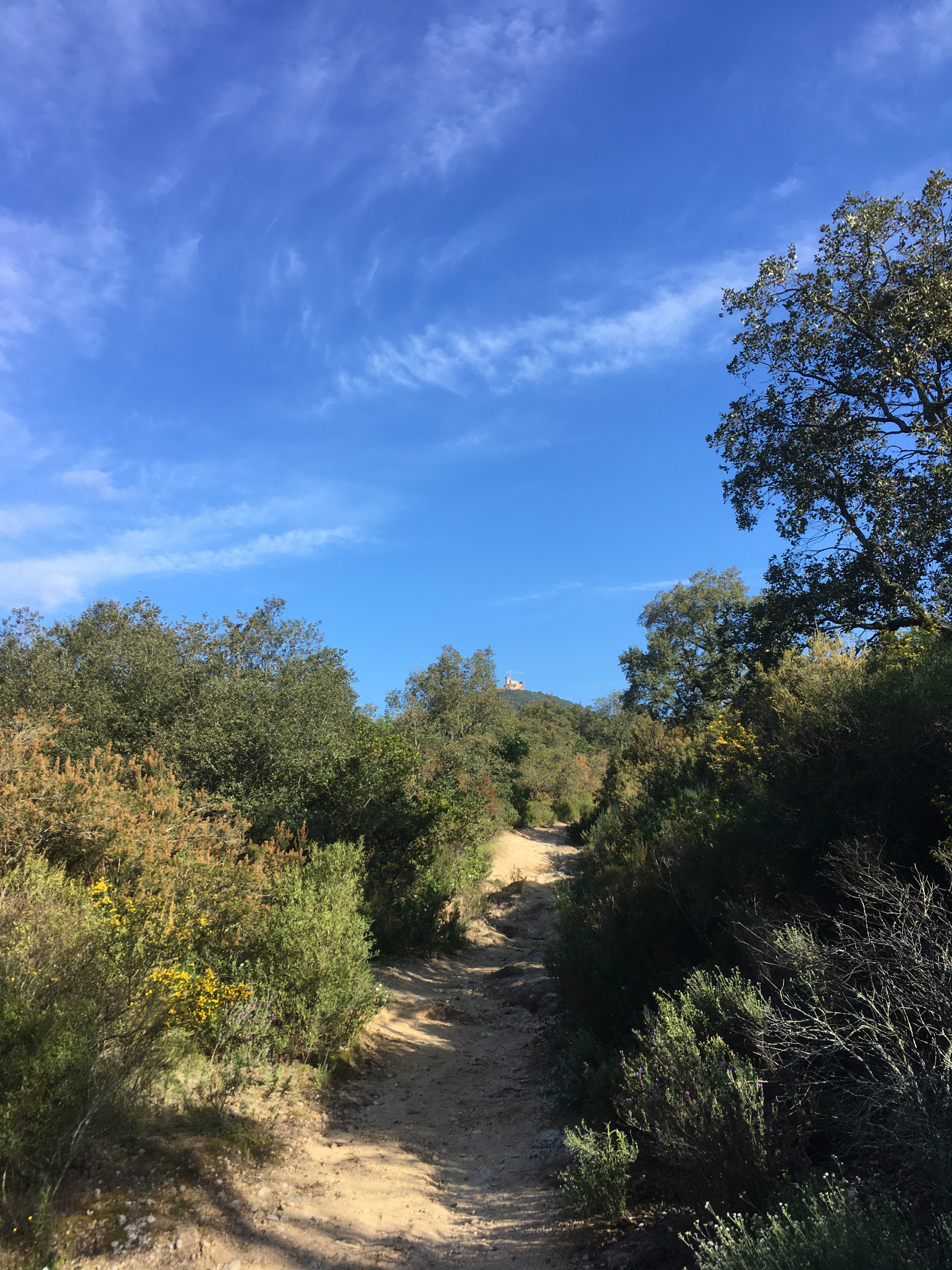
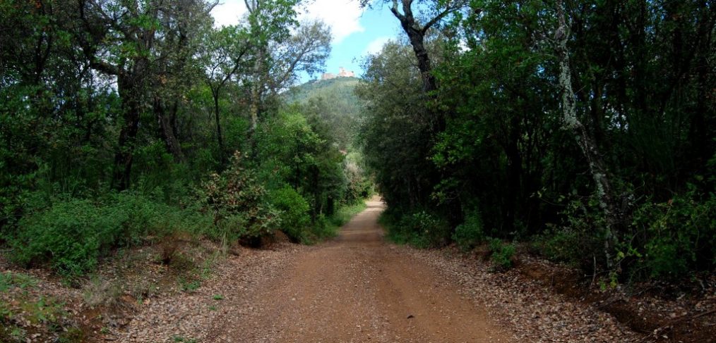
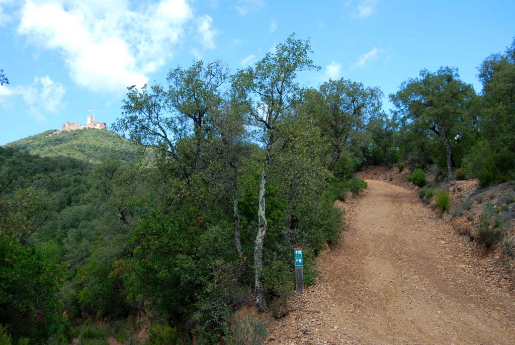
Almost this entire route section is shared between hikers and cyclists, except for the initial part of the section as it leaves Montsoriu Castle. The section begins at the information panel located in front of the castle, but before starting, we recommend taking a guided tour of this important monument of Catalan Gothic architecture (for more information, please check the castle website) and enjoying the panoramic views of the area. To continue the route, you will need to take the forest track that descends the hill until, before reaching the Fogueres de Montsoriu road, you take another forest track indicated by the vertical signage. From this point onwards, the entire route follows forest tracks as far as Coll de n’Orri, always downhill, through a very peaceful and pleasant Mediterranean woodland setting. From Coll de n’Orri, you will descend directly towards Breda, this time along narrower tracks that may be slightly more slippery and difficult in some sections. For this reason, we recommend using an MTB or, at least, a gravel bike. Once in Breda, you will find a wide range of activities to enjoy, including museums (Museu Aragay de la ceràmica), religious architecture (Sant Salvador Monastery), restaurants and more.
Hiking variant
As with users following the section by bicycle, the route begins at the information panel located in front of the castle. Before setting off, however, we recommend taking a guided tour of this important monument of Catalan Gothic architecture (for more information, please check the castle website) and enjoying the panoramic views of the area. To continue the route, you will see that less than 100 m from the information panel there is a wayfinding sign indicating the route to follow along a path that goes around the castle. This path will take you downhill through the forest until you meet again with the track used by cyclists, which will then take you to Coll de n’Orri. The entire section is downhill, through a very peaceful and pleasant Mediterranean woodland setting. From Coll de n’Orri, you will descend directly towards Breda, where you will find a wide range of activities to enjoy, including museums (Aragay Ceramic Museum), religious architecture (Sant Salvador Monastery), restaurants and more.