More information about this section…
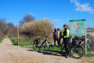
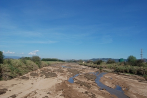
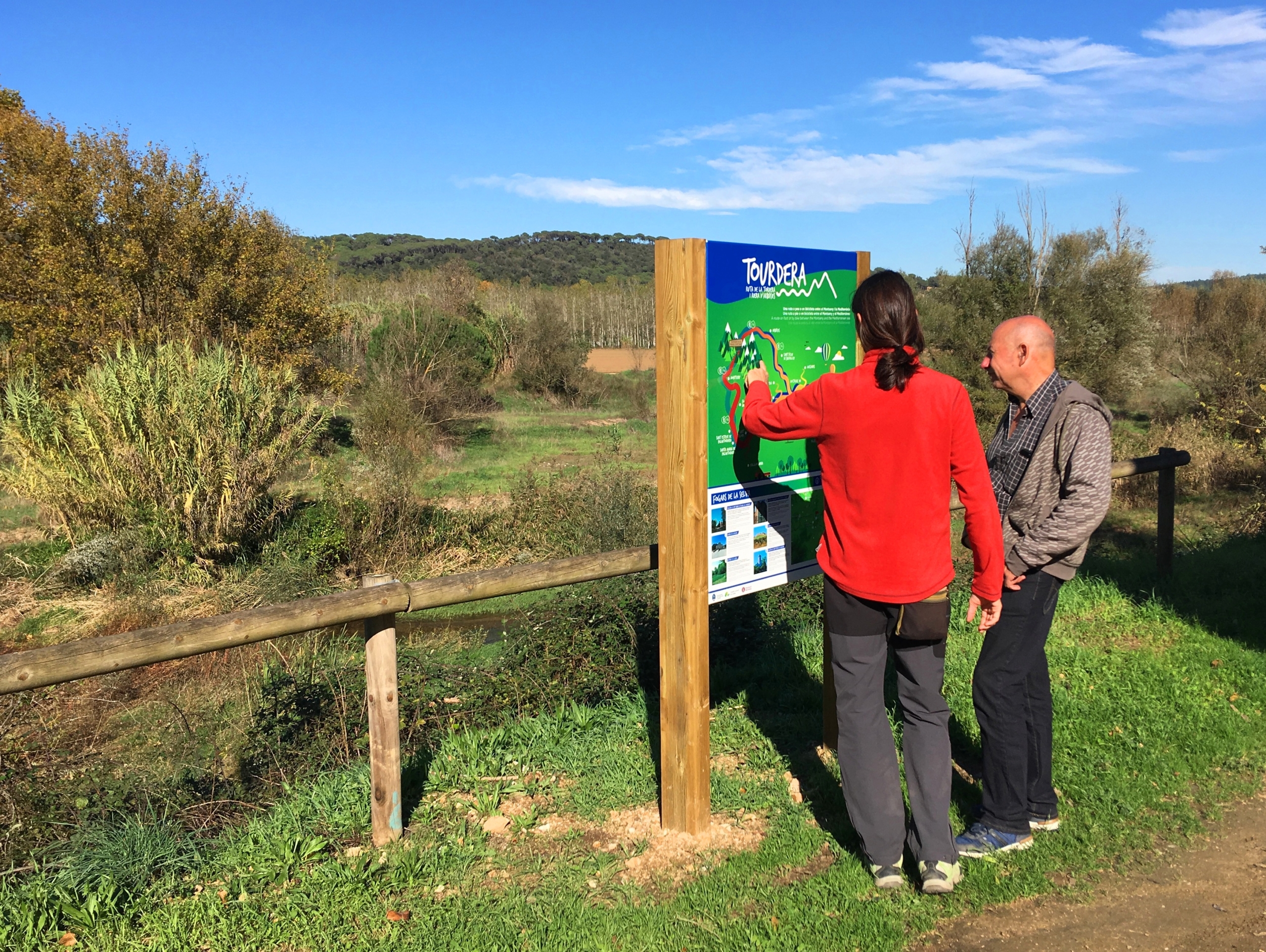
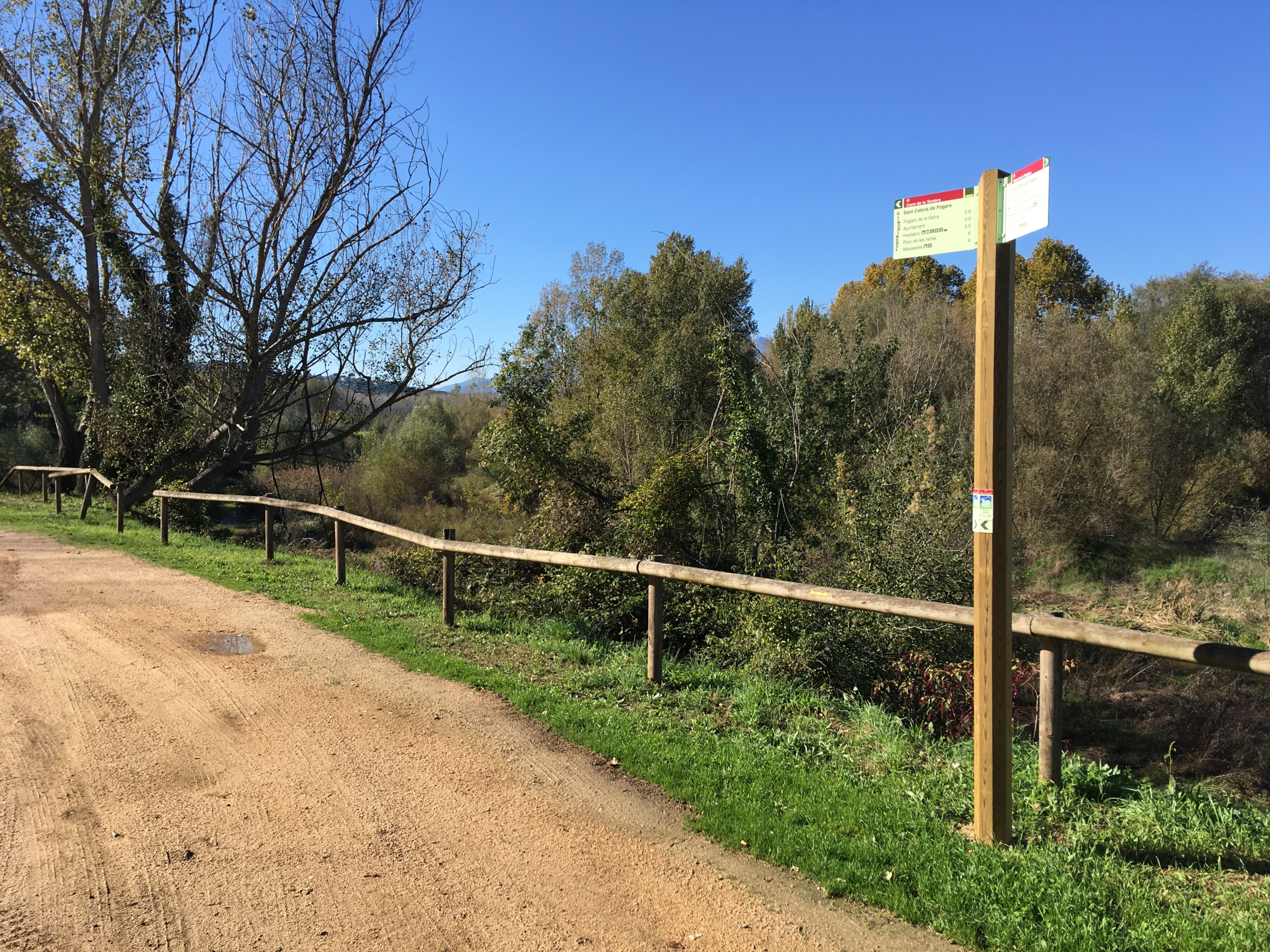
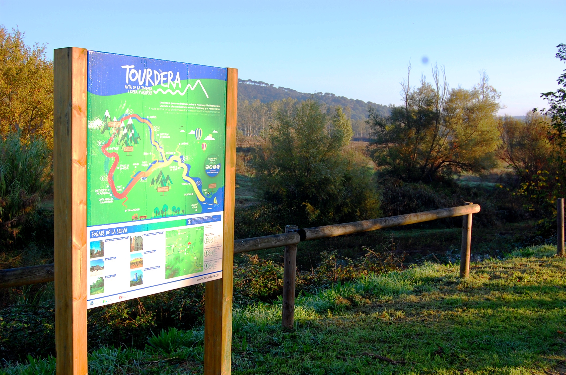
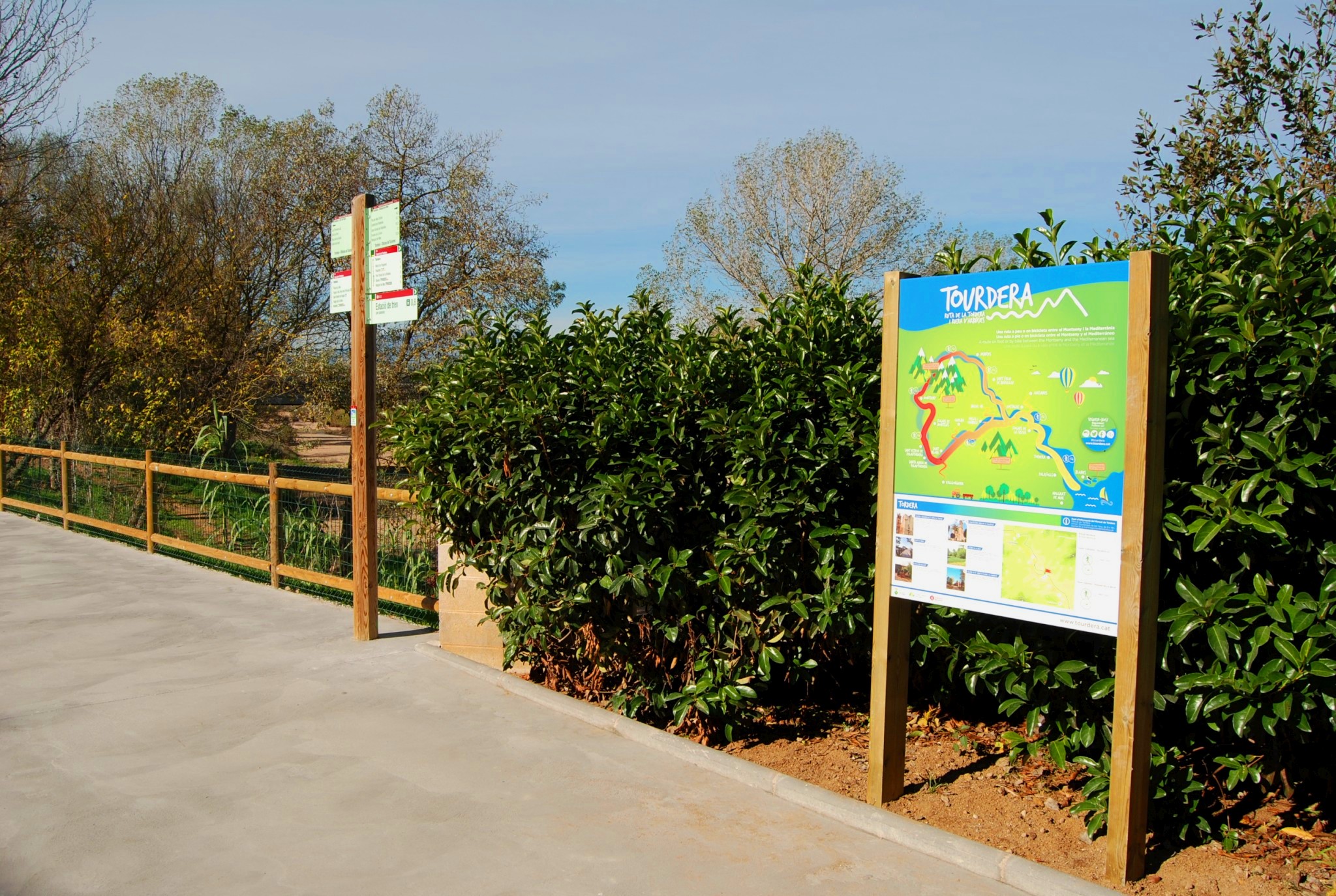
The section of the Tourdera route between Fogars de la Selva and Tordera is shared by walkers and cyclists throughout. It is approximately 7.3 kilometres long, with a total ascent of 64 metres and an overall easy difficulty level. The route begins directly in front of the church of Sant Cebrià de Fogars, where parking is available. Here you will find a directional signpost and a Tourdera information panel. Take the track behind the church and follow the course of the River Tordera.
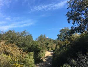
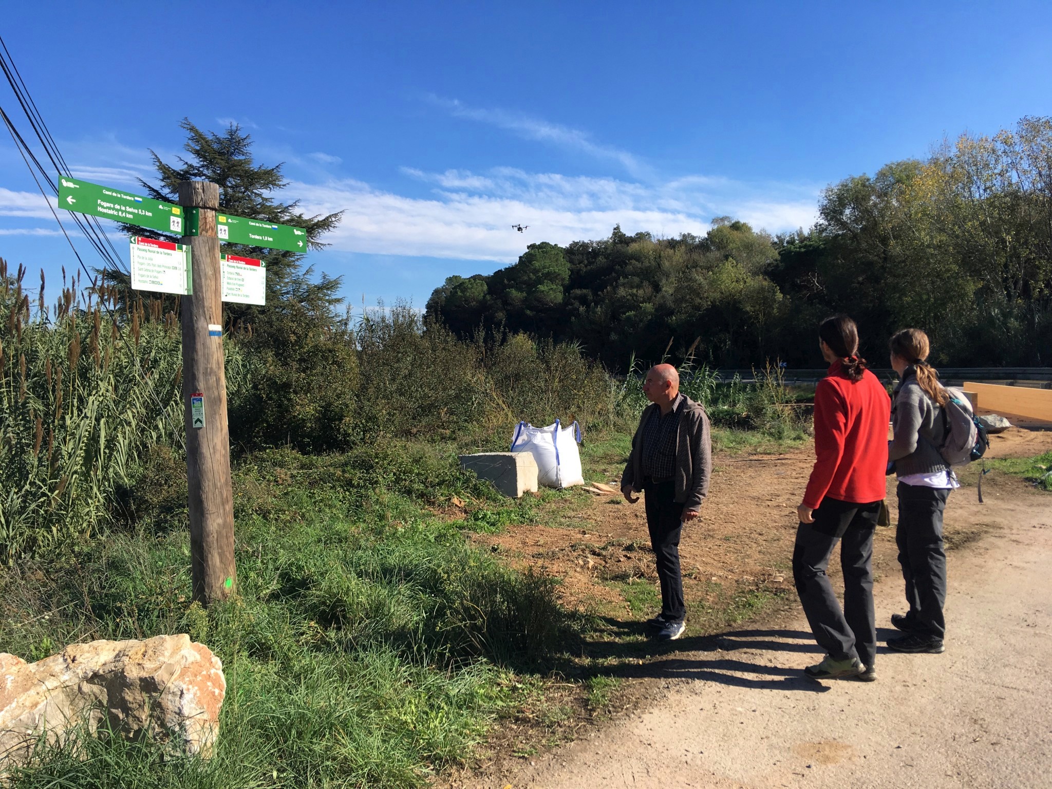
For the first 700 metres, the forest track enters the Mediterranean woodland of Can Simó Hill, where the earliest settlements in Fogars were established. This section has the greatest elevation change. After crossing the hill, follow the old road from Fogars to Tordera, which runs parallel to the Parc dels Prínceps residential area. At this point, a vertical signpost indicates a detour to the Farming Museum, approximately 1,400 metres away. The museum features a recreation of a traditional Catalan farmhouse and an exhibition of farming tools.
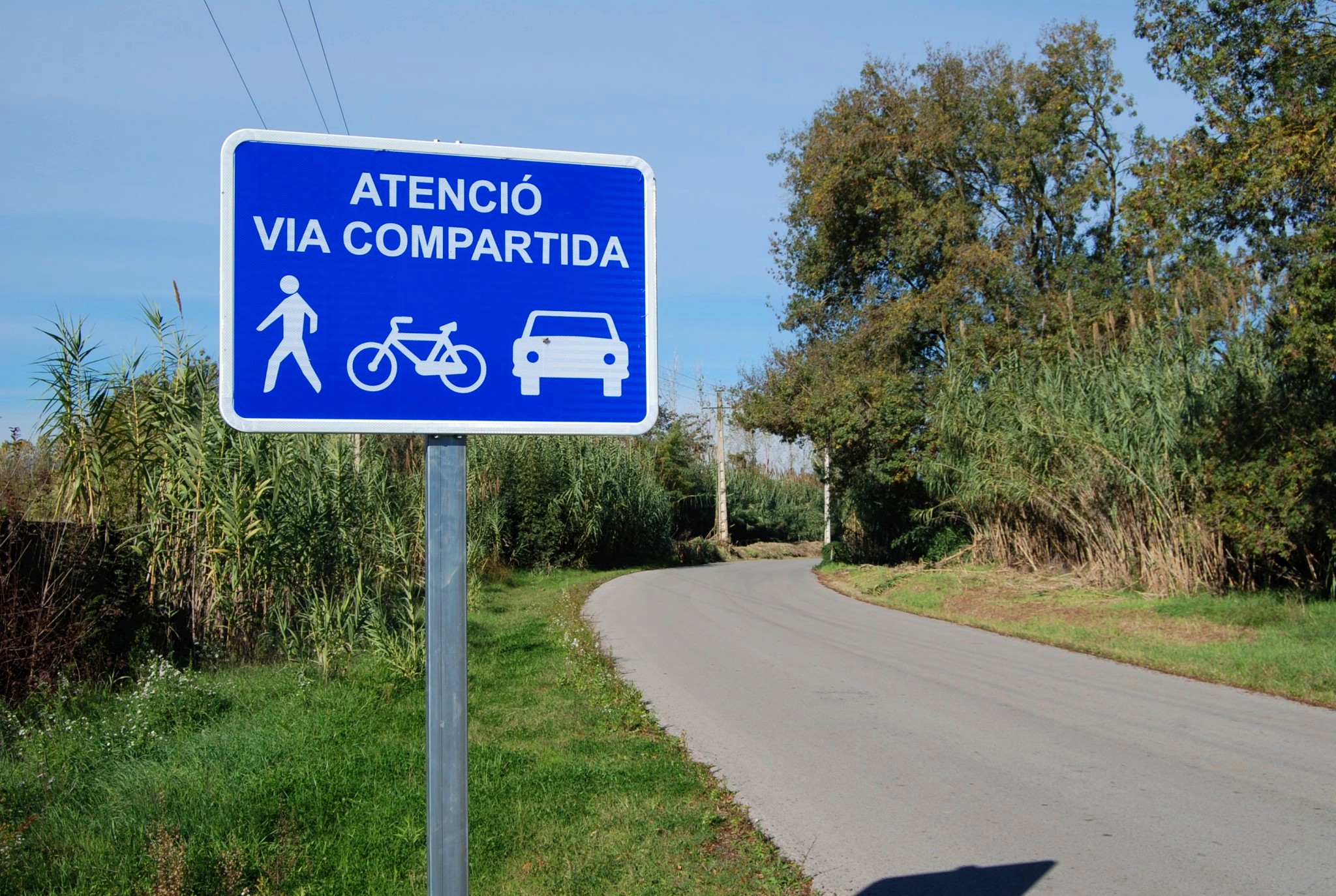
If you continue towards Tordera, the route follows a compacted-gravel verge beside the paved road for approximately one kilometre, after which the two converge. Although shared with vehicles, this road carries little traffic and has been equipped with speed-reduction strips and signs warning that it is shared by motorists, walkers and cyclists. Along this section, you will pass through the Júlia Plain, where the Júlia Pond is located, a small wetland included in the PEIN network of protected natural areas.
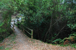
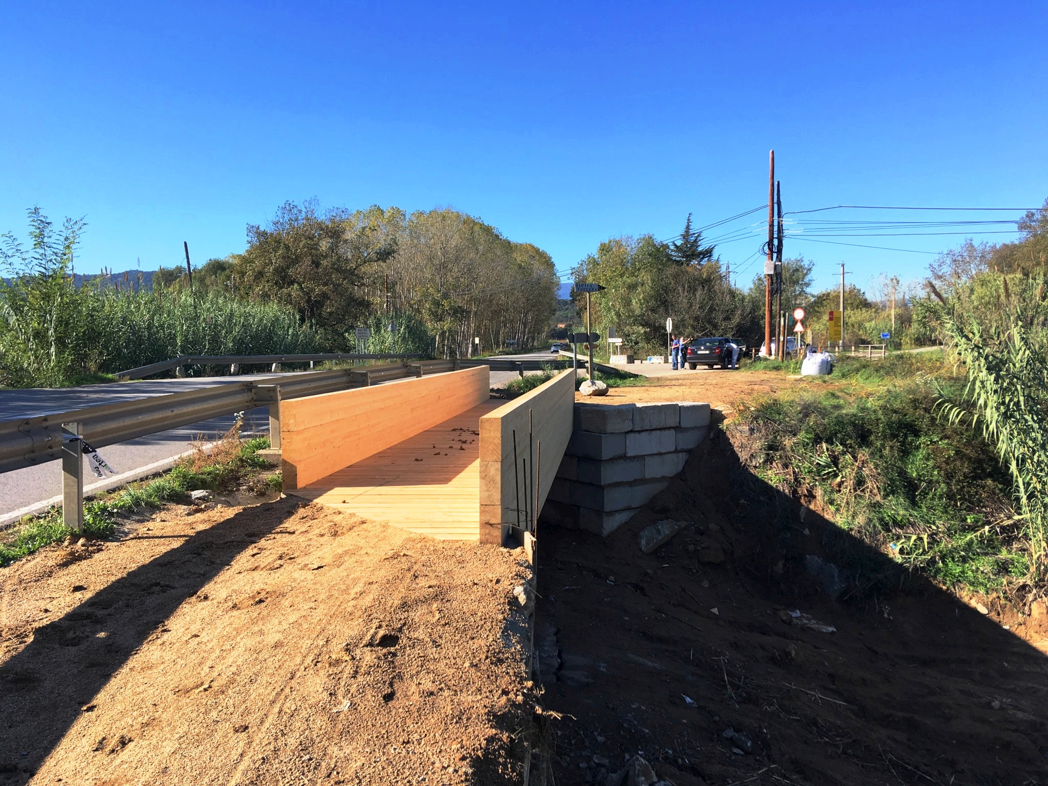
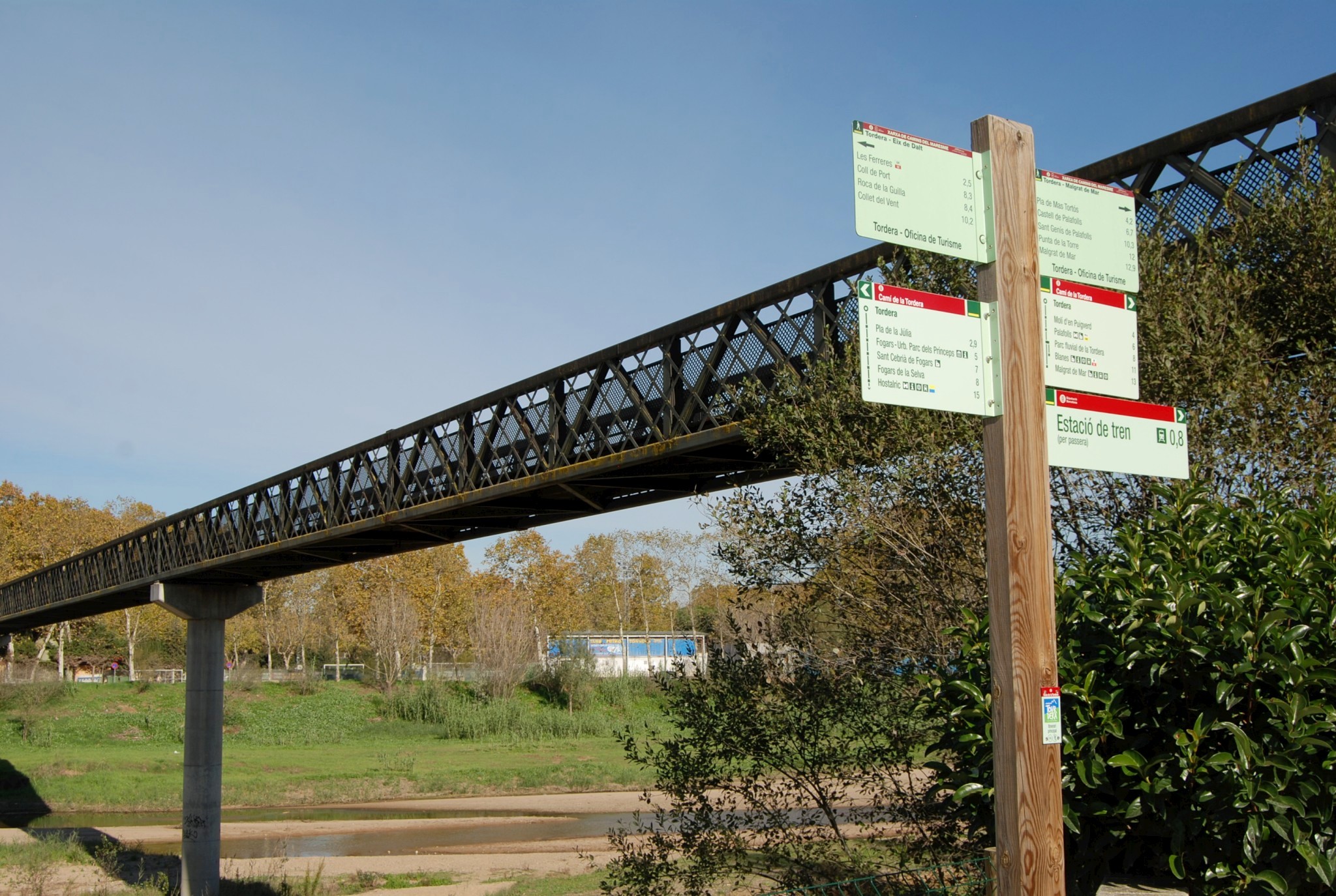
At the end of the old road from Fogars to Tordera, where it meets the BV-5122, the route crosses a wooden footbridge connecting with the Tordera riverside promenade. From here to the town of Tordera, the route is completely separated from traffic and follows the river. Several rest areas with tables can be found along the promenade. If you visit on a Sunday, you can also explore the well-known Tordera market, which attracts large numbers of visitors every week. For excellent views over the Tordera, climb onto the Iron Bridge, an emblematic footbridge located at the end of the route, where you will also find an information panel.