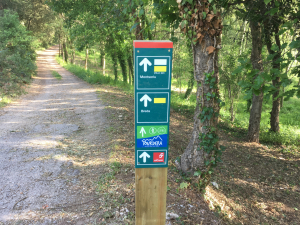
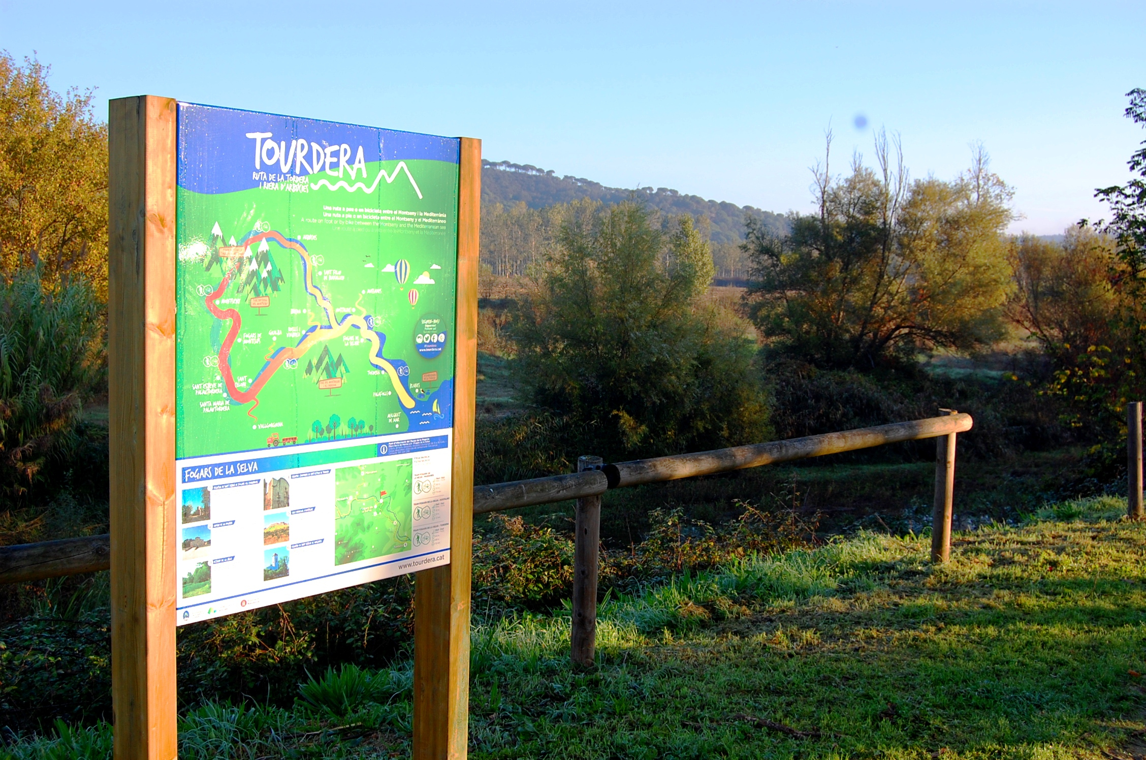
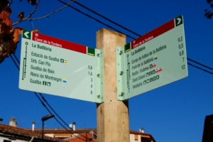
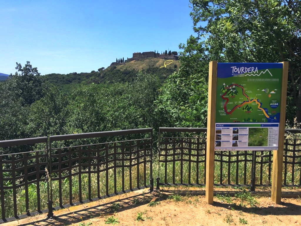
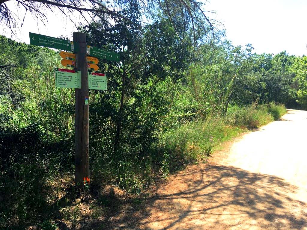
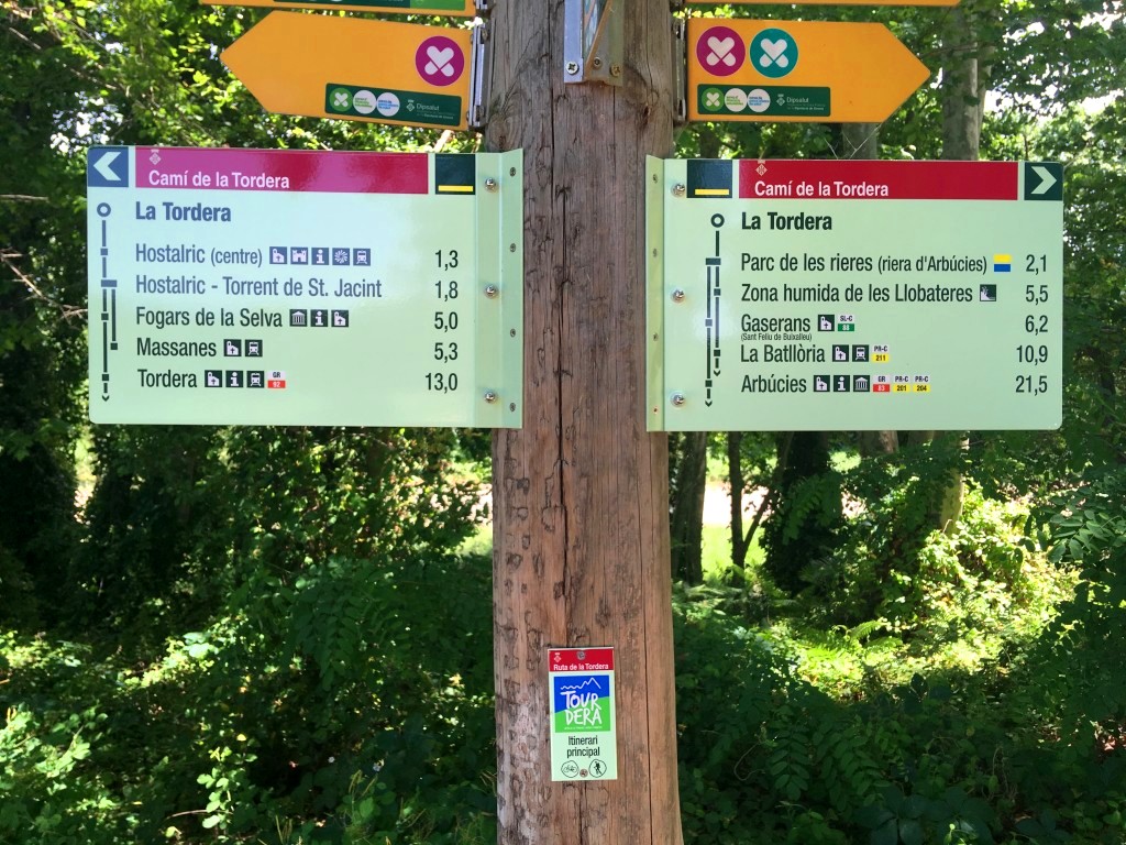
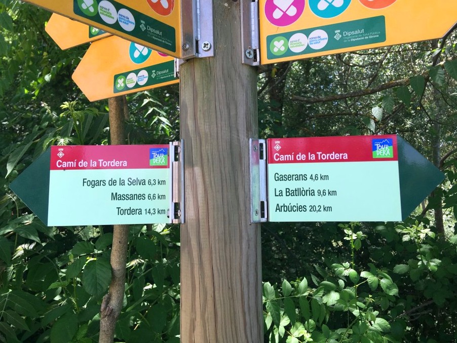
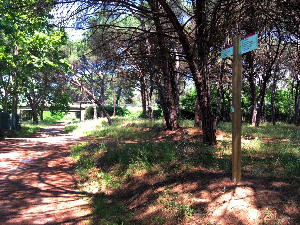
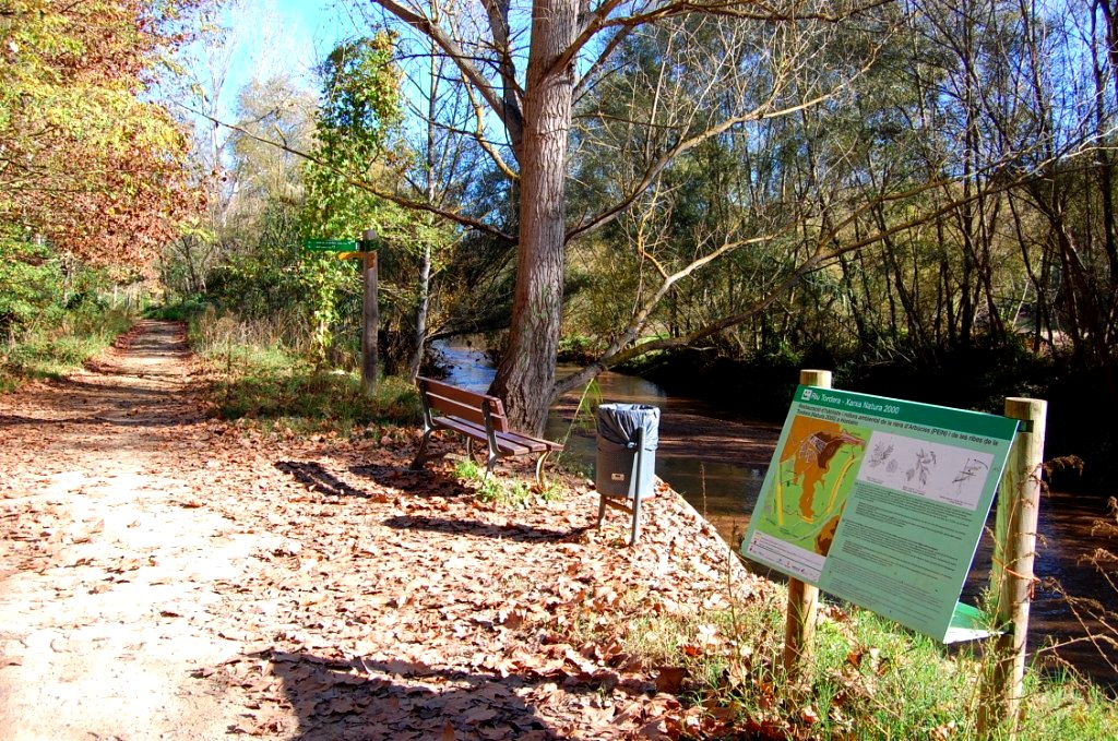
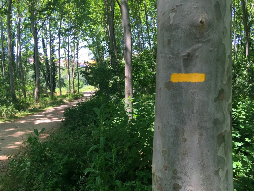
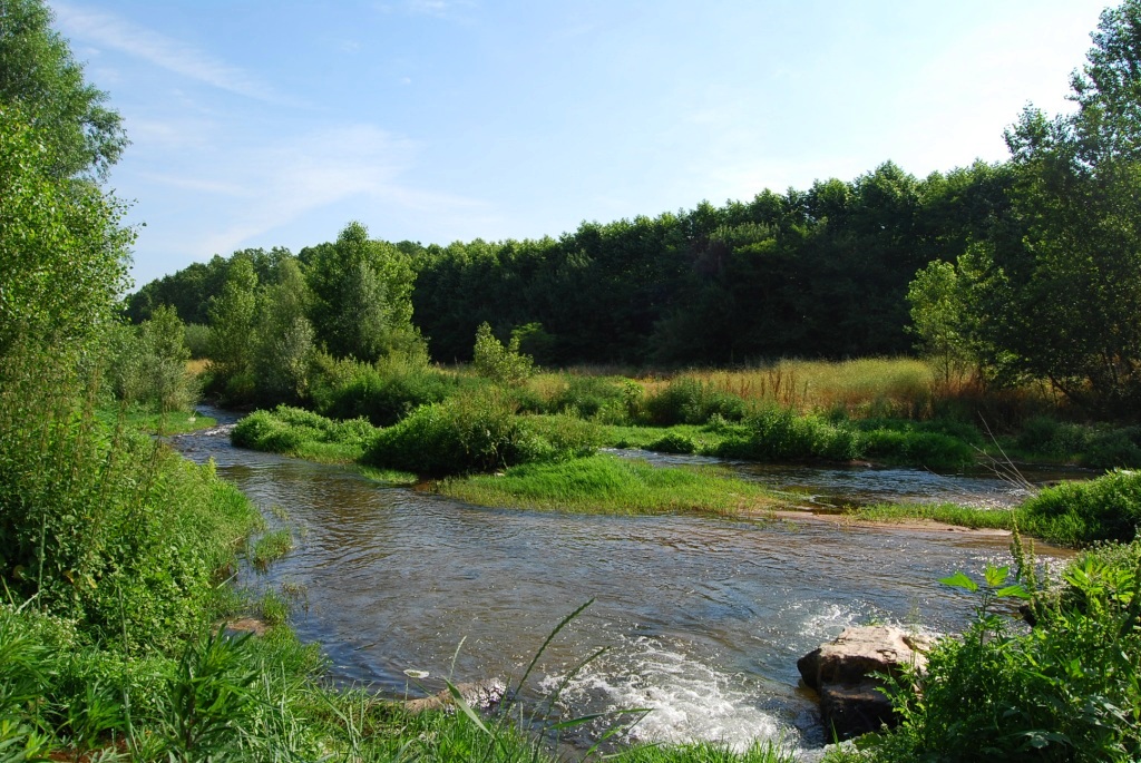
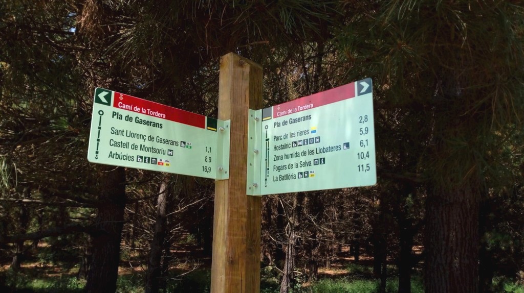
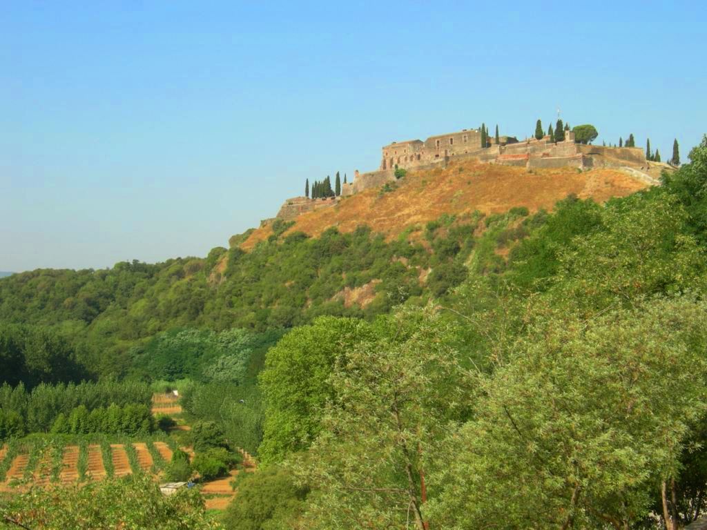
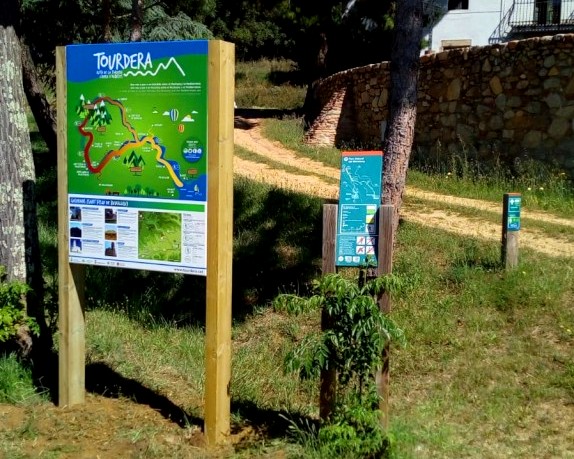
The Tourdera section between Gaserans and Hostalric is an easy walk of almost 7 kilometres in length, with only 26 m of ascent. It is therefore a very easy section that allows you to discover the lower course of the Arbúcies stream and reach the medieval town of Hostalric, with its fortress forming the backdrop. The route begins at the information panel located at the church of Sant Llorenç de Gaserans, where parking is available if you arrive by car. Please note that there are no services in the surrounding area, so you should come well prepared for the route. From the church, heading towards the road, you will find Tourdera signs, wayfinding markers and yellow painted trail marks that will accompany you all the way to Hostalric.
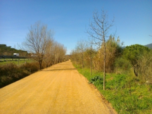
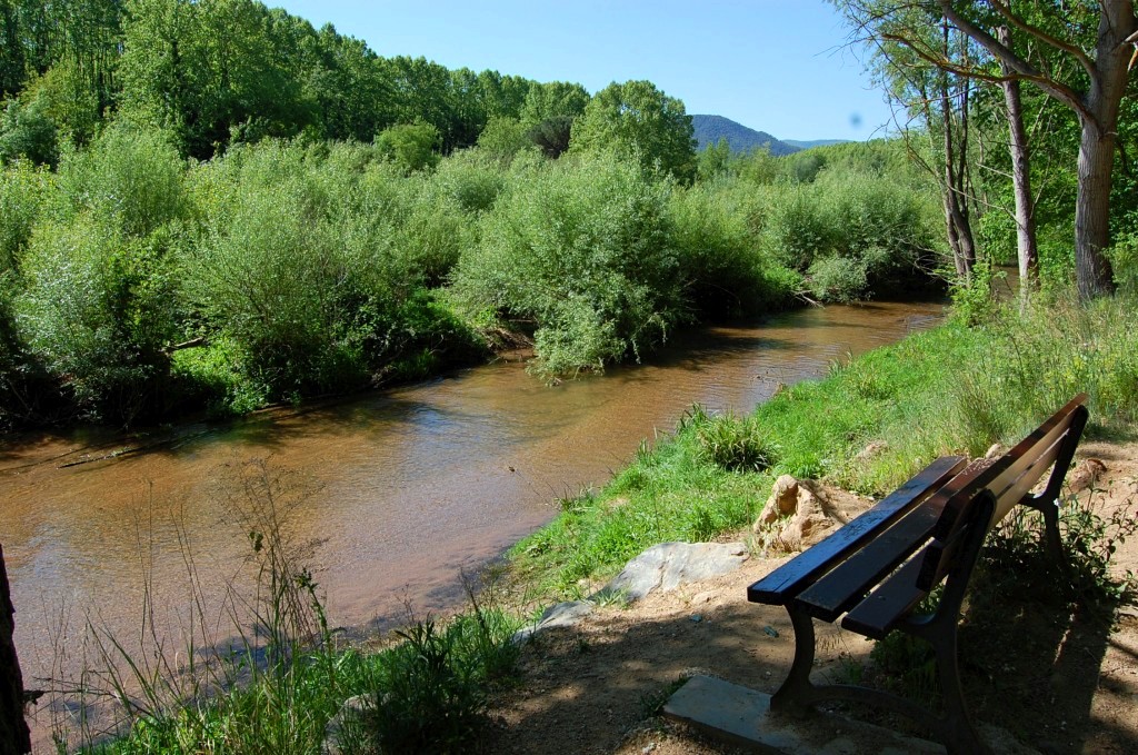
The first part of the route follows a paved road with very little traffic. After approximately one kilometre, leave this road and take a forest track towards Hostalric. Along this section, you will cross the Arbúcies stream at a channelled ford and continue along the opposite bank until you join the main route. From this point, you can reach Hostalric via Via Romana Street or follow the main Tordera route. The latter option follows the River Tordera, passes through the market gardens of Hostalric and continues to Bulls Square.
A few metres from Bulls Square, follow Raval Street to the Tourist Office at Domus Sent Soví, which also serves as a gastronomic centre. The route information panel stands in front of the building. You can ask for information about Hostalric and explore the town and its medieval heritage. Hostalric also offers a wide range of tourist services, including bars, restaurants and shops.