More information about this section…
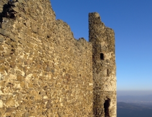
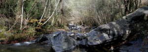
The route along the Tourdera trail from Hostalric to La Batllòria is a very simple walk despite the 11.8 kilometer distance, as it is a very flat stretch with minimal elevation changes. Therefore, this section offers a very pleasant route to discover the natural heritage along the banks of the Tordera River, the lower section of the Riera d’Arbúcies stream (a PEIN protected natural area and Natura 2000 network site), and the Llobateres wetland. At the same time, this route allows you to explore the cultural heritage associated with the medieval town of Hostalric (its fortress, walled enclosure, Tower of the Friars, etc.), or take a detour to the Gorg d’en Perxistor (a signposted commemorative monument at the site of a pool where, according to tradition, Ramon Berenguer II, known as “Cap d’Estopes”, was assassinated by his brother Berenguer Ramon “the Fratricide”). The final goal is to reach La Batllòria, in the municipality of Sant Celoni.
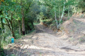
To follow the route, head to the Hostalric Tourist Office, where ample parking is available and you will find the trail information board. To begin, head towards Carrer Raval and walk uphill to Plaça dels Bous, where you will find trail markers guiding you toward the Hostalric vegetable gardens (hortes). Always follow the directional signs (banners) and yellow paint trail markers. Keep following the signs toward La Batllòria and the yellow tracking marks, which will guide you along the Tordera River, the Riera d’Arbúcies (Parc de les Rieres area), poplar groves, and more—almost entirely along forest tracks, except for the section through the Hostalric–Sant Feliu de Buixalleu industrial estate, right after leaving the town. At that point, you will cross the footbridge over the Tordera River, and in just a few meters, you will reach La Batllòria, where you will find a few bars and restaurants.
Remember that Hostalric has a train station, and very close to La Batllòria (500 m) you will find the Gualba train station, which the route also passes. This makes it a convenient option for accessing the trail easily as well as returning home.