More information about this section…
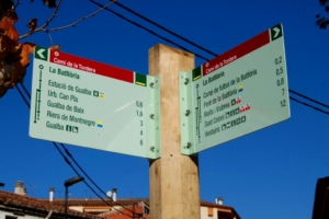
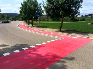
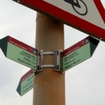
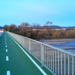
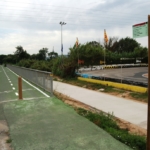
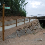
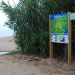
The Tourdera section between Palafolls and Blanes begins on Avinguda Pau Casals in Palafolls, where you will find the route information panel. To start the route, follow the direction indicated by the signpost next to the panel and head down Avinguda de la Ribera de la Burgada to Carrer del Camí del Roig, where you will find a cycle lane that you should follow. This cycle lane leads to the Tordera riverside park, right beside the Tordera River. After crossing the park, you will reach the road between Blanes and Palafolls. At this point, you will find a route signpost indicating the directions towards either Malgrat de Mar or Blanes. To continue towards Blanes, follow the route up to the bridge over the Tordera, where a cycle lane completely separated from traffic runs along the side of the bridge and takes you safely to the opposite bank of the river.
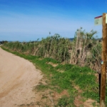
Once you have crossed the Tordera, you will see the path descending to join a lower track, which leads directly towards Blanes. Throughout the route, you should always follow the vertical route signs and the yellow painted markers. These yellow markings follow the standard trail-marking system used on many waymarked routes: a single line indicates that you are on the correct path, a cross means that you are on the wrong route, and a 90° angle mark indicates a sharp change of direction or a turn.
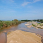
Shortly before reaching Blanes, you will come across a signpost offering the option of making a short detour to the mouth of the Tordera River, where you will find a viewpoint from which you can observe the local wildlife without disturbing the tranquillity of the area. Here, the lagoon formed before the river flows into the sea provides an important habitat for a wide variety of bird species.
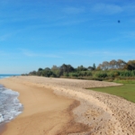
After returning to the main route, the signs will guide you into the urban area of Blanes. You will first enter via Avinguda Vila de Madrid, in the well-known Els Pins neighbourhood, and then continue onto the seafront promenade of S’Abanell Beach. Throughout the urban section of Blanes, the route signs are smaller and mounted on streetlights or traffic signs, rather than on the wooden posts used along the rest of the route.
Along the final section of the seafront promenade, both walkers and cyclists should pay attention to the signage. Hikers should use the upper promenade, while cyclists should follow the designated cycle lane, as indicated by the route signs. The section ends at Plaça Catalunya, in front of the Tourist Information Office and Sa Palomera, where another route information panel is located and where the Costa Brava is traditionally considered to begin.