More information about this section…
If you would like to complete the Tourdera route between Sant Celoni and Vallgorguina, you should be aware that this is a connecting itinerary leading to the village of Vallgorguina, and that you will only follow the main Tourdera route for a short distance. This route, which is nevertheless very attractive, can be completed either on foot or by bicycle. It is 9.1 kilometres long, with a cumulative ascent of 175 metres and an overall moderate level of difficulty.
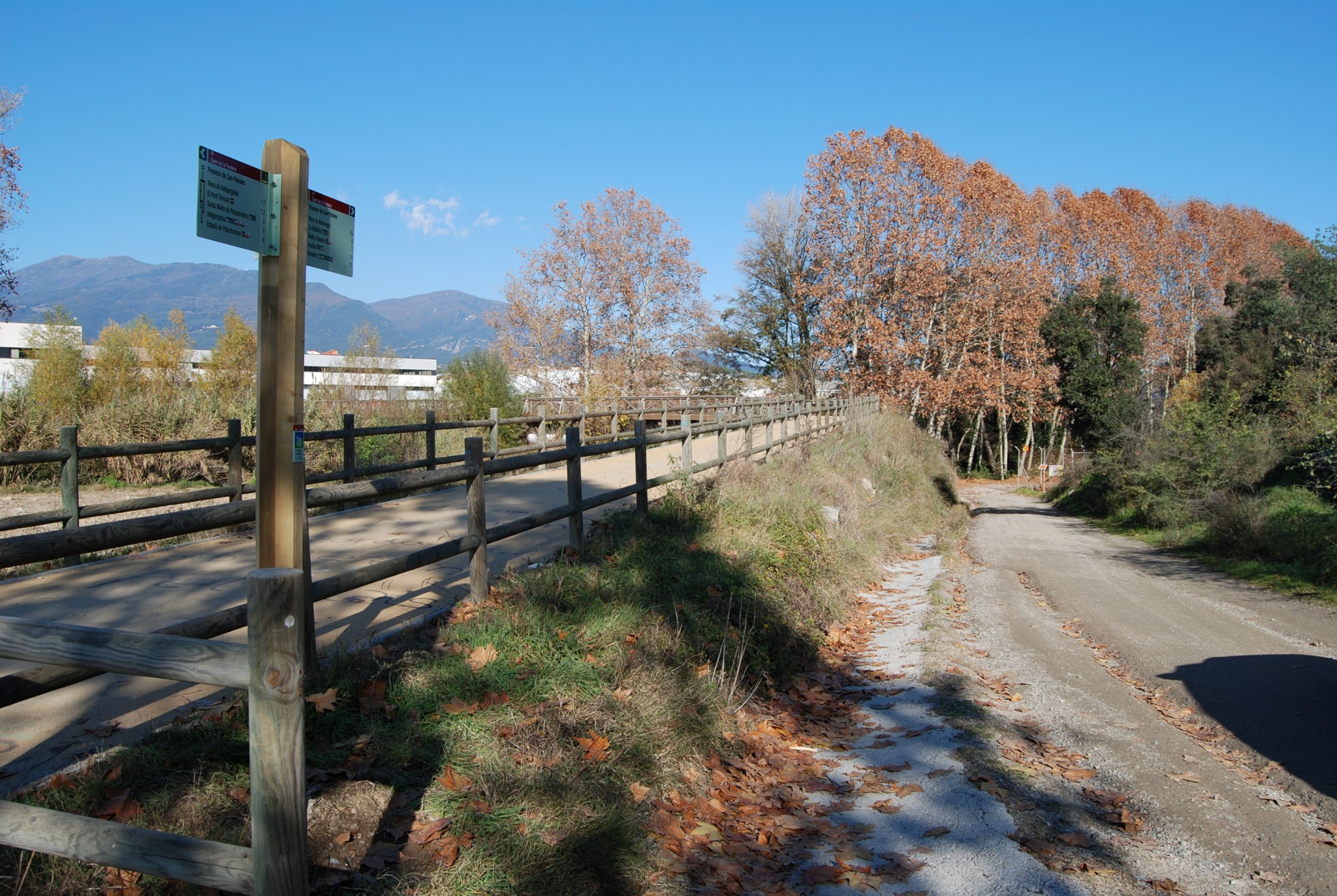
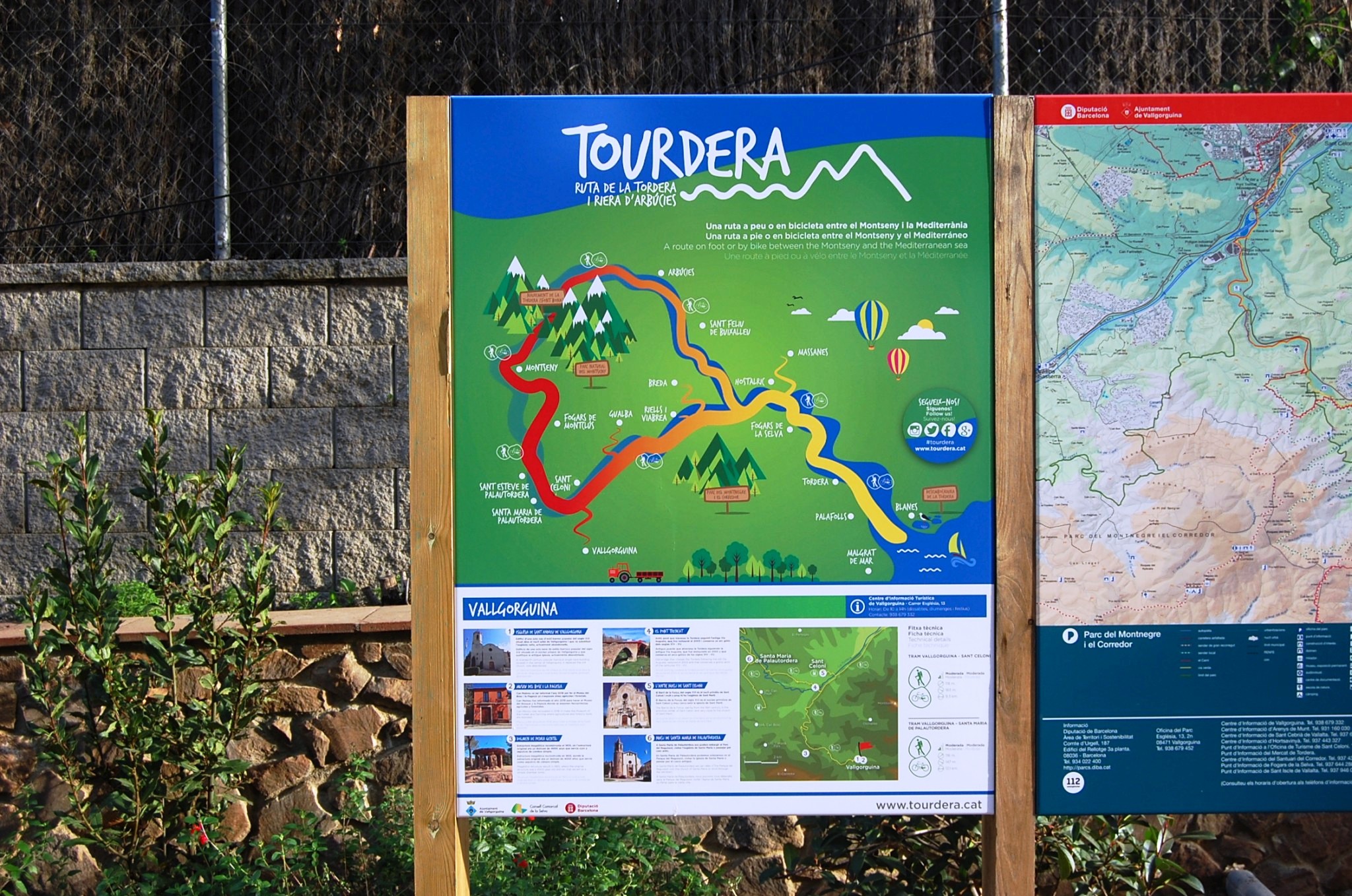
The route begins at Sant Celoni railway station, where you will find the route information panel. From there, you will immediately see the first small wayfinding sign attached to a streetlight, indicating the direction towards Carrer d’Esteve Mogas. Halfway along the street, and continuing to follow these small signs, you will cross beneath the railway tracks through an underpass and begin the descent towards the Tordera, passing through an industrial area until you reach the Can Pàmies footbridge, which allows you to cross the river.
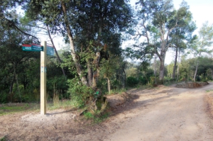
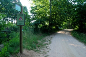
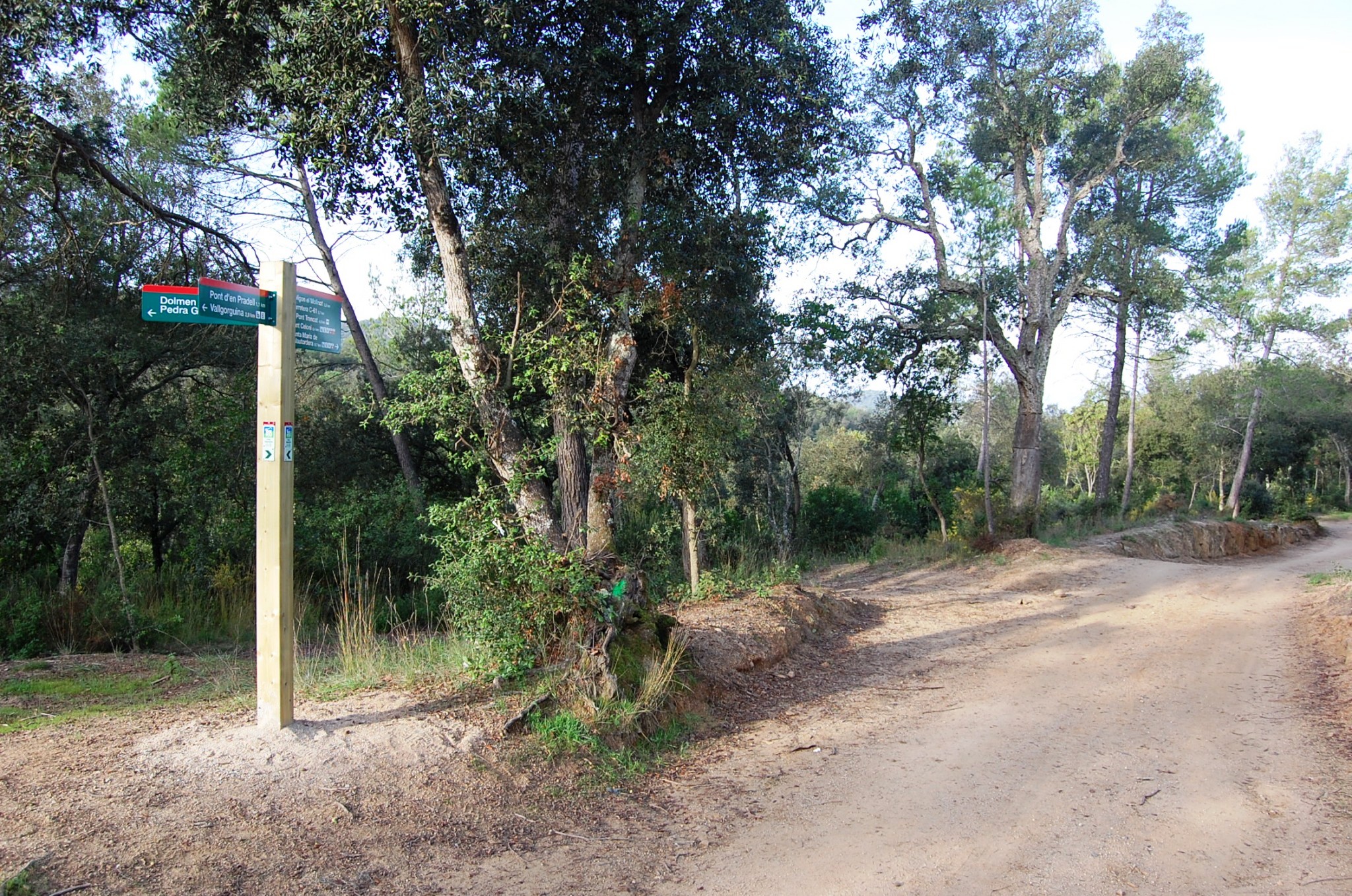
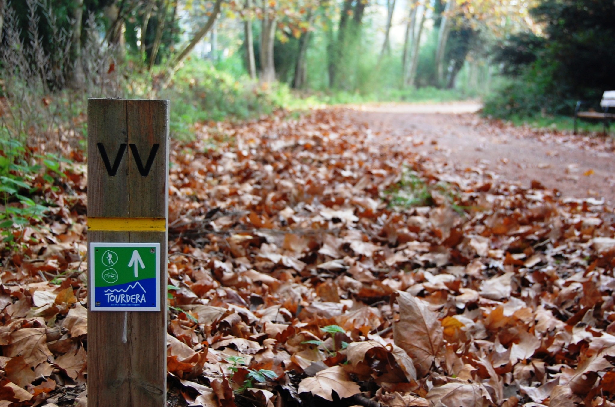
Once you have crossed the footbridge, and following the signs towards Vallgorguina, you should continue upstream along the Tordera on a track which, after approximately 800 metres, joins the BV-5112 road. In this area, the route signage clearly indicates that you are leaving the main Tourdera route and joining the Vallgorguina connecting itinerary.
Following the signs, you will first pass several industrial buildings, then cross the motorway along the shoulder of the C-61 road before heading towards the El Molinot industrial estate.
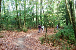
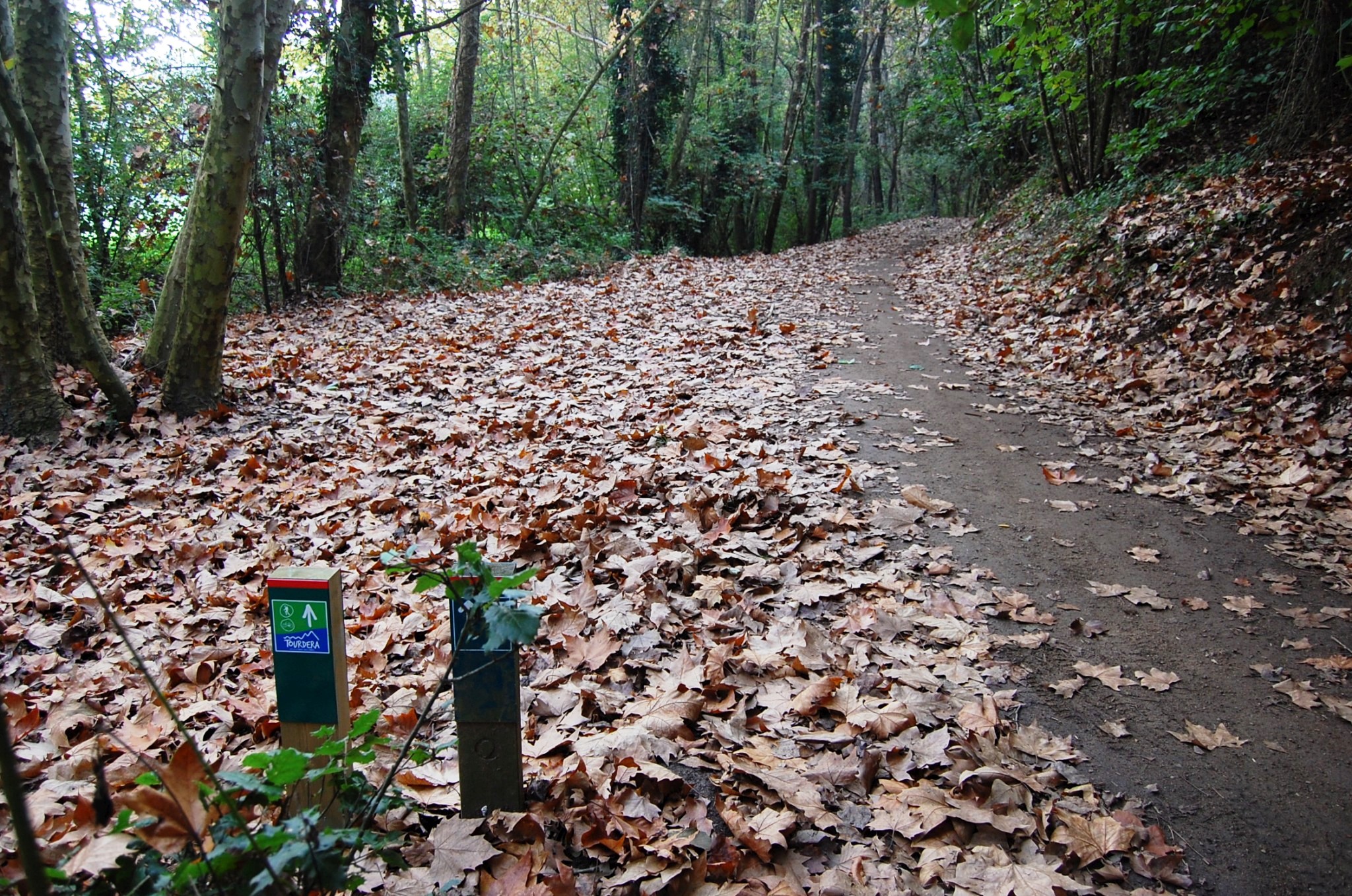
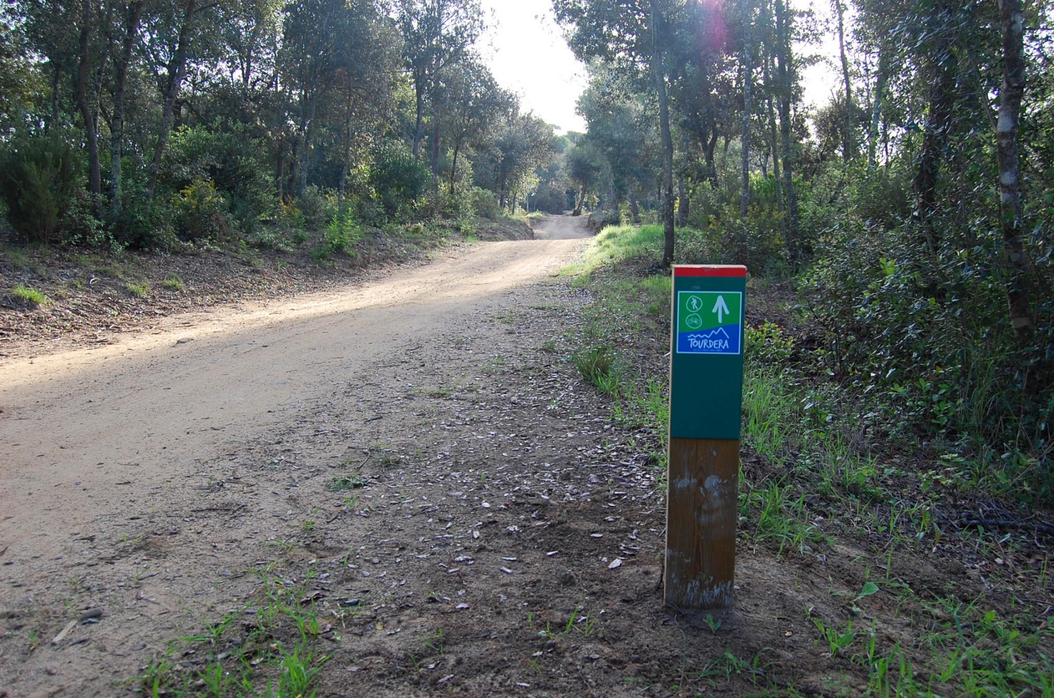
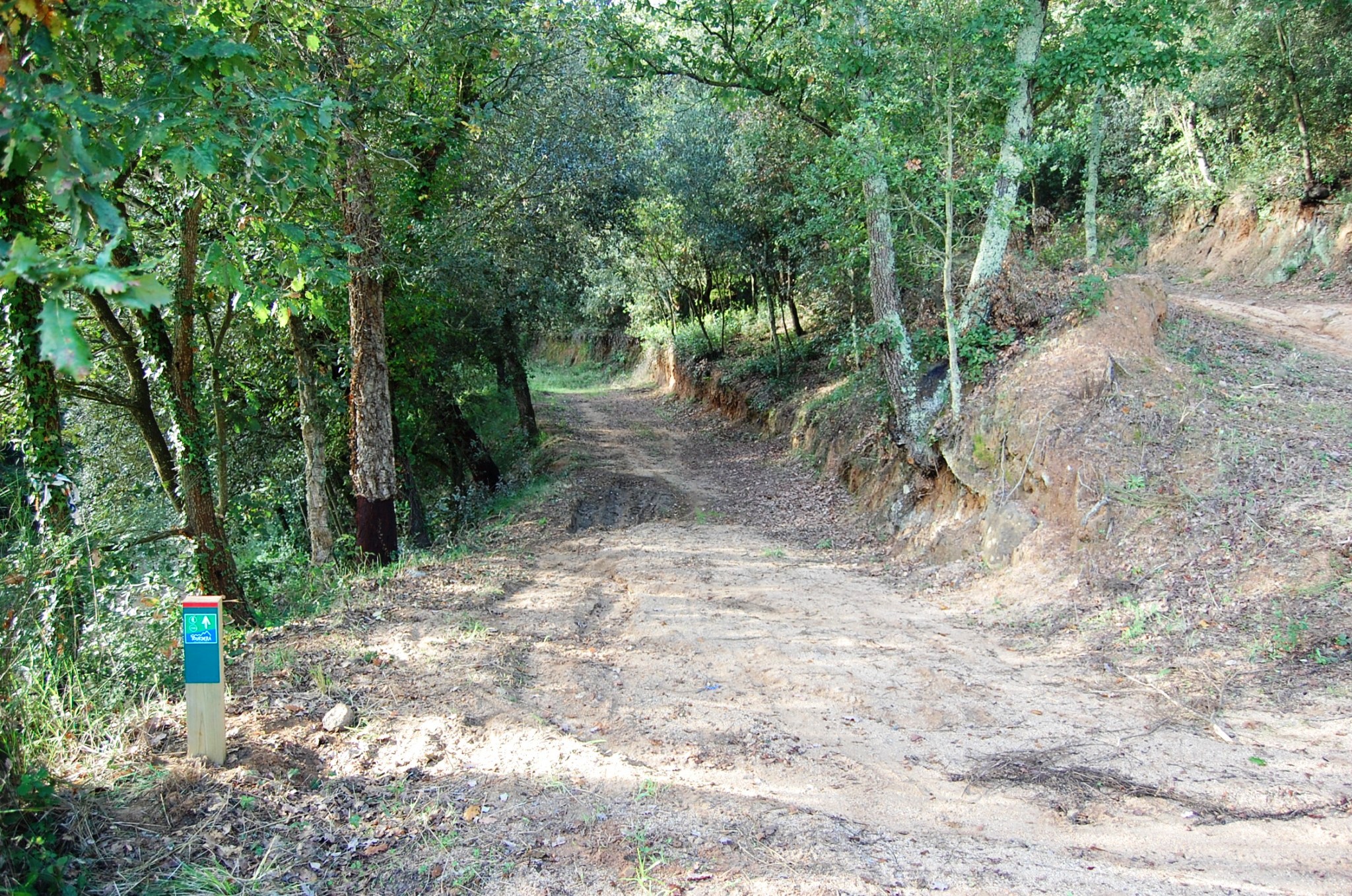
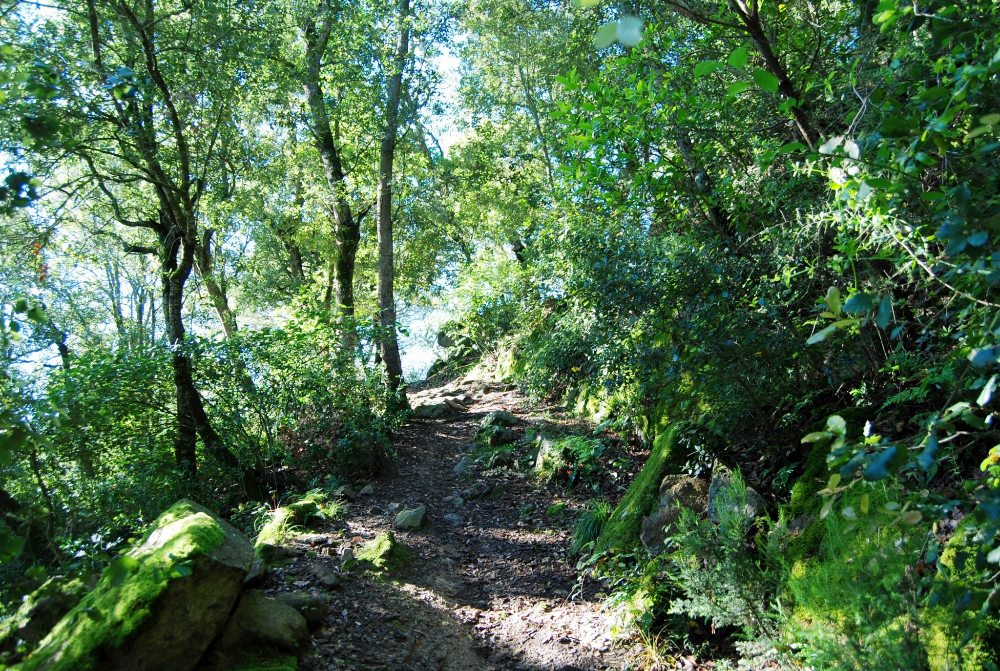
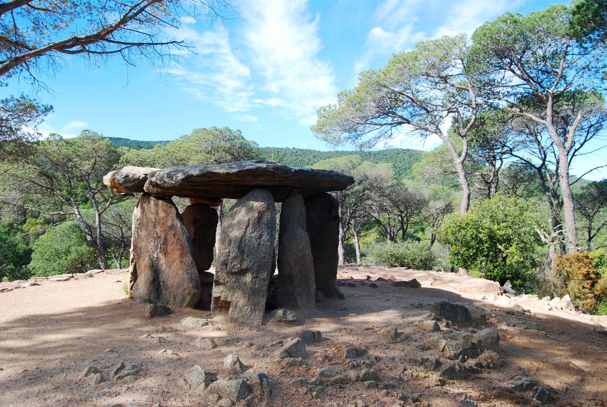
After a short distance through the industrial estate, the route enters a natural environment. More specifically, it follows a pleasant traffic-free path running parallel to the Vallgorguina stream until reaching a circuit track. After passing the circuit, you will leave the stream behind and climb into the hills along tracks and footpaths until you reach a point from which you may take a short detour to visit the Pedra Gentil Dolmen, a highly recommended site.
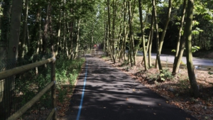
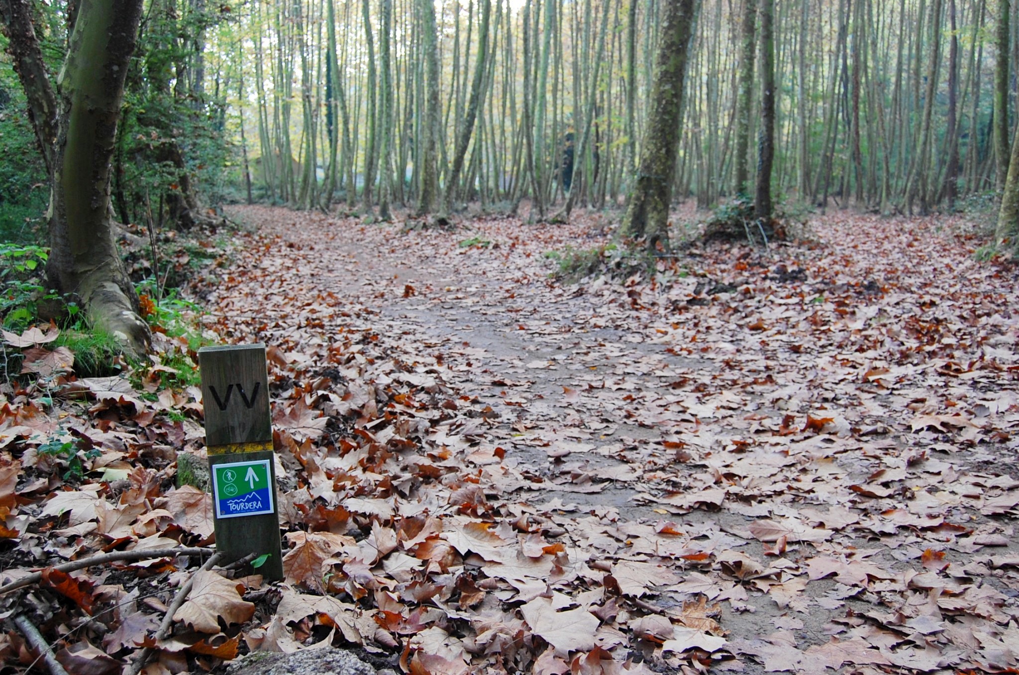
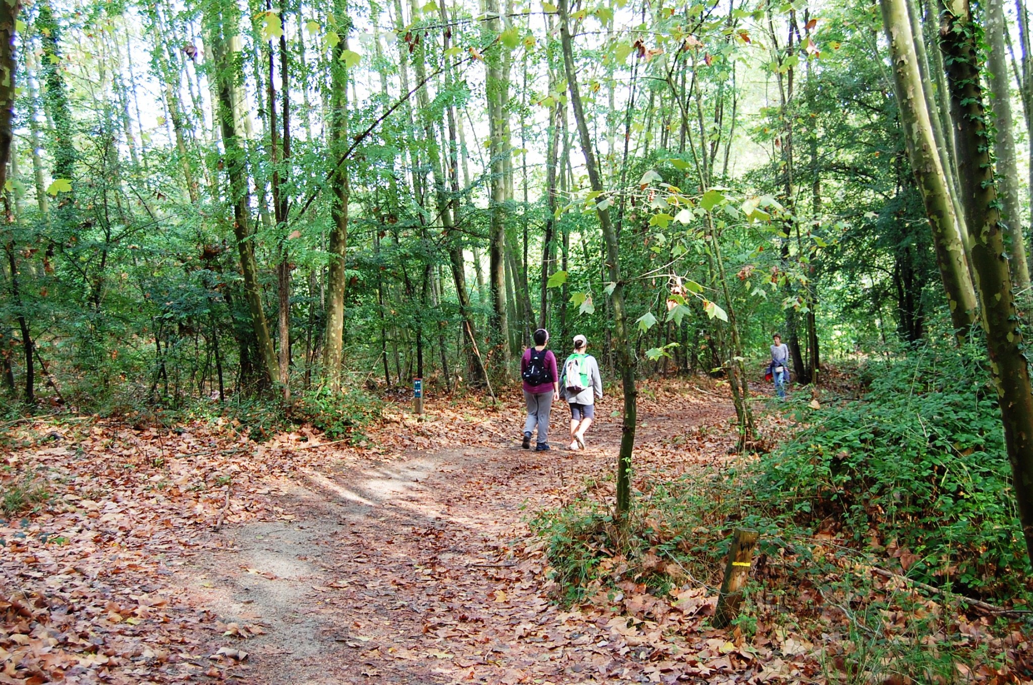
Returning to the route, you will follow a descending track back towards the Vallgorguina stream, which you will once again follow all the way to Vallgorguina, passing along the well-known Greenway (Via Verda). This section is very pleasant and completely free from traffic.
Once in Vallgorguina, you may visit the Vallgorguina Forest and Rural Life Museum (Museu del Bosc i la Pagesia de Vallgorguina), or take the opportunity to enjoy some of the village’s shops, bars and restaurants.