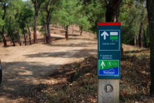
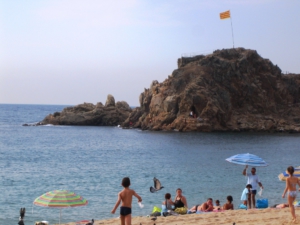
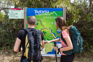
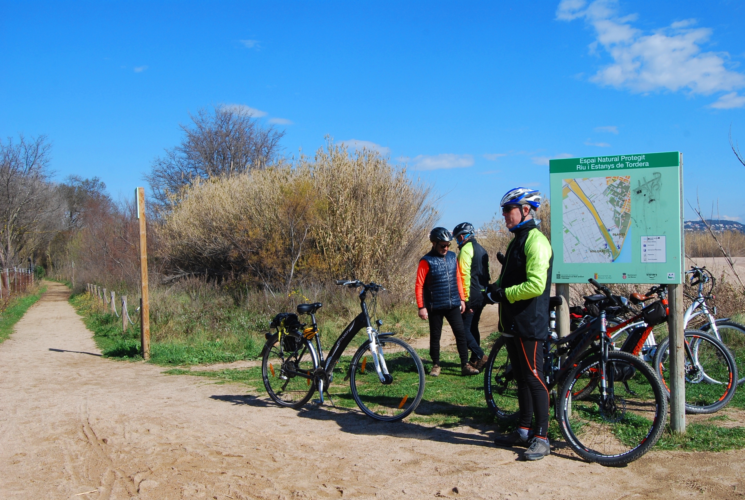
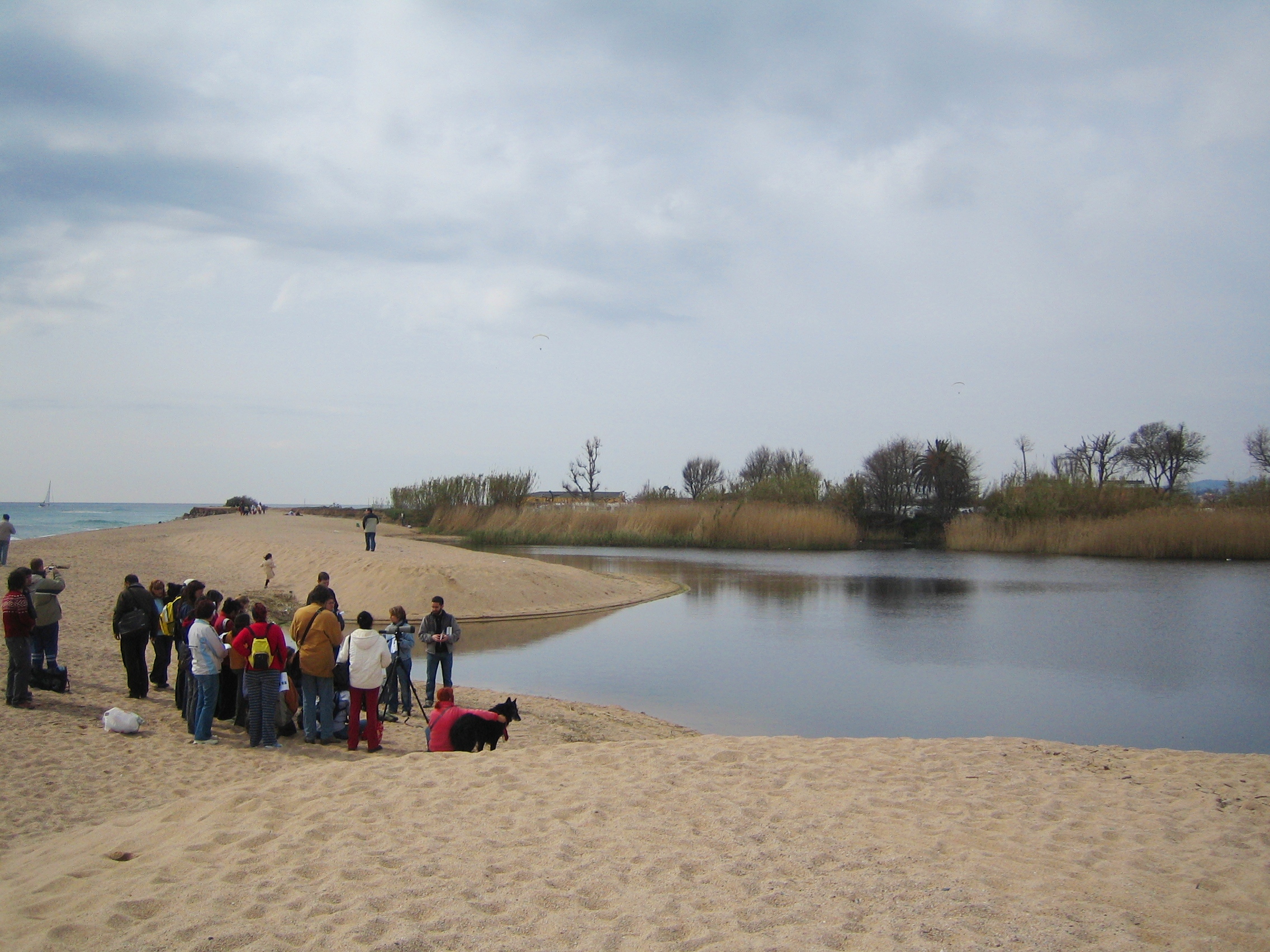
The Tordera Route section between Malgrat de Mar and Palafolls is 7 kilometres long and allows you to connect these two municipalities on a pleasant walk through the riverbanks and the Tordera Delta. The route begins in front of Malgrat de Mar railway station, where you will find the route information panel. Following the directions on the first wayfinding sign, you should head towards the beaches and the mouth of the Tordera. The section ends in the town of Palafolls, although before reaching it you will have the opportunity to make a detour to the mouth of the Tordera and observe its coastal lagoon.
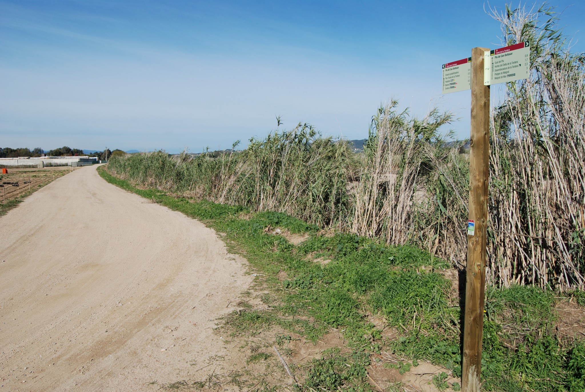
Throughout this section, much of the route follows paths separated from traffic, while the remainder takes place on tracks with very little traffic or through urban areas. However, in the market garden area of Malgrat, after leaving the beaches behind, the route follows the Camins del Pla and de Mas Bages, on a paved road shared with vehicles. Please remember that throughout the route you should not leave the marked path, always following the route signage, and that you should respect all safety recommendations as well as the natural environment at all times.
More information about this section…
The Tourdera section between Malgrat de Mar and Palafolls follows the same route for walkers and cyclists. It is 7 kilometres long, with a total ascent of only 10 metres, making it a very easy section. At the starting point, in front of Malgrat de Mar railway station, you will find a route information panel and several nearby parking options. Malgrat de Mar also offers a wide range of services, including shops, bars and restaurants.
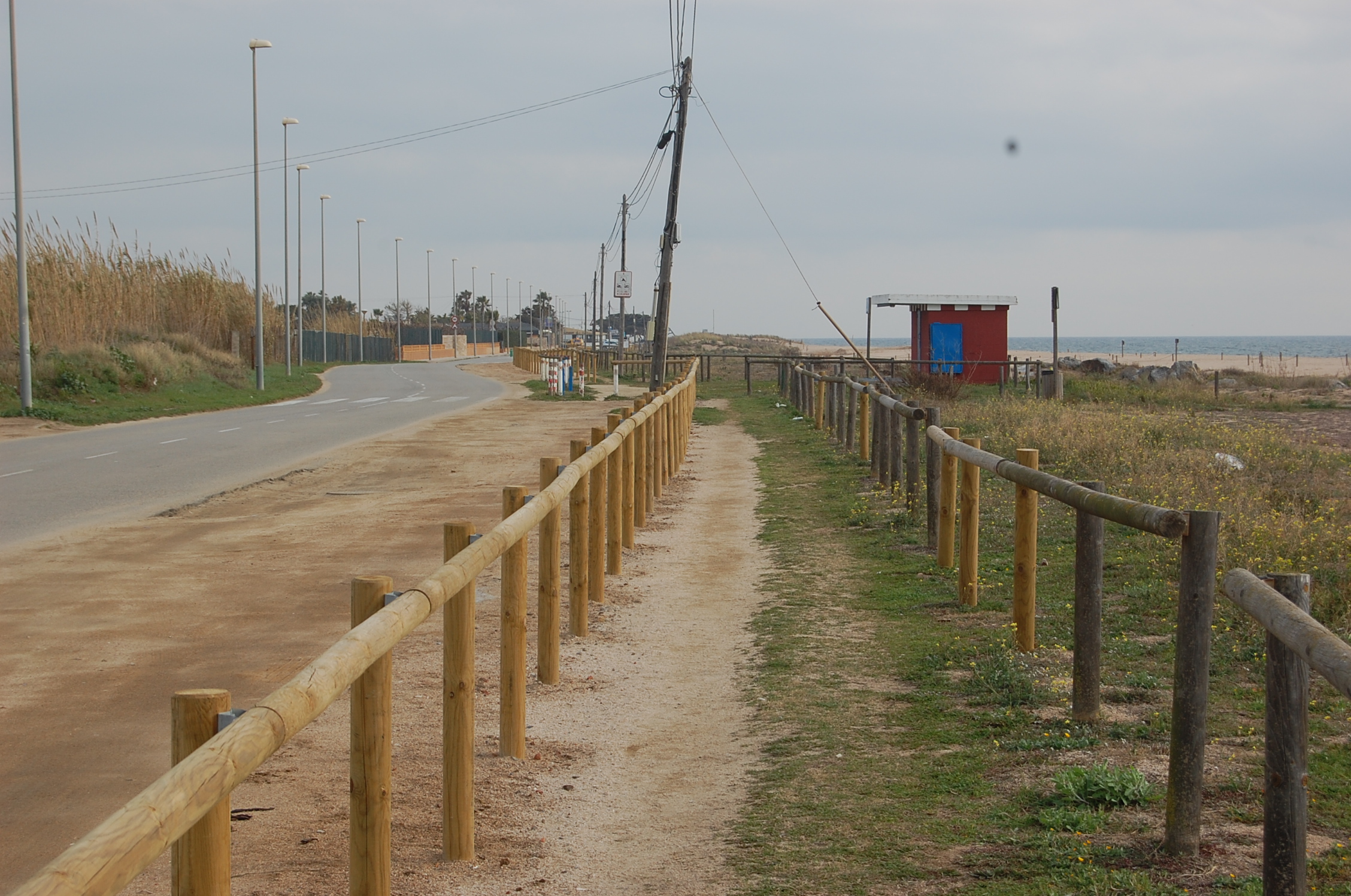
To begin, follow the sign towards the beaches and the mouth of the River Tordera. After a short distance, an underpass takes you beneath the railway tracks to the Malgrat de Mar seafront promenade. Continue past several beaches by following the route signs until you reach Pomareda Promenade. This section is easy to follow and separated from road traffic by a fence. It passes behind a protected area of dune vegetation containing plants characteristic of this environment.
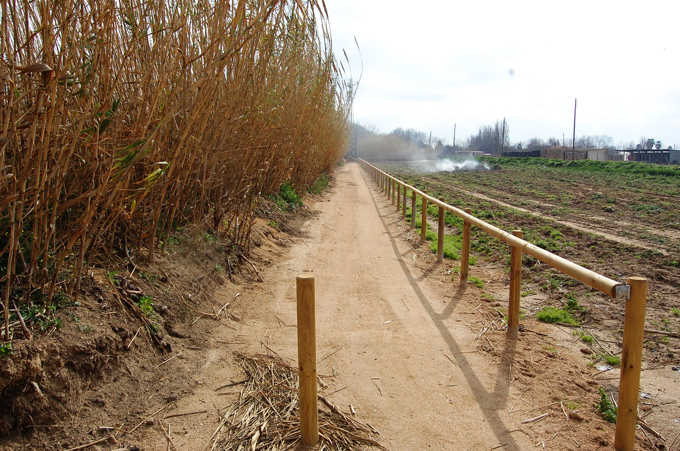
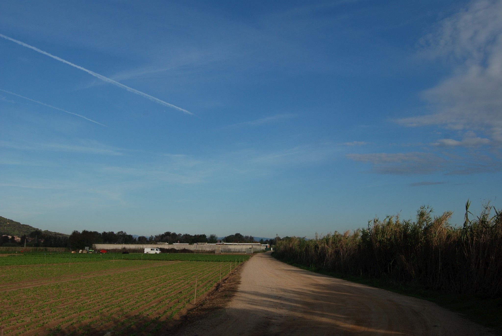
On reaching the campsite area, leave the segregated path and follow the Mas Bages and El Pla paths. This section uses a shared road, so take care around traffic. The route passes through the market gardens of Malgrat de Mar, in the heart of the Tordera delta, and reaches the river at the Pla Ford.
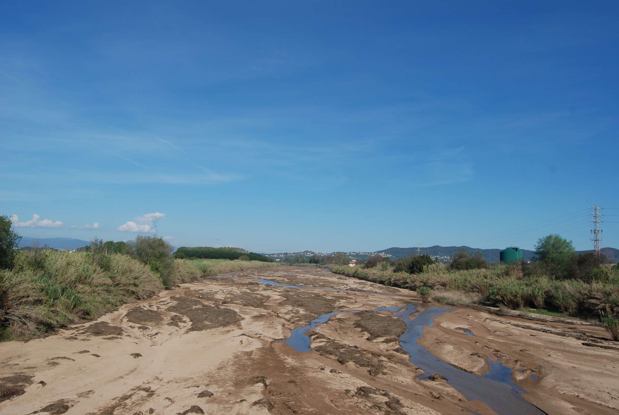
Here, the signposts indicate two options: take a detour of just over one kilometre to the mouth of the River Tordera or continue towards Palafolls. If you continue towards Palafolls, the route rejoins a path completely separated from traffic along the Tordera river embankment.
The route continues beside the river, alternating between segregated paths and forest tracks. Before reaching the town, it passes through Tordera River Park, with its ponds and areas for walking and resting. In Palafolls, the route leads to the town centre, where you can see distinctive buildings such as the Library and El Palauet. You will also find bars, restaurants and shops where you can rest and stock up on supplies.