
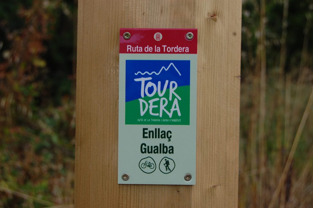
As you know, the Tordera Route and Arbúcies stream (Tourdera) is an itinerary that follows the course of the Tordera River and the Arbúcies stream in practically its entirety, but there are also some links to the route from towns near the river, such as Gualba, Massanes, Breda or Vallgorguina. In this article, we present the case of Gualba.
To describe this itinerary from the beautiful village of Gualba, at the foot of the Montseny, we will give you a short description of the route from Gualba to La Batllòria, but keep in mind that you can do it in the opposite direction. The itinerary, which presents some very interesting points, is part of the old Gualba royal road.
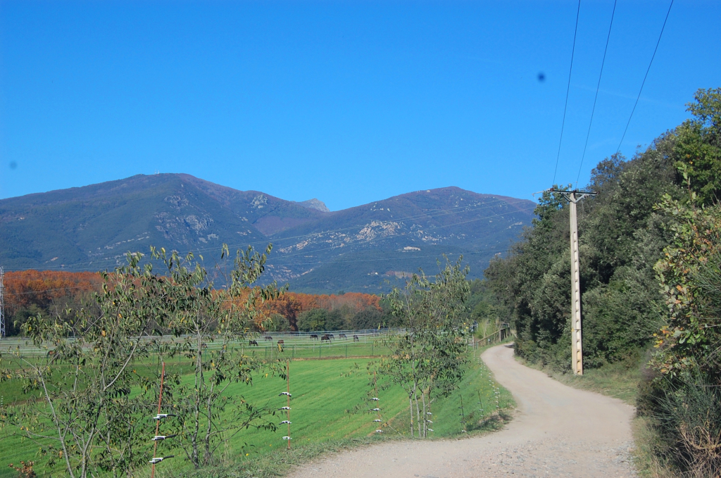
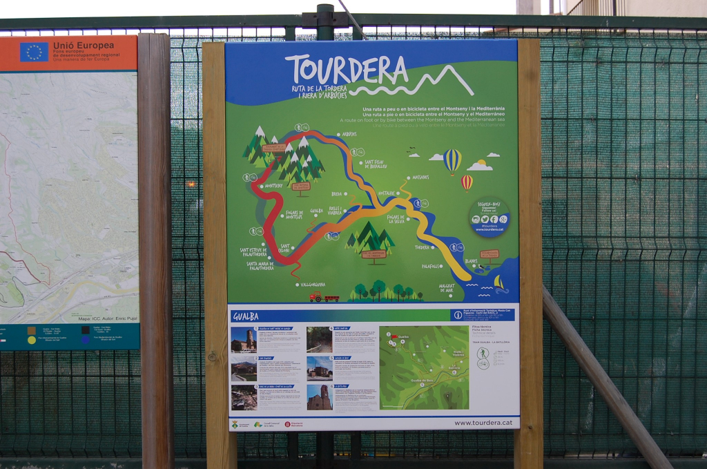
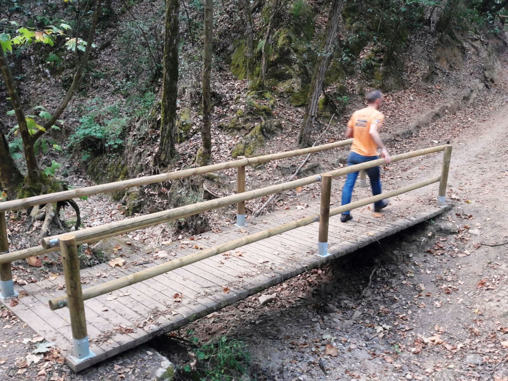
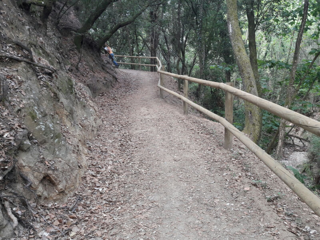
Once you leave the village, approximately in the area of the CAP (Primary Care Center), the route goes into a green area parallel to the stream. In the first section, you cross the Gualba stream, through an area of high landscape interest, passing through Les Cases Blanques and Can Joan Vernedes, on a forest track until you find the turnoff of the old royal road. At this moment, the path becomes a trail of considerable width, which crosses the Can Sivina torrent, via a footbridge with a railing, in a section of great attractiveness and well sheltered from the sun by the canopy of the trees.
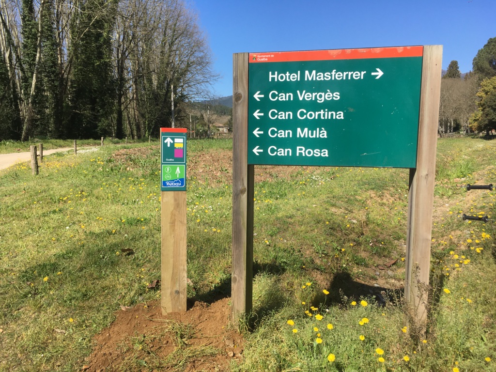
Following the route, you will head towards the Rieral de la Barceloneta area, a whole section where the itinerary passes through forest tracks that connect different farmhouses (Can Pere Maimó, Vil·la Maria, Can Cortina, etc.), among which is the Can Pascual Restaurant, which also has a picnic area, or the Masferrer hotel, located at Can Masferrer. Therefore, it is a section of the route of high interest and where you will find some bar, picnic or hotel services. And, following the itinerary in the same direction, you will reach the BV-5115 road, in the access area to the Can Pla urbanization, where you will find a tracking banner that will indicate the way towards La Batllòria and the train station. At this point, you will also have the opportunity to head towards Gualba de Baix, which belongs to the same municipality of Gualba, and which is located next to the Tordera.
If you continue in the direction of La Batllòria, you will reach the Gualba train station, but you must take precautions as in parts of the route you will be circulating parallel to the BV-5115 road and the access road to the station. Once you arrive at the station, you will cross the train tracks via an underpass and, on the other side, following the signs, you will reach La Batllòria, which belongs to the municipality of Sant Celoni. At this point, you will also find different catering services.
We hope this connecting section is of interest to you and that you are encouraged to try it out, we look forward to seeing you! And if you want more information, consult the section file at this link, or if you want to do it in the opposite direction, consult the file from La Batllòria to Gualba.



















