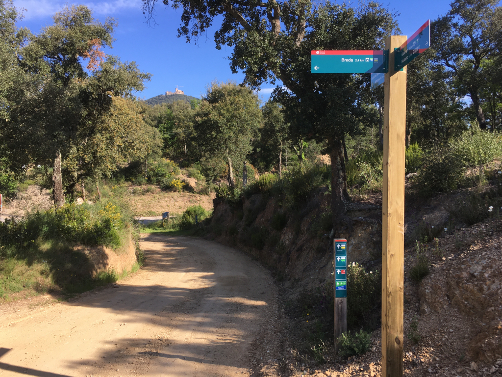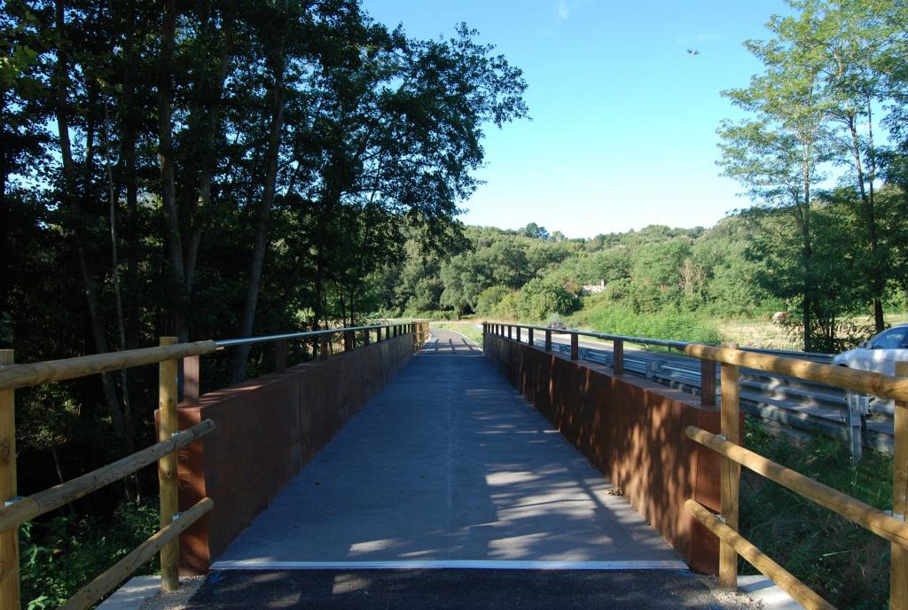
We have reached the 4th and final installment of the collection of articles dedicated to the connecting itineraries of the Tordera River and Arbúcies Stream route. If you have not read the previous articles, this collection aims to explain that the Tourdera connecting itineraries are small sections of the route that connect centers near the river to the main route, as is the case of Massanes, Gualba, Vallgorguina or the cases that occupy us today of Riells i Viabrea and Breda.
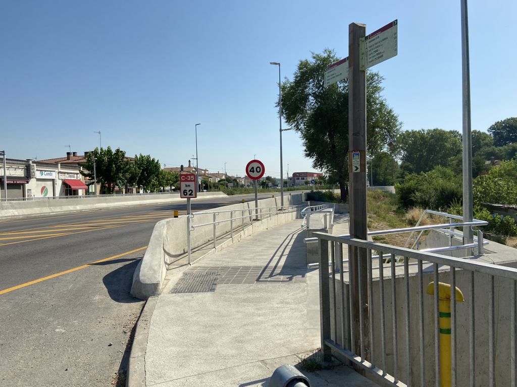
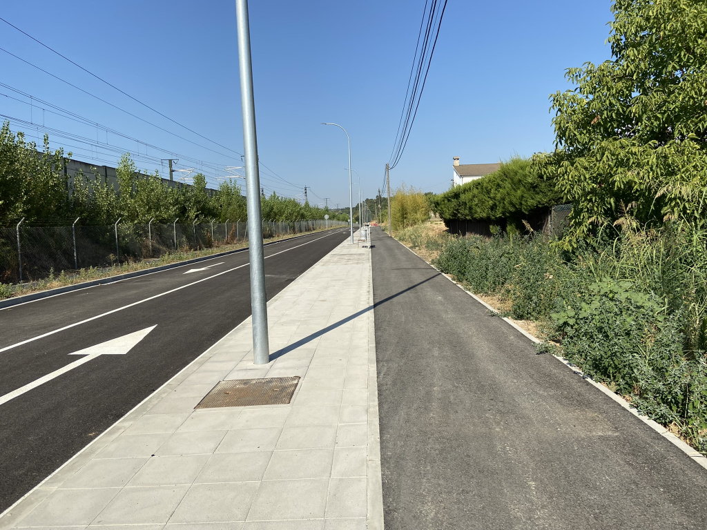
Once you have crossed the highway, you will be in the municipality of Riells i Viabrea. You will need to pass through Santa Fe Street, cross the train tracks by the underpass and, on the other side, take the railway avenue which, parallel to the train tracks, will take you directly to the town hall. On this section, you will see that interventions have recently been carried out to segregate a whole bike lane that makes the ride much safer. When you arrive at the town hall, you will finish the section to Riells i Viabrea, and you will find the route panel right next to the road.
If you continue with the route, you can get to Breda by an easy path as well, 3.8 kilometers long and almost entirely along a segregated bike lane. First, about 800 meters from the Riells Town Hall and following the signage, you will arrive at the Viabrea center, where the train station is, following a segregated gravel path parallel to the GI-552 road.
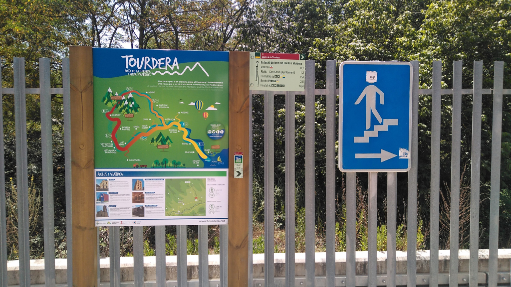
Once you arrive in Viabrea, you can divert to the train station, or take the path towards Breda along the bike lane that runs parallel to the GI-552 road again, again segregated from traffic, but this time paved. Once in Breda, you will head towards the Sant Salvador monastery, which is where the section ends and in the whole town you can find bar and restaurant services, etc.
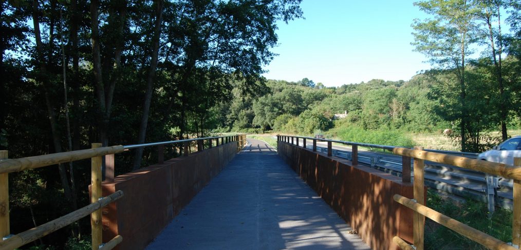
A very important aspect of this connecting itinerary is that from Breda you can also head towards the Coll de n’Orri and link with the itinerary of the Arbúcies stream route. Therefore, in reality, this connecting itinerary allows you to reach both the main Tourdera itinerary and the Arbúcies stream one. We hope that this article has been interesting for you and that you are eager to visit these sections of the route and their towns.