
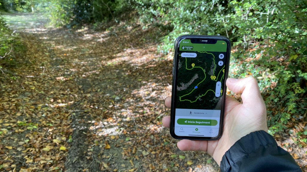
As you know, for years, the Tourdera has had all the tracks of the route sections uploaded to the Wikiloc portal, a digital platform with more than 2 million users that was born in Catalonia. It is a tool that allows you to store and share outdoor, georeferenced routes, as well as associated points of interest, shown on various base maps such as Google Maps, Open Street Map, topographic maps, orthophoto maps, etc.
Wikiloc
The Tourdera tracks on Wikiloc

Although most of you already know it, Wikiloc is a community of users who share routes and points of interest from all over the world, georeferenced, projected on Google Maps or other maps, and which allows you to download tracks, view photographs, explanations, etc. From Tourdera, we have already uploaded the first active sections of the route in the municipality of Montseny.



















