Section Tourdera Blanes – Malgrat de Mar
Description of the section
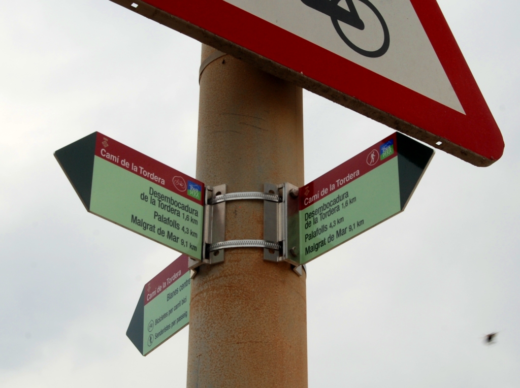
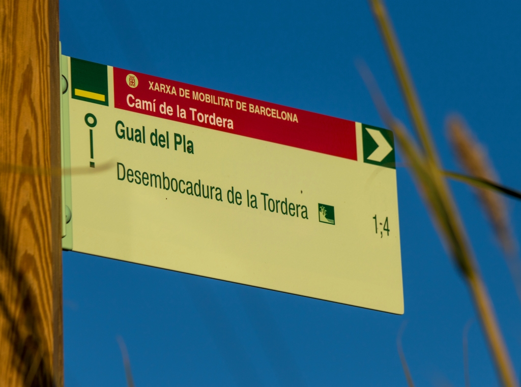
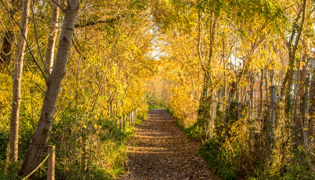
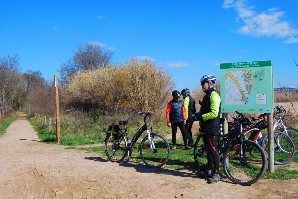
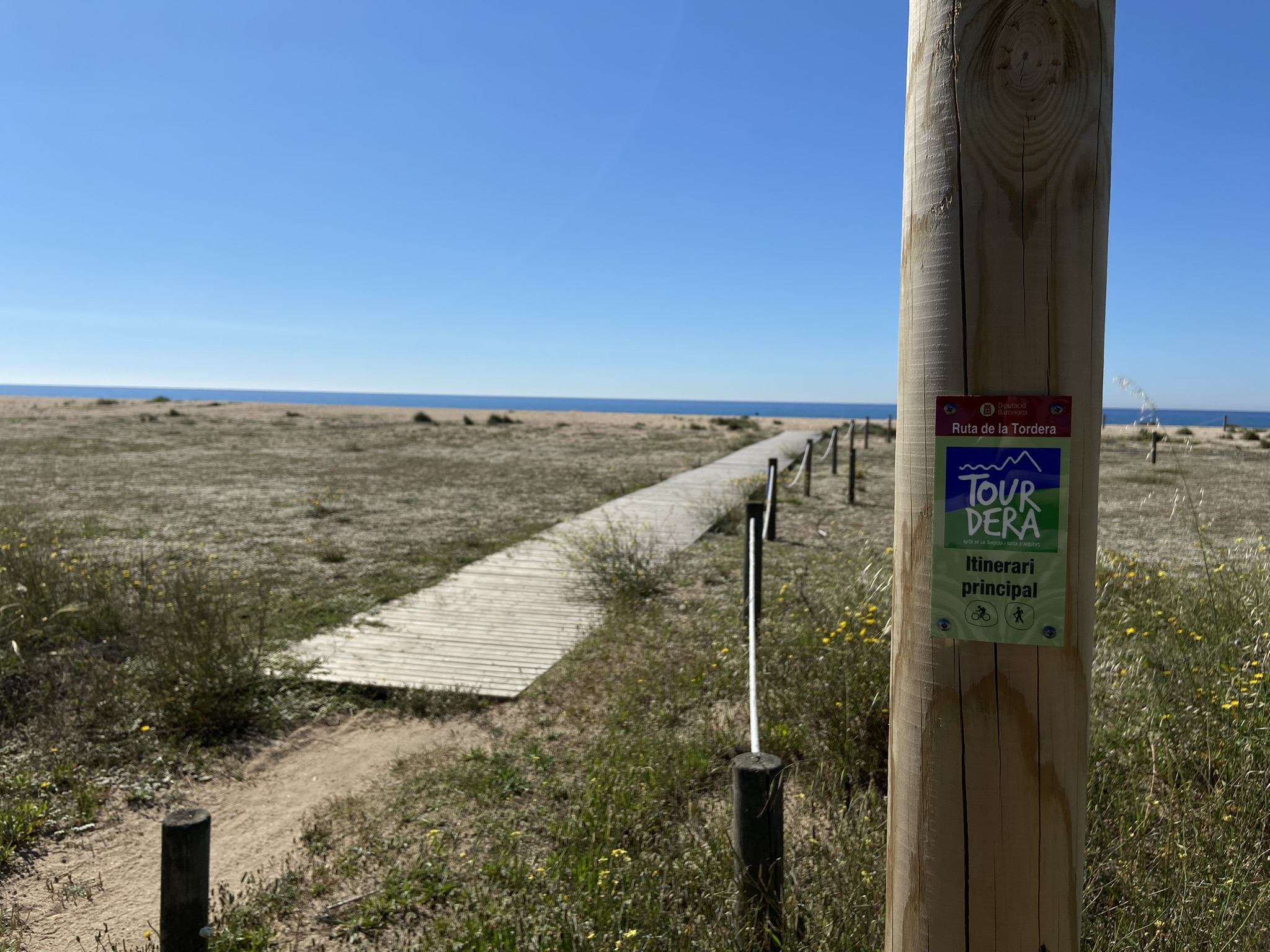
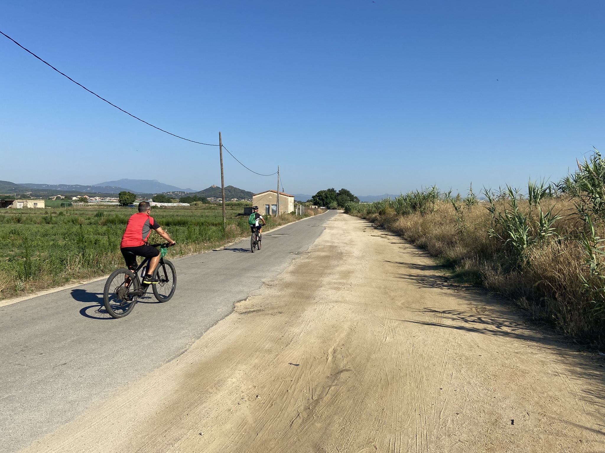
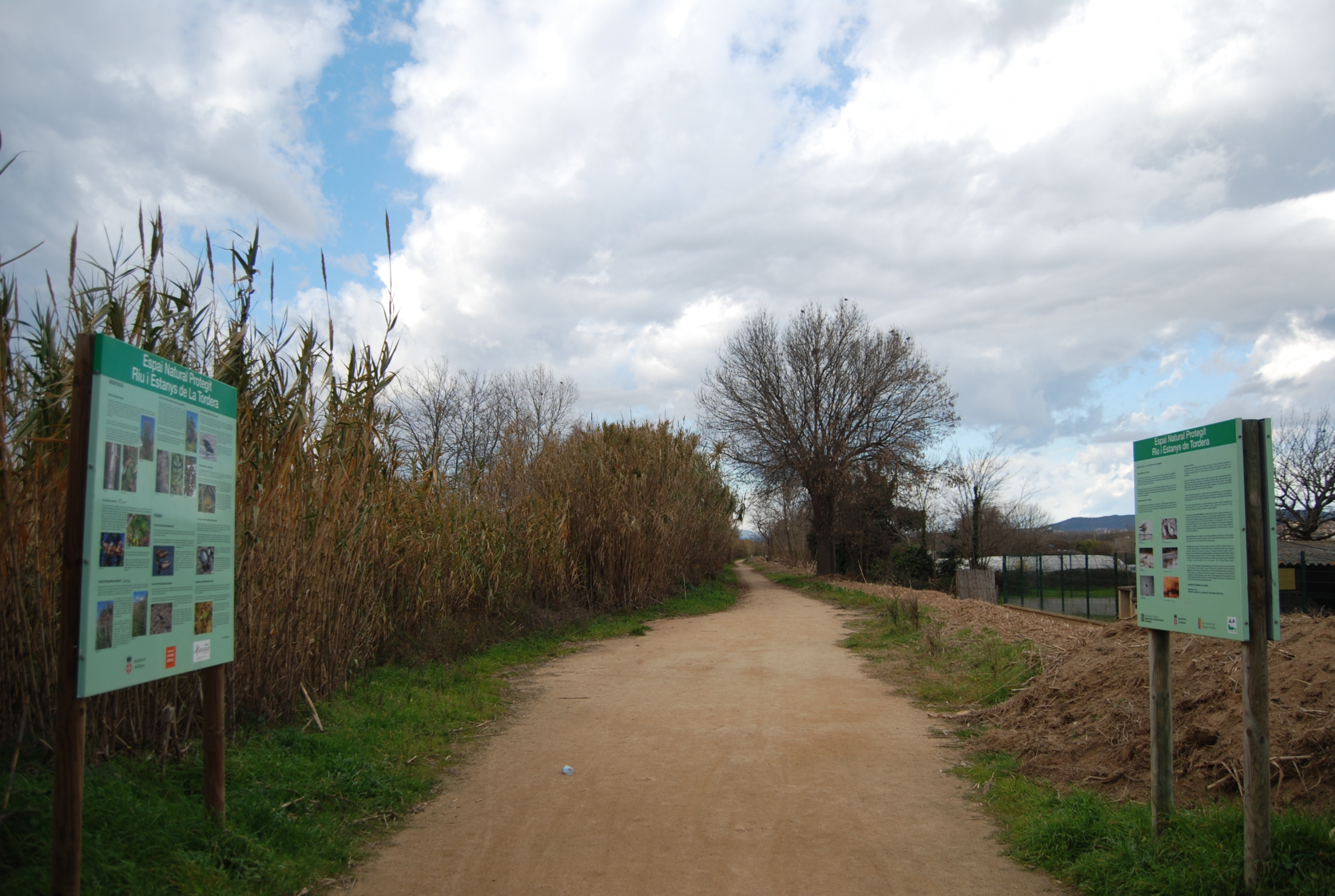
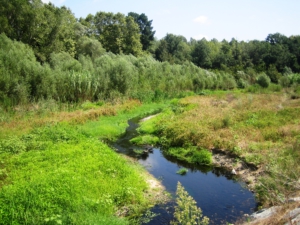
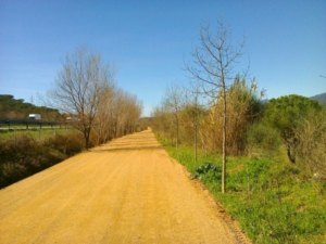
The section of the Tordera route between Blanes and Malgrat de Mar is a very flat walk covering between 10 and 11 km, depending on the option you choose. It follows tracks that run alongside the River Tordera for almost the entire route. Both Blanes and Malgrat de Mar offer a wide range of tourist services, as they are major visitor destinations. The route is suitable for walkers and cyclists. Simply follow the Tourdera signs and the yellow painted trail markers.
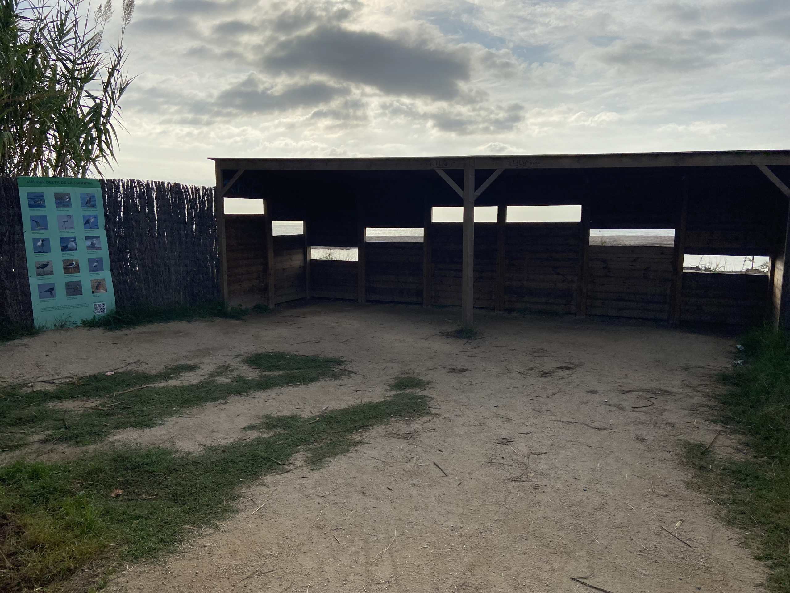
Shortly after starting from the Blanes side, or shortly before finishing when approaching from Malgrat de Mar, we recommend taking the detour to the mouth of the River Tordera. This important natural area provides a resting place for many migratory birds travelling south and has observation points overlooking the protected site. At the river mouth and throughout the route, follow all the recommendations for respecting the natural environment. Signposts on both sides of the river indicate the detour.
Option 1 (long: via the Palafolls road bridge)
The two suggested options between Blanes and Malgrat de Mar are almost identical. The only difference is where they cross the River Tordera.
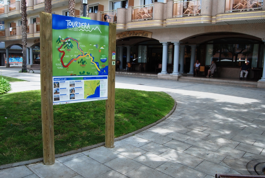
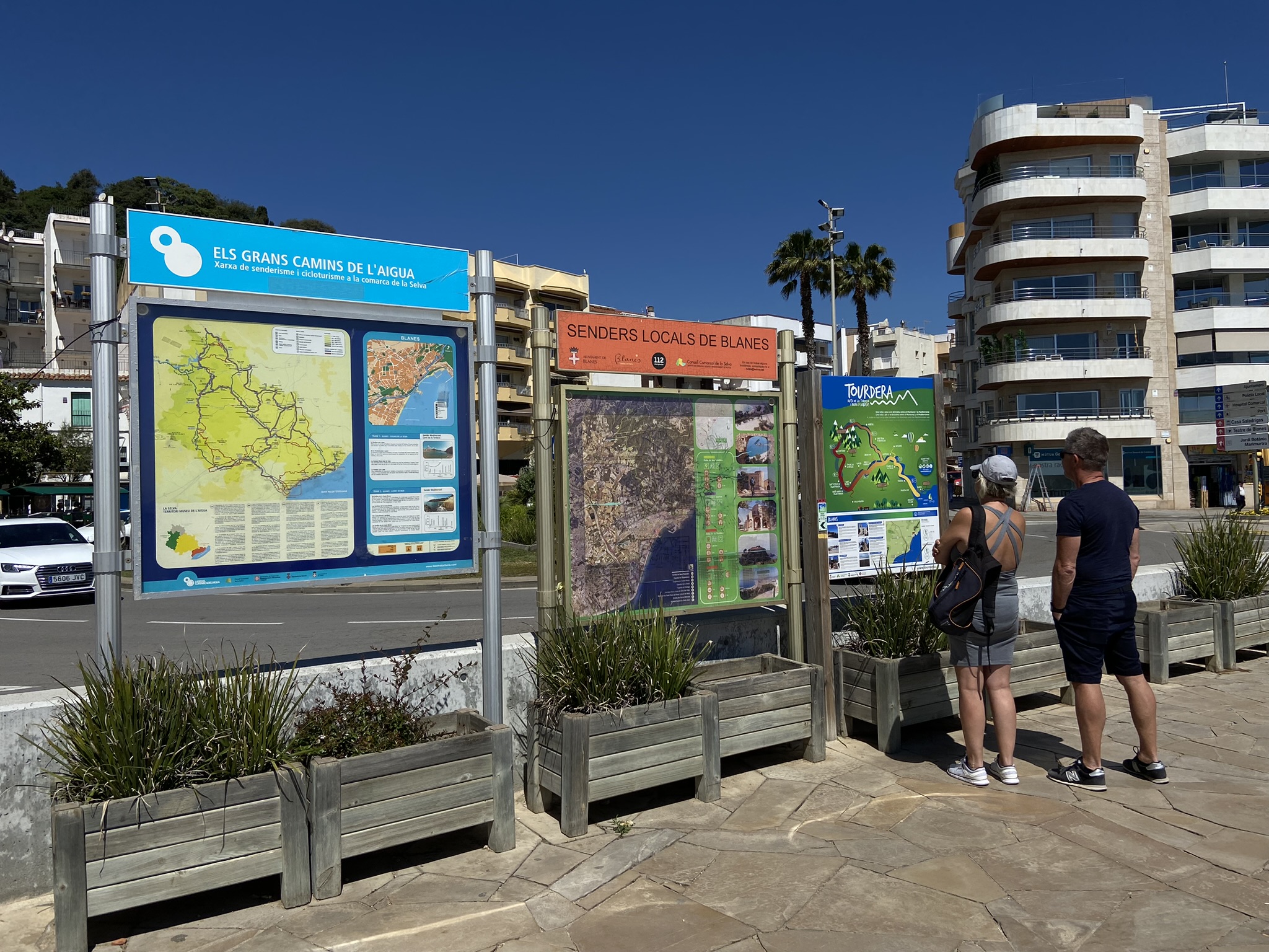
Option 1 begins in front of Sa Palomera, the well-known landmark traditionally regarded as the starting point of the Costa Brava. More specifically, the route starts at Catalonia Square, beside the Tourist Office and the route information panel. A sign attached to the panel indicates the direction to follow.
For the first few hundred metres, the route follows the seafront promenade beside s’Abanell Beach. Walkers should remain on the promenade, while cyclists must use the cycle lane. Follow the route signposts and yellow painted markers. A stripe indicates the correct route, a cross marks the wrong direction and a 90-degree angle indicates a sudden change of direction or turn. This option is approximately one kilometre longer than Option 2.
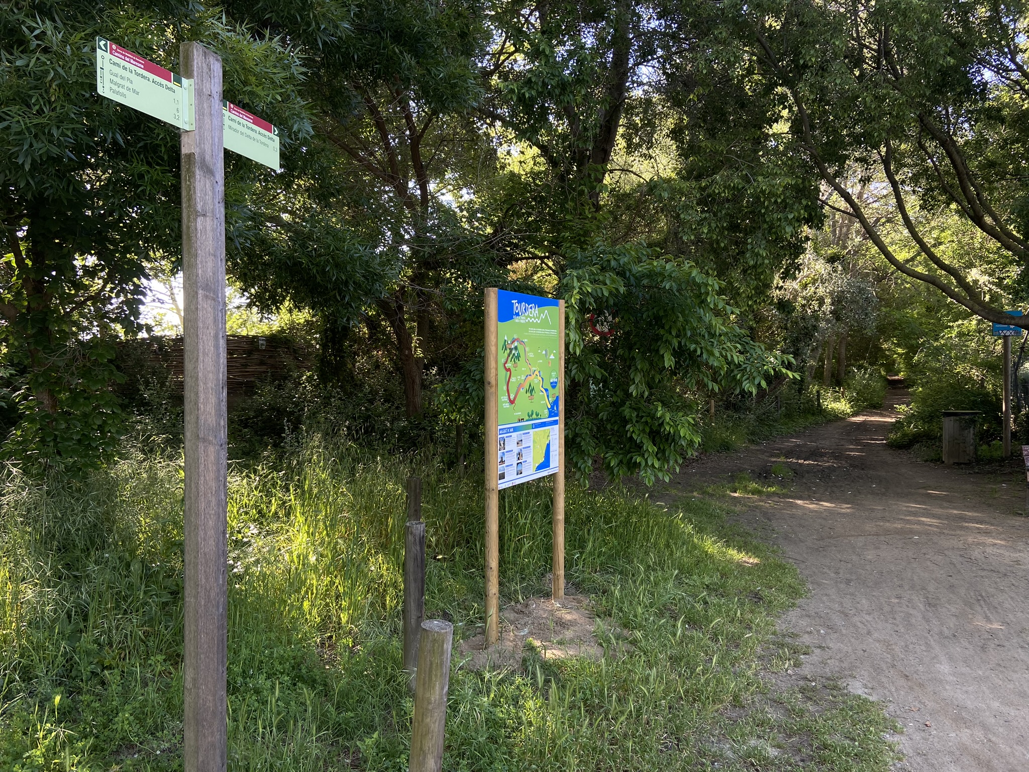
Before reaching the end of the s’Abanell promenade, the route enters the Els Pins neighbourhood and follows Vila de Madrid Avenue towards the River Tordera. Along this urban section, the small route signs are attached to streetlights or traffic signs. Outside the urban area, standard signs mounted on wooden posts are used.
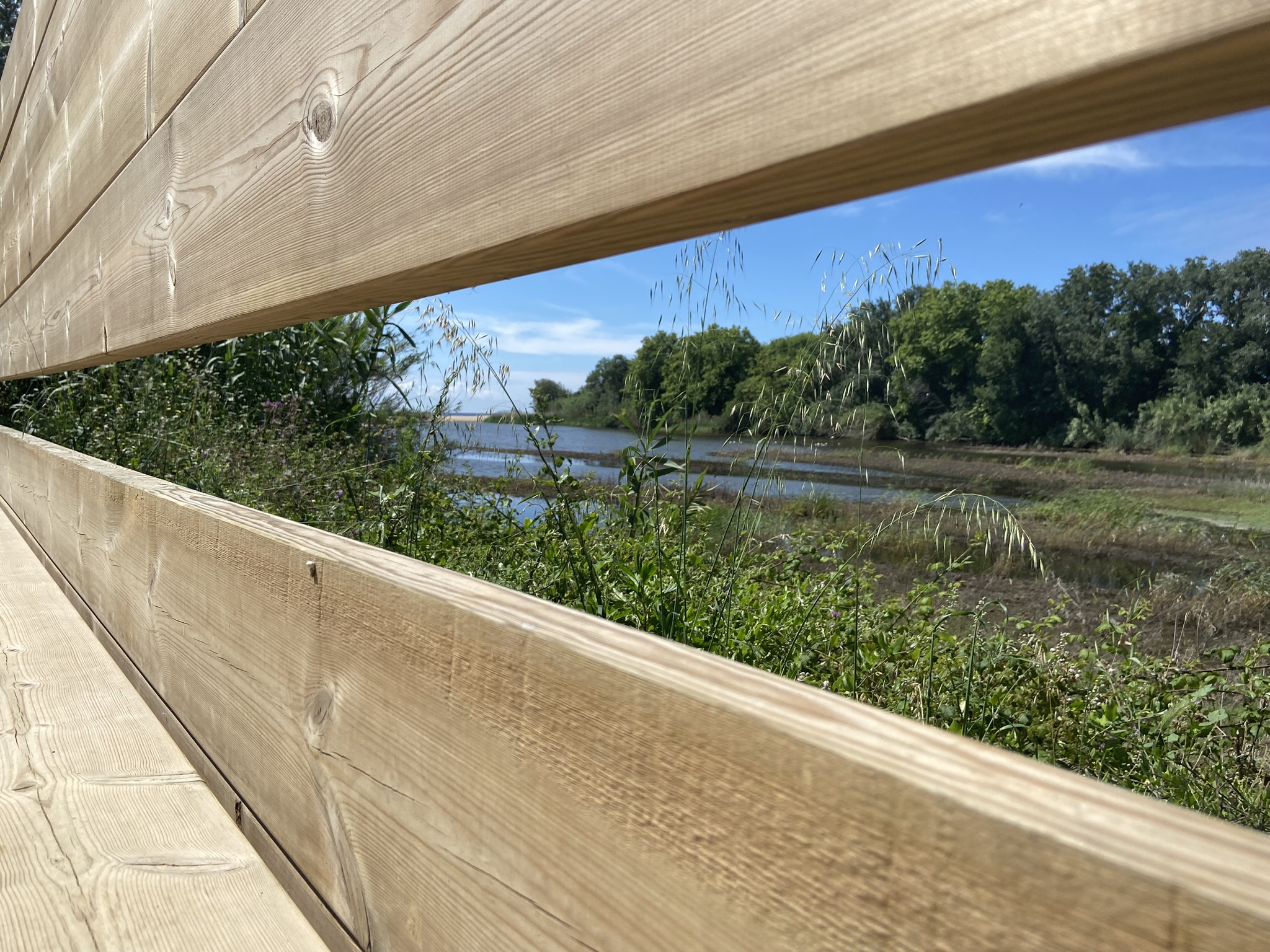
On reaching the river, a signpost indicates the optional detour to the mouth of the River Tordera. A lagoon forms here before the river flows into the sea. It supports a significant bird population that requires peace and quiet. You can observe the river mouth from the viewpoint at the end of the path.
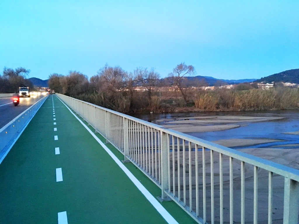
After returning to the main route, follow the track parallel to the river until you reach the road between Palafolls and Blanes. A ramp and signpost indicate the way to the bridge, where you can cross the river safely and completely separated from road traffic. On the other side, another ramp leads down to the lower track. Follow the sign towards Malgrat de Mar, downstream along the Tordera. A track then leads directly to the market gardens of the Tordera delta.
In the market garden area, take the paved track with the River Tordera on your left and the fields on your right. After a short distance, you will reach the Pla Ford, a crossing point on the Tordera riverbed marked by a signpost. Here, the route leaves the river and continues towards Malgrat de Mar along the El Pla and Mas Bages paths.
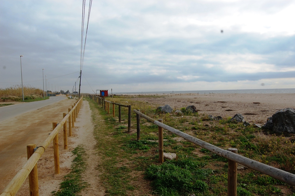
From this point, you can also take a 1.4 km detour to the river mouth and observe the lagoon from the viewpoint at the end of the path. After returning to the route, you will pass behind the beaches of Malgrat de Mar, where protected dune vegetation is enclosed by fencing. Do not enter these areas at any time (see the recommendations). This section ends at Malgrat de Mar railway station.
Option 2 (short: via the Tordera Bridge)
Option 2 also begins in front of Sa Palomera, the well-known landmark traditionally regarded as the starting point of the Costa Brava. More specifically, the route starts at Catalonia Square, beside the Tourist Office and the route information panel. A sign attached to the panel indicates the direction to follow.
For the first few hundred metres, the route follows the seafront promenade beside s’Abanell Beach. Walkers should remain on the promenade, while cyclists must use the cycle lane. Follow the route signposts and yellow painted markers. A stripe indicates the correct route, a cross marks the wrong direction and a 90-degree angle indicates a sudden change of direction or turn. This option is approximately one kilometre shorter than Option 1.
Before reaching the end of the s’Abanell promenade, the route enters the Els Pins neighbourhood and follows Vila de Madrid Avenue towards the River Tordera. Along this urban section, the small route signs are attached to streetlights or traffic signs. Outside the urban area, standard signs mounted on wooden posts are used.
On reaching the river, a signpost indicates the optional detour to the mouth of the River Tordera. A lagoon forms here before the river flows into the sea. It supports a significant bird population that requires peace and quiet. You can observe the river mouth from the viewpoint at the end of the path.
Return to the main route and follow the track parallel to the river until you reach the road between Malgrat de Mar and Blanes, where the Tordera Bridge is located. A signpost indicates the way to Malgrat de Mar using this shorter option. After crossing the bridge, take the first turning on the left and follow the paved path parallel to the river.
In the market garden area, with the River Tordera on your left and the fields on your right, you will soon reach the Pla Ford. Here, the route leaves the river and continues towards Malgrat de Mar along the El Pla and Mas Bages paths.
You can also take a 1.4 km detour to the river mouth and observe the lagoon from the viewpoint at the end of the path. After returning to the route, you will pass behind the beaches of Malgrat de Mar, where protected dune vegetation is enclosed by fencing. Do not enter these areas at any time (see the recommendations). This section ends at Malgrat de Mar railway station.
Details of the section
Bicycle | ||
|---|---|---|
Level | Easy | |
Distance | (Variant 1) 11,1 km (Variant 2) 10 km | |
Elevation + | (Variant 1) 8 m (Variant 2) 8 m | |
Elevation – | (Variant 1) 7 m (Variant 2) 9 m |
Hiking | ||
|---|---|---|
Level | Easy | |
Distance | (Variant 1) 11,1 km (Variant 2) 10 km | |
Elevation + | (Variant 1) 8 m (Variant 2) 8 m | |
Elevation – | (Variant 1) 7 m (Variant 2) 9 m |