More information about this section…
PLEASE NOTE: PART OF THIS SECTION IS CURRENTLY CLOSED.
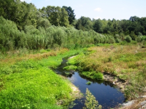
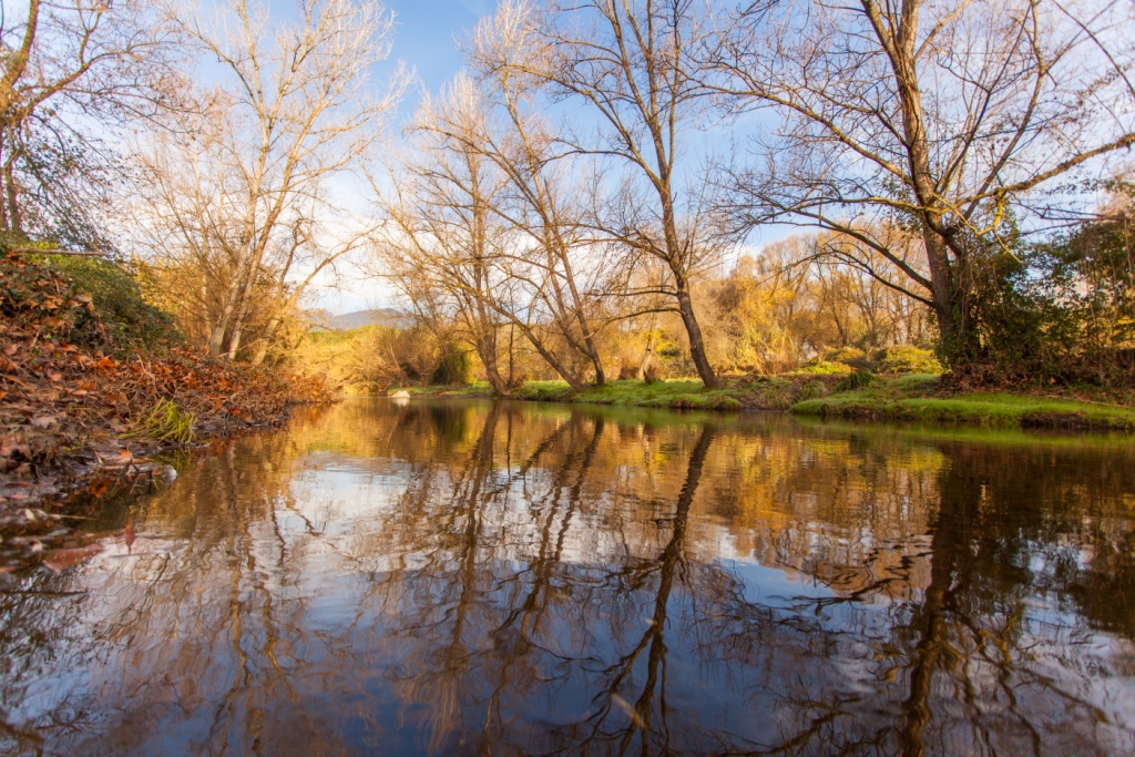
The Tourdera section between La Batllòria and Gaserans is a moderately difficult, 12.5-kilometre route. It connects La Batllòria with Sant Llorenç de Gaserans, in the municipality of Sant Feliu de Buixalleu. This fairly flat route has a total ascent of 69 metres and showcases the natural heritage of the banks of the River Tordera, the lower course of the Arbúcies stream—part of the PEIN and Natura 2000 protected-area networks—and the Les Llobateres wetland.
You can also take a short signposted detour to the Perxistor Pool. A memorial marks the former pool where, according to tradition, Ramon Berenguer II, known as the Towhead, was murdered by his brother Berenguer Ramon, known as the Fratricide.
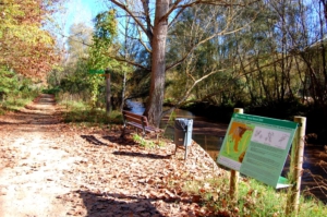
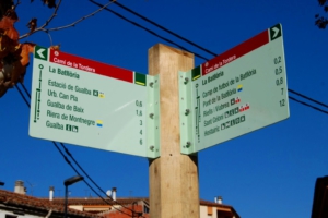
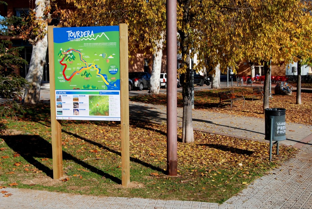
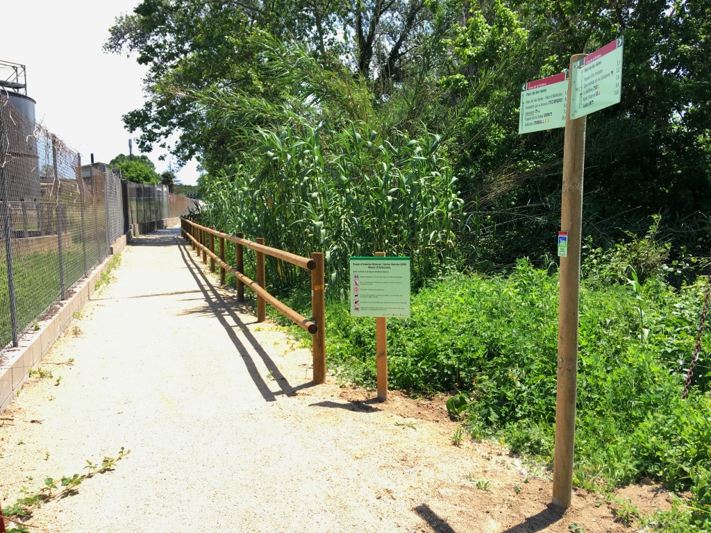
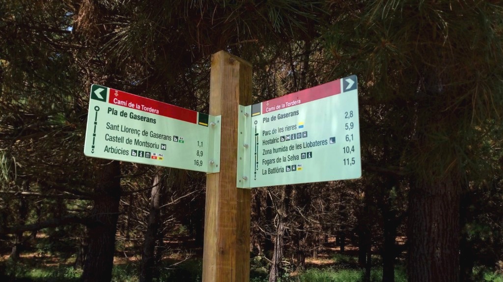
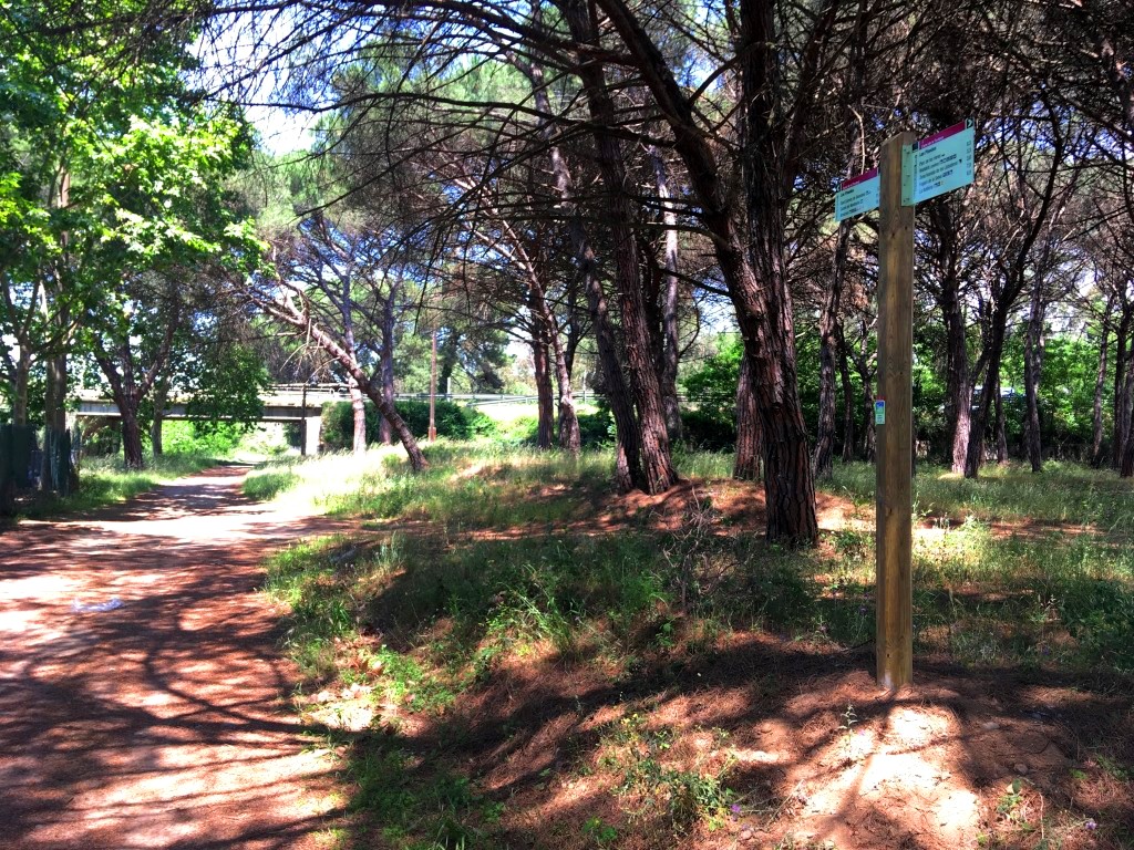
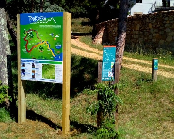
The starting information panel is in La Batllòria, between Tordera Street and School Street, in an area with parking. Follow the signs downhill towards the football ground and the River Tordera. After crossing the footbridge, turn left onto the main route towards Hostalric. Always pay attention to the directional signs and yellow painted markers.
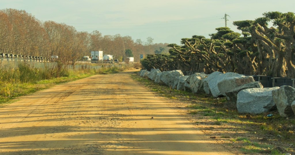
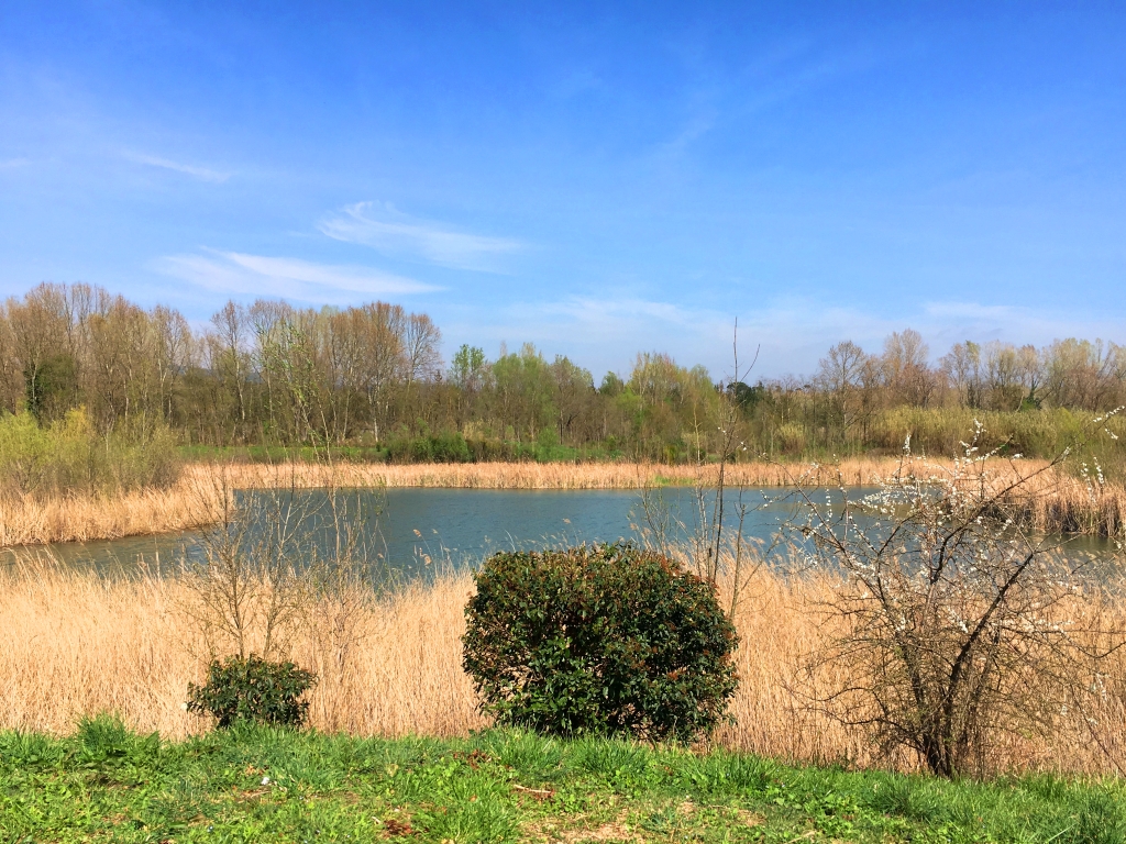
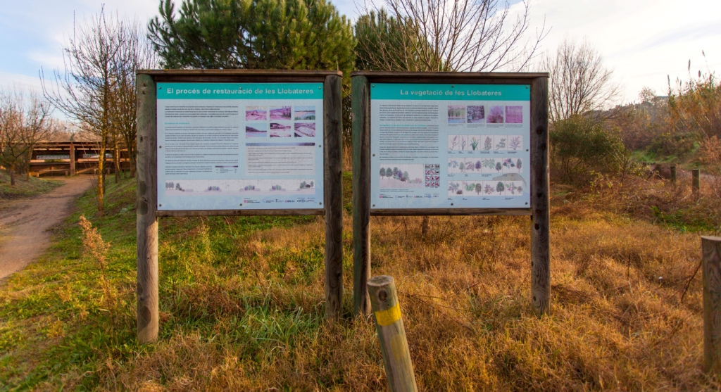
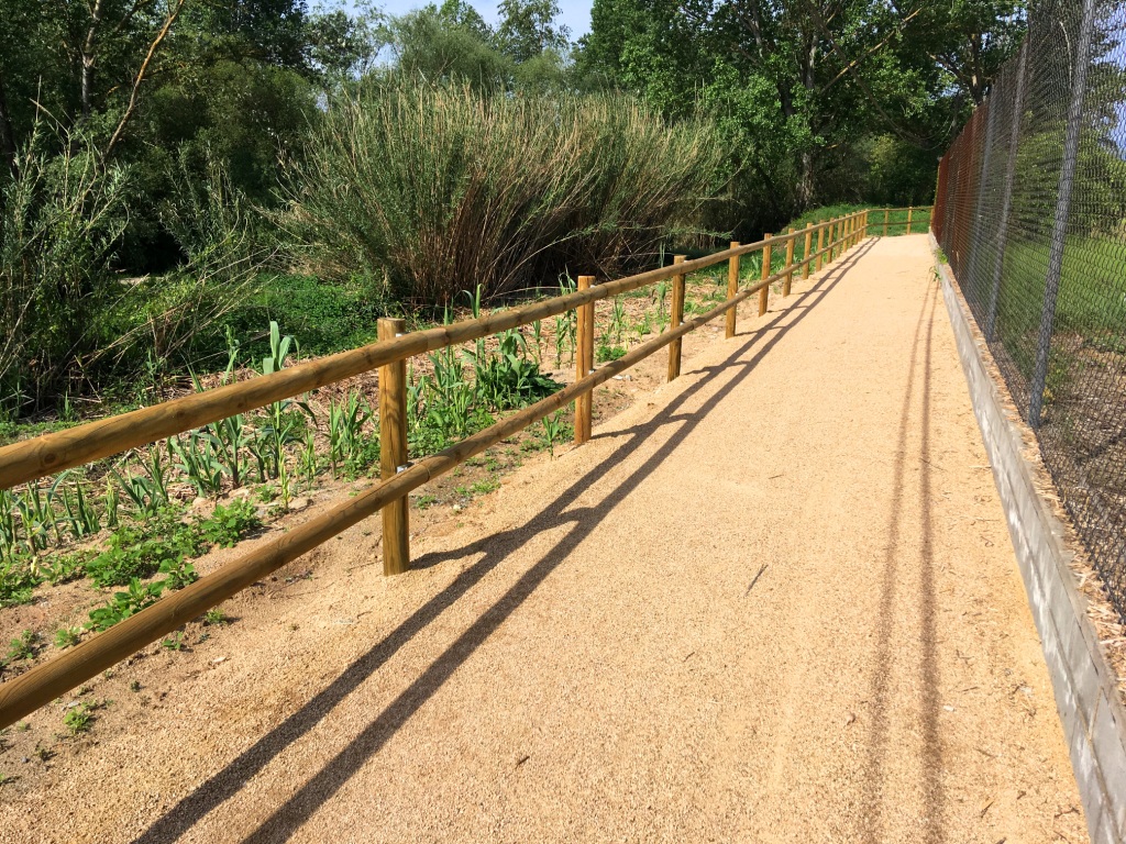
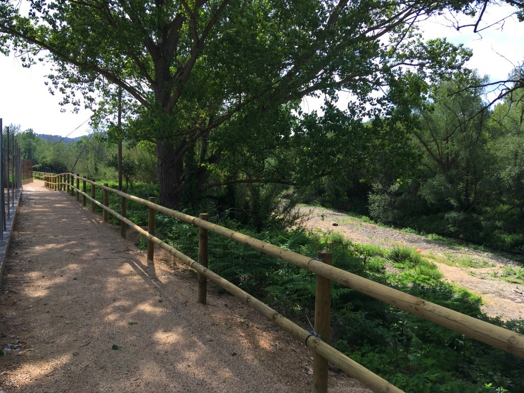
For much of the route, you will follow the River Tordera, although the path moves slightly away from it in places. Approximately halfway along the section, you will pass the Les Llobateres wetland, a former aggregate quarry restored as a natural wetland. Birdwatching hides provide opportunities to observe the local birdlife.
After completing approximately three quarters of the route, you will reach the Arbúcies stream shortly before it flows into the River Tordera. Here, leave the main Tourdera itinerary and take the branch following the Arbúcies stream, using the vertical signs towards Gaserans.
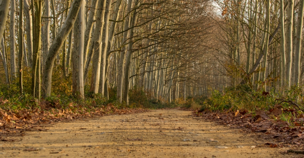
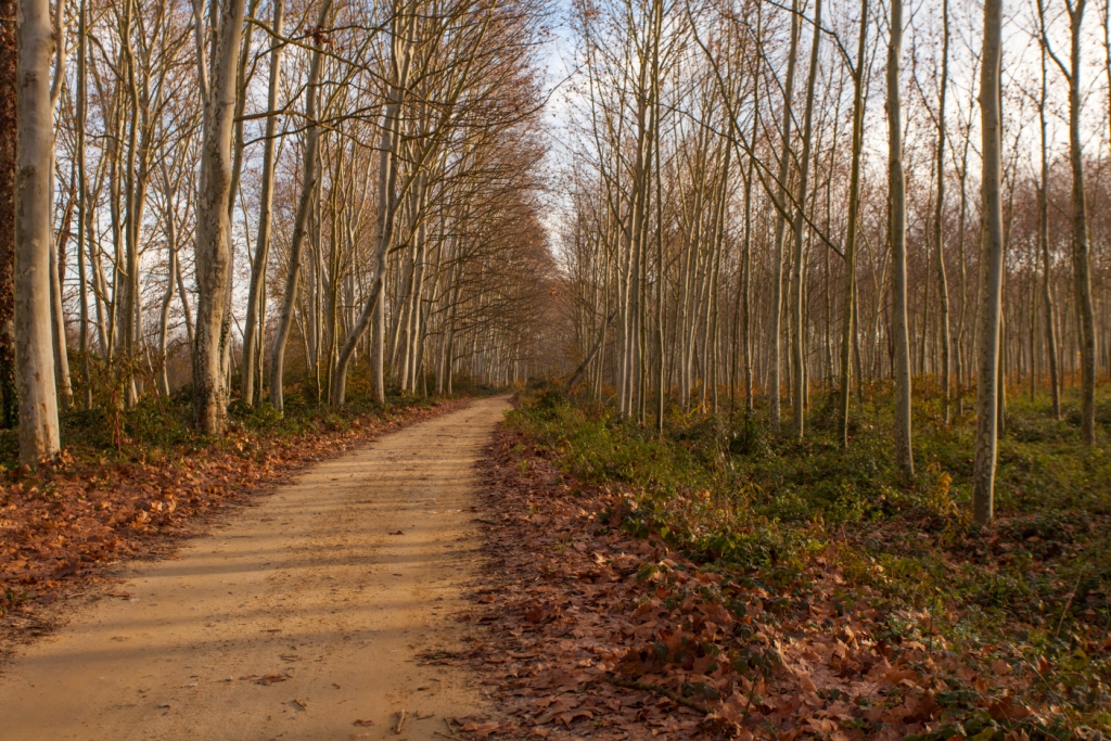
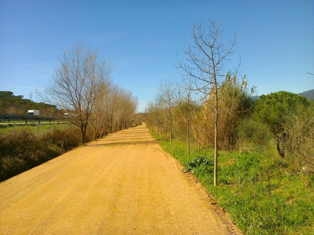
Most of the route from La Batllòria follows forest tracks. During the final section, take a paved road which, despite carrying very little traffic, requires particular care. After approximately one kilometre, you will reach the church of Sant Llorenç de Gaserans, where the section ends.
Remember that no services are available in Gaserans. Plan the route carefully and carry everything you need before setting off.