The section between La Batllòria and Riells i Viabrea is a very easy route for both cyclists and hikers, running between the village of La Batllòria and the Town Hall of Riells i Viabrea, in Can Salvà. It is a signposted route of 2 kilometres, with no elevation gain and a very low level of difficulty.
The section between La Batllòria and Riells i Viabrea is a very easy, completely flat route just under 2 kilometres long. It connects La Batllòria with Riells i Viabrea Town Hall, located at Can Salvà.
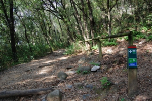
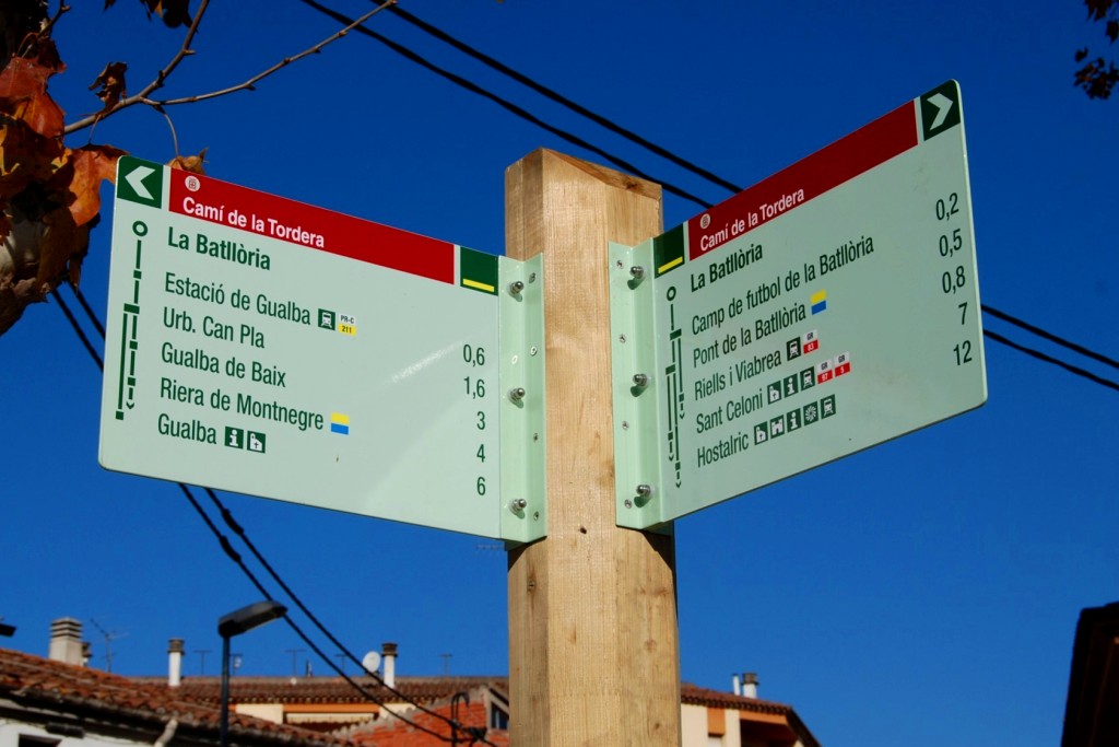
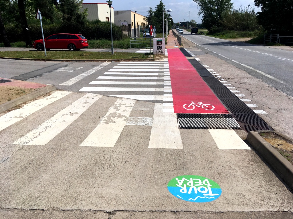
Simply follow the route signs. These may be standard signs mounted on wooden posts or smaller signs attached to existing structures, such as streetlights and traffic signs, particularly in urban areas. You will also find yellow painted trail markers. They use the standard code for marked routes: a stripe indicates the correct route, a cross marks the wrong direction and a 90-degree angle indicates a sudden change of direction or turn.
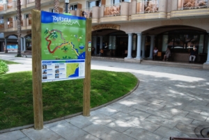
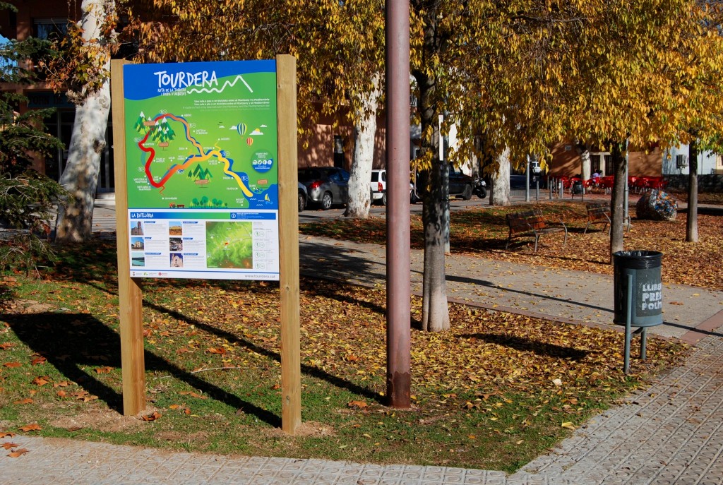
The section begins at the junction of Tordera Street and School Street, where you will find the route information panel. Several parking options are available nearby. Follow the signs down Tordera Street to the football ground. Here, a sign indicates the branch towards Riells and Breda and leads to Royal Road Street.
Continue along Montnegre Street to the Church of Our Lady of Hope and then head directly towards Riells. A safe underpass takes you beneath the C-35. If travelling by bicycle, a small ramp beside the steps allows you to wheel your bicycle down.
After crossing beneath the road, you will enter the municipality of Riells i Viabrea. Continue along Santa Fe Street, use the underpass beneath the railway tracks and then take Railway Avenue on the other side. This road runs parallel to the railway and leads directly to the Town Hall.
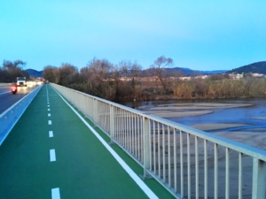
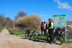
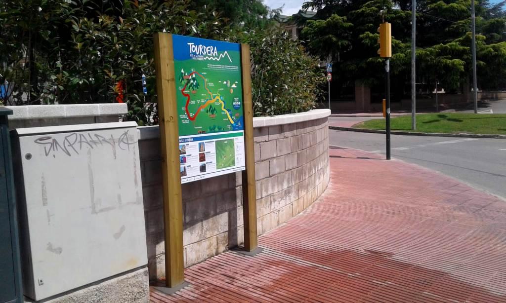
Along the final section, several improvements have been made to the road surface to increase safety, particularly painted markings and vertical warning signs for motorists. The section ends at the Town Hall, where you will find the route information panel beside the road.