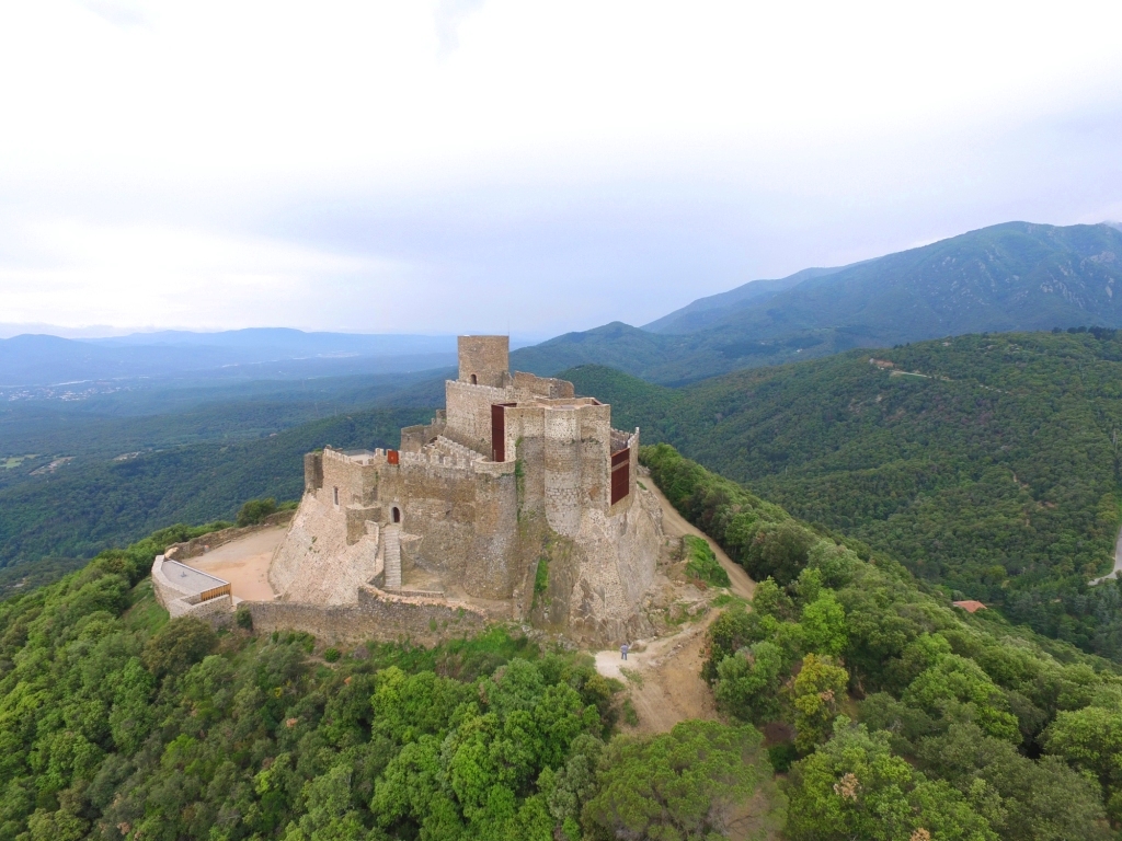
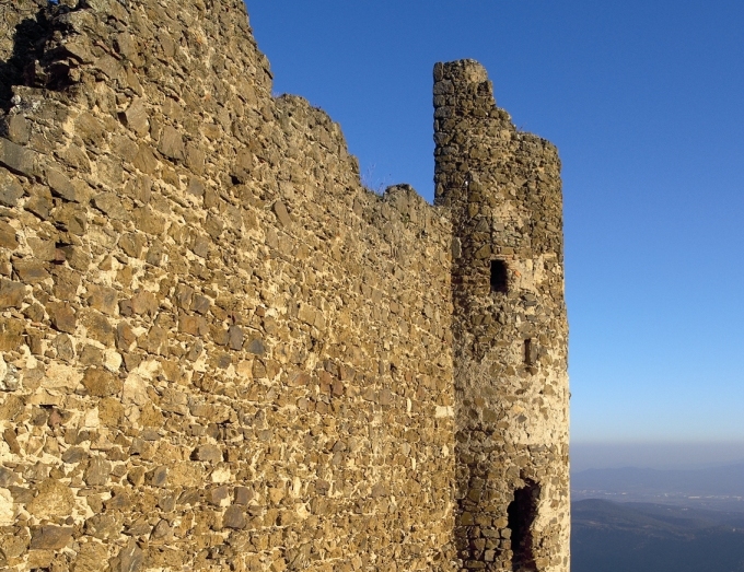
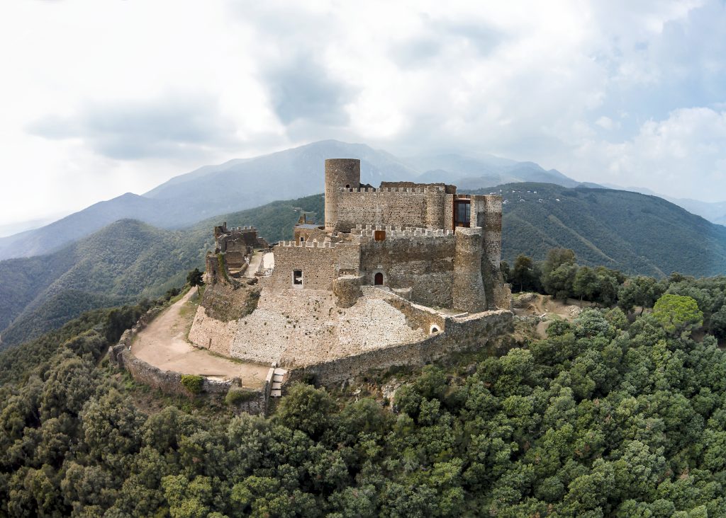
The Tourdera section between Castell de Montsoriu (Montsoriu Castle) and Arbúcies is a moderately demanding section, covering 8 km if you follow the variants exclusively for hikers, or 13 km if you take the paths suitable for bicycles. The accumulated positive elevation gain is 178 m for hikers and 328 m for cyclists. At the start of the section, you can begin with a visit to the castle and enjoy the beautiful views from the top of the hill, while at the end of the route, the town of Arbúcies awaits you, with plenty to offer. Please note that there are variants exclusively for hikers where access by bicycle is prohibited.
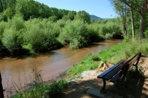
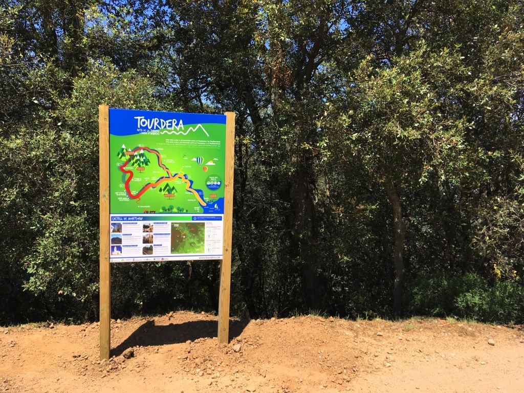
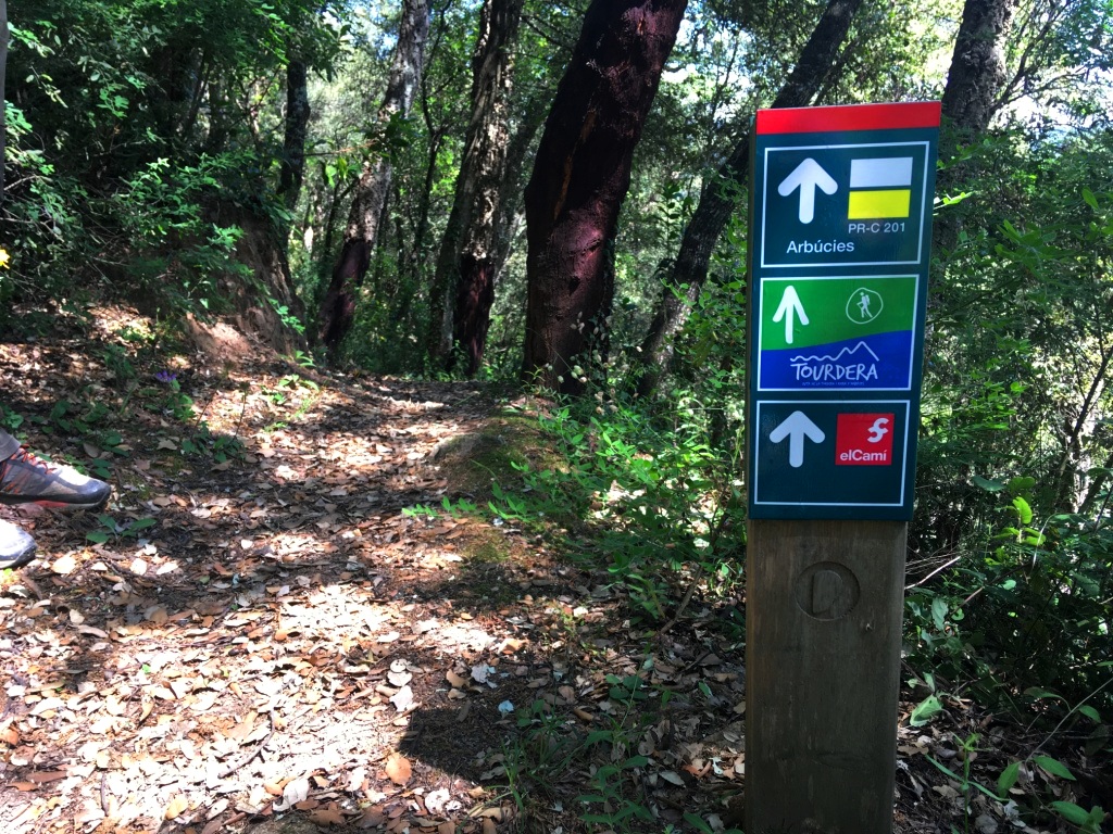
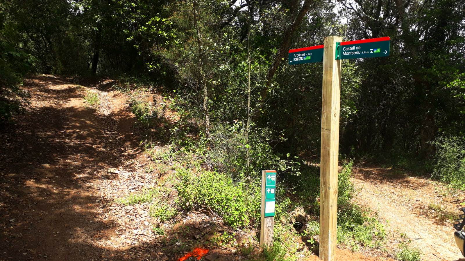
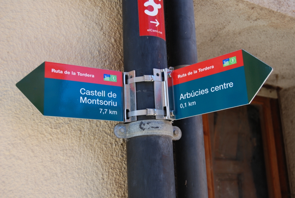
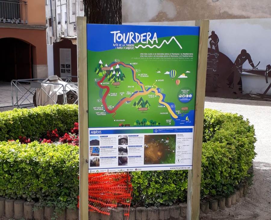
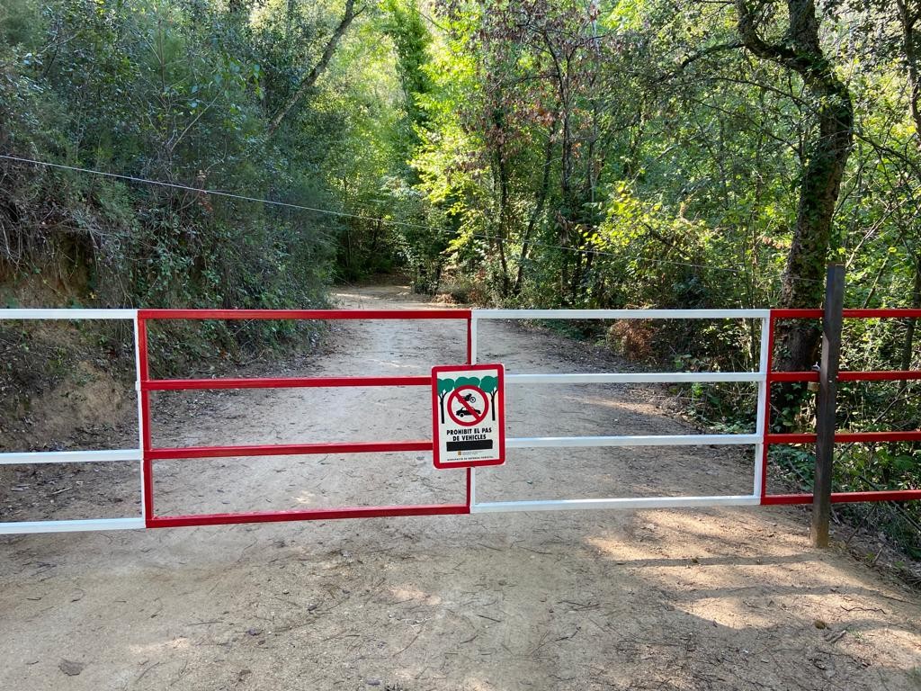
At the beginning of the section, at Castell de Montsoriu (Montsoriu Castle), you will find parking at the foot of the hill (Coll de Castellar), but you will not be able to drive up to the castle, as this is prohibited. You will need to go up following the marked route: for bicycles, this is a track where you will find a barrier to prevent cars from passing through; for hikers, it is a very interesting path through the forest. In any case, both routes are signposted and are easy to follow. To head towards Arbúcies and continue the section, you will also find all the relevant signs, and the Tourdera image will guide you throughout the route. Finally, remember that you can follow the route and enjoy a walk through a natural and protected environment (Parc Natural del Montseny), but always without leaving the signposted path and while respecting the local flora and fauna at all times.
Cycling variant
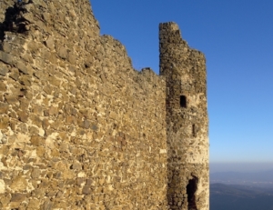
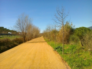
The cycling section is longer than the hiking route, with a total length of 13 km. It includes an accumulated uphill elevation gain of 328 m and an accumulated descent of 641 m, so it should also be considered a section of moderate difficulty. As with the hiking variant, the route starts at Castell de Montsoriu (Montsoriu Castle). Therefore, if you have arrived by car, you will need to park in the car park at the foot of the hill (Coll de Castellar) and go up to the castle. Once at the top, you can take the opportunity to visit it (for more information, please check the castle website) or, above all, enjoy the panoramic views of the surrounding area.
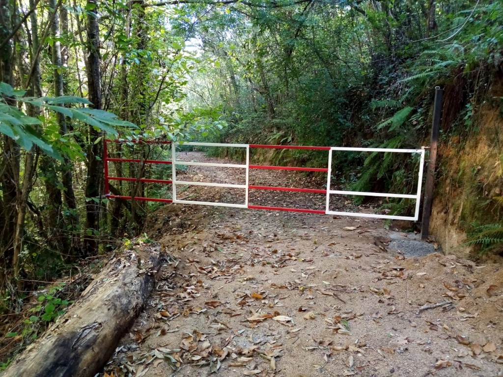
IMPORTANT: shortly after descending from Turó de Montsoriu, specifically around Turó de la Geneta, you will come across a barrier designed to prevent motor vehicles from passing through. This barrier has an opening through which you can pass with your bicycle and continue along the route without any problem. You can see an image of the barrier in the image gallery.
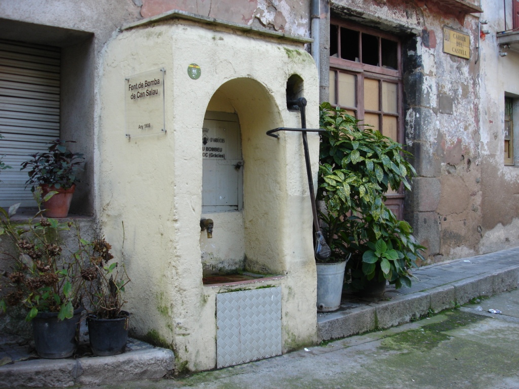
Please note that shortly before reaching the urban centre of Arbúcies, you will need to ride along a 360-metre section of the GI-552 road, where traffic volume is higher and you should take all necessary precautions. Once past this point, you will enter Arbúcies along Passeig de Palacagüina, which will take you directly to the centre of Arbúcies. There you will find accommodation, shops, restaurants and other services, as well as interesting municipal facilities such as La Gabella Museum (the Montseny ethnological museum), among others.
Hiking variant
The Tourdera section from Castell de Montsoriu (Montsoriu Castle) to Arbúcies for hikers is of moderate difficulty. It is 8 km long, with an accumulated uphill elevation gain of 178 m and an accumulated descent of 477 m. The route starts at the information panel located at Castell de Montsoriu (Montsoriu Castle), so if you arrive by car, you will need to park at Coll de Castellar, where there is a public car park. From there, you will have to walk up to the castle, where you can take the opportunity to visit it (for more information, please check the castle website) and, above all, enjoy the panoramic views it offers of the surrounding area. Following the signs at the top, marked with wayfinding posts, you will begin the route towards Arbúcies along a forest path, signposted with route markers.
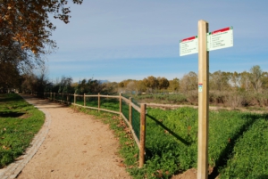
Most of this section runs through wooded landscapes, often cork oak forests, until shortly before reaching Arbúcies, around El Morer, where you will cross hay meadows with interpretive panels. These habitats, as you will be able to learn, are very interesting in terms of biodiversity, as they are home to a large number of species, some of which are uncommon. As throughout the route, it is important that you do not leave the path and follow the recommendations for respecting nature.
At the end of the section, you will reach Arbúcies, where you will find accommodation, shops, restaurants and other services, as well as interesting municipal facilities such as La Gabella Museum (the Montseny ethnological museum), among others.