Section Tourdera Gaserans – La Batllòria
Description of the section
ATTENTION: SECTION PENDING SIGNPOSTING BUT OPERATIONAL
The Gaserans – La Batllòria section is an easy trail, 9.98 kilometers in length with an elevation gain of just 29 m. The section starts at the church of Sant Llorenç de Gaserans, in the municipality of Sant Feliu de Buixalleu, and finishes in La Batllòria, a small village belonging to the municipality of Sant Celoni, where a few services are available, such as bar-restaurants, shops, etc. This is a shared section for both hikers and cyclists.
At the start of the section, parking is available around the church of Gaserans, where you will also find the trail information board. To begin the route, head towards the road from Gaserans to the Ducat del Montseny residential area, which you will follow for 1.8 km until just before the High-Speed Railway (TAV) line. These first meters of the route run along this paved road with very low traffic. Once past the High-Speed line, you will walk a few meters through the Sant Feliu de Buixalleu industrial estate and reach the Tordera River, which you will cross in the direction of La Batllòria. Always remember not to stray from the designated path and to respect the local flora and fauna at all times.
More information about this section…
PLEASE NOTE: PART OF THE SECTION, BETWEEN GASERANS AND THE TORDERA RIVER, IS CURRENTLY PENDING SIGNPOSTING, ALTHOUGH YOU CAN COMPLETE IT WITHOUT ANY ISSUES
The section of the Tourdera trail from Gaserans to La Batllòria is a 9.98-kilometer walk with only 29 m of elevation gain. It is therefore an easy route that will lead you to the Tordera River, which you will follow while enjoying all its natural heritage. The route begins at the information board next to the church of Sant Llorenç de Gaserans, where parking is available. Keep in mind that there are no services nearby, so make sure to come fully prepared before starting the trail. From the church, taking the direction toward the road, head toward the Sant Feliu de Buixalleu industrial estate.
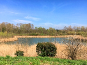
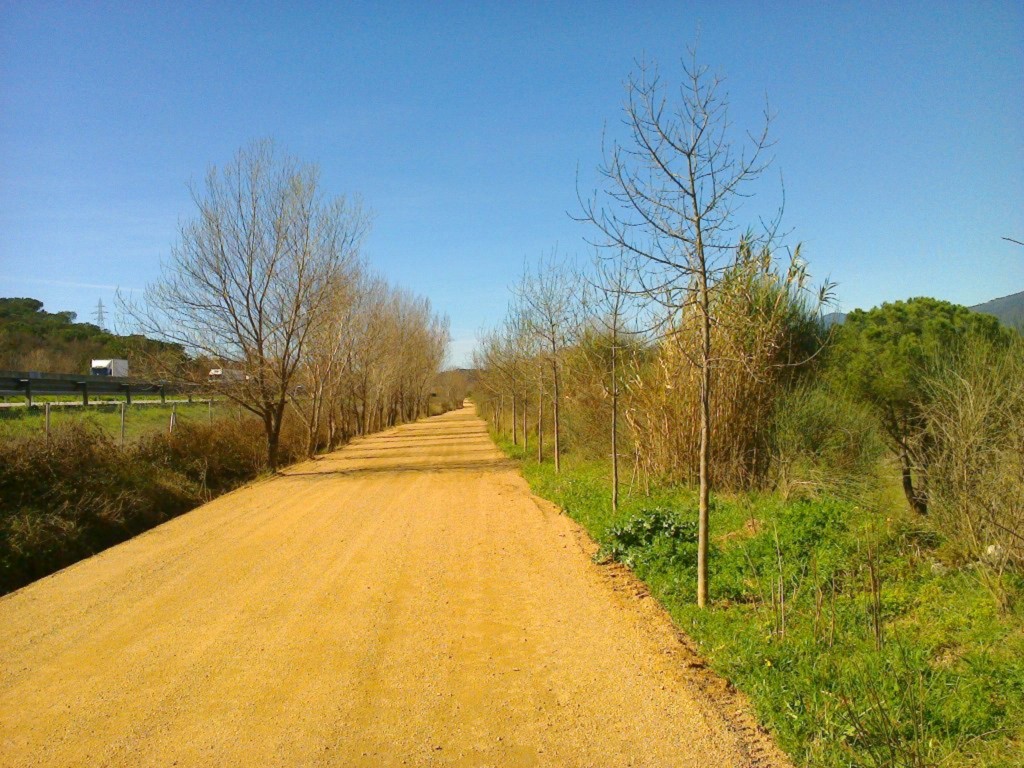
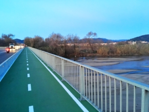
As for the terrain, the first part of the itinerary follows a paved road with very light traffic, which you will leave after approximately 1.8 km to take a forest track running parallel to the High-Speed Railway. Further along, you will reach the Sant Feliu de Buixalleu industrial estate, which you will quickly cross to reach the Tordera River. You will then cross the river via a footbridge and continue toward La Batllòria, always along the riverbank. From this point, you will follow a path right beside the Tordera River, passing through poplar groves, the Llobateres wetland, olive groves, etc., almost entirely along forest tracks, until reaching the footbridge leading to La Batllòria. At that point, you will see a directional marker (banner) and should cross the footbridge over the Tordera River, which in just a few meters will bring you into La Batllòria, where you will find some bar and restaurant options.
Details of the section
Bicycle | ||
|---|---|---|
Level | Easy | |
Distance | 9,9 km | |
Elevation + | 29 m | |
Elevation – | 64 m |
Hiking | ||
|---|---|---|
Level | Easy | |
Distance | 9,9 km | |
Elevation + | 29 m | |
Elevation – | 64 m |