More information about this section…
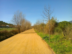
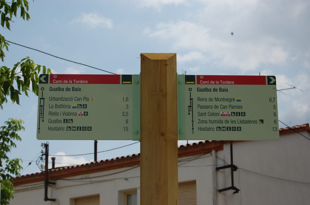
This section of the Tourdera route, between Gualba and La Batllòria, is shared by walkers and cyclists almost throughout, except for the first few metres when leaving the village. In front of Gualba Town Hall, you will find a panel containing information about the route and its points of interest.
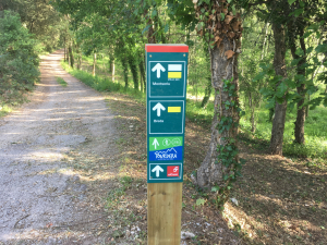
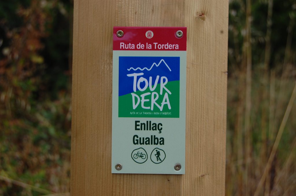
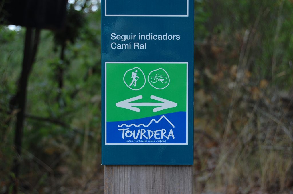
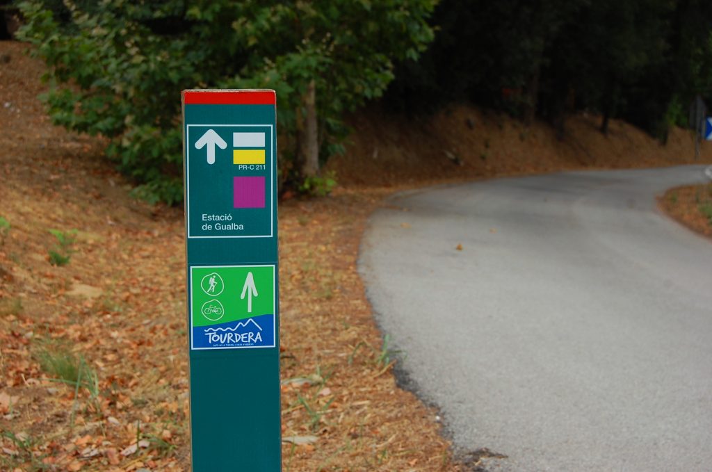
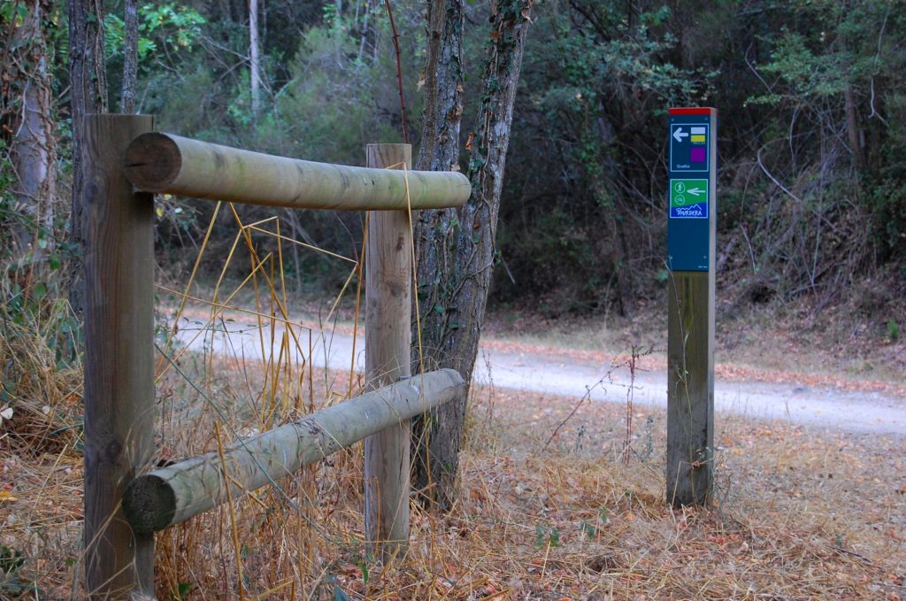
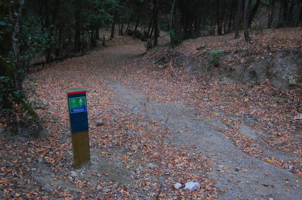
The route is 6.3 kilometres long, with a total descent of 105 metres, making it a very easy section. At the starting point, a directional sign indicates the paths for cyclists and walkers. The two routes remain almost parallel for the first 600 metres. Much of the itinerary follows the Gualba Royal Road and the PR-C 211 trail between the village and the railway station. Tourdera markers therefore appear alongside those of these routes.
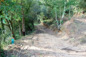
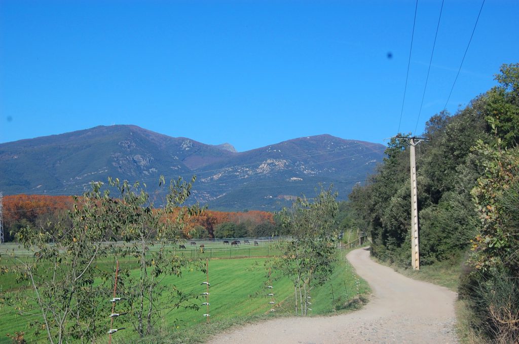
After leaving the village, near the Primary Healthcare Centre (CAP), the route enters a green area running parallel to the stream. During the first section, you will cross the Gualba stream through an area of considerable scenic interest. The forest track passes Les Cases Blanques and Can Joan Vernedes before reaching the junction with the old Gualba Royal Road.
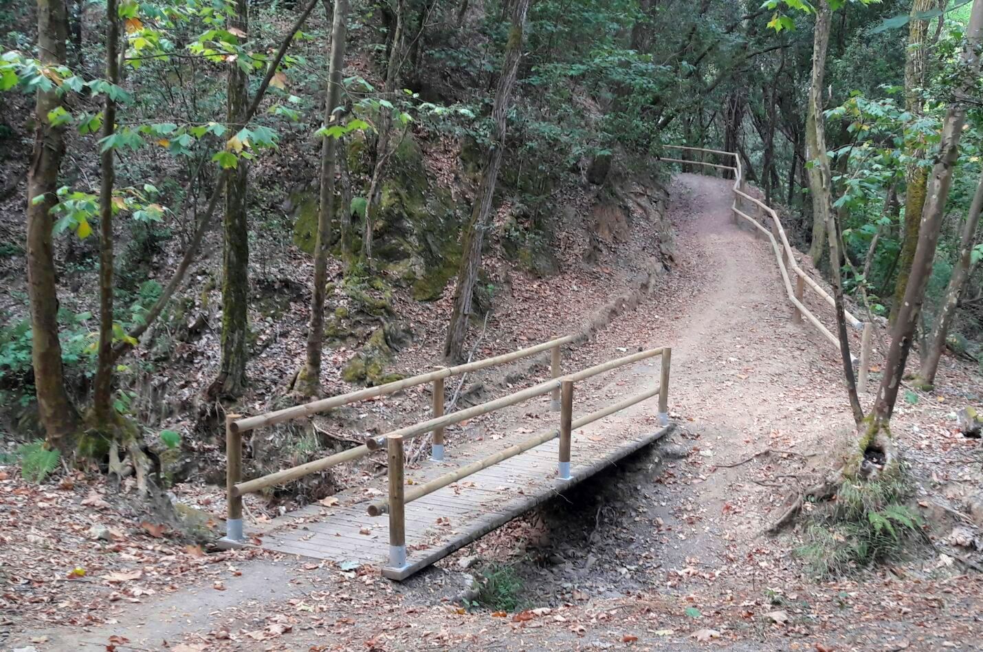
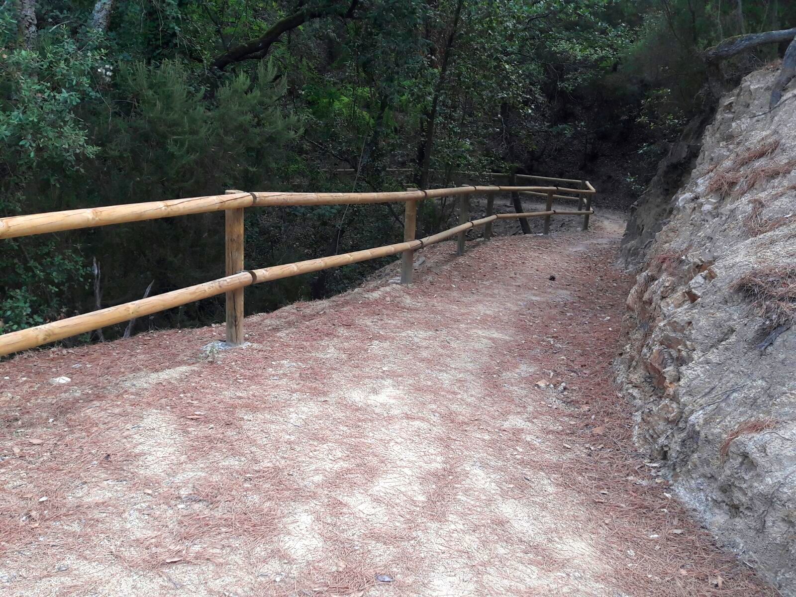
From this point, the route follows a fairly wide path and crosses the Can Sivina stream on a footbridge with railings. This is a particularly attractive section, well shaded by the tree canopy.
The route then continues towards Rieral de la Barceloneta. Here, forest tracks connect several farmhouses, including Can Pere Maimó, Vil·la Maria and Can Cortina. You will also find Restaurant Can Pascual, which has a picnic area, and Hotel Masferrer at Can Masferrer. This section therefore offers several useful services, including a bar, a picnic area and a hotel.
Continuing in the same direction, you will reach the BV-5115 near the entrance to the Can Pla residential area. A sign indicates the route towards La Batllòria and the railway station. From here, you can also take a detour to Gualba de Baix, which belongs to the municipality of Gualba and lies beside the River Tordera.
If you continue towards La Batllòria, you will reach Gualba railway station. Take care, as parts of the route run alongside the BV-5115 and the station access road. At the station, use the underpass to cross beneath the railway tracks. On the other side, follow the signs to La Batllòria, which belongs to the municipality of Sant Celoni. A variety of bars and restaurants are also available there.