More information about this section…
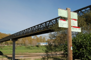
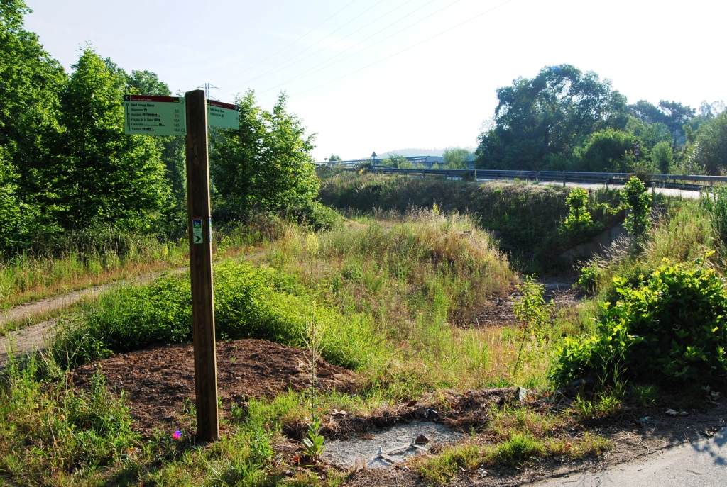
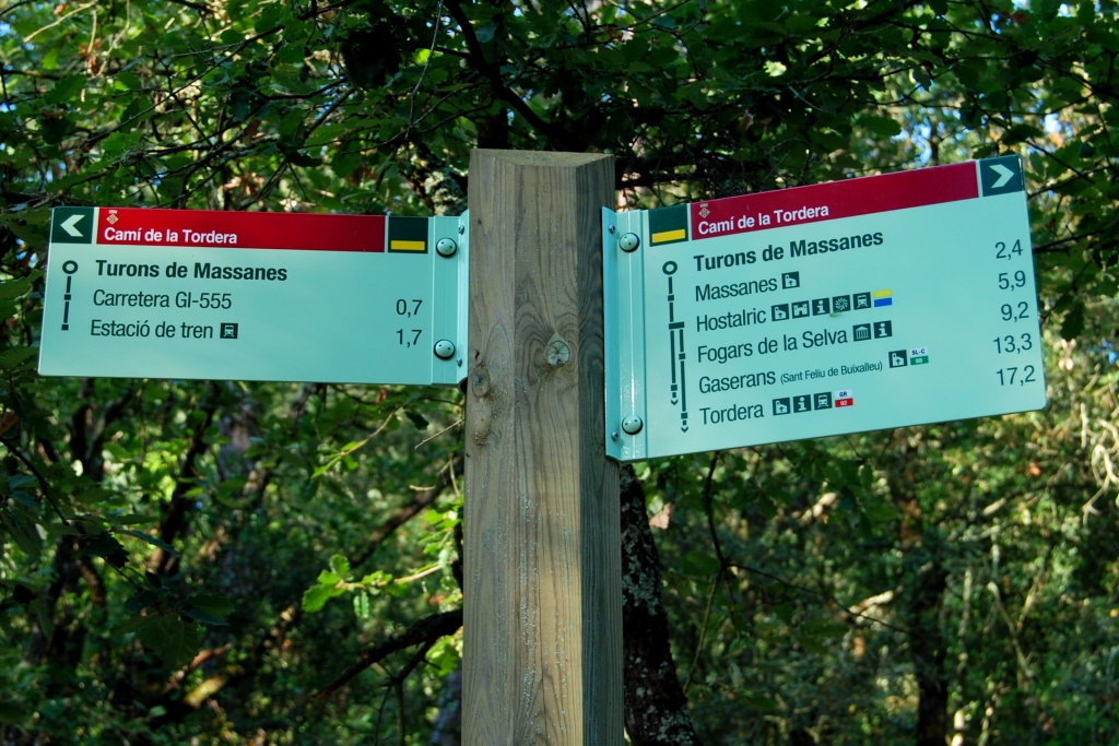
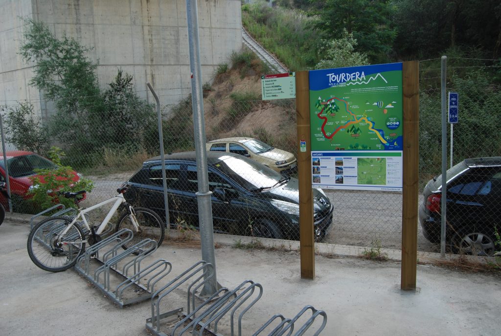
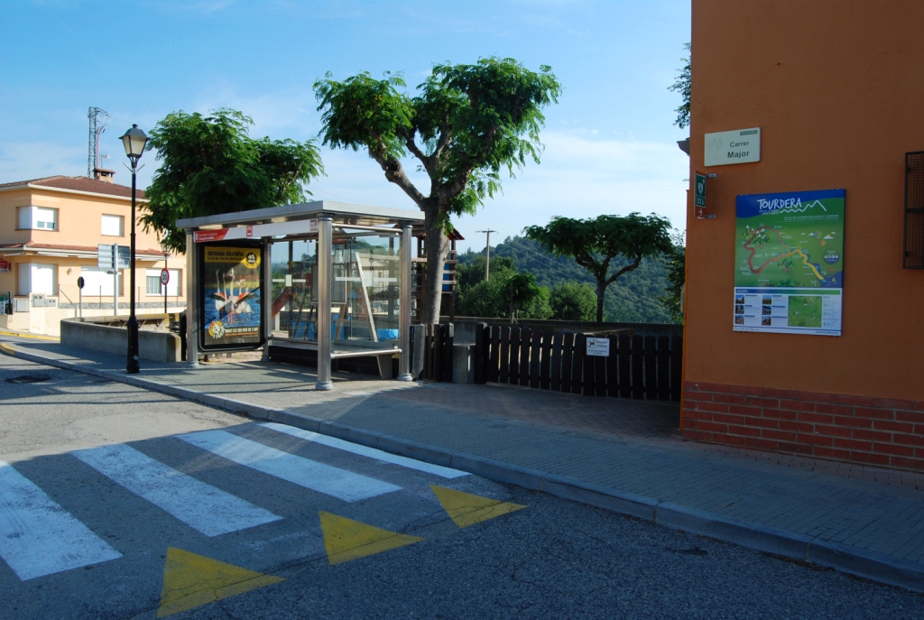
From the village of Massanes, you can reach Maçanet–Massanes railway station by following the Tordera Route. Specifically, the section begins at the municipal warehouse, located on Main Street, just at the entrance to the village from the GIV-5121 road. At this point, where you will find the route information panel, you should follow the signs towards the railway station indicated on the small urban wayfinding signs, or alternatively follow the yellow route markers that you will find throughout the itinerary. Along the entire route, you will find wayfinding signs and yellow painted markers following the standard hiking system: a single line indicates that you are on the correct path, a cross indicates that you are on the wrong path, and a 90° angle mark indicates a sudden change of direction or a turn.
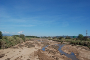
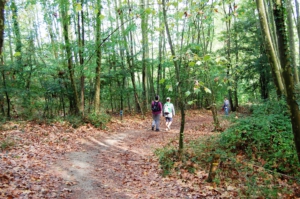
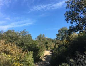
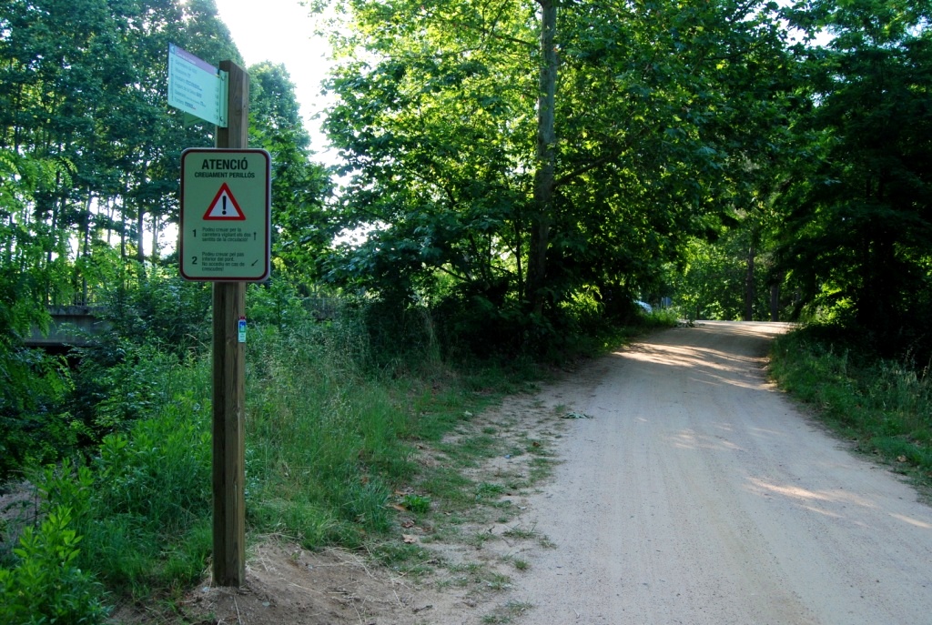
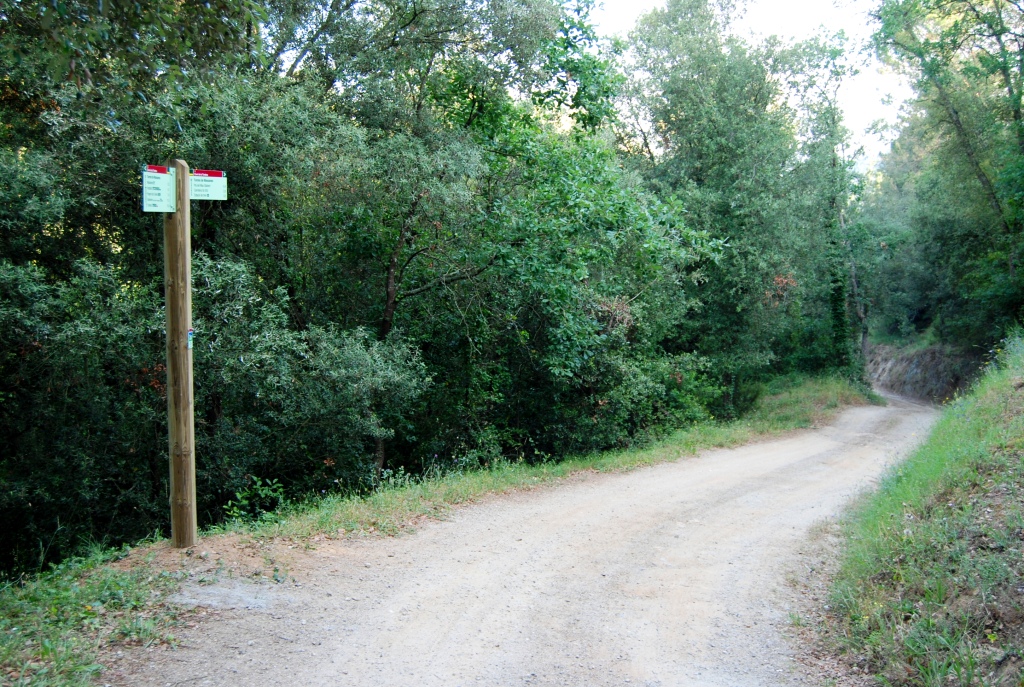
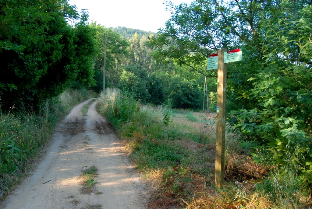
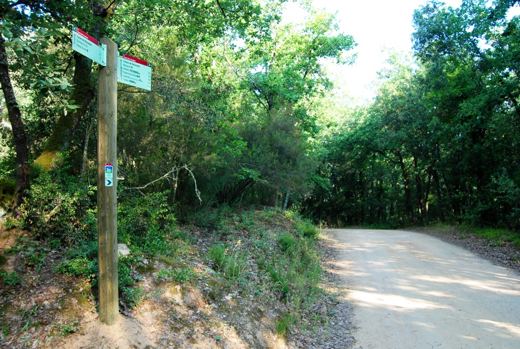
Following the route, you will first take the road leading to the Cambrerol neighbourhood as far as the turning towards Mas Coll, where you will find a wayfinding sign. From this point onwards, you will follow a forest track that leads through the surrounding woodland to the Water Treatment Plant, located beside the Massanes Stream, where you will join another track, also signposted with a wayfinding marker. From there, you will continue along another forest track through wooded surroundings on a pleasant walk, passing in front of Can Ramilans until you reach the GI-555 road. At this point, as indicated by the existing signage, you may cross the road at ground level, taking great care with traffic, or you may follow a short alternative route along the Massanes Stream, using the GI-555 road bridge that crosses the stream. Please note that this alternative route must not be used during periods of flooding.
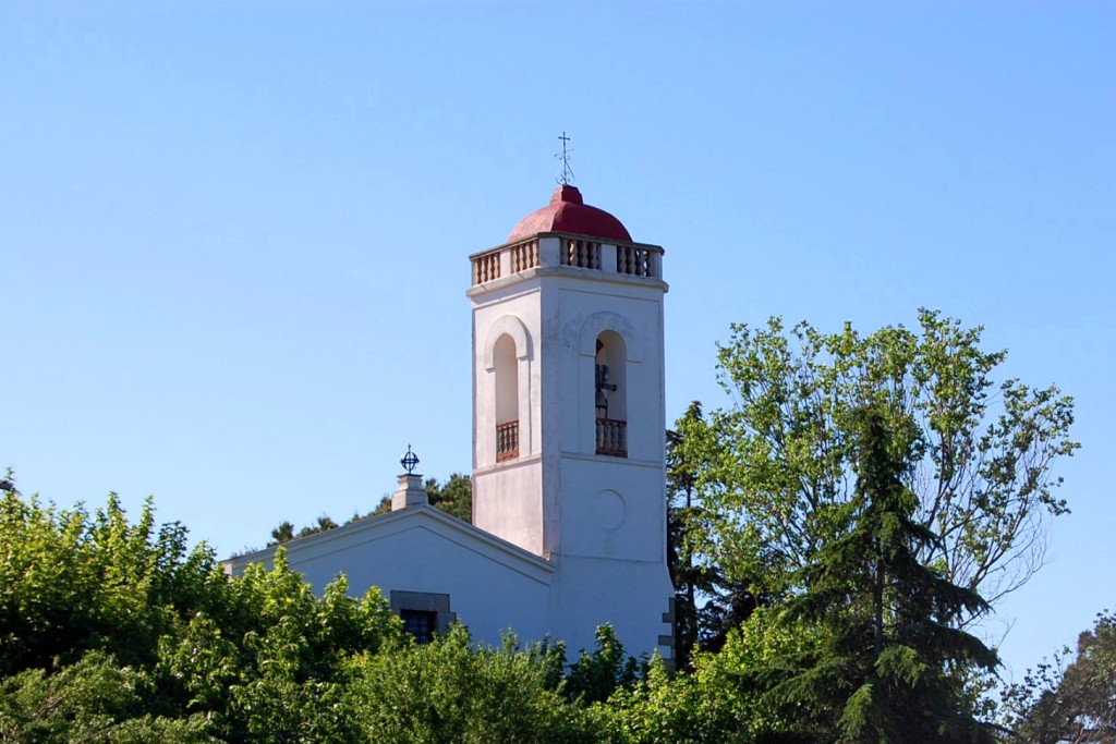
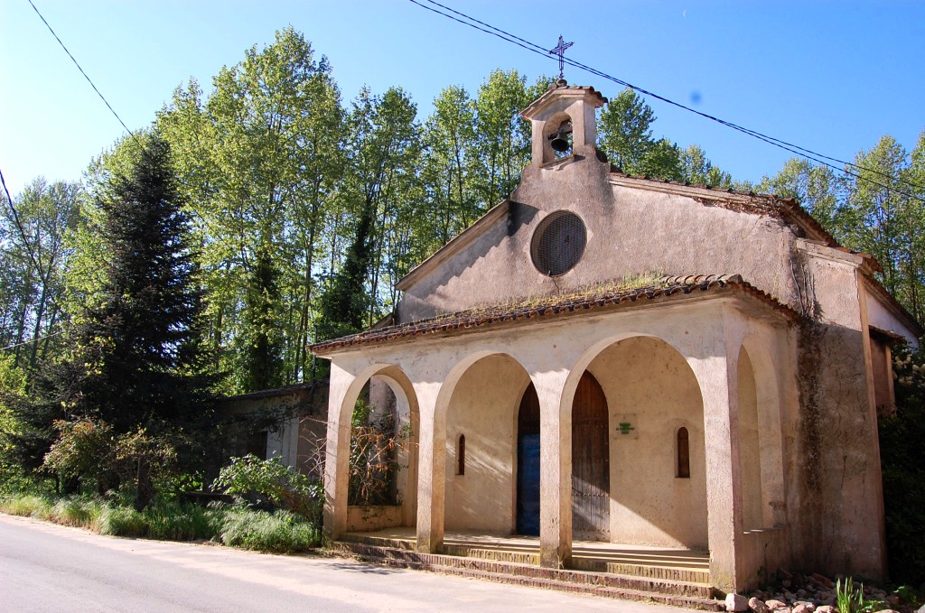
Once you have crossed the road, only about 950 metres remain until you reach the railway station. Before arriving, you will pass the Church of Sant Josep Obrer and cross over the railway tracks using an overpass, following a recently paved road that is shared with vehicles.