More information about this section…
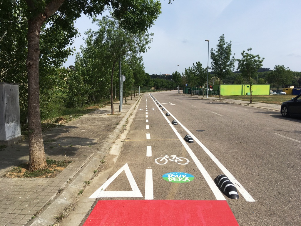
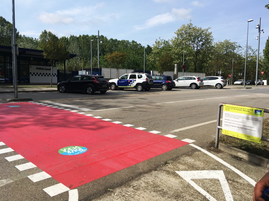
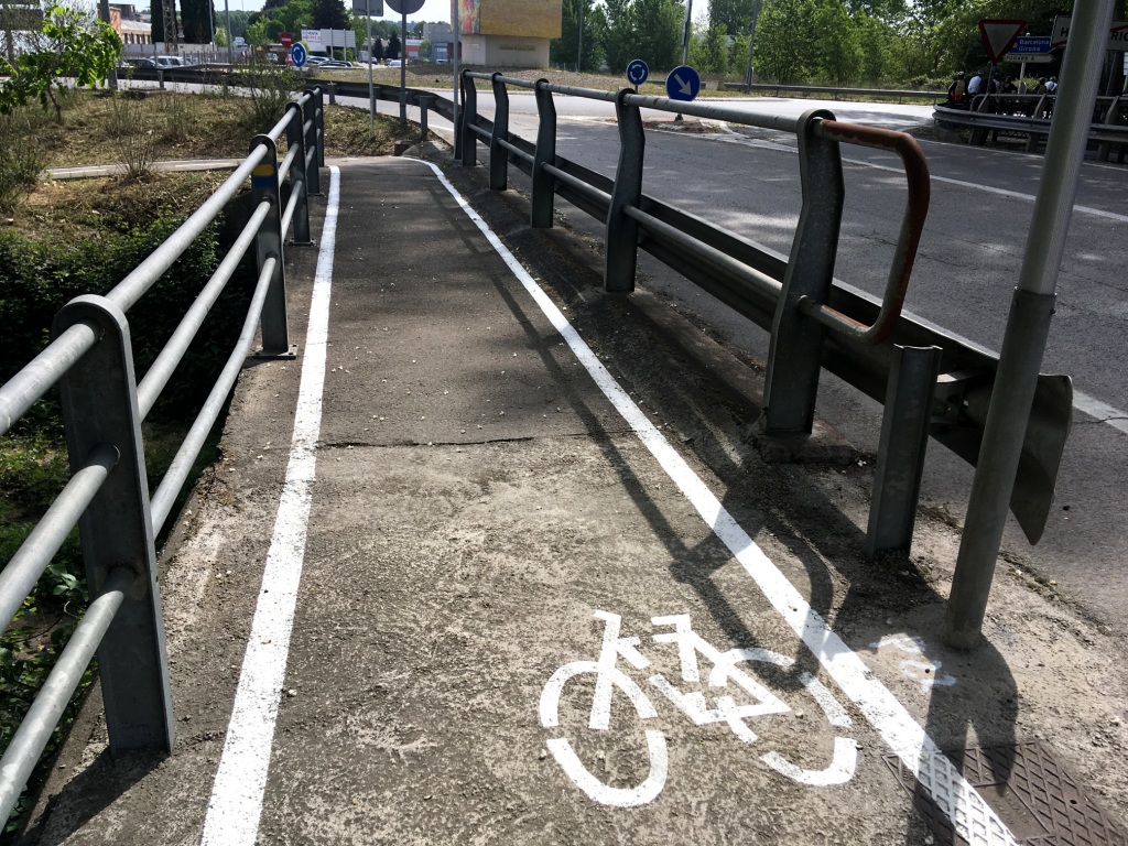
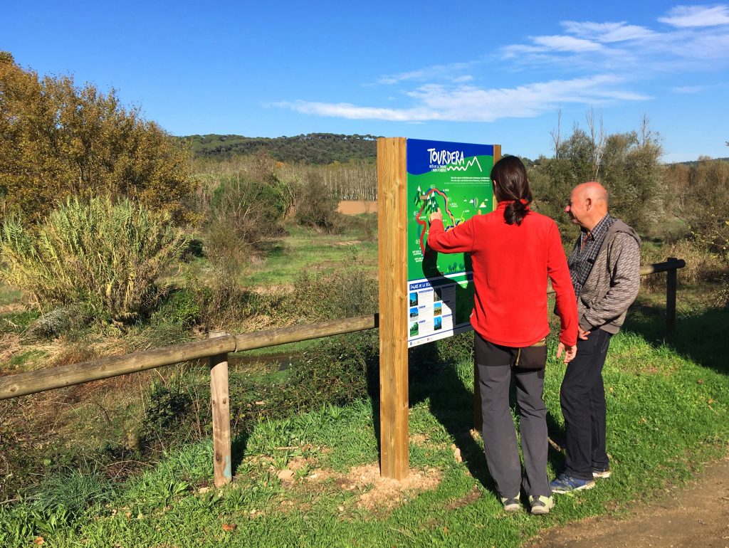
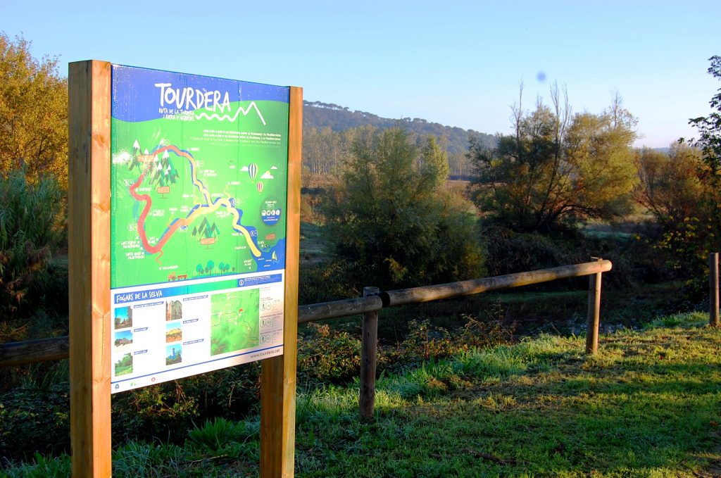
The Tourdera Route section between Massanes and Fogars de la Selva, shared throughout its entire length by hikers and cyclists, begins at the municipal warehouse located on Main Street in Massanes, just at the entrance to the village from the GIV-5121 road. On the wall of the building, you will find the route information panel, from where the route will take you to the medieval town of Hostalric in approximately 4 kilometres. It is a very easy section that runs mainly along paved roads and paths, with highly visible markings on the surface, including pedestrian crossings, cycle lanes, red traffic-calming areas and other safety features.
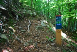
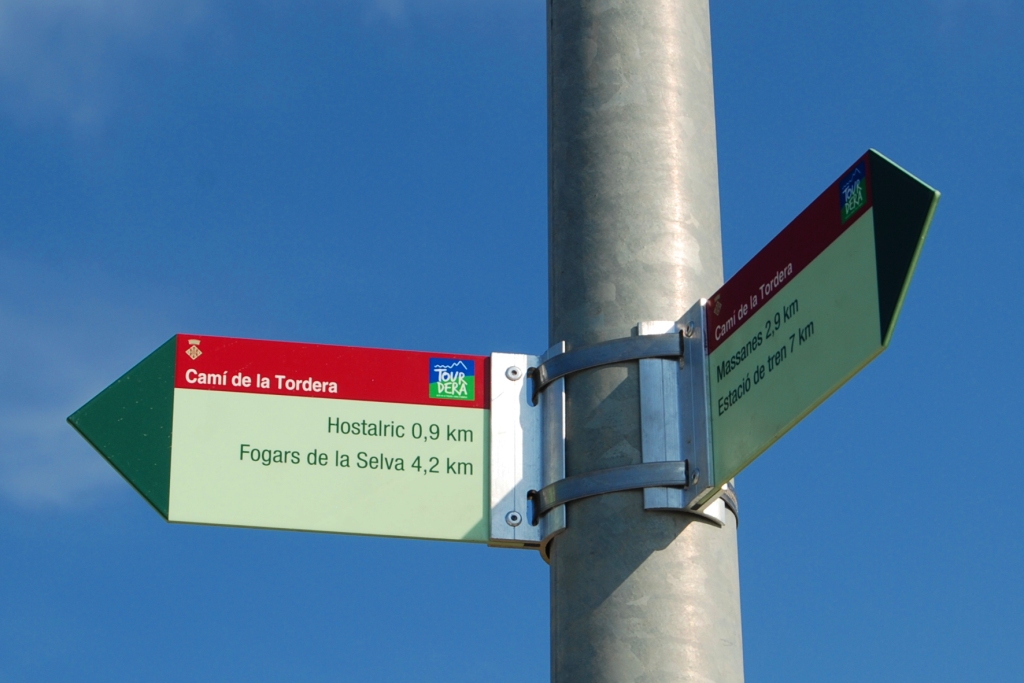
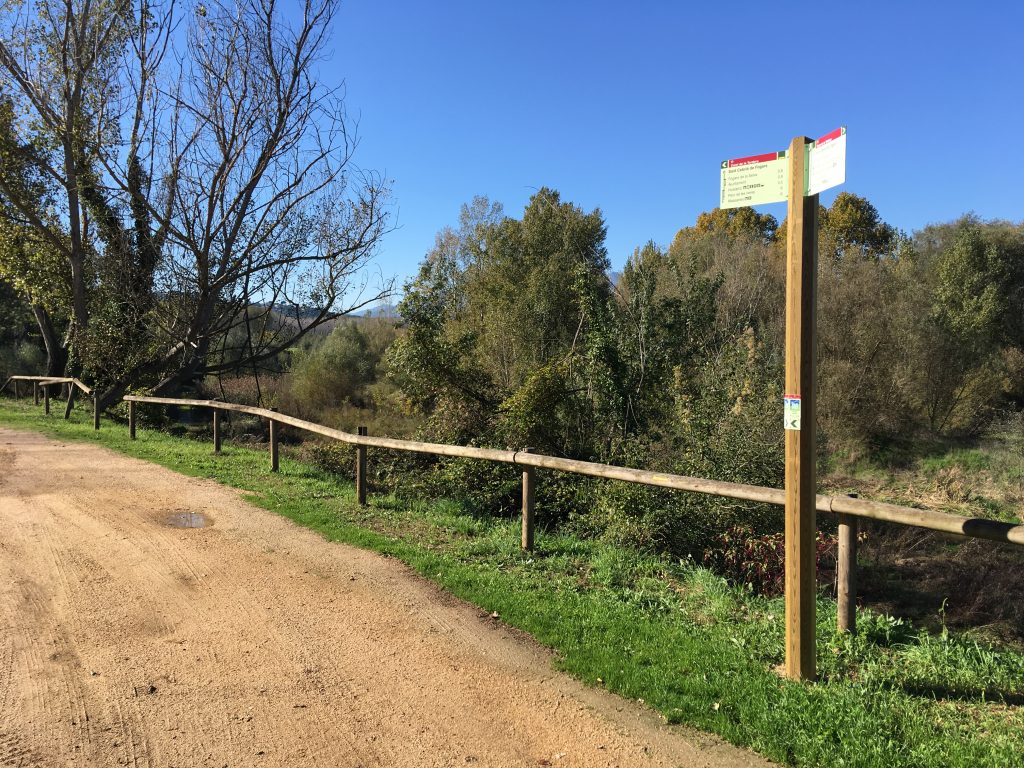
Throughout the route, you will find both wayfinding signs and yellow painted trail markers. These yellow markers follow the standard hiking code: a single line indicates that you are on the correct path, a cross indicates that you are on the wrong path, and a 90° angle mark indicates a sharp change of direction or a turn. You will also notice that, in areas shared with vehicles, parts of the roadway have been marked in red and route logos have been added to make navigation easier.
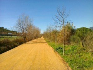
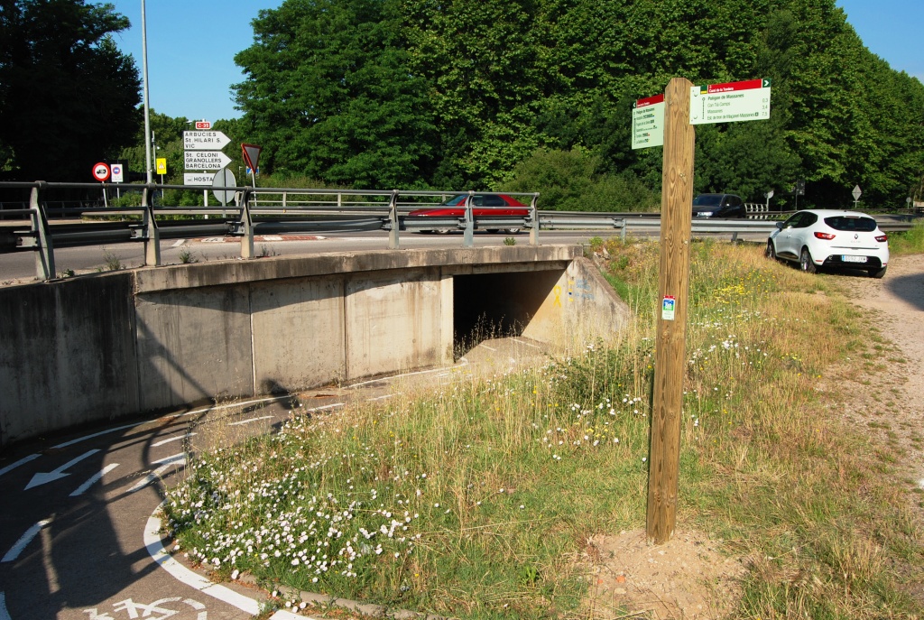
The first section of the route follows the GIV-5121 road, so you should take particular care during the approximately 850 metres of descent before turning onto a side paved track. From this point onwards and all the way to Hostalric, traffic is very light. First, you will pass through the Massanes industrial estate, where a cycle lane separated from traffic is provided. You will then continue through the Can Tià Camps residential area before reaching the entrance to Hostalric, where you will pass beneath the Hostalric bypass through an underpass. At this point, you will first encounter a pedestrian crossing that must be used. On the opposite side, beside the Hostalric Local Police building, you will find a wayfinding sign directing you towards Fogars de la Selva.
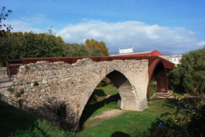
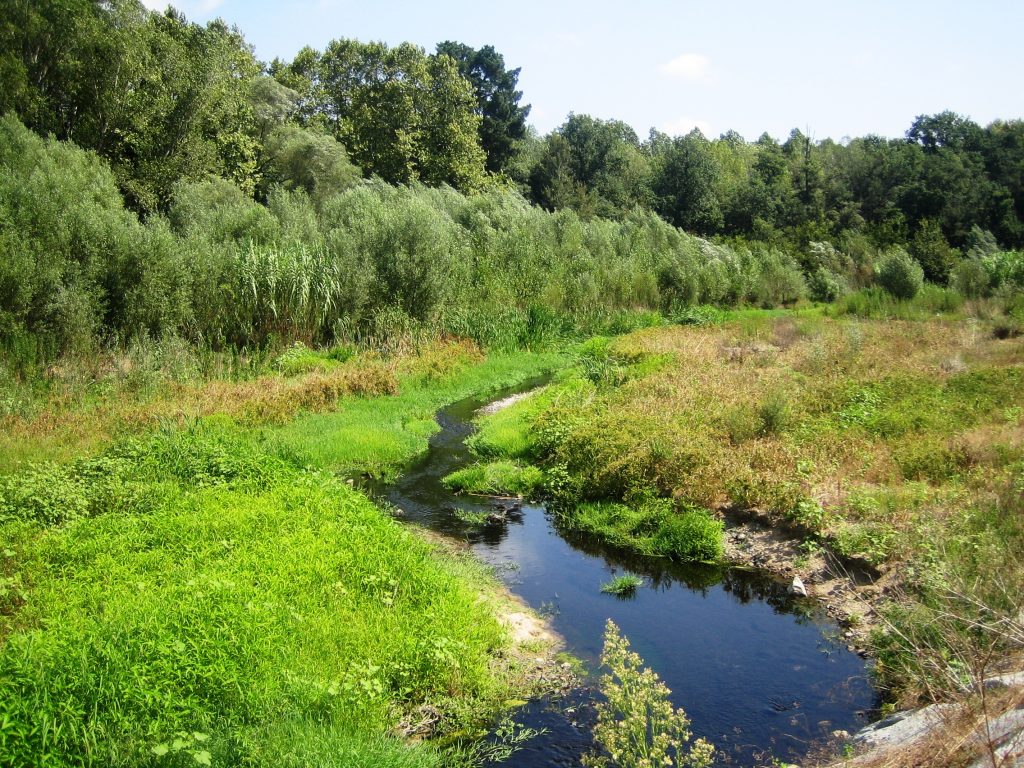
Following this route, you will head towards the bridge crossing the Tordera River, completely separated from traffic and therefore offering a safe crossing. At the end of the bridge, you will need to cross at a pedestrian crossing and continue along the path separated from the road, which will lead you to the industrial estate of Fogars de la Selva. Continue following the route signs, which will guide you alongside the Tordera River, behind the industrial area. This path leads directly to the sports area of Fogars de la Selva, from where, along a paved route and after just over 700 metres, you will reach the Church of Sant Cebrià de Fogars.
Take the opportunity to observe the comunidor, the structure located beside the church and one of the very few surviving examples in Catalunya. These buildings, attached to churches, were used for religious rituals deeply rooted in traditional folklore and were intended to ward off calamities such as storms, floods and plagues. Opposite Sant Cebrià, you will find the Tourdera Route information panel, which marks the end of this section.