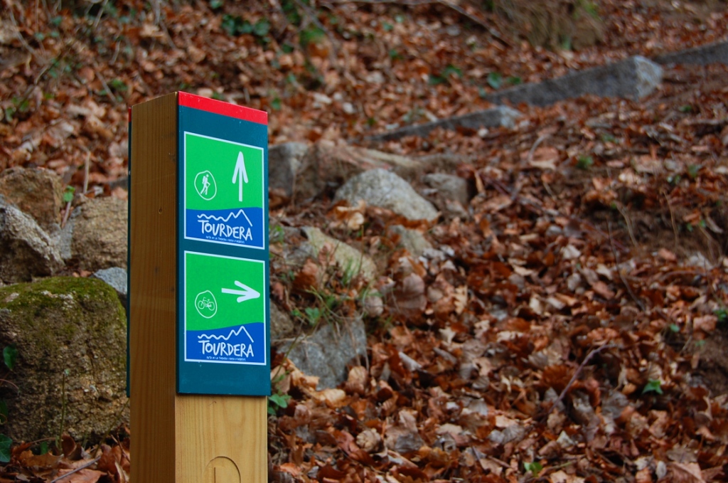
The Arbúcies–Sant Marçal section is extremely demanding. It is 12 km long if you follow the routes reserved exclusively for walkers and 15 km if you use the paths suitable for bicycles. In addition to this distance, the route has a total ascent of approximately 1,000 m. The effort is worthwhile, however, as the climb passes through the magnificent protected landscape of Montseny Natural Park. Please note that bicycles are prohibited on the variants reserved exclusively for walkers.
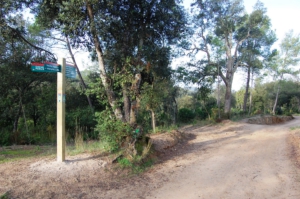
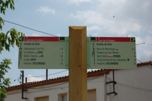
At the beginning of the section, in the centre of Arbúcies, you will find several parking areas and a wide range of services, including restaurants and shops. The route starts in the small square at the junction of Vern Street and Sant Jaume Street, where you will find an information panel and the first directional signs. Enjoy this route through a protected natural environment, but always remain on the marked path and respect the local flora and fauna.
Cycling option
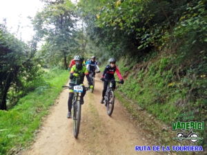
The cycling section is 15 km long, with a total ascent of 891 m and a total descent of 90 m, making it extremely demanding. Like the walking option, the route begins in a small square in Arbúcies, between Vern Street and Sant Jaume Street. Take advantage of the town’s services to stock up on everything you need before beginning the long journey to Sant Marçal.
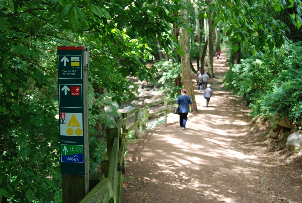
The route begins with a short urban section before quickly reaching the Arbúcies stream. Here, a pleasant riverside promenade includes several flights of steps with small adjacent ramps for bicycles. As these shared sections are narrow, always give priority to pedestrians. We recommend dismounting and pushing your bicycle along the ramps beside the steps.
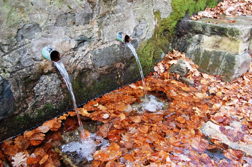
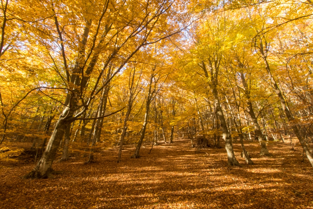
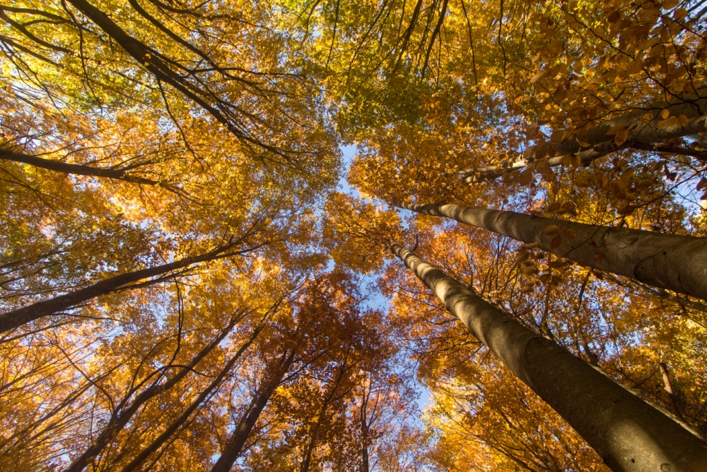
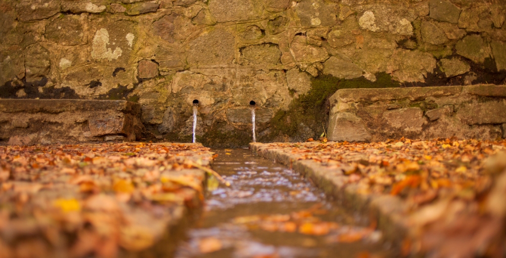
The route soon reaches Les Pipes Mill, where you will find a spring, a restaurant and an interesting bridge that is well worth seeing. From here, the ascent begins along a forest track leading to Sant Marçal. The route passes through a wide variety of landscapes, from Mediterranean cork oak woodland in the lower sections to beech forests at higher elevations, which are characteristic of wetter, Central European environments.
On reaching Sant Marçal, you will find the Hermitage of Sant Marçal, with a small restaurant beside it. Just 150 m away, you can also visit the Bona Spring, the source of the River Tordera.
Walking option
The walk from Arbúcies to Sant Marçal is an extremely demanding 12.2 km route, with a total ascent of 936 m and a total descent of 128 m. It begins beside the information panel in a small square in Arbúcies, between Vern Street and Sant Jaume Street.
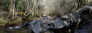
Follow the signs through Town Square, where the Town Hall and a monumental tree are located. You will soon reach the Arbúcies stream and follow a pleasant riverside promenade that is particularly cool in summer. This path leads to Les Pipes Mill, where you will find a historic bridge of considerable heritage value, a spring and a restaurant where you can regain your strength before beginning the climb.
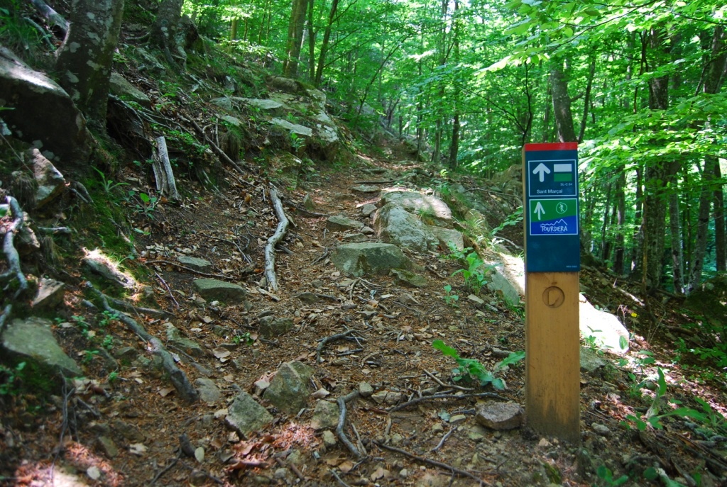
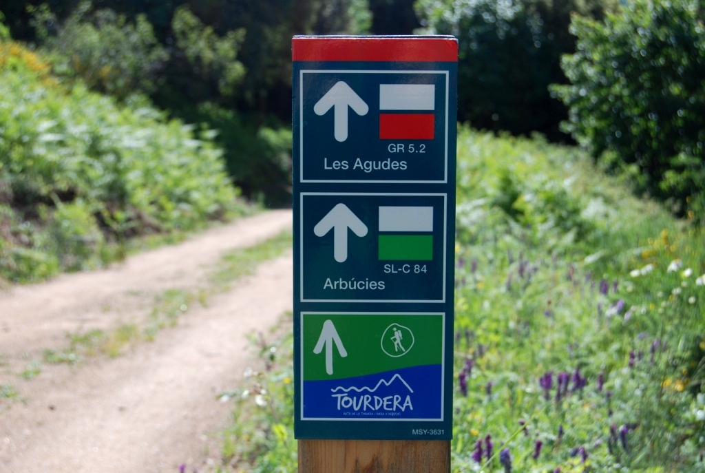
At Les Pipes Mill, the Tordera route joins Local Trail 84, also known as the Camí Marçaler, which accompanies you to the end of the section at Sant Marçal. The first part of the ascent passes through predominantly Mediterranean woodland, especially cork oak forests. As you gain elevation, these gradually give way to chestnut groves and impressive beech forests, which are particularly spectacular in autumn.
The walking route frequently leaves the forest tracks to follow paths through the woodland, passing places of interest such as Sot de la Ginesta. Always respect the natural environment and remain on the marked paths, as the route frequently crosses private property. The recommendations section provides safety advice and guidelines for respecting nature.
Near the end of the route, you will pass close to the Hermitage of Sant Marçal, which is well worth visiting. A nearby restaurant provides an opportunity to rest and recover. On reaching Sant Marçal Pass, where the route ends, you can take a 150 m detour to the Bona Spring, the source of the River Tordera, where you can cool down and enjoy the surroundings.