Section Tourdera Sant Esteve de Palautordera – Santa Maria de Palautordera
Descripció del tram
The Tourdera section between Sant Esteve de Palautordera and Santa Maria de Palautordera is a very short route, less than 2 kilometres long and of very low difficulty, as the two towns are located very close to each other. What may be of particular interest is that the route includes a variant exclusively for hikers and another specifically for cyclists. The section begins in the centre of Sant Esteve de Palautordera, in front of the church and the Tourist Information Point, where you will find nearby parking, as well as shops, bars and restaurants. At the end of the route, in Santa Maria de Palautordera, you can reach the town’s railway station by following the signs, although it is located 3.5 kilometres away.
By following the signs and route markers along the entire itinerary, you will be able to enjoy the walk while staying on the marked route and respecting the local flora and fauna at all times. Throughout the route, do not leave the signposted path and always follow the safety recommendations and guidelines for respecting the natural environment.
Cycling variant
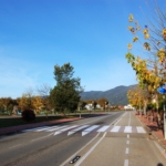
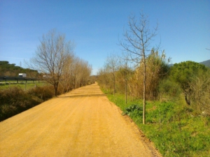
The cycling section is 1.5 km long and begins in front of the Tourist Information Point, heading south. In this case, the route is extremely easy and straightforward, and for almost its entire length it follows the cycle path along the new Sant Esteve road, until you reach the route information panel in Santa Maria.
If you would like to extend your journey, we recommend considering the next section between Santa Maria de Palautordera and Sant Celoni, or between Santa Maria de Palautordera and Vallgorguina.
Hiking variant
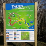
The hiking variant of this section is 1.9 km long and begins in front of the Tourist Information Point in Sant Esteve de Palautordera, where you will find one of the route information panels. To complete this section on foot, head south, following the route marker located in front of the church. After just a few metres, you will already enter the municipality of Santa Maria de Palautordera, although you should continue along the new Sant Esteve road, where there is a cycle path.
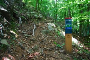
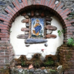
After approximately 400 metres, you will see another vertical route marker indicating a change of direction for hikers. From here, the route descends towards the Tordera along a beautiful riverside path. Before heading down to the river, however, you can visit Font Martina, located in the town’s sports area, which bears the same name.
In fact, this hiking variant forms part of a local walking route, so you will notice that the Tourdera signage coexists with other trail markings. After some time walking alongside the Tordera, the route climbs back up towards the town of Santa Maria, near the site of the former slaughterhouse. Following the signs, you will once again join the cycling variant and, after a few metres, arrive at the Santa Maria route information panel, where this section ends.
Detalls del tram
Bicicleta | ||
|---|---|---|
Nivell | Fàcil | |
Distància | 1,5 km | |
Desnivell + | 0 m | |
Desnivell – | 27 m |
Senderisme | ||
|---|---|---|
Nivell | Fàcil | |
Distància | 1,9 km | |
Desnivell + | 0 m | |
Desnivell – | 34 m |