More information about this section…
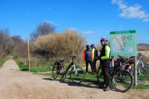
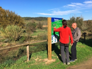
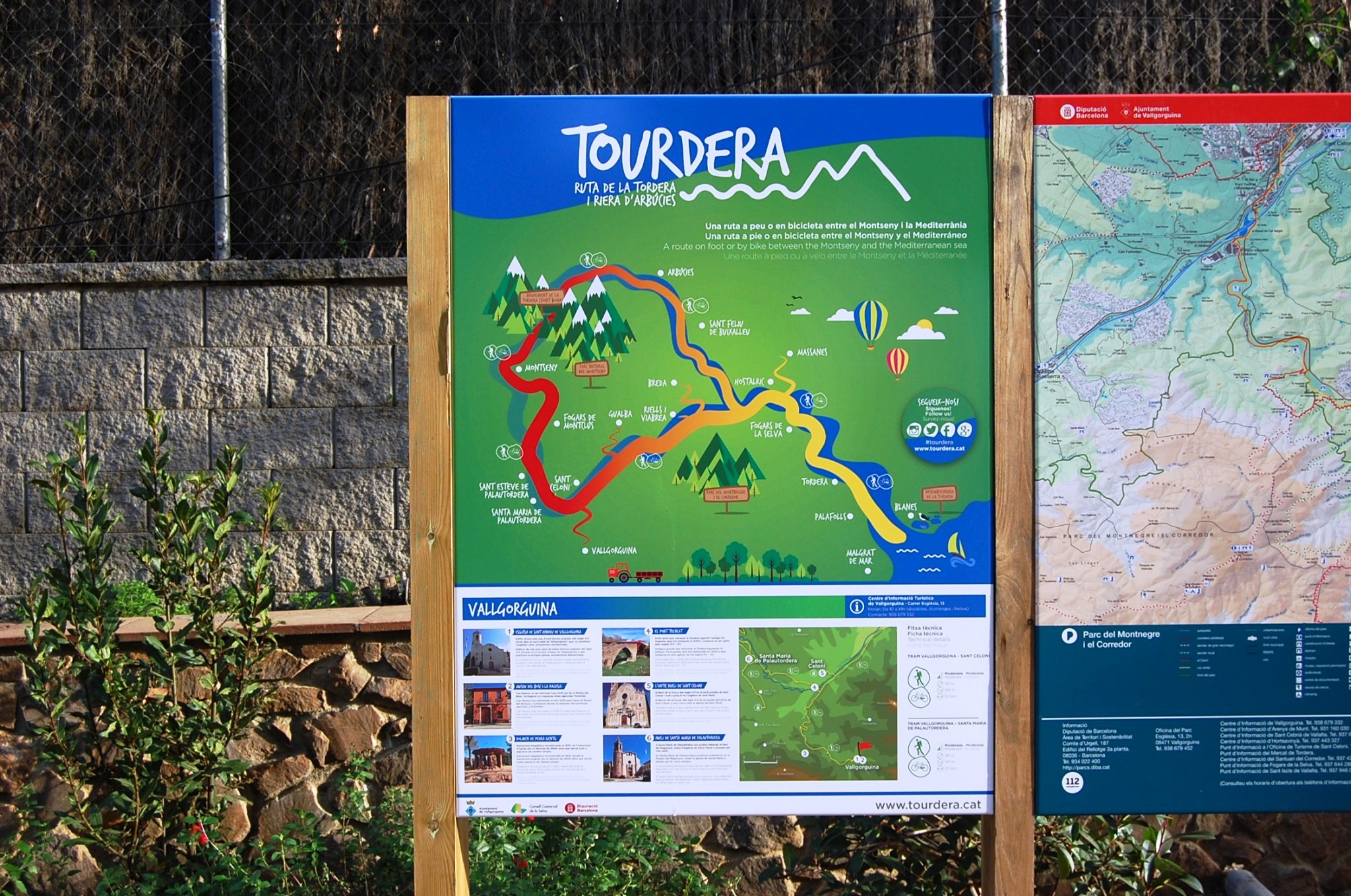
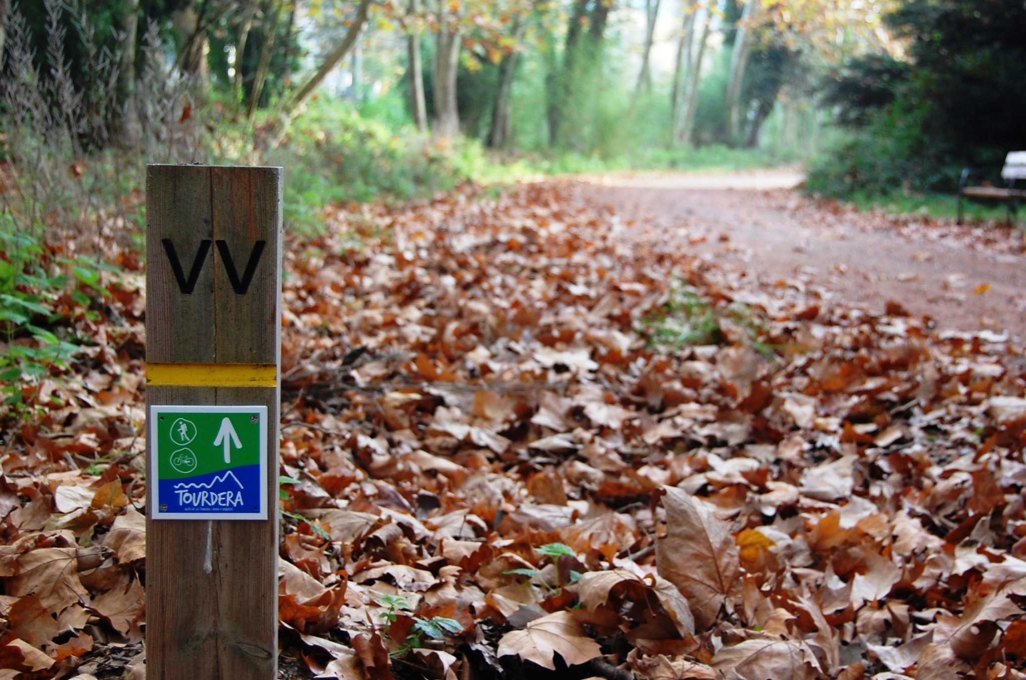
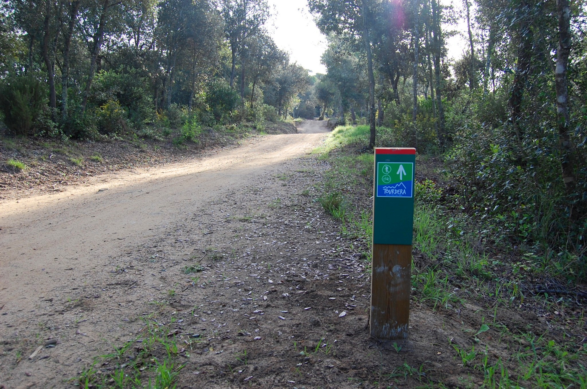
If you would like to complete the Tourdera route between Vallgorguina and Sant Celoni, you should be aware that this is a connecting route between the town of Vallgorguina and Sant Celoni, and that only a small part of the itinerary forms part of the main Tourdera route. Even so, it is a very attractive section that makes use of much of the Vallgorguina Greenway. The route begins at the Vallgorguina Tourist Information Point, where you will find the route information panel and the first route signpost indicating the way to follow. This section is 9.1 kilometres long, with a cumulative ascent of 89 metres and an overall moderate level of difficulty.
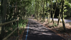
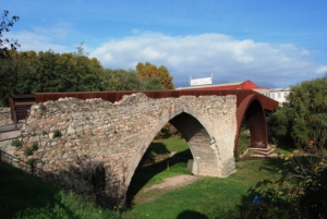
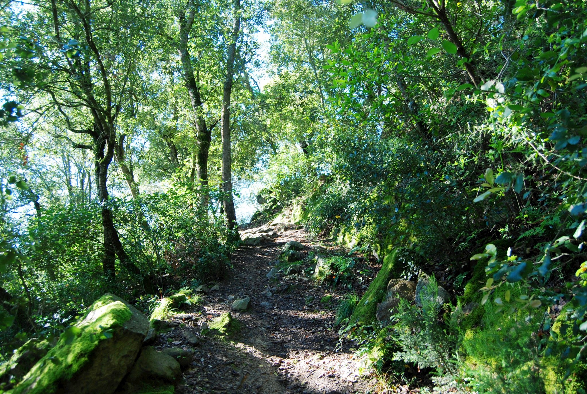
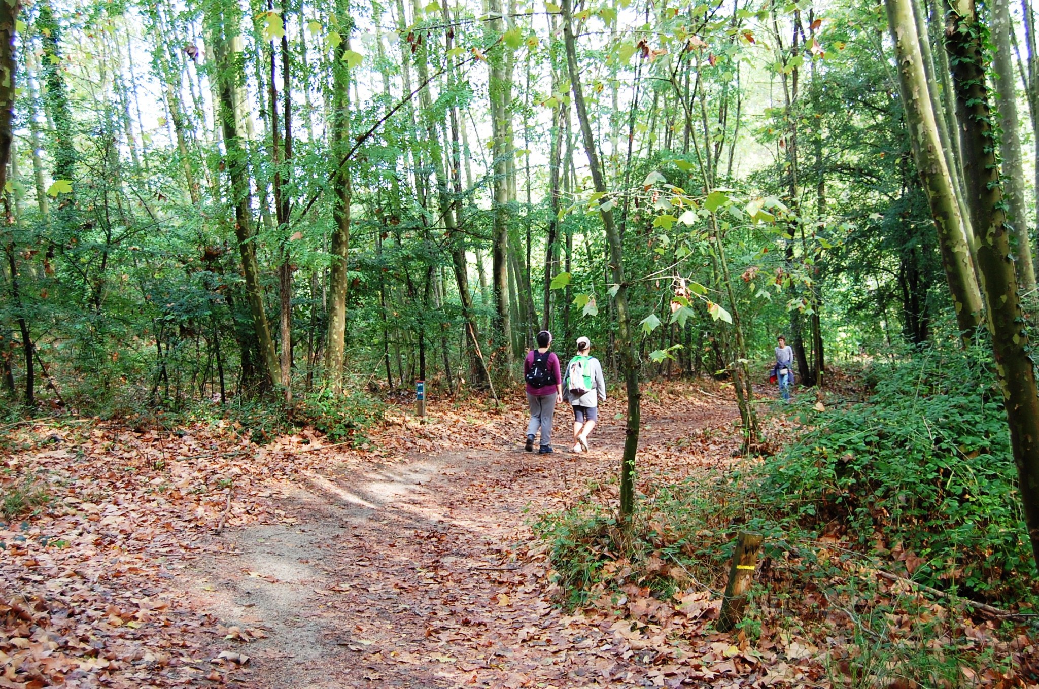
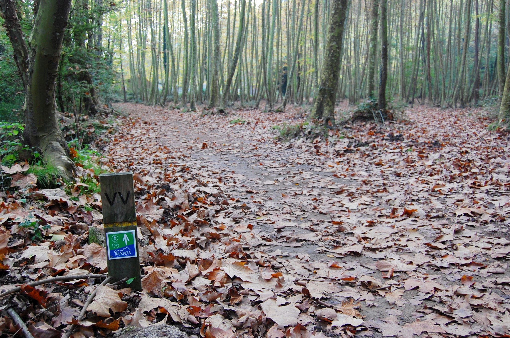
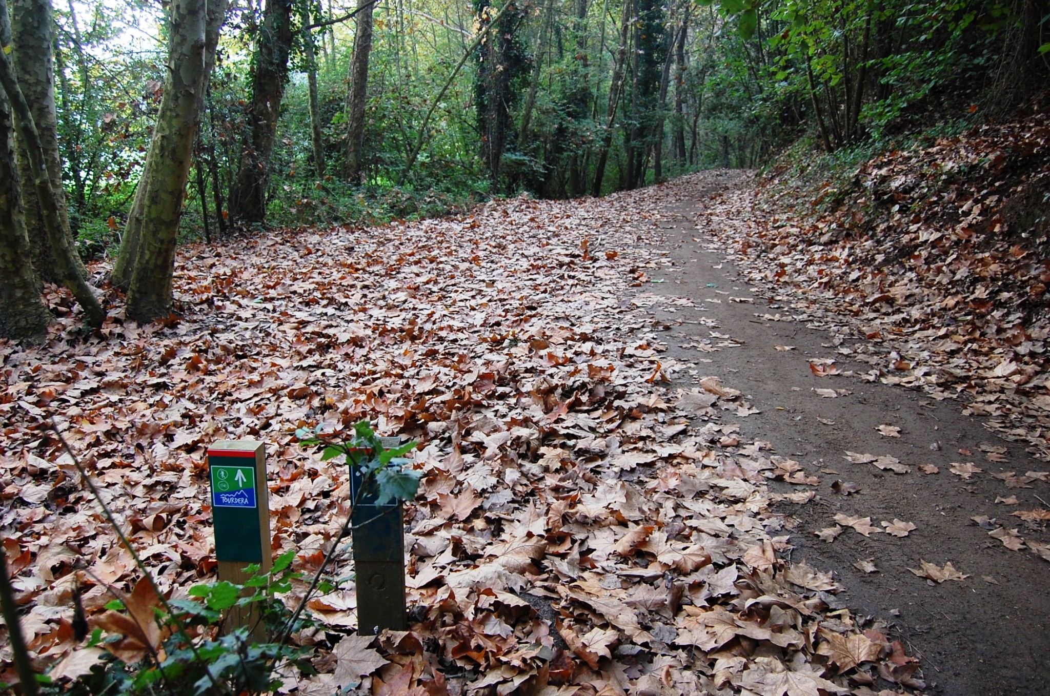
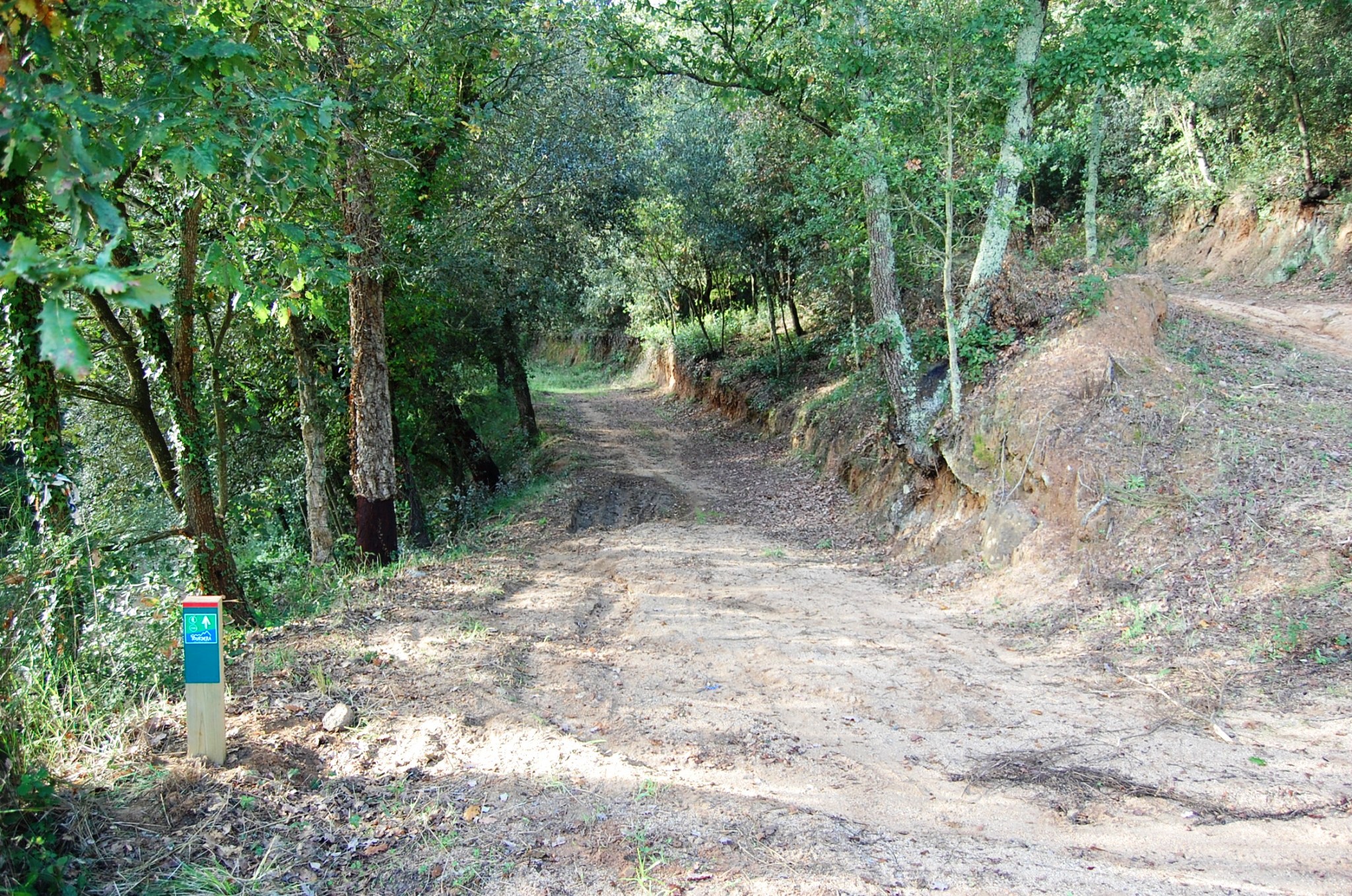
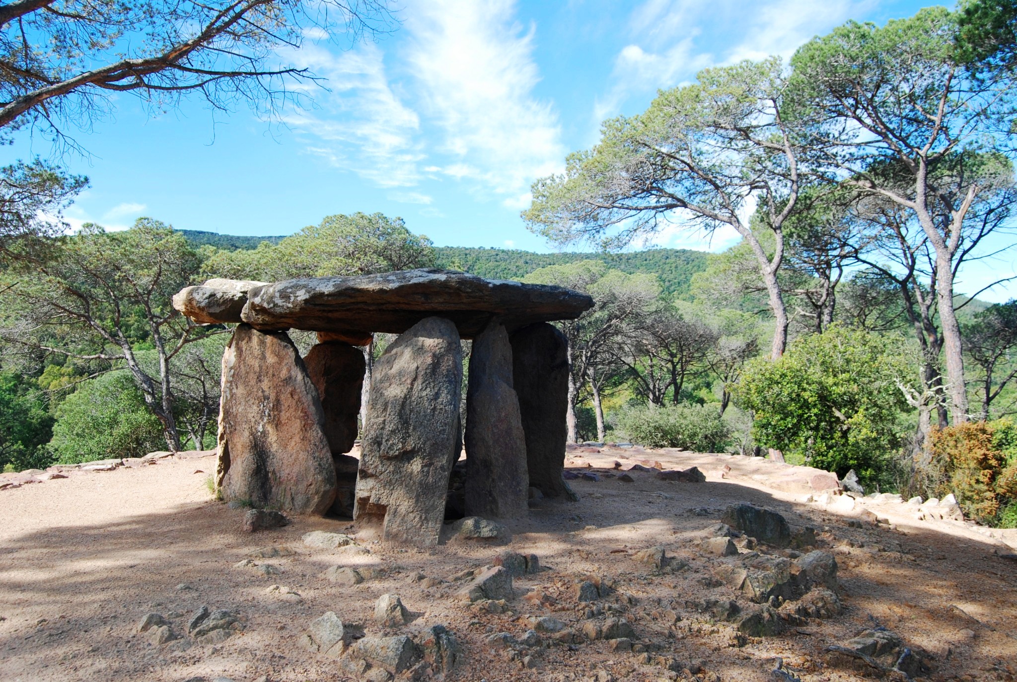
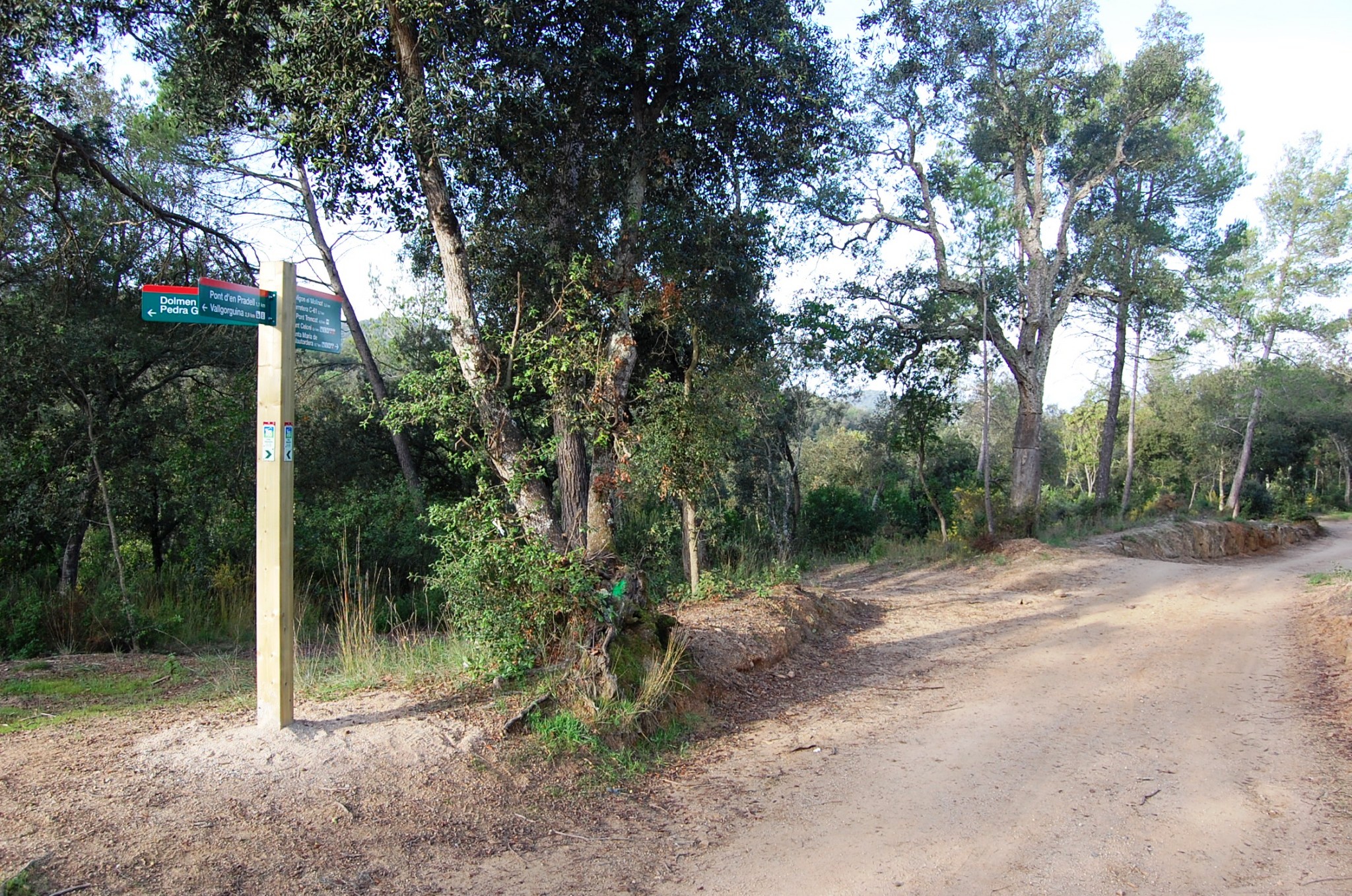
Following the signs, you will travel a short distance along the C-61 road until reaching the entrance to the village, where the route soon changes direction. After only a few metres, you will join the Greenway, a peaceful and shaded route running parallel to the Vallgorguina stream, along which much of the itinerary passes. Among other points of interest, you will pass by the wastewater treatment plant, the old church of Vallgorguina and eventually reach the Pradell Bridge. From here, the route follows a track and enters the Parc Natural del Montnegre-Corredor, climbing gradually until reaching the Pedra Gentil Dolmen. Continuing along the route, you will follow tracks and paths, descending once again towards the Vallgorguina stream in an area where there is also a recreational circuit.
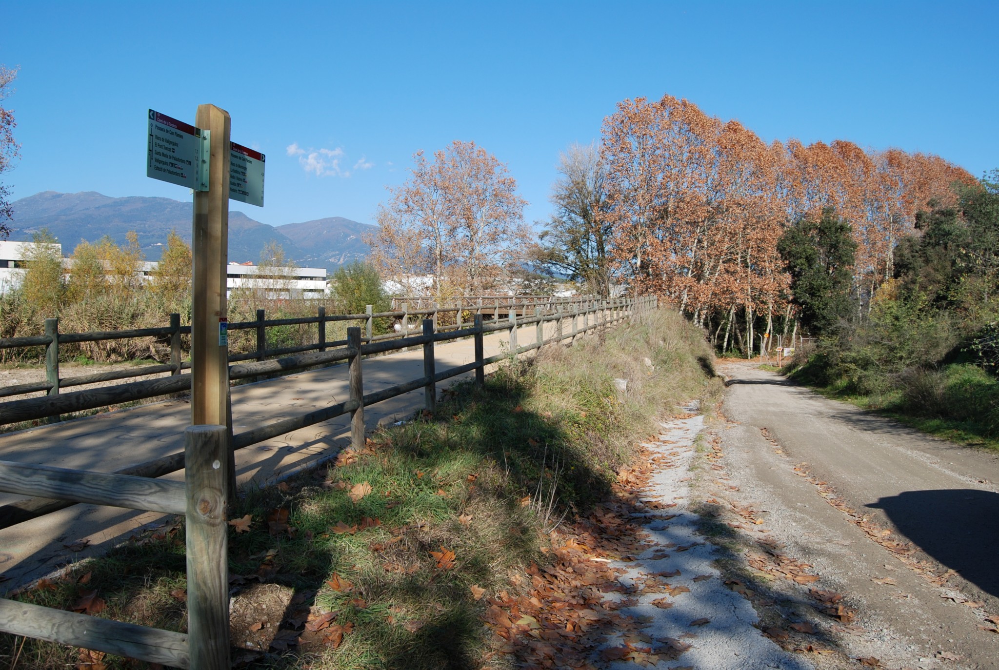
From this point onwards, you will continue alongside the Vallgorguina stream until reaching the El Molinot industrial estate. From there, you will begin the final part of the route towards Sant Celoni, walking for a short distance along the shoulder of the C-61 road, crossing the motorway, passing close to the Trencat Bridge area and following the Tordera River for a short stretch until reaching the Can Pàmies footbridge. You will need to cross it and follow the signs that lead to the centre of Sant Celoni. There you will find a tourist information office as well as a variety of services, including shops, bars and restaurants.
Below you can consult the map of the route we propose, including the diversion between Trencat Bridge and the C-61 road.