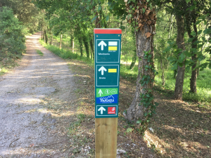
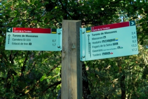
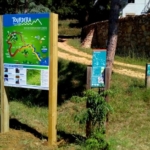
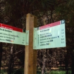
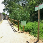
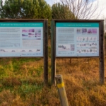
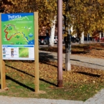
The Tourdera section from Gaserans to La Batllòria is a 12.5-kilometre walk with only 38 m of ascent. Therefore, due to its length, it is considered a moderate section, but one that allows you to discover the lower course of the Arbúcies stream and the middle course of the Tordera River, with all their natural values. The route begins at the information panel located at the Church of Sant Llorenç de Gaserans, where parking is available. Please note that there are no services in the surrounding area, so you should come well prepared for the route. From the church, heading towards the road, you will find Tourdera signs with wayfinding markers and yellow painted trail marks that will accompany you throughout the route.
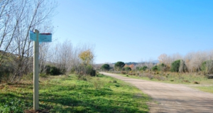
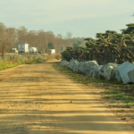
As for the surface, the first part of the itinerary follows a paved road with very little traffic, which you will leave after approximately one kilometre to continue along a forest track that will accompany you for the remainder of the route. Along this forest-track section, you will cross the Arbúcies stream via a channelled ford and follow it along the opposite bank until you reach the main route in Hostalric. At this point, you may choose to visit Hostalric, although the route towards La Batllòria continues in the opposite direction, passing through the Parc de les Rieres until reaching the Tordera River. Remember that you should always follow the wayfinding markers and/or the yellow painted trail marks, and always follow the signs towards La Batllòria.
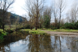
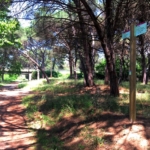
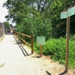
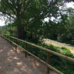
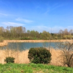
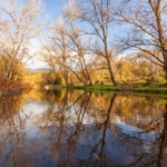
From this point onward, you will follow a route running alongside the Tordera River, where you will find poplar groves, the Llobateres wetland area, olive groves and more, always along forest tracks, until you reach the footbridge leading to La Batllòria. At this point, you will see a wayfinding marker and must cross this footbridge over the Tordera River, which will take you to La Batllòria within a few minutes, where you will find some bar and restaurant services.