Section Tourdera Santa Maria de Palautordera – Sant Esteve de Palautordera
Descripció del tram
The Tourdera section between Santa Maria de Palautordera and Sant Esteve de Palautordera is a very short stage, less than 2 kilometres long and of very low difficulty, as the two towns are located very close to each other. One interesting feature is that there is an exclusive variant for hikers and another variant for cyclists. The section begins on the Carretera Nova de Sant Esteve, very close to the former slaughterhouse of Santa Maria, where the route information panel is located. In this area of Santa Maria de Palautordera, you will find nearby parking, shops, bars and restaurants, and if you follow the route signposts, you can also reach the town’s train station, although it is located 3.5 kilometres away.
By following the signs and waymarks that you will find throughout the itinerary, you will be able to complete the route and enjoy the walk, always staying on the marked path and respecting the local flora and fauna at all times. During the route, do not leave the marked trail and always follow the safety recommendations and guidelines for respecting nature.
Cycling Variant
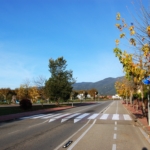
The cycling section, 1.5 km in length, begins in front of the Santa Maria route information panel and heads north. In this case, the route is very easy and straightforward, with almost the entire journey taking place along the cycle lane of the Carretera Nova de Sant Esteve, until you reach Sant Esteve de Palautordera, in the area of the church and the Tourist Information Point. If you would like to extend your journey, we recommend continuing with the next section between Sant Esteve de Palautordera and Mosqueroles.
Hiking Variant
The hiking variant of this section is 1.9 km long and begins in front of the route information panel in Santa Maria de Palautordera, on the Carretera Nova de Sant Esteve. To complete this section on foot, head north, following the cycle lane for a short distance until you reach the first roundabout, where you will find a signpost indicating that hikers and cyclists must follow different directions.
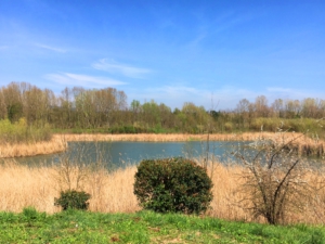
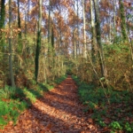
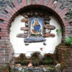
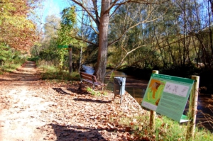
At this point, you will leave the cycle route and head towards the Tordera River, which you will follow for a while along a beautiful riverside path. After approximately 500 metres, you will begin ascending again. Here, you may wish to stop and visit Font Martina.
Continuing for another 500 metres or so, you will rejoin the cycling route, which will lead you in just a few more metres to Sant Esteve de Palautordera, where this section ends, in the area around the church and the Tourist Information Point. Here you will find various services in addition to tourist information, including shops, bars and restaurants.
Detalls del tram
Bicicleta | ||
|---|---|---|
Nivell | Fàcil | |
Distància | 1,5 km | |
Desnivell + | 27 m | |
Desnivell – | 0 m |
Senderisme | ||
|---|---|---|
Nivell | Fàcil | |
Distància | 1,9 km | |
Desnivell + | 34 m | |
Desnivell – | 0 m |