More information about this section…
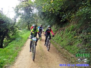
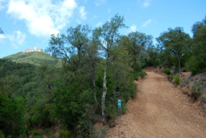
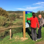
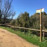
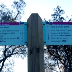
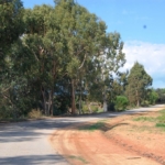
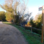
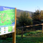
This section of the Tourdera Route, between Hostalric and Fogars de la Selva, is shared throughout its entire length by hikers and cyclists. In total, it is approximately 4.5 kilometres long, with a cumulative ascent of only 9 metres, making the overall difficulty of the route very low. At the start of the route, in front of the Hostalric Tourist Office (Domus Sent Soví), you will find a route information panel. Behind the Tourist Office, there is a large car park where you can leave your vehicle. To begin the route, head towards carrer Ravalet and follow it downhill. Along the route, you will find wayfinding signs and, outside the urban area, yellow painted trail markers.
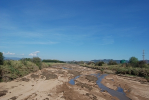
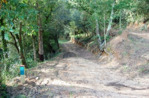
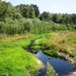
At the end of carrer Ravalet, you will reach the Hostalric Local Police headquarters and the branch of the Tourdera Route leading towards Massanes. At this point, pay attention to the signs towards Fogars de la Selva, which will lead you to the bridge crossing the Tordera River. From here, and for several kilometres, the route runs alongside the river and behind the industrial estate of Fogars. Remember to follow the wayfinding signs at all times and, if in doubt, simply follow the yellow trail markers that indicate you are on the correct path. The meaning of these markers follows the standard system used on painted hiking routes: a single line indicates that you are on the correct path, a cross indicates that you are on the wrong path, and a 90° angle marker indicates a sharp change of direction or a turn.
Almost at the end of the section, you will reach the sports area of Fogars de la Selva, very close to the Town Hall. After a few more metres, and continuing to follow the wayfinding signs, you will arrive at Sant Cebrià de Fogars, where the section ends and where you will find the route information panel.