More information about this section…
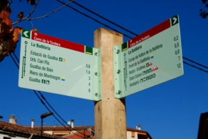
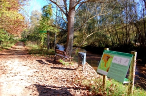
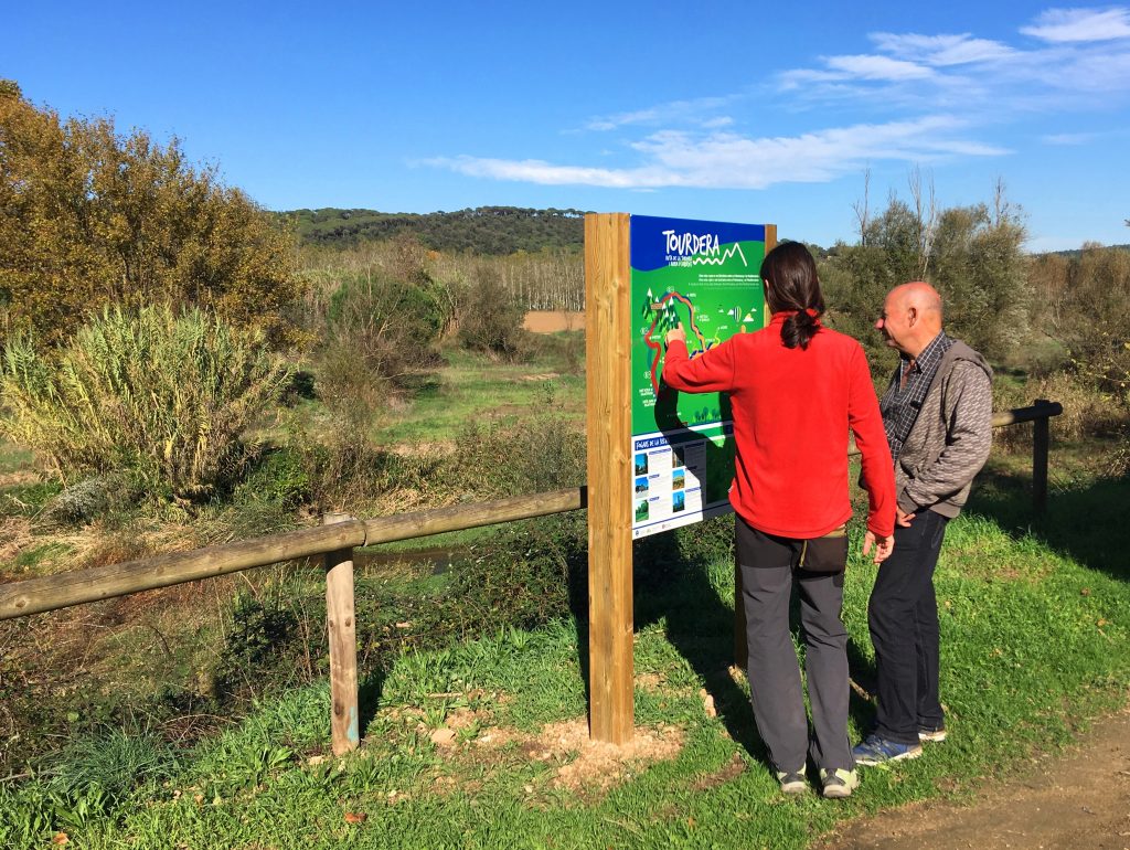
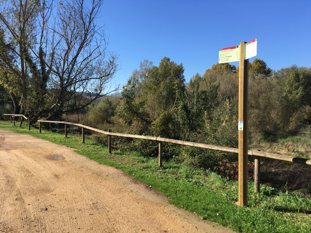
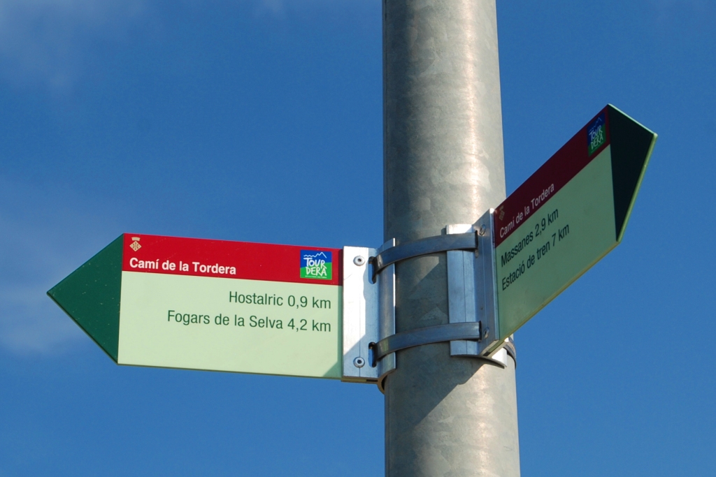
This section of the Tourdera route, between Fogars de la Selva and the town of Hostalric, is shared by walkers and cyclists throughout. It is just over 7 kilometres long, with a total ascent of 126 metres and an overall easy difficulty level. At the start of the route, in front of the church of Sant Cebrià de Fogars, you will find a signpost indicating the route for both cyclists and walkers, as well as a Tourdera information panel. Follow the paved road upstream along the River Tordera, using the yellow trail markers. After approximately 700 metres, you will reach the first directional signpost.
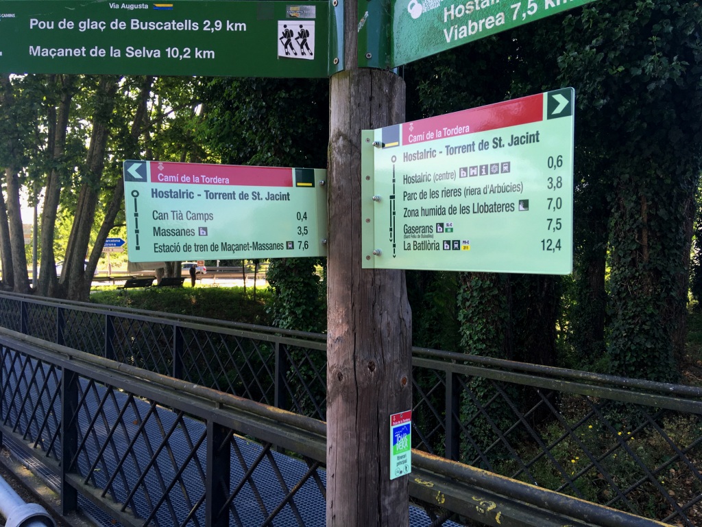
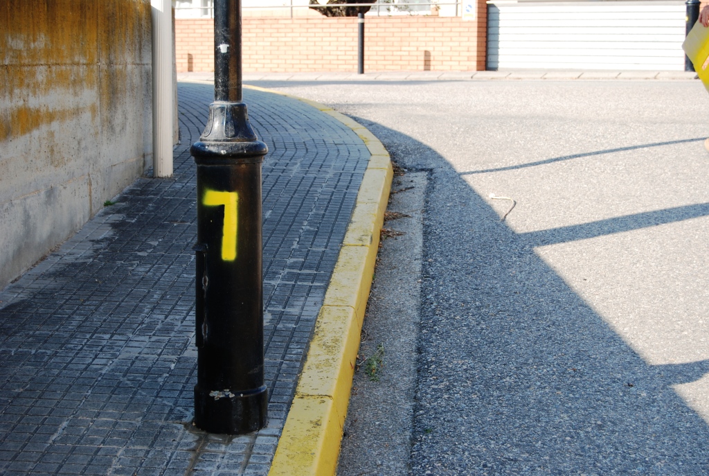
Parking is also available in front of the church. As you begin heading towards Hostalric, the first 600 metres follow a paved road with very little traffic, leading to the Fogars de la Selva sports area, very close to the Town Hall. The vertical signposts make the route easy to follow. If in doubt, follow the yellow trail markers. These use the standard code for painted routes: a stripe indicates the correct route, a cross marks the wrong direction and a 90-degree angle indicates a sudden change of direction or turn.
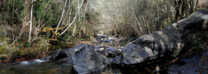
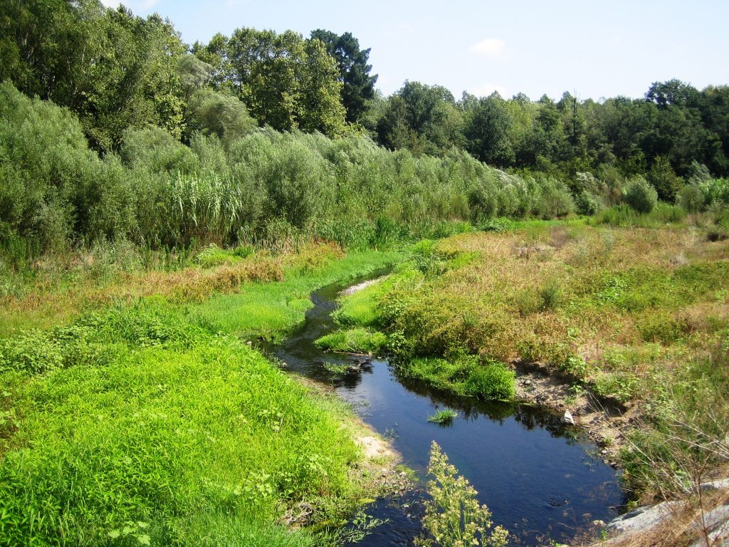
After passing the sports area, leave the paved road and follow a forest track through poplar plantations, which will take you back towards the Tordera. Once you have passed the plantations, continue parallel to the river until the end of this section, with constant views of the riverbed and riverside vegetation. Further ahead, the route runs between the river and the industrial estate until it reaches the BV-5122 road bridge.
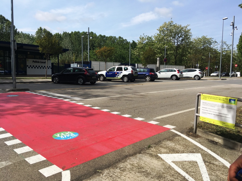
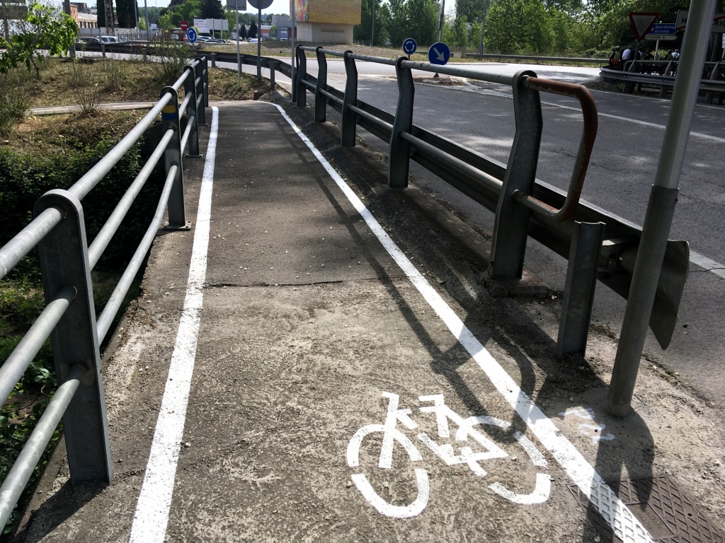
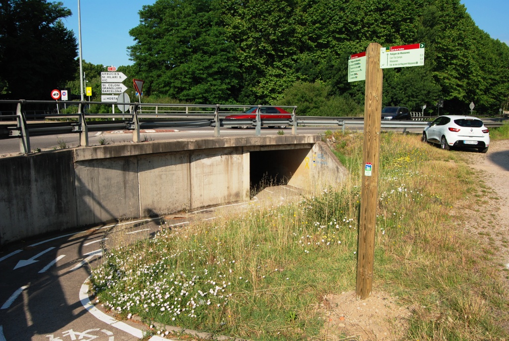
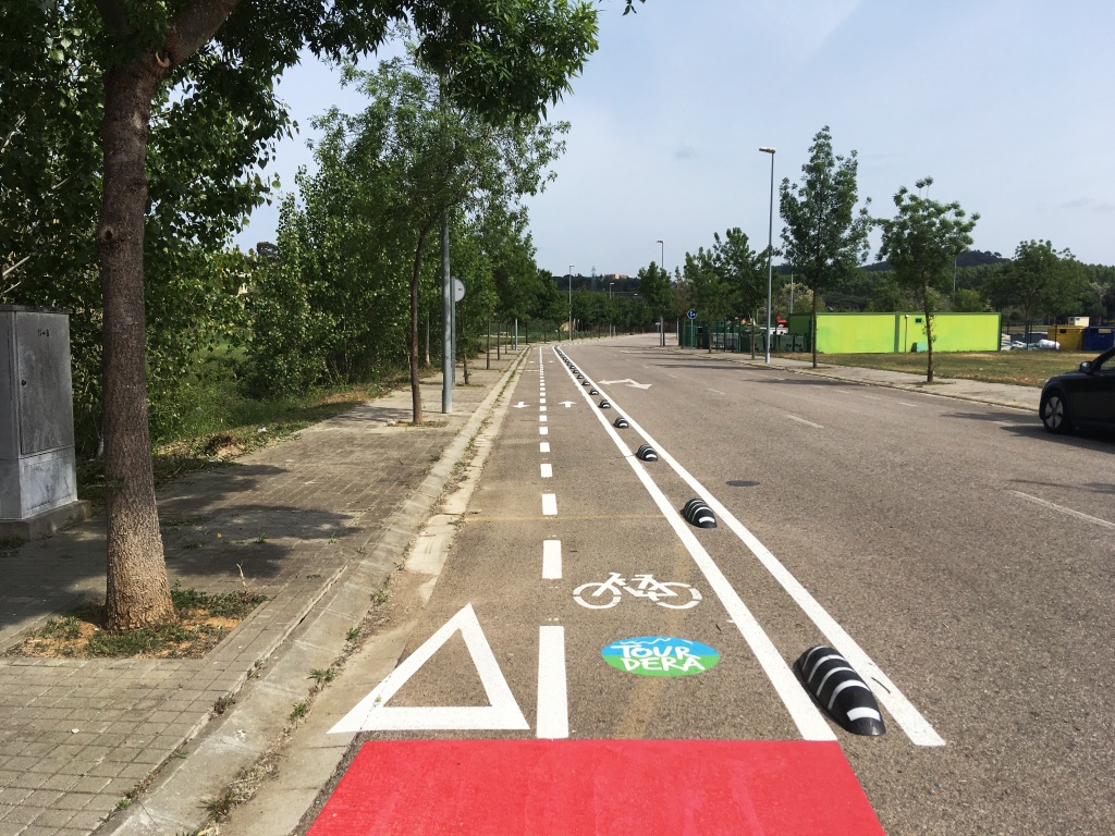
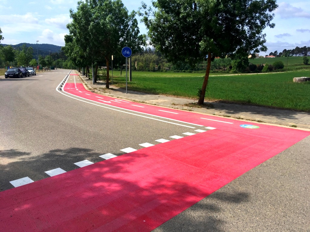
After crossing the bridge, you will arrive at the entrance to Hostalric, where the first building you will see is the Local Police station. Follow the signs towards Massanes, cross at the red pedestrian crossing and pass beneath the Hostalric bypass until you reach Joaquim Ruyra Street. This section is shared with vehicles, so pay close attention to traffic. The street leads to the Can Tià Camps residential area and then to the Massanes industrial estate, where a cycle lane separated from traffic is available. Follow the signs to the Massanes road, the GI-5121, and continue along it for 850 metres, taking particular care with traffic, until you reach the village of Massanes, where this section ends.