ATTENTION: THE SHORT SECTION PROVIDING ACCESS TO THE DESEMBOCADURA DE LA TORDERA IS CURRENTLY CLOSED AS A MEASURE TO PROTECT WILDLIFE. PLEASE CONSULT THE ROUTE MAP FOR MORE INFORMATION.
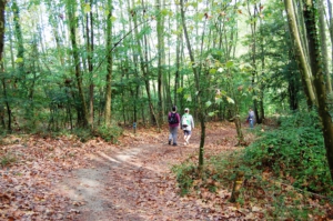
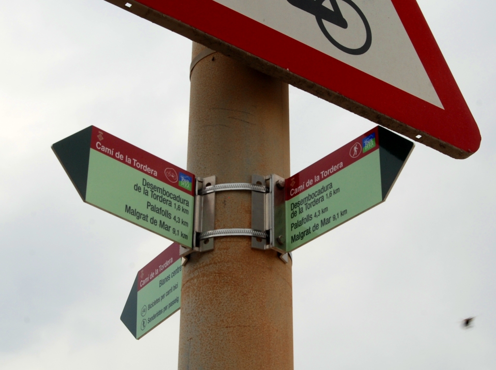
The section of the ruta de la Tordera between Blanes and Palafolls is a very flat walk of just over 6 kilometres, following forest tracks and running almost entirely alongside the Tordera River. In Blanes, you will find a wide range of tourist services before starting the route, and the town of Palafolls is also well equipped. To follow the itinerary, which is suitable for both hiking and cycling, simply follow the Tourdera signage and the yellow painted waymarks.
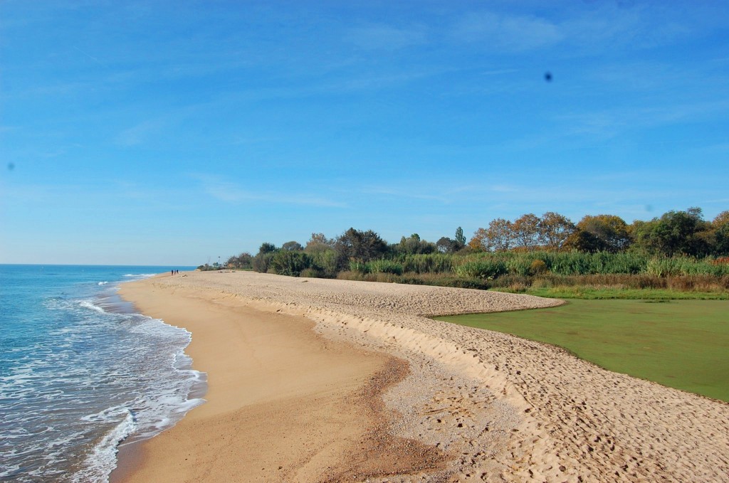
Shortly after starting the route, we recommend making a detour to the desembocadura de la Tordera, an important natural area used by many migratory birds as a stopover on their journey south. For this reason, both at the desembocadura de la Tordera and along the rest of the route, it is important to follow all recommendations regarding respect for nature. You will find directional signposts indicating this short detour.
More information about the section…
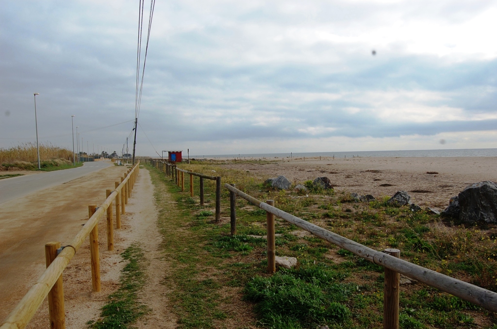
Once you have decided to do the section between Blanes and Palafolls, the route starts in front of Sa Palomera, the well-known point considered to mark the beginning of the Costa Brava. More specifically, the route begins in front of Plaça Catalunya, where the tourist office is located and where you will find the route information panel. On the same panel, you will already see a marker indicating the path you need to follow. During the first few hundred metres of the route, you will see that it runs along the seafront promenade of s’Abanell beach. However, you should pay attention whether you are doing the route on foot or by bicycle, as hikers should stay on the promenade, while cyclists should use the cycle lane. To follow the route, simply follow all the route signs (directional signposts) and the yellow painted waymarks. The code used for these yellow marks is typical of any route marked with paint: a single line means you are on the right path, a cross means you are on the wrong path, and a 90-degree angle mark indicates a sudden change of direction or turn.
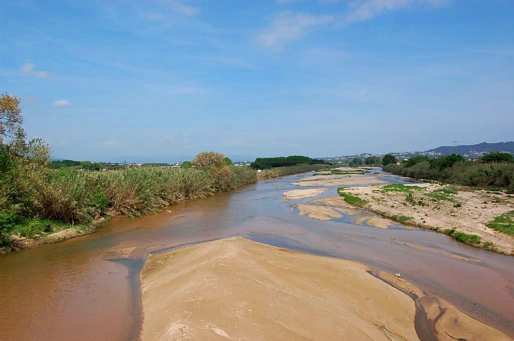
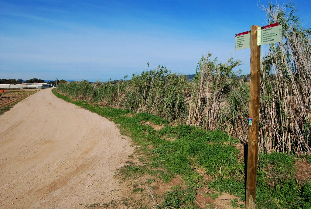
Before reaching the end of the s’Abanell promenade, you will see that the route enters the Els Pins neighbourhood, always following the signage, taking Avinguda Vila de Madrid towards the Tordera River. Throughout this urban section, the signposts you will find are small signs placed on streetlights or traffic signs, while once you leave the urban area they become the typical signposts mounted on wooden posts. When you reach the Tordera River, you will find a signpost offering you the possibility of reaching the desembocadura de la Tordera, although the path is currently closed to people as a measure to protect wildlife. This is the lagoon that forms before the river flows into the sea and is home to an important presence of birds.
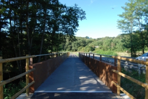
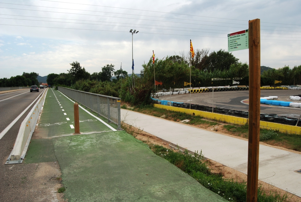
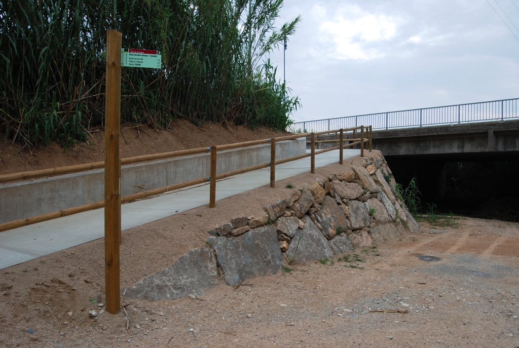
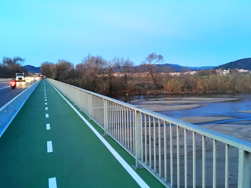
Resuming the route, you should follow the track running parallel to the Tordera River, always following the signage, until you reach the road from Palafolls to Blanes. At this point, you will find a ramp with a signpost indicating the way to the bridge, allowing you to cross the river in complete safety and fully separated from road traffic. On the other side of the bridge, another ramp will allow you to access the lower track, which will take you directly towards Palafolls (pay attention to the directions on the signposts), first passing through the Parc Fluvial de la Tordera. The section ends at Avinguda Pau Casals in Palafolls, where you will find the route information panel.