Hiking Variant
The descent from Sant Marçal to the village of Montseny, when completed on foot, can be considered a moderate route, as although it is 11.1 km long, it involves only 287 m of ascent and 879 m of descent.
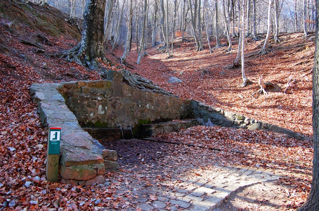
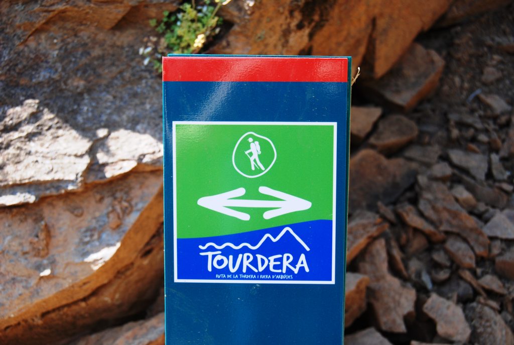
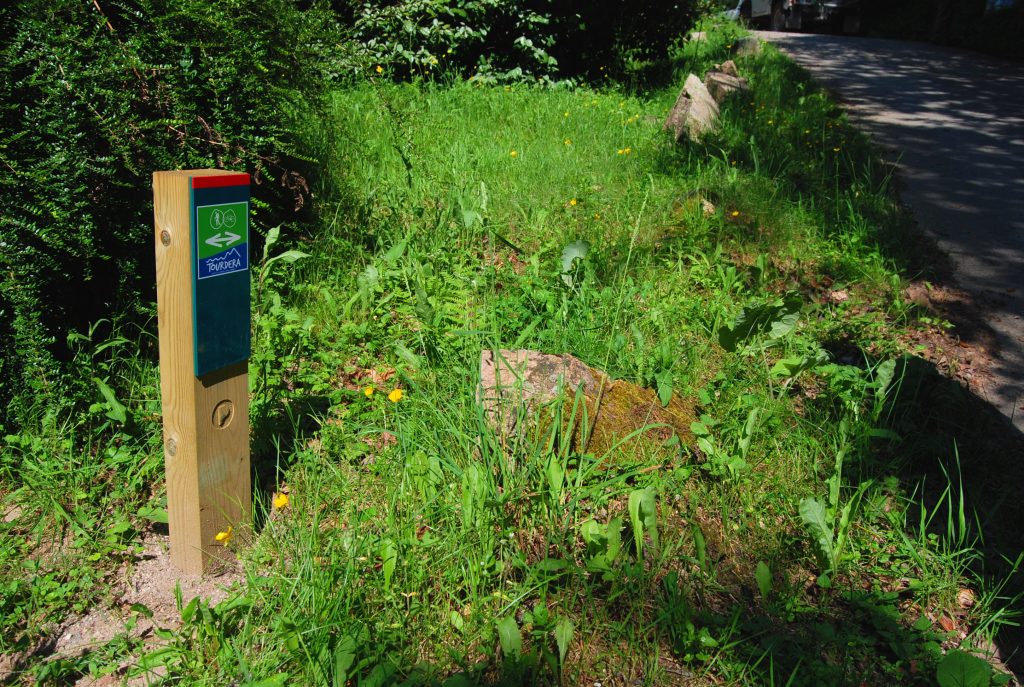
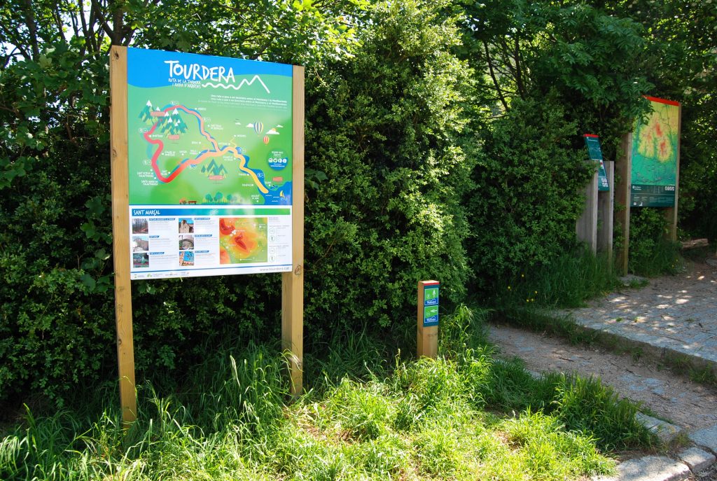
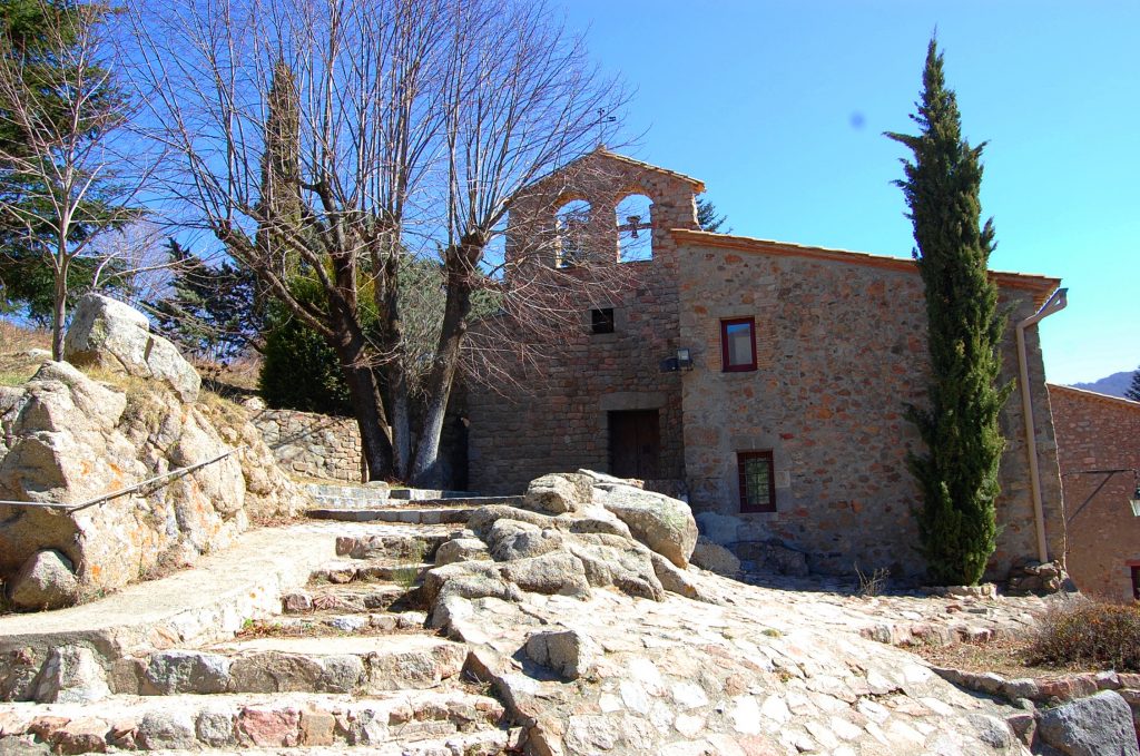
At the starting point of the route, right next to the information panel, there is a first waymark indicating the initial separation between hikers and cyclists. Specifically, hikers can descend directly to Font Bona via a small path of around 150 metres. However, it is advisable to follow the cycling track, as about 75 metres away stands the Hermitage of Sant Marçal, which gives its name to the pass. Whether you descend one way or the other, after only a short distance you will reach Font Bona, the source of the Tordera River, from which this route takes its name.
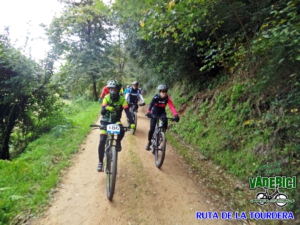
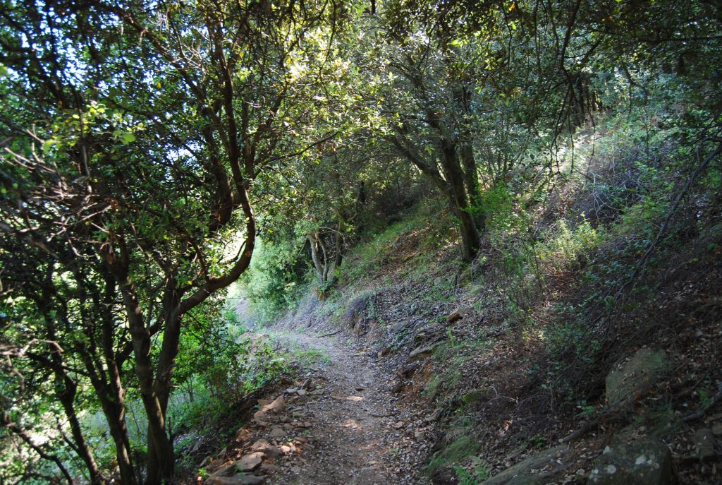
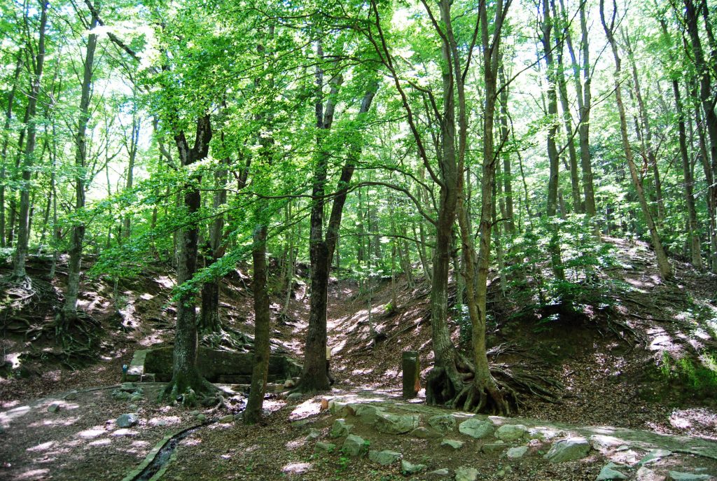
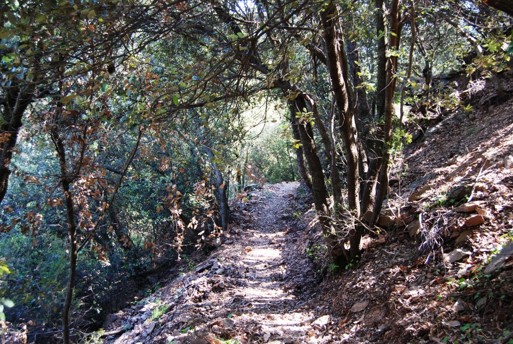
Once refreshed with the waters of Montseny, the route descends along a forest track through beech and chestnut forests, reaching La Fabriqueta d’en Tolín, an old sawmill that bears witness to Montseny’s forestry heritage, and Font de les Nàiades, located next to a well-known campsite in the area. Here, you can once again rest and enjoy a refreshing drink of water. The route then continues downhill for about 950 metres along a small paved road until approximately Can Gorgs, where hikers and cyclists separate at a signpost. The hiking route follows a small path, recently restored after years of abandonment, which was once the traditional route used by the residents of Montseny d’Amunt to reach Sant Marçal. This path descends through woodland until it meets the forest track leading to the farmhouses of Can Riera Moliner, Cal Senyor and Can Fortià.
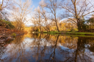
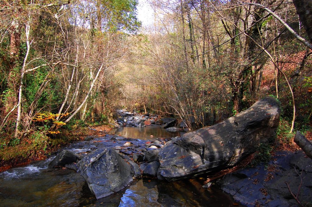
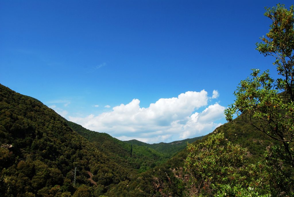
Once the route reaches the BV-5301 road again, approximately halfway through the stage, the hiking route crosses the road and continues along a forest track towards La Llavina, with excellent views of the Tordera River on the left. About halfway along this track, the route joins the GR-5 long-distance trail, which it shares all the way to the village of Montseny. As a result, you will also see the characteristic red-and-white markings of this route. Continuing onwards, the trail passes near Llavina Mill and reaches Llavina Bridge, which crosses the Tordera River. The itinerary then continues with the Tordera now on your right-hand side, gradually climbing first along a forest track and then for a short distance on asphalt until reaching Restaurant Can Besa.
From this point, hikers and cyclists share the same route along the BV-5301 road for approximately 300 metres, after which hikers once again take a small path leading towards the sports facilities of Montseny and continuing into the village centre. Just at the entrance to the village, by the road and next to the bus stop, you can find the route information panel.