The Tourdera section between Castell de Montsoriu and Gaserans is of moderate difficulty, covering 8 km if you follow the variants exclusively for hikers, or 10 km if you use the routes suitable for bicycles. The accumulated positive elevation gain is 104 m for hikers and 167 m for cyclists. At the beginning of the section, you can start with a visit to the castle and enjoy the magnificent views from the top of the hill. Please note that at the end of the route you will arrive in Sant Llorenç de Gaserans, a small settlement with a church but without services, so this should be taken into account when planning your route. You should also be aware that there are variants reserved exclusively for hikers where cycling is prohibited.
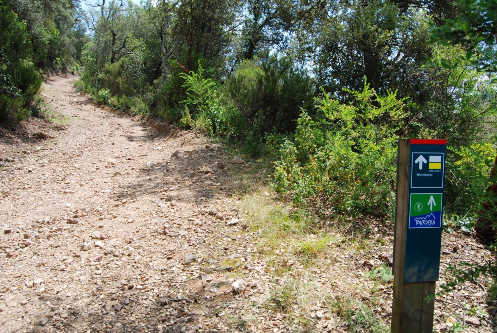
At the start of the section, at Castell de Montsoriu, parking is available at the foot of the hill (Coll de Castellar), but you cannot drive up to the castle, as vehicle access is prohibited. You will need to follow the marked route: for cyclists, this is a track where you will find a barrier preventing cars from passing through, while for hikers it is an attractive path through the forest. In both cases, the routes are signposted and present no difficulty in terms of navigation. To continue towards Gaserans, you will find all the necessary wayfinding signs, and the Tourdera route markers will accompany you throughout the journey. Finally, remember that you will be travelling through a natural and protected environment (Parc Natural del Montseny), so always stay on the signposted route and respect the local flora and fauna at all times.
Cycling variant
The cycling section is longer than the hiking route, with a total length of 10 km. It includes an accumulated uphill elevation gain of 167 m and an accumulated descent of 632 m, so it should also be considered a section of moderate difficulty. As with the hiking variant, the route starts at Castell de Montsoriu, so if you have arrived by car, you will need to park in the car park at the foot of the hill (Coll de Castellar). If you want to go up to the castle, you must do so along the forest track, following the signs, where you will find a chain preventing cars from accessing it. Once at the top, you can take the opportunity to visit it (for more information, please check the castle website) or, above all, enjoy the panoramic views of the surrounding area. However, to continue the route towards Gaserans, you will need to go back down the same way until you find the cycling signs indicating the route to Gaserans by bicycle. Likewise, if you do not want to go up to the castle, once you have left the car in the car park and started the ascent along the track leading to the castle, you should pay attention to these same wayfinding signs and take the route directly towards Gaserans.
Except for this small hiking variant on Turó de Montsoriu, the rest of the route is shared with hikers, mainly through wooded landscapes, mostly cork oak forests, and along forest tracks. As throughout the route, it is important that you do not leave the path and that you follow the safety and nature-respect recommendations, especially because you will be in an area with a high risk of forest fire during the summer.
Finally, you will reach the church of Sant Llorenç de Gaserans, where you will find the route information panel. This is where the section ends, but please note that this is not an urban area with services, so you should plan your return or continuation of the route carefully.
Hiking variant
The Tourdera section from Castell de Montsoriu to Gaserans for hikers is of moderate difficulty: it is 8 km long, with an accumulated uphill elevation gain of 104 m and an accumulated descent of 568 m. The route starts at the information panel located at Castell de Montsoriu, so if you arrive by car, you will need to park at Coll de Castellar, where there is a public car park. From there, you will have to go up to the castle (following the same Tourdera signs), where you can take the opportunity to visit it (for more information, please check the castle website) and, above all, enjoy the panoramic views it offers of the surrounding area. Following the signs you will find at the top, marked with route markers, you will begin the path towards Gaserans, going around the castle, with wayfinding posts and signs.
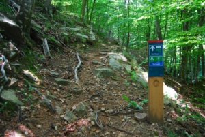
Most of this section runs through wooded landscapes, mainly cork oak forests. The first part of the route, descending from Turó de Montsoriu, is a path through the forest with a considerable slope, but it soon becomes a forest track. The rest of the route mainly follows forest tracks through a Mediterranean woodland environment. As throughout the route, it is important that you do not leave the path and follow the safety and nature-respect recommendations, especially because you will be in an area with a high risk of forest fire during the summer.
At the end of the section, you will reach the church of Sant Llorenç de Gaserans, where you will find the route information panel. This is where the section ends, but please note that this is not an urban area with services, so you should plan your return or continuation of the route carefully.