More information about this section…
If you decide to follow this section of the Tourdera Route between La Batllòria and Sant Celoni, you will find that both hikers and cyclists share the same route, except for a short stretch at the Meandre del Pla de Lloró, where hikers can enjoy a small alternative path that is not suitable for bicycles. In total, the route covers 6.7 kilometres, with a cumulative ascent of 55 metres, as you will be travelling upstream along the Tordera River. Even so, it is considered a low-difficulty section.
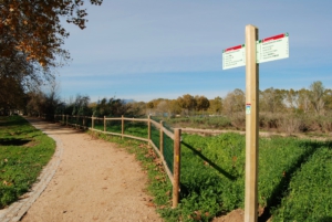
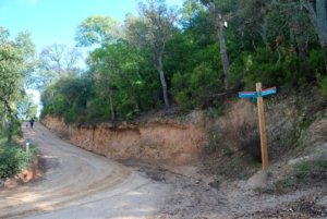
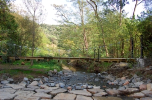
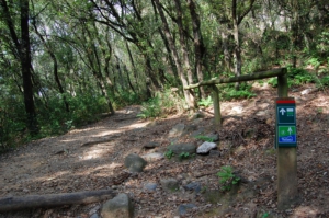
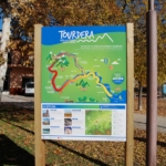
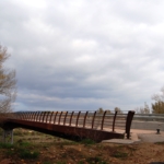
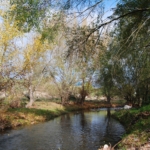
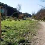
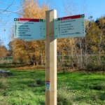
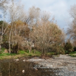
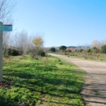
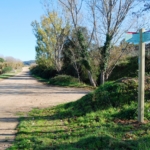
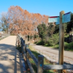
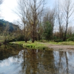
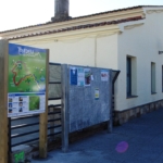
The route begins on Carrer de la Tordera in La Batllòria, where the route information panel is located. From there, you should walk down the street in a southward direction, following the wayfinding signs until you reach the La Batllòria bridge. Before leaving La Batllòria, you may wish to visit the Church of Mare de Déu de l’Esperança or stop at one of the local shops, bars or restaurants. Once you cross the bridge, you should head towards Sant Celoni by turning right, as indicated by the signposts. After crossing the bridge, you will continue along a track with very little traffic until, approximately 5.5 kilometres later, you reach the Can Pàmies footbridge, which provides access to Sant Celoni, specifically to the railway station. Along this track, you will enjoy several views of the Tordera River along its middle course. However, if you are walking, shortly after crossing the La Batllòria bridge you will find a small alternative route for hikers that adds a few extra metres and follows this meander of the Tordera River. A little further on, you may also take a detour, crossing the Tordera via a small ford, to reach Gualba de Baix. All these points are clearly indicated by the route signage.
Both Sant Celoni and La Batllòria offer services associated with the route, especially bars, restaurants and shops where you can stock up on supplies or take a short break. Both locations also have railway stations. Finally, Sant Celoni also has a tourist information office.