More information about this section…
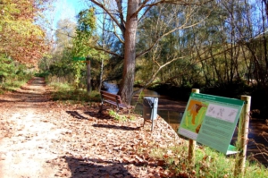
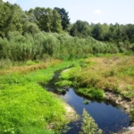
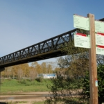
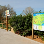
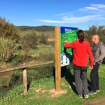
The Tourdera Route section between Tordera and Fogars de la Selva is shared throughout its entire length by both hikers and cyclists. In total, it covers approximately 7.3 kilometres, with a cumulative ascent of 83 metres, making the overall difficulty of the route low. At the start of the route, in front of the Pont de Ferro in Tordera, you can enjoy excellent views of the river and consult the route information panel located nearby. Parking is also available in this area if you arrive by car. Please note that Sundays are market days in Tordera, and the market attracts a large number of visitors every week, so the first sections of the route can be quite busy and parking availability may be limited.
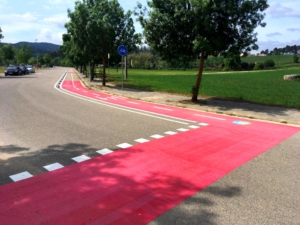
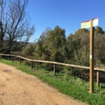
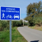
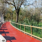
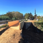
To begin the route, simply follow the route signposts in the direction of Fogars de la Selva. You will soon find yourself walking alongside the Tordera River on a fully separated path that forms the Tordera riverside promenade and extends for more than one kilometre heading north towards Fogars. Along this section, you will also find places to rest equipped with tables and benches. Upon reaching the old road from Tordera to Fogars, you will need to cross a wooden footbridge and join the road. This section is paved and shared, and the road signage clearly and regularly indicates that it is shared by vehicles, hikers and cyclists, while also incorporating several traffic-calming features.
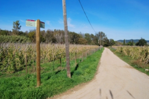
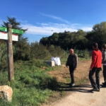
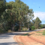
During this part of the route, you will pass through Pla de la Júlia, where you will find the Estany de la Júlia, a small pond included in the PEIN protected natural areas network. As you approach Fogars de la Selva, specifically near the Parc dels Prínceps residential area, you will find that for around 1,000 metres there is no need to walk on asphalt, as a separate compacted-earth path runs parallel to the road. From the residential area, a route signpost will indicate a detour to the Museu de la Pagesia de Fogars (1,400 m away), where you can explore a recreation of a traditional Catalan farmhouse and an exhibition of farming tools.
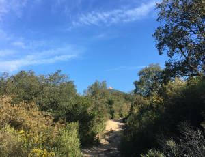
If you continue along the Tordera Route, you will climb to the Turó de Can Simó, the site of the first settlements in Fogars. This is the highest point of the itinerary, but once you reach the summit, in just over 700 metres you will arrive at the Church of Sant Cebrià de Fogars, the end of the route. Beside the church, you can see the comunidor, one of the few surviving examples in Catalonia. These structures, built next to churches, were used for religious rituals closely linked to ancestral folklore, intended to ward off calamities such as storms, floods and plagues. In front of Sant Cebrià, you will find the Tourdera Route information panel, marking the end of this section.