More information about this section…
If you have already decided to complete this section of the Tourdera route between Sant Celoni and La Batllòria, you will see that both hikers and cyclists follow the same route, except for a short stretch at the Meandre del Pla de Lloró, where hikers can enjoy a small alternative route that is not suitable for bicycles. In total, the section is 6.7 kilometres long, with no uphill elevation gain, as you will be following the Tordera downstream. It is therefore a very easy section.
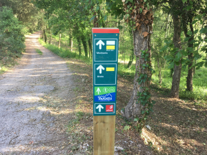
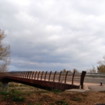
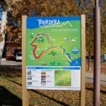
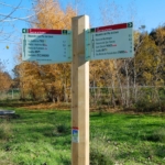
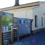
The route begins at Sant Celoni railway station, where you will find the route information panel. From there, you will immediately see the first small wayfinding sign attached to a streetlight, indicating the direction towards Carrer d’Esteve Mogas. Halfway along this street, and still following these small signs, you will cross beneath the railway tracks through an underpass and begin the descent towards the Tordera, passing through an industrial area until you reach the Can Pàmies footbridge, which allows you to cross the river.
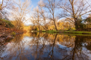
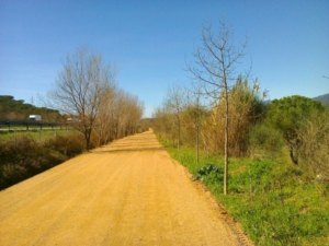
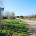
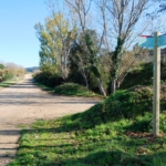
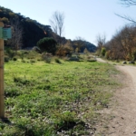
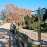
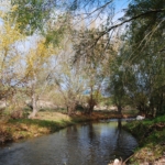
From this point, follow the direction towards La Batllòria, always paying attention to the route signs to avoid taking the wrong path. The route follows a track with very little motorised traffic. For approximately 5.5 kilometres, you will continue along this track, enjoying different views of the Tordera River in its middle course, until you reach the La Batllòria bridge, which you must cross to enter the village and complete the section.
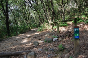
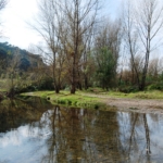
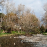
Before reaching La Batllòria, you will find a short variant reserved for hikers, which extends the route slightly and follows this meander of the Tordera River. At this point, you may also make a detour towards Gualba de Baix by crossing the Tordera via a small ford. All of these points are clearly indicated by the route’s signposts.
Both Sant Celoni and La Batllòria offer services associated with the route, particularly bars, restaurants, shops and railway stations. In addition, Sant Celoni also has a tourist information office.