More information about this section…
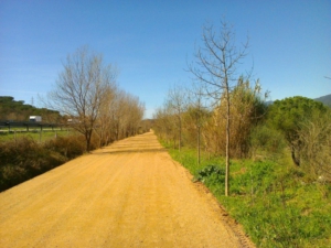
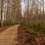
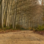
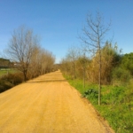
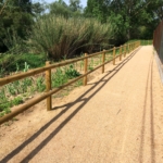
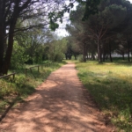
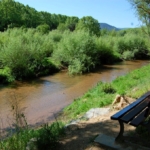
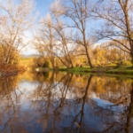
The Tourdera section between La Batllòria and Hostalric is a very easy walk of between 8 and 12 kilometres, depending on where you choose to finish your route in Hostalric. It is a very flat section with minimal elevation changes, allowing you to discover the natural heritage of the Tordera River banks, the final stretch of the Arbúcies Stream (a PEIN and Natura 2000 protected area), and the Llobateres wetland. At the same time, this section offers the opportunity to discover the cultural heritage associated with the medieval town of Hostalric (the Fortress, the walled enclosure, the Torre dels Frares, etc.). You may also make a detour to the Gorg d’en Perxistor (signposted from the route), a commemorative monument marking the site of a pool where, according to tradition, Ramon Berenguer II, Cap d’Estopes, was murdered by his brother Berenguer Ramon the Fratricide.
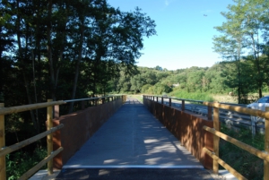
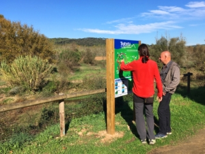
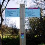
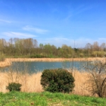
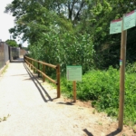
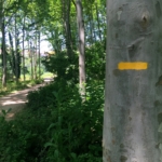
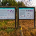
To follow the route, you will find the starting information panel in La Batllòria between Carrer de la Tordera and Carrer de les Escoles. There, where parking is available, you should head downhill towards the football field and the Tordera River, following the route signs. Once you cross the river via the footbridge, you will join the main route, which you should follow to the left towards Hostalric. At all times, pay attention to the wayfinding signs and the yellow painted trail markers. During much of the route, you will be accompanied by the Tordera River, although at certain points the path moves slightly away from it. Approximately halfway along the section, you will pass through the Llobateres wetland, a former gravel extraction site that has been restored as a wetland area, where you may stop at one of the birdwatching hides. Shortly before reaching Hostalric, you will come across the Arbúcies Stream, just before its waters join those of the Tordera River. In this area, you will also find the junction between the main Tourdera route and the Arbúcies Stream itinerary.
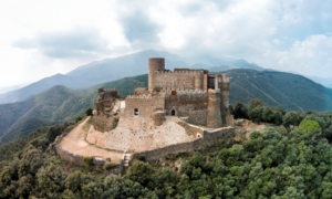
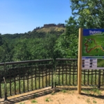
When you reach Hostalric, you may finish the section at the sports area, just after crossing the Arbúcies Stream, or continue alongside the Tordera River to the historic centre of Hostalric, where you will find the Tourist Office. If you still have some energy left, you can take the opportunity to visit the town and explore its medieval heritage, dominated by its impressive Fortress. Remember that Hostalric has a railway station and that very close to La Batllòria (500 m) you will find Gualba railway station, which is also served by the route. This may be an excellent opportunity to reach the route easily and to return home afterwards.