Section Tourdera Mosqueroles – Sant Esteve de Palautordera
Descripció del tram
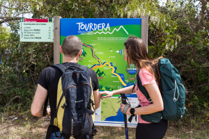
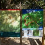
The Mosqueroles–Sant Esteve de Palautordera section is approximately 5 kilometres long and of moderate difficulty. It includes a variant exclusively for hikers and another variant for cyclists. The section begins in the village of Mosqueroles, which belongs to the municipality of Fogars de Montclús, where parking is available together with several visitor services, including the Montseny Natural Park Information Office, where tourist information is provided, and a restaurant. The route starts in front of the Town Hall, where the route information panel is located, and continues through the village towards Sant Esteve de Palautordera.
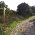
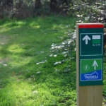
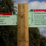
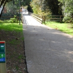
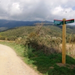
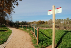
By following the signs provided throughout the route, whether wayfinding posts or trail markers, you will be able to complete the itinerary and enjoy a pleasant walk through the protected natural environment of the Parc Natural del Montseny. It is important to remain on the marked route at all times and to respect the local flora and fauna.
Please note that the route includes a variant exclusively for hikers, allowing a 600-metre detour to visit Montclús Castle.
Cycling variant
The cycling variant, which is 5.1 km long, follows the same route as the hiking variant for its entire initial section up to the area around the Church of Santa Magdalena (1,100 metres). From this point onwards, cyclists, as indicated by the route signposts, should continue along the same forest track on a pleasant descent that passes by the CRIC Circus, through Mediterranean woodland.
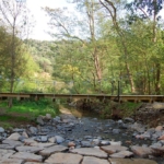
Shortly after passing the circus, you will need to cross the Tordera River and, within a few metres, you will arrive in Sant Esteve de Palautordera. There, you can visit the Church of Sant Esteve and take advantage of the services available in the town, including the tourist information point, shops, restaurants, bars and other facilities.
Hiking variant
The hiking variant of this section is 4.9 km long and begins in front of the Town Hall of Sant Esteve de Palautordera, where you will find one of the route information panels. Following the waymarkers and signposts, hikers should head towards the BV-5119 road and the access area to Masia Mariona, the headquarters of the Montseny Natural Park and a tourist information centre. Before setting off, you may wish to visit the Church of Sant Martí de Mosqueroles.
Although the initial part of the route requires walking approximately 500 metres along the BV-5119 road, which carries little traffic, the remainder of the itinerary follows very quiet tracks and footpaths.
After walking around 1,100 metres, you will reach the Church of Santa Magdalena, a Romanesque building included in the Architectural Heritage Inventory of Catalonia, although it is not open to visitors inside. Continuing along the same forest track, about 300 metres further on, hikers and cyclists separate, following the directions indicated by a route signpost.
On this hiking variant, you will descend along a steep forest track. Once you reach the bottom, just before arriving at the Tordera River, you may make a 600-metre detour to visit Montclús Castle, an 11th-century fortress declared a Cultural Asset of National Interest and formerly owned by the Viscounts of Cabrera.
To continue the itinerary, you must return to the main route and proceed towards the village of Sant Esteve de Palautordera, passing very close to the Font de Sant Antoni. By making a short detour from the path, you can refill your water supplies there.
In Sant Esteve de Palautordera, you can visit the Church of Sant Esteve and take advantage of the services available in the village, including the tourist information point, shops, restaurants, bars and other facilities.
Detalls del tram
Bicicleta | ||
|---|---|---|
Nivell | Moderada | |
Distància | 5,1 km | |
Desnivell + | 24 m | |
Desnivell – | 197 m |
Senderisme | ||
|---|---|---|
Nivell | Fàcil | |
Distància | 4,9 km | |
Desnivell + | 38 m | |
Desnivell – | 196 m |