Section Tourdera Montseny – Sant Marçal
Descripció del tram
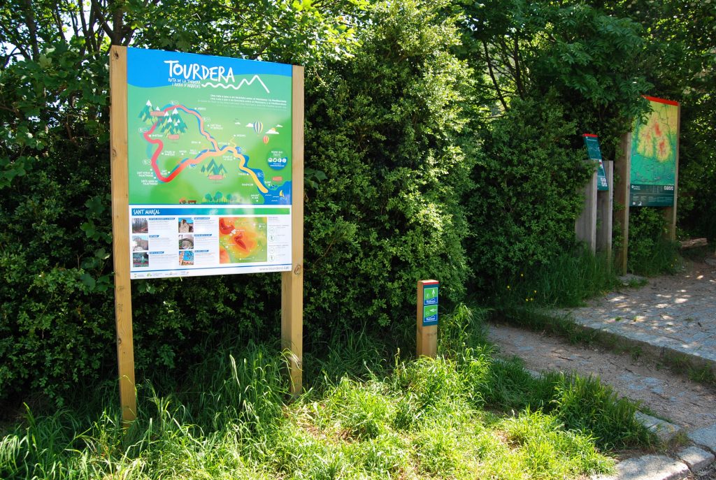
The Montseny–Sant Marçal section is a very demanding route of approximately 11 kilometres in length, requiring hikers and cyclists to overcome a considerable elevation gain. The route begins in the village of Montseny, where parking is available, along with services such as a tourist information office, restaurants and accommodation. More specifically, the starting point is located at the bus stop next to the entrance to the village from the BV-5301 road, where you will also find the route information panel.
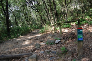
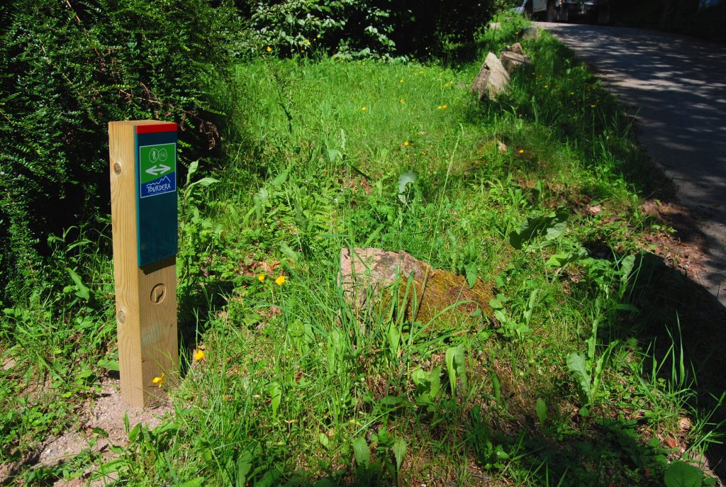
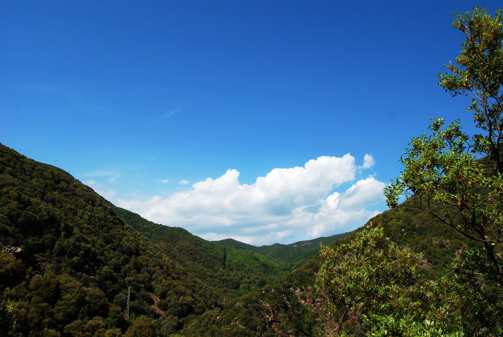
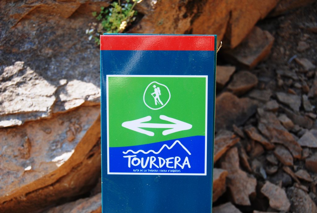
By following the signs provided throughout the route, whether wayfinding posts or trail markers, you will be able to complete the itinerary and enjoy a rewarding walk through the protected natural environment of the Parc Natural del Montseny. It is important to remain on the marked route at all times and to respect the local flora and fauna.
Please note that this section includes several variants reserved exclusively for hikers, either because they cross private property where bicycles are not permitted or because of the potential impact that cycling may have on the natural environment. For this reason, cyclists wishing to follow the route should pay close attention to the signage and follow the designated alternative routes where indicated.
Cycling variant
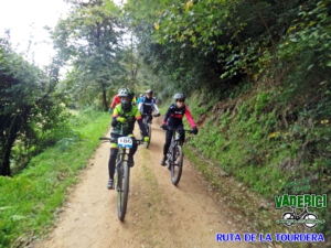
The cycling variant of this section mainly follows the BV-5301 road uphill. In this case, the route is 11.9 km long, with a total ascent of 995 m and a descent of 401 m. From the starting point, follow the road towards El Brull and Seva until you reach the junction for Les Illes, where a vertical Tourdera signpost indicates the change of direction.
Along the ascent, you will encounter three additional signposts reinforcing the route guidance. These coincide with points where the hiking variant either crosses or follows the same route as the cycling variant.
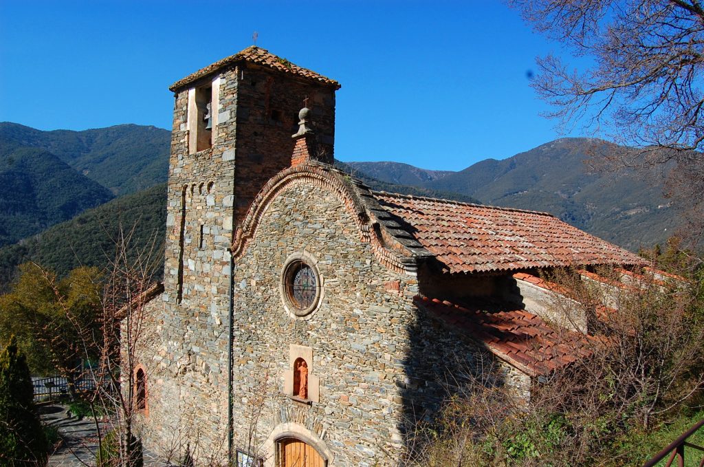
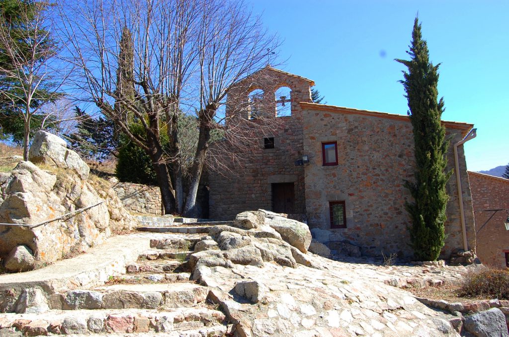
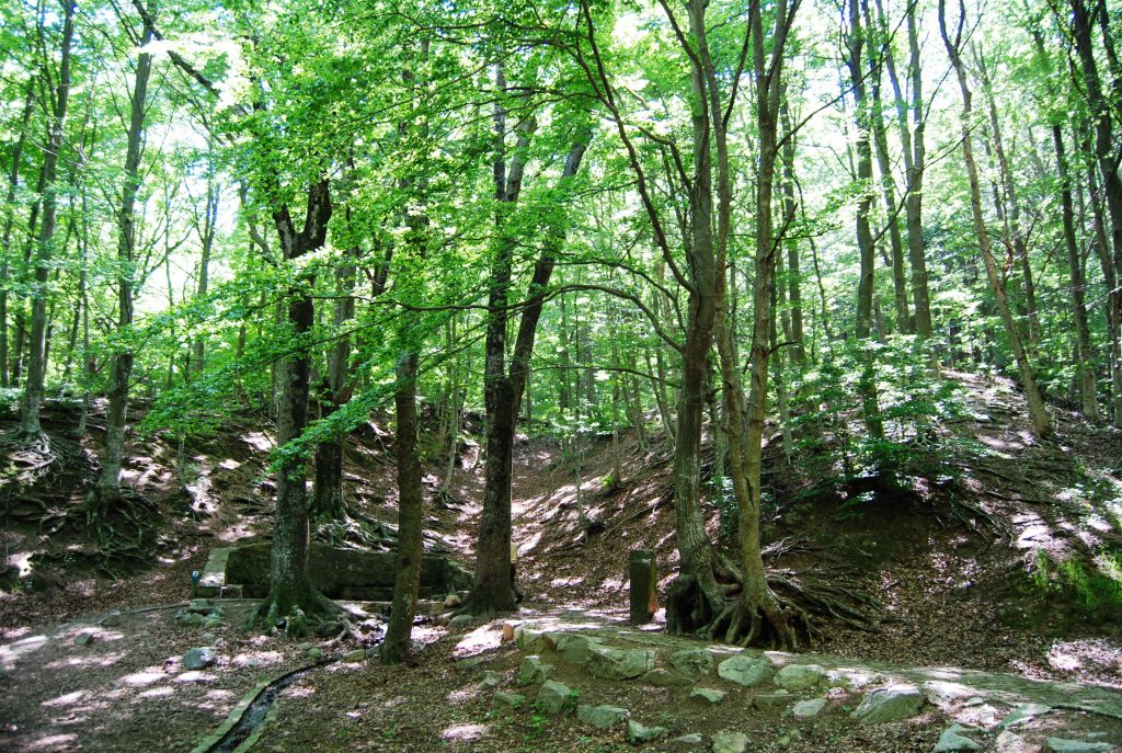
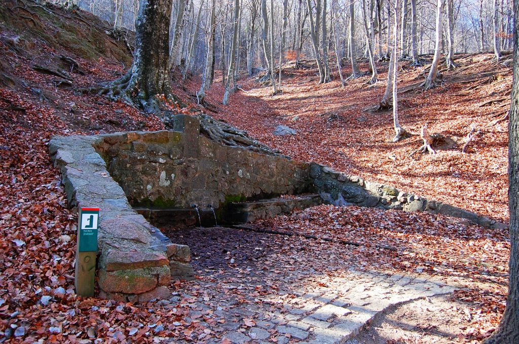
This variant follows paved roads as far as the Les Illes campsite, where you will find the Font de les Nàiades and where the climb continues along a forest track. Towards the end of the section, you will first reach Font Bona, the source of the Tordera River, and, just a few metres further uphill, Sant Marçal.
Although much of the route is on paved surfaces, the section between the Les Illes campsite and Sant Marçal follows a forest track, making the use of a mountain bike (MTB) highly recommended.
Hiking variant
From the starting point of the route, you will see on the opposite side of the road the first wayfinding sign, where the route for cyclists diverges from the one for hikers. If undertaken on foot, this is a very demanding section, with a length of 11.1 km, including a total ascent of 879 m and a descent of 287 m. During much of the first part of the route, the itinerary coincides with the GR-5 long-distance trail, so the Tourdera waymarks and the GR trail markers (red and white) coexist.
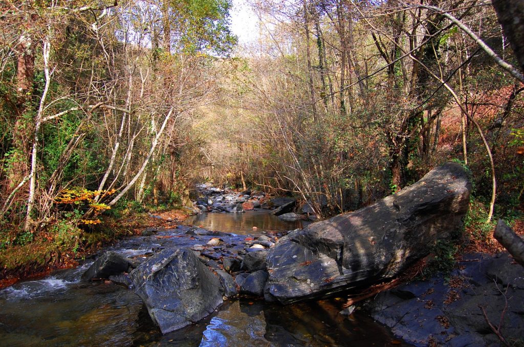
To begin the route, descend a short distance towards Can Pau, passing right beside it, where the track gradually becomes a footpath leading to the sports facilities. From there, continue along a path until it joins the BV-5301 road, which must be followed for about 300 metres to the Can Besa restaurant. From the restaurant, the route descends, first along a paved road and then along a forest track, until reaching the Tordera River itself. The river remains on your left-hand side until you reach the Pont de la Llavina, where you cross to the opposite bank.
Following the route signage, continue along a forest track, passing close to the historic Molí de la Llavina and leaving the GR-5 behind, until you once again reach the BV-5301 road, which must be crossed.
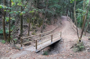
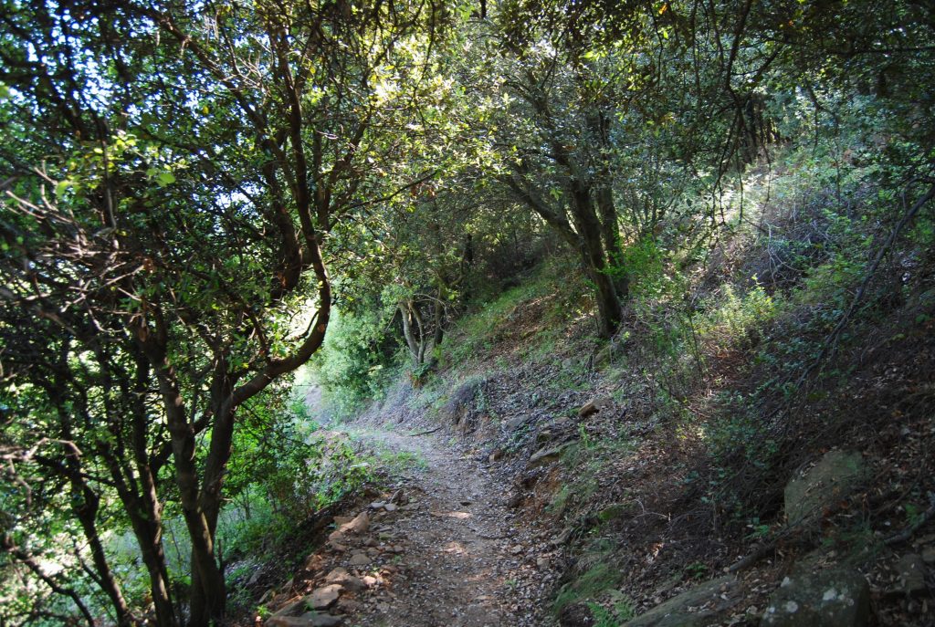
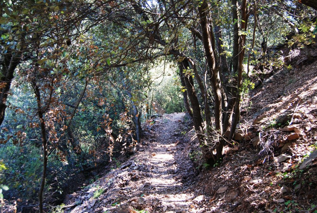
From this point, roughly halfway through the section, the route begins to climb. It first follows the forest tracks leading to Can Fortà, Cal Senyor and Can Riera Moliner, and then continues along the old path from Montseny d’Amunt to Sant Marçal. This historic trail, which has been restored, offers a pleasant walk through the forests of Montseny and passes through places such as the Sot de Cortils, where, depending on the amount of water, you may need to carefully pick your way across without getting your feet wet.
The trail eventually reaches the Les Illes road, which must be followed on asphalt for approximately 900 metres, with the Tordera River close by, until you arrive at the Font de les Nàiades, a good place to rest and enjoy a refreshing drink of water. From this point, where there is also a campsite, the route continues along a forest track to Font Bona, the source of the Tordera River, and finally to Sant Marçal, where the section ends and where you will find another Tourdera route information panel.
Detalls del tram
Bicicleta | ||
|---|---|---|
Nivell | Molt exigent | |
Distància | 11,9 km | |
Desnivell + | 995 m | |
Desnivell – | 401 m |
Senderisme | ||
|---|---|---|
Nivell | Molt exigent | |
Distància | 11,1 km | |
Desnivell + | 879 m | |
Desnivell – | 287 m |