Section Tourdera Blanes – Malgrat de Mar

Descripció del tram

The section of the Tordera Route between Blanes and Malgrat de Mar is a very flat walk, ranging between 10 and 11 kilometres depending on the variant you choose. The route follows forest tracks and runs almost entirely alongside the Tordera River. Both Blanes and Malgrat de Mar offer a wide range of tourist services, as they are part of two leading tourist destinations. To complete the itinerary, which is suitable for both hiking and cycling, simply follow the Tourdera signage and/or the yellow waymarking painted along the route.

Shortly after starting the route (from the Blanes riverbed), or just before finishing it (from the Malgrat riverbed), we recommend making a detour to the mouth of the Tordera River, an important natural area used by many migratory birds as a stopover on their journey south. There, you will find observation viewpoints overlooking the protected area. For this reason, both at the river mouth and along the rest of the route, it is important to follow all recommendations regarding respect for nature. Directional signs will indicate the detour to the river mouth from both sides of the river.

Variant 1 (long route – via the Palafolls road bridge)

The two route variants we propose for travelling from Blanes to Malgrat de Mar are practically identical. The only difference is the point where the Tordera River is crossed.

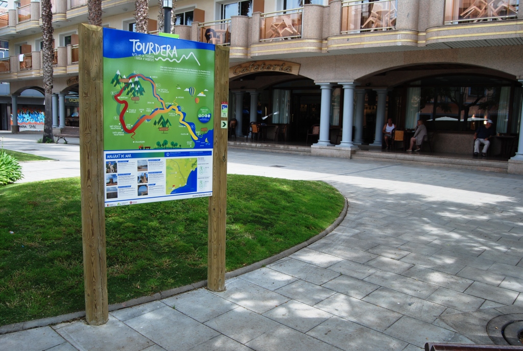
To follow Variant 1 of the section between Blanes and Malgrat de Mar, you will start the route in front of Sa Palomera, the well-known point considered to mark the beginning of the Costa Brava. More specifically, the route starts in front of Plaça Catalunya, where the tourist office is located and where you will find the route information panel. On the same panel, you will already see a marker indicating the path you need to follow to begin. During the first few hundred metres of the route, you will see that it runs along the seafront promenade of s’Abanell beach. However, you should pay attention whether you are doing the route on foot or by bicycle, as hikers should stay on the promenade, while cyclists should use the cycle lane. To follow the route, simply follow all the route signs (directional signposts) and the yellow painted waymarks. The code used for these yellow marks is typical of any route marked with paint: a single line means you are on the right path, a cross means you are on the wrong path, and a 90-degree angle mark indicates a sudden change of direction or turn. This variant is approximately one kilometre longer than Variant 2.

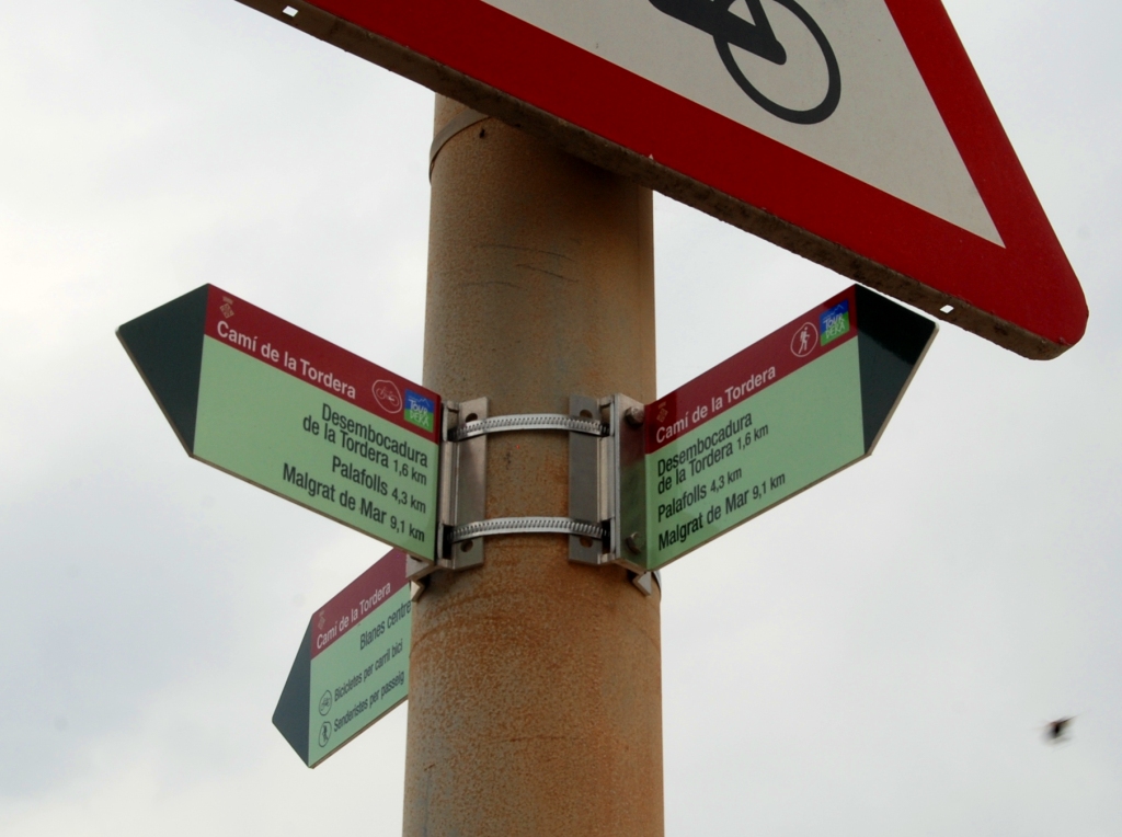
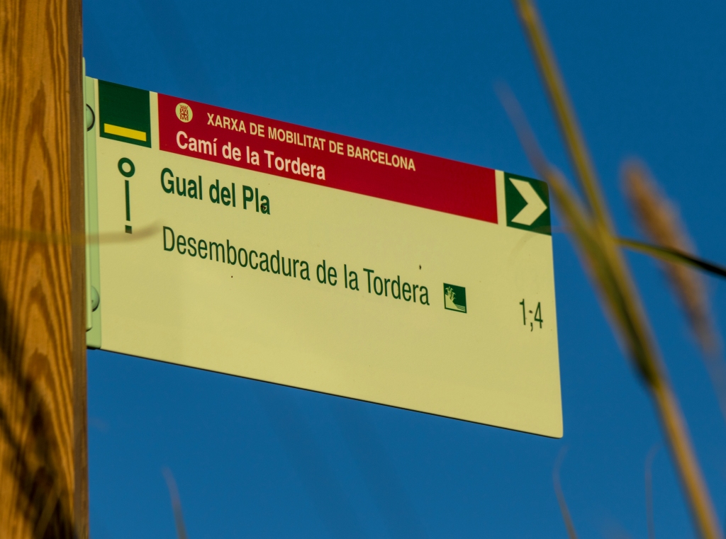
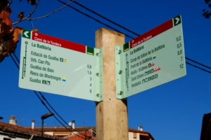
Before reaching the end of the s’Abanell promenade, you will see that the route enters the Els Pins neighbourhood, always following the signage, taking Avinguda Vila de Madrid towards the Tordera River. Throughout this urban section, the signposts you will find are small signs placed on streetlights or traffic signs, while once you leave the urban area they become the typical signposts mounted on wooden posts. When you reach the Tordera River, you will find a signpost offering you the possibility of reaching the desembocadura de la Tordera. There you will find the lagoon that forms before the river flows into the sea, an area that is home to an important presence of birds, which require peace and quiet. You will be able to observe the desembocadura de la Tordera from the viewpoint located at the end of the path.

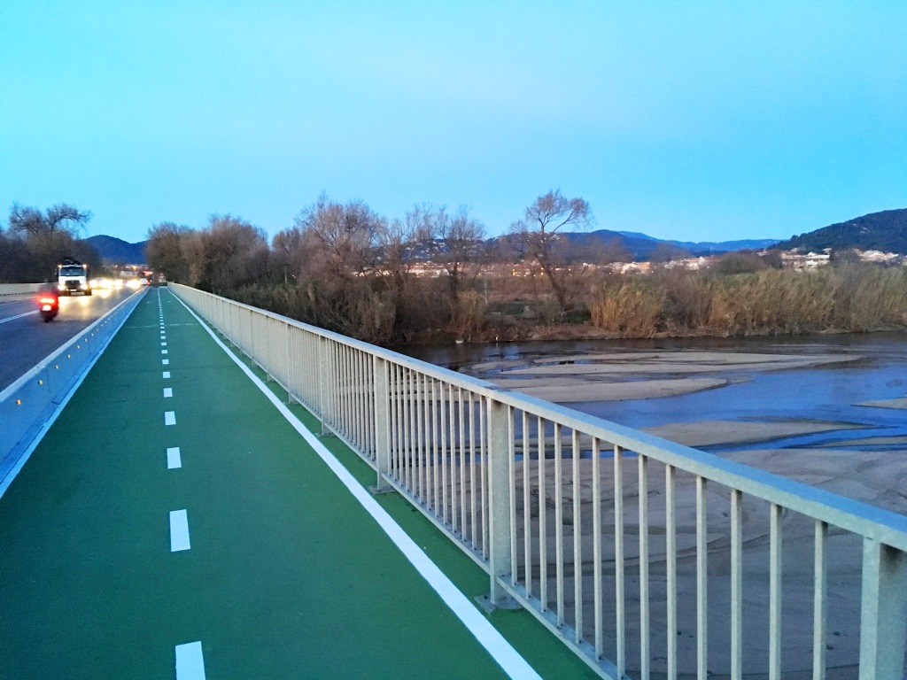
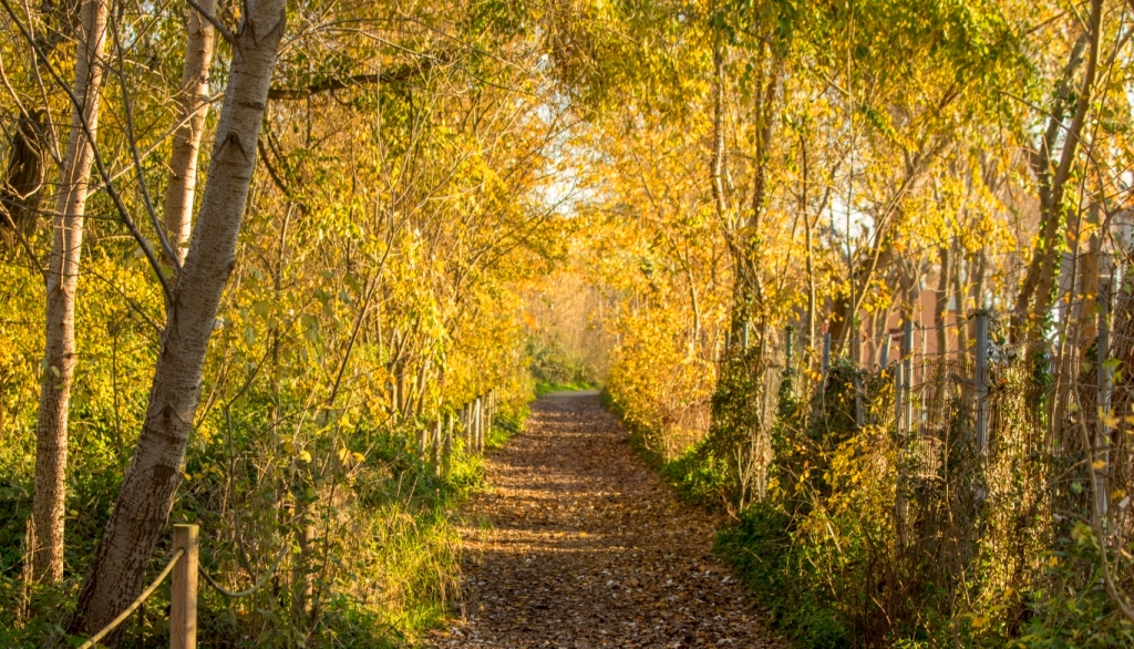
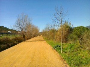
Resuming the route, you should follow the track running parallel to the Tordera River, always following the signage, until you reach the road from Palafolls to Blanes. At this point, you will find a ramp with a signpost indicating the way to the bridge, allowing you to cross the river in complete safety and fully separated from road traffic. On the other side of the bridge, another ramp will allow you to access the lower track and, there, you should pay attention to the signpost indicating the way to Malgrat, which is downstream along the Tordera. Along a forest track, you will head directly towards the market garden areas of the delta de la Tordera.

Once you are fully within the market garden area, you will need to take an asphalted track with the Tordera River on your left and the fields on your right. Pay attention, because after a few metres you will reach the Gual del Pla, a crossing area through the Tordera riverbed where you will find a signpost. At this point, the route leaves the Tordera River and heads towards Malgrat along the paths of El Pla and Mas Bages. However, from this point you can also head to the desembocadura de la Tordera by taking a 1.4-kilometre detour, where you will be able to observe the lagoon from the viewpoint located at the end of the path. Once you resume the route, you will pass behind the beaches of Malgrat, which are home to dune vegetation protected by fencing and which you must not access at any time (see recommendations). The section ends at Malgrat de Mar train station.
Variant 2 (short route – via the Tordera bridge)

To follow Variant 2 of the section between Blanes and Malgrat de Mar, you will also start the route in front of Sa Palomera, the well-known point considered to mark the beginning of the Costa Brava. More specifically, the route starts in front of Plaça Catalunya, where the tourist office is located and where you will find the route information panel. On the same panel, you will already see a marker indicating the path you need to follow to begin. During the first few hundred metres of the route, you will see that it runs along the seafront promenade of s’Abanell beach. However, you should pay attention whether you are doing the route on foot or by bicycle, as hikers should stay on the promenade, while cyclists should use the cycle lane. To follow the route, simply follow all the route signs (directional signposts) and the yellow painted waymarks. The code used for these yellow marks is typical of any route marked with paint: a single line means you are on the right path, a cross means you are on the wrong path, and a 90-degree angle mark indicates a sudden change of direction or turn. This variant is approximately one kilometre shorter than Variant 1.

Before reaching the end of the s’Abanell promenade, you will see that the route enters the Els Pins neighbourhood, always following the signage, taking Avinguda Vila de Madrid towards the Tordera River. Throughout this urban section, the signposts you will find are small signs placed on streetlights or traffic signs, while once you leave the urban area they become the typical signposts mounted on wooden posts. When you reach the Tordera River, you will find a signpost offering you the possibility of reaching the desembocadura de la Tordera. There you will find the lagoon that forms before the river flows into the sea, an area that is home to an important presence of birds, which require peace and quiet. You will be able to observe the desembocadura de la Tordera from the viewpoint located at the end of the path.

Resuming the route, you should follow the track running parallel to the Tordera River, always following the signage, until you reach the road from Malgrat to Blanes, where the Tordera bridge is located. At this point, you will find a signpost with directions to reach Malgrat via this bridge, following the shorter variant we propose. On the other side of the bridge, you will need to take the first turning on the left and follow the asphalted path running parallel to the Tordera River.

Once you are fully within the market garden area, with the Tordera River on your left and the fields on your right, pay attention, because after a few metres you will reach the Gual del Pla, a crossing area through the Tordera riverbed where you will find a signpost. At this point, the route leaves the Tordera River and heads towards Malgrat along the paths of El Pla and Mas Bages. However, from this point you can also head to the desembocadura de la Tordera by taking a 1.4-kilometre detour, where you will be able to observe the lagoon from the viewpoint located at the end of the path. Once you resume the route, you will pass behind the beaches of Malgrat, which are home to dune vegetation protected by fencing and which you must not access at any time (see recommendations). The section ends at Malgrat de Mar train station.
Detalls del tram

Bicicleta
Nivell
Fàcil
Distància
(Variant 1) 11,1 km (Variant 2) 10 km
Desnivell +
(Variant 1) 8 m (Variant 2) 8 m
Desnivell –
(Variant 1) 7 m (Variant 2) 9 m
Senderisme
Nivell
Fàcil
Distància
(Variant 1) 11,1 km (Variant 2) 10 km
Desnivell +
(Variant 1) 8 m (Variant 2) 8 m
Desnivell –
(Variant 1) 7 m (Variant 2) 9 m

Imatges