More information about this section…
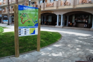
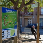
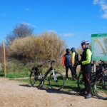
To complete the Tourdera section between Palafolls and Malgrat de Mar, which follows the same route for both hikers and cyclists, you will cover a total distance of 7.1 kilometres with no uphill elevation gain, making the overall difficulty of the route very low. At the start of the route, at the junction of Avinguda Pau Casals and Avinguda de la Ribera de la Burgada, you will find a route information panel and nearby parking facilities. You may also wish to take the opportunity to visit some of Palafolls’ distinctive buildings, designed by renowned architects, such as El Palauet and the library, or enjoy the town’s range of services, including shops, bars and restaurants.
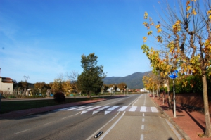
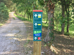
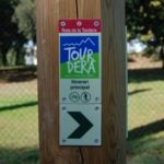
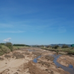
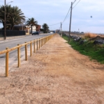
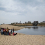
You will begin the route by following Avinguda Pau Casals in a south-easterly direction, as indicated by the route signpost. After only a short distance, you will pass El Palauet and, shortly afterwards, the library, both architecturally distinctive landmarks designed by well-known architects. You will then join a cycle lane that leads to the Tordera Riverside Park, an area beside the Tordera River featuring two ponds. This will connect you directly with the riverside path along the Tordera, which you will follow towards Malgrat de Mar.
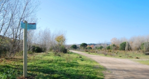
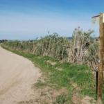
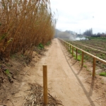
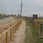
After passing beneath the GI-682 road (between Blanes and Palafolls), you will pass the Palafolls Drinking Water Treatment Plant and continue alongside the Tordera all the way to the delta area, at Pla de Mas Bages. More specifically, after crossing the BV-6001 road, you will enter the municipality of Malgrat de Mar. A few metres further on, you will see that the route follows a path separated from traffic along the top of the Tordera river embankment.
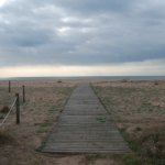
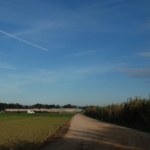
If you continue straight ahead, you will reach the Pla ford, a point where you can either continue towards the mouth of the Tordera River or turn towards the town of Malgrat de Mar via the Camí del Pla. At this point, extra care should be taken, as this is a paved road shared with motor vehicles. Along this section, you will pass through the market gardens of the Tordera Delta before reaching the beaches of Malgrat, where you will once again follow a path separated from traffic, running just behind the dune vegetation along the shoreline.
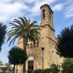
Once you arrive in Malgrat de Mar, you will find all the services typically available in a seaside tourist town. You will also pass the railway station, located at the end of this section of the route.