More information about this section…
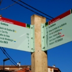
The section between Riells i Viabrea and La Batllòria is a short walk of barely 2 kilometres in length, very easy and with no elevation gain, linking the Town Hall of Riells i Viabrea (Can Salvà) with the village of La Batllòria. To follow the route, simply follow the wayfinding signs, which may be the standard signposts mounted on wooden poles or smaller signs attached to existing street furniture (lampposts, traffic signs, etc.), especially in urban areas. You will also find yellow painted route markers, which follow the standard code used on waymarked trails: a single line indicates that you are on the correct path, a cross indicates that you are on the wrong route, and a 90-degree angle mark indicates a sharp change of direction or turn.
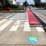
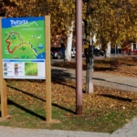
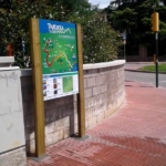
The section begins in front of the Town Hall of Riells i Viabrea, at Can Salvà, where the route information panel is located. Parking is available throughout the surrounding area. Following the signs, you will head west along an initial stretch where cyclists must dismount and walk their bicycles, as for approximately 200 metres the route follows the pavement shared with walkers. After these 200 metres, cyclists may remount and continue riding freely. From this point onwards, you will notice various improvements made to enhance the safety of route users, particularly through painted markings and vertical warning signs aimed at motor vehicle drivers.
Continuing on, the route runs parallel to the railway line along Avinguda Ferrocarril until reaching an underpass beneath the tracks that leads to Carrer de Santa Fe. Following the signs, you will arrive at the C-35 road, which must be crossed through a completely safe underpass. If you are travelling by bicycle, there is also a small side ramp next to the stairs to facilitate moving your bike through the underpass.
On the other side of the road, you will already be in La Batllòria, which belongs to the municipality of Sant Celoni. Following the route markings, you will pass by the Church of Mare de Déu de l’Esperança before reaching the end of the section, where you will find another route information panel.