More information about this section…
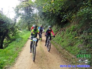
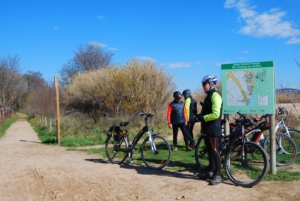
The Tourdera section between Sant Celoni and Santa Maria de Palautordera follows the same route for both hikers and cyclists throughout its entire length. It is a 6.3-kilometre section with a total ascent of 56 metres, although the overall difficulty can be considered low.
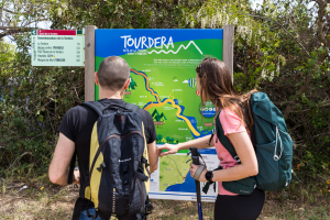
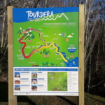
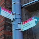
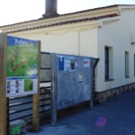
The route begins at Sant Celoni railway station, where you will find the route information panel. From there, you will immediately spot the first small wayfinding sign attached to a streetlight, indicating the direction towards Carrer d’Esteve Mogas. Halfway along the street, still following these small signs, you will cross beneath the railway tracks through an underpass and begin the descent towards the Tordera, passing through an industrial area until you reach the Can Pàmies footbridge, which allows you to cross the river.
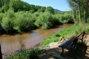
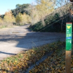
Once across the footbridge, and following the signs towards Santa Maria, you should continue upstream along the Tordera on a forest track. After approximately 800 metres, this track joins the BV-5112 road, which you will need to follow for about 150 metres using its wide shoulder, heading towards the neighbourhood of Pont Trencat while continuing to follow the route signs.
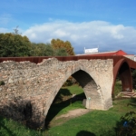
This settlement, which belongs to Santa Maria de Palautordera, takes its name from the Gothic-style bridge that you will cross a few metres later. The bridge was once part of the famous Via Augusta and had to be extensively restored after suffering severe damage during the Peninsular War.
Continuing along the route, you will follow tracks to the area known as Sot de les Granotes, where the route briefly passes along the edge of the urban area. Once within the municipality of Santa Maria de Palautordera, you will arrive at Parc dels Enamorats, where you will find a fountain and a rest area.
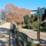
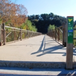
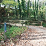
Resuming the route, you will continue alongside the Riu-sec, which, despite its name (“Dry River”), usually carries water and is crossed by a wooden footbridge. Once on the opposite bank, you will climb a gentle slope and follow a forest track through farmland. The route passes by the Santa Maria wastewater treatment plant, crosses beneath the high-speed rail line and finally leads to a metal footbridge over the Tordera.
Shortly after crossing the footbridge, you will reach the Serra neighbourhood, within the town of Santa Maria de Palautordera. We recommend continuing a little further to explore the town centre, where you will find services such as bars, restaurants, a tourist information office and shops. You may also choose to return by train if you are willing to continue for another 3.5 kilometres to the railway station.