More information about this section…
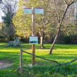
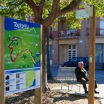
To complete the Tourdera section between Palafolls and Tordera, which follows the same route for both hikers and cyclists, you will cover a total distance of 6.3 kilometres, with a cumulative ascent of only 43 metres, making the overall difficulty of the route very low. At the start of the itinerary, at the junction of Avinguda Pau Casals and Avinguda de la Ribera de la Burgada, you will find a route information panel, nearby parking facilities and the opportunity to visit some of Palafolls’ most distinctive buildings, designed by renowned architects, such as El Palauet and the town library. You can also take advantage of the services available in Palafolls, including shops, bars and restaurants.
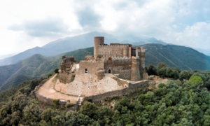
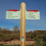
The route begins by following Avinguda Pau Casals northwards, in the direction indicated by the route signpost. Before reaching the end of the avenue, however, you will have the opportunity to make a detour to Palafolls Castle, located 1,400 metres from the route. A small sign attached to a lamppost indicates the way to the castle via Carrer Camí del Castell.
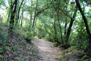
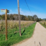
If you continue along the main route, just outside the town you will take a forest track running between trees, which leads to the Pla de Mas Tortòs, an agricultural area known for its extensive plant nurseries. From there, you may also make a short detour to visit the Molí d’en Puigverd, home to the non-profit private foundation El Molí d’en Puigverd.
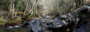
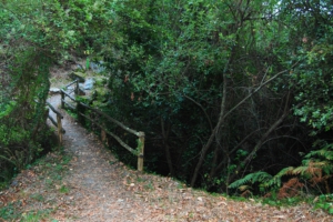
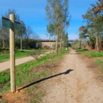
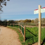
Continuing along the route, you will follow a track through woodland and farmland until reaching the end of the Puigverd industrial estate. Following the route signposts, you will then take a forest track that leads to the Tordera Riverside Promenade, right beside the Tordera River, which you will follow all the way to the town of Tordera.
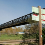
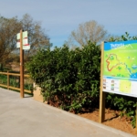
Along this section, which is completely separated from road traffic, you will pass beneath the N-II Bridge, an impressive engineering structure, travel through a small area of allotment gardens, and finally reach Tordera. The section ends at the well-known Pont de Ferro (Iron Bridge), where you can enjoy excellent views over the Tordera River and where another route information panel is located.
From the bridge, you can also easily reach Tordera railway station, which is clearly signposted.