More information about this section…
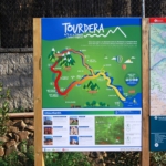
If you would like to follow the Tourdera route between Vallgorguina and Santa Maria de Palautordera, you should know that it is a connecting route from the village of Vallgorguina to Pont Trencat, from where it follows the main Tourdera route to the town of Santa Maria de Palautordera. It is a very attractive section that makes use of much of the Vallgorguina Greenway and of the Tordera route between Sant Celoni and Santa Maria. The itinerary begins at the Vallgorguina Tourist Information Point, where you will find the route information panel and the first route signpost indicating the way to follow. This section is 12 kilometres long, with a cumulative ascent of 145 metres and an overall moderate level of difficulty.
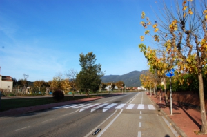
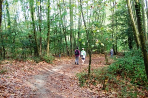
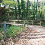
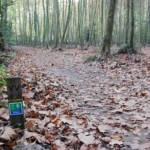
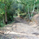
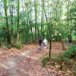
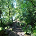
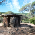
Following the signs, you will walk for a short distance along the C-61 road until reaching the entrance to the village, where a change of direction is quickly indicated. After only a few metres, you will join the Greenway, a peaceful and shady route running parallel to the Vallgorguina stream and used for much of the itinerary. Along the way, you will pass the wastewater treatment plant, the old church of Vallgorguina and eventually reach the Pont d’en Pradell. From this point onwards, the route follows a track into the Parc Natural del Montnegre-Corredor, climbing steadily towards the Pedra Gentil Dolmen. Continuing along the route, you will follow tracks and paths before descending once again towards the Vallgorguina stream, in an area where there is also a recreational circuit.
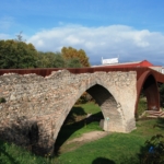
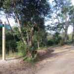
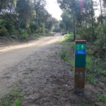
From here, you will continue alongside the Vallgorguina stream until reaching the El Molinot industrial estate. You will then head towards Pont Trencat. Pay close attention to the vertical direction signs, as when you rejoin the main route you will find a signpost indicating the way towards Santa Maria de Palautordera. After a short distance, you will cross directly over the Pont Trencat and continue along the route through an underpass beneath the railway tracks. For several hundred metres, you will pass through the Sot de les Granotes area, belonging to the municipality of Sant Celoni, and soon afterwards reach the Parc dels Enamorats, already within the municipality of Santa Maria. In this park, where you will find a fountain, you can take the opportunity to rest before beginning the final part of the route. The itinerary continues past the Riu-sec, through farmland and, finally, across the Tordera via a metal footbridge just before reaching the Serra neighbourhood of Santa Maria de Palautordera. Once you have crossed the Tordera, you will reach the route information panel in less than one kilometre, marking the end of this section.
Please note that from the Serra neighbourhood you will find signposts leading to the train station. Although it is 3.5 kilometres away, the route is clearly signposted and well separated from traffic.
Below you can consult the map of the route we propose, including the diversion between Pont Trencat and the C-61 road.