
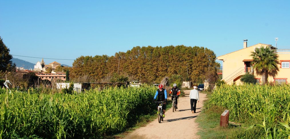
It has been a few years since the first seed of the Tordera Route and Arbúcies Stream project was planted. Despite this, it has been in recent months that the project has begun to be known more profusely, so it is a good time to review what has been done, explain what the project will be like, what objectives it has and what moment we are in.
As you have most likely already seen in more than one place, the project was christened with the name Tourdera in a clear allusion to the name of the Tordera river and also to the French word “tour”, which is commonly used when we want to take a route or “do a tour”. And the Tordera route and Arbúcies stream wants to create an itinerary, to be able to do it on foot and by bicycle, following, as far as possible, the route of these two fluvial courses: the Tordera and the Arbúcies stream.

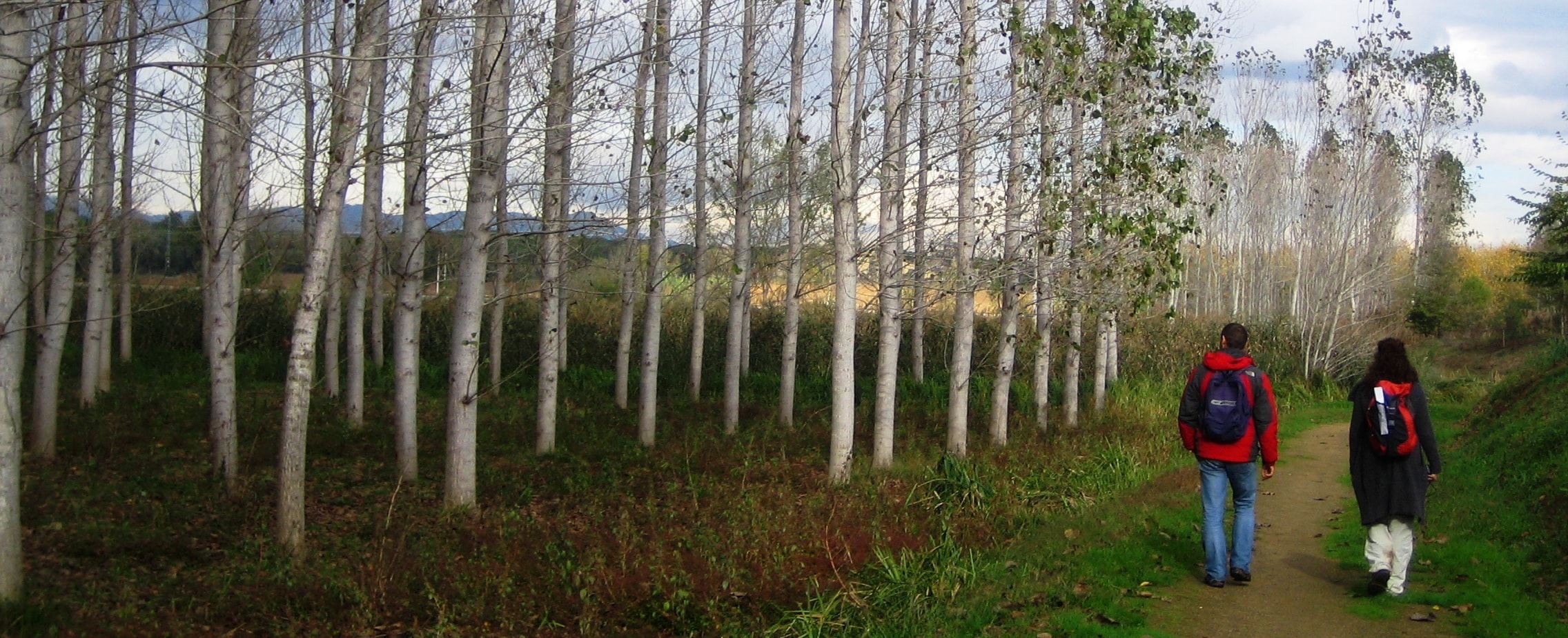
The goal of the Tordera route is, as we have said, to make a route following the Tordera and the Arbúcies stream a reality, through the practice of cycling and hiking, all while allowing the population to discover the territory, promoting the knowledge of the nature and heritage associated with the river, and encouraging the local development of the municipalities with the arrival of new visitors. With these same pretexts, there are already numerous itineraries of these characteristics in other territories, such as large-scale routes like the “Danube Route”, the “Canal du Midi Route”, or in a more modest and close way, the “Muga Natural Path” route, in Empordà.
Taking into account the complexity of a project of this magnitude, basic criteria were established from the beginning:
- Approximation, to the greatest degree possible, to the layout of the river course
- Maximum use of existing itineraries (low or zero motorized traffic)
- Recovery of disused sections (as has been done in Montseny) or creation of new sections in very specific areas
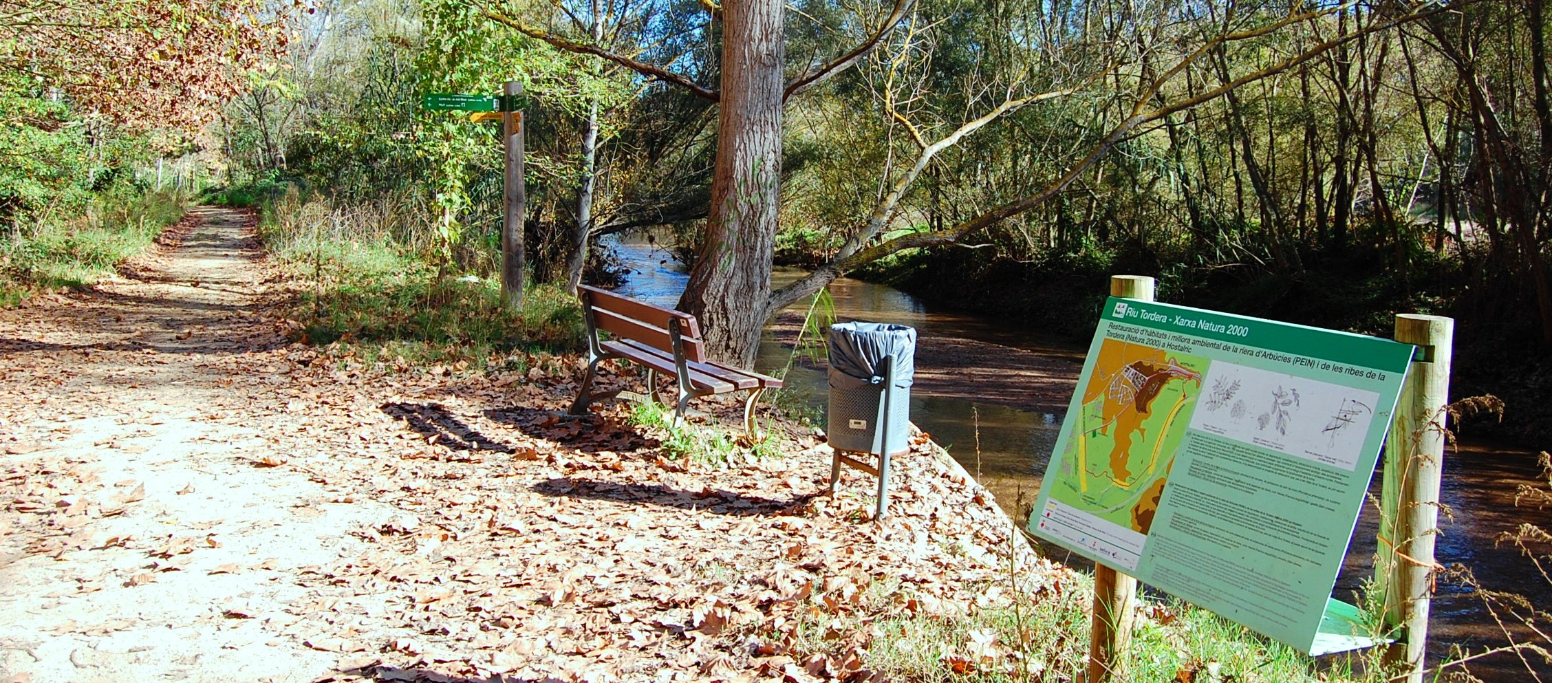
- Directional signaling of the route (vertical and horizontal signs)
- Use of protection elements according to safety and monitoring criteria
- Incorporation of maximum environmental respect and landscape integration criteria
Therefore, taking into account the mentioned criteria, the fact stands out that it is not a Green Way, but a route created from already existing itineraries (forest tracks, paths, trails, urban sections, etc.), always looking for those with the lowest motorized traffic or, if possible, none. The route proposal is almost 200 kilometers, adding the main itinerary, the Arbúcies stream one and small links between population centers or train stations to the main section, as is the case of Massanes, Riells i Viabrea, Breda, Gualba or Vallgorguina. If you want to know the projected layout and the active sections consult the itinerary here, where the main points of interest, facilities, train stations, etc. are also linked.
Regarding the type of public, from the mouth (Malgrat de Mar and Blanes) to Sant Esteve de Palautordera, we are talking about a route generally suitable for family audiences, with rather gentle slopes. On the other hand, from Sant Esteve de Palautordera to the source of the Tordera (Font Bona and Sant Marçal) the route becomes more demanding and with steeper slopes. It is for this reason that, for each section, information will be given on the difficulty of the sections, their length and the accumulated slopes both uphill and downhill, so that users can be informed about the difficulty of the section beforehand. In any case, you should always be attentive to the safety and respect for nature recommendations.
Currently, the Tordera and Arbúcies stream route only has the first active section in the municipality of Montseny, launched during 2016, which represents the first 12 kilometers of active route. In this section, as is planned in others that are still inactive, we find exclusive variants for hikers in cases where bicycle passage is not permitted. As for the rest of the sections, at the moment we are working with the different town councils and the Provincial Councils of Girona and Barcelona to be able to make the rest of the route a reality during the next two years.
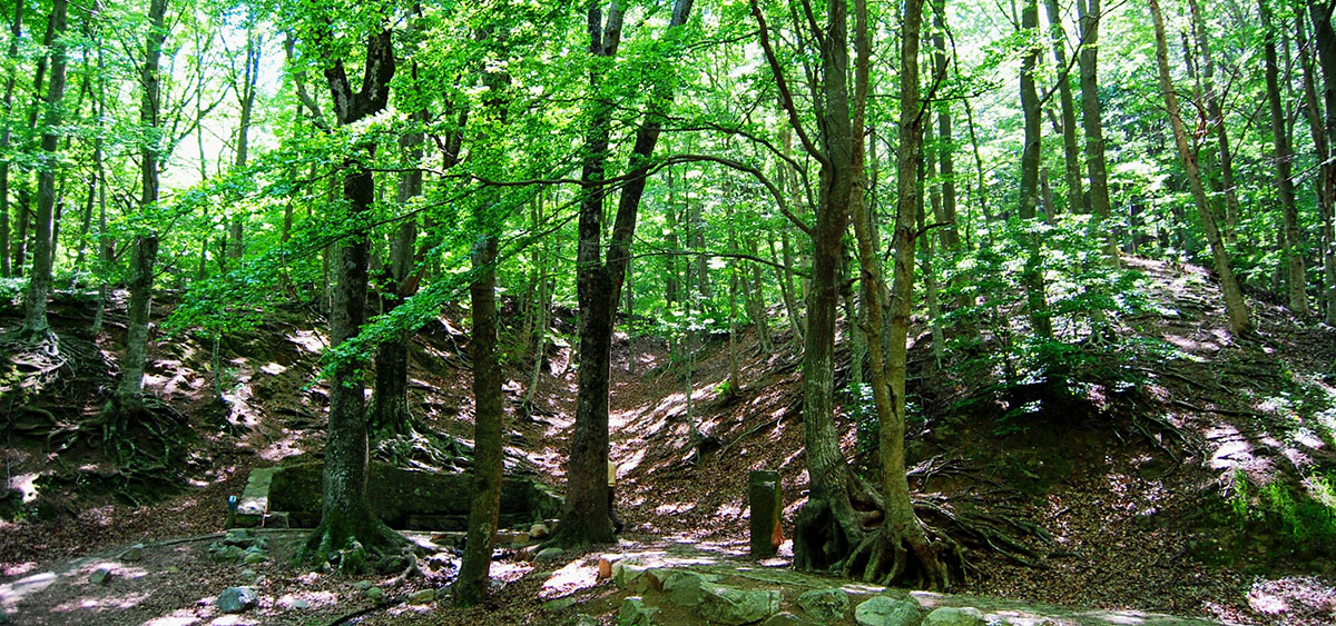
At the moment when the route is correctly enabled and fully active, work will begin with the business sector, mainly in the service sector and all collaborating municipalities. As it has been said, the movement of users through the territory wants to encourage these users to consume in these territories and favor local economic development (consumption of local products, stops at bars and restaurants, overnight stays, contracting of tourist services such as guided tours, bicycle rental and repair, etc.). Likewise, for coastal municipalities, which already receive visitors on their own, the route will be an opportunity to diversify their offer and, therefore, make the destination a more attractive point.
Although important work has already been done to get where we are and we still have a lot of work to do, the first results are already arriving and on the horizon we already see what will surely be an itinerary of great interest for hiking and cycle tourism lovers. If you want to keep up to date with the route’s news you can follow us through our social media profiles (Facebook, Twitter, Google+ and Instagram) or in the news section of the website.



















