More information about this section…
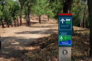
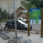
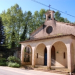
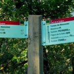
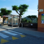
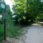
One of the starting points of the Tordera Route is the Maçanet-Massanes train station, which can be reached by train before beginning the journey. As soon as you leave the station, you will find the route information panel and the first wayfinding sign, indicating that you should follow the track to the left. You will also notice signs warning drivers that the route is shared with hikers and cyclists. This track leads to an overpass crossing the railway lines, where the surface becomes paved. After crossing the tracks, you will pass in front of the Church of Sant Josep Obrer and continue towards the GI-555 road.
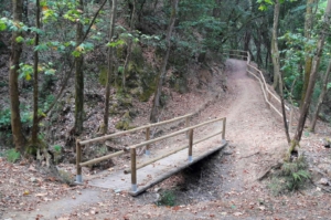
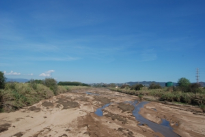
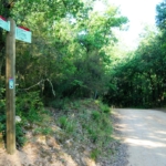
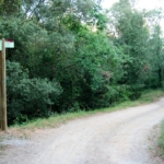
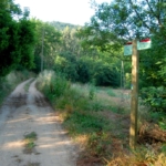
When you reach this road, you can either cross it at road level, taking great care as indicated by the signage (it is a very busy road), or follow the small alternative route shown on the wayfinding signs, which invites you to cross beneath the road using the underpass created by the bridge carrying the road over the Massanes stream. You should only avoid this underpass during floods or periods of heavy rainfall. After crossing the GI-555, continue along a very peaceful and pleasant forest track that passes by Can Ramilans and leads to the Water Treatment Plant. At this point, take the new track on your left, following the wayfinding signs, which will lead you to Mas Coll and, a few metres further on, to the road serving the Cambrerol neighbourhood, which will then take you directly into Massanes.
The section ends when you reach Carrer Major, where there is a small playground and the municipal storage building. On the wall of this building, you will find the route information panel. Remember that throughout the section you will encounter wayfinding signs and yellow trail markings that follow the traditional hiking system: a single line indicates that you are on the correct path, a cross indicates that you are on the wrong path, and a 90° angle marker indicates a sharp change of direction or a turn.